Robinson's Copse
Wood, Forest in Somerset Somerset West and Taunton
England
Robinson's Copse
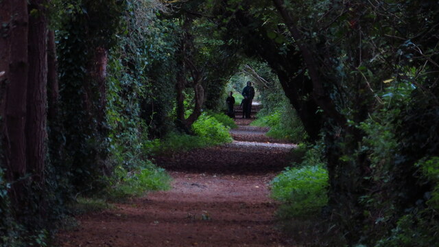
Robinson's Copse is a charming woodland located in Somerset, England. This picturesque copse covers an area of approximately 10 acres and is nestled amidst the rolling countryside of the region. It is situated near the village of Robinson, from which it derives its name.
The copse is predominantly composed of deciduous trees, creating a diverse and vibrant environment. Oak, beech, and ash trees dominate the landscape, providing a rich canopy that filters sunlight and creates a tranquil atmosphere. The forest floor is blanketed with a variety of wildflowers, ferns, and mosses, adding to the natural beauty of the copse.
Robinson's Copse is home to a diverse range of wildlife. Birdsong can be heard throughout the year, as numerous species of birds make their nests in the trees. Woodpeckers, robins, and thrushes are commonly spotted, along with occasional sightings of owls and buzzards. Squirrels scamper through the branches, while foxes and badgers roam the forest floor in search of food.
The copse is a popular destination for nature lovers and hikers. A network of well-maintained trails meander through the woodland, allowing visitors to explore its beauty at their own pace. The peaceful atmosphere and abundant wildlife make it an ideal place for birdwatching and photography.
Overall, Robinson's Copse is a hidden gem in Somerset, offering a serene and enchanting woodland experience. Its natural beauty, diverse flora, and fauna make it a must-visit destination for those seeking a connection with nature in the heart of the English countryside.
If you have any feedback on the listing, please let us know in the comments section below.
Robinson's Copse Images
Images are sourced within 2km of 51.179069/-3.3712704 or Grid Reference ST0443. Thanks to Geograph Open Source API. All images are credited.


Robinson's Copse is located at Grid Ref: ST0443 (Lat: 51.179069, Lng: -3.3712704)
Administrative County: Somerset
District: Somerset West and Taunton
Police Authority: Avon and Somerset
What 3 Words
///stunt.exit.ripples. Near Watchet, Somerset
Nearby Locations
Related Wikis
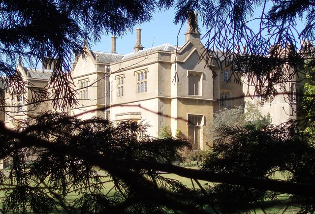
Chapel Cleeve Manor
Chapel Cleeve Manor in Chapel Cleeve, Somerset, England started life in the 1450s as a pilgrims' hostel. It was enlarged in the 19th and 20th centuries...
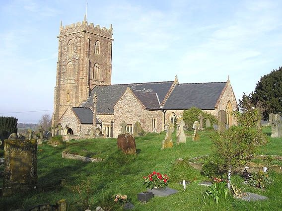
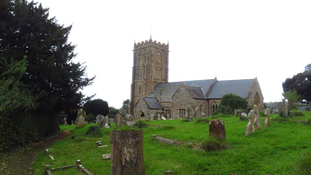
Old Cleeve
Old Cleeve is a village 5 miles (8 km) south east of Minehead in the Somerset West and Taunton district of Somerset, England, and also a civil parish....

Cleeve Hill SSSI, Somerset
Cleeve Hill (grid reference ST056428) is a 15.1 hectare (37.4 acre) biological Site of Special Scientific Interest between Old Cleeve and Watchet in Somerset...
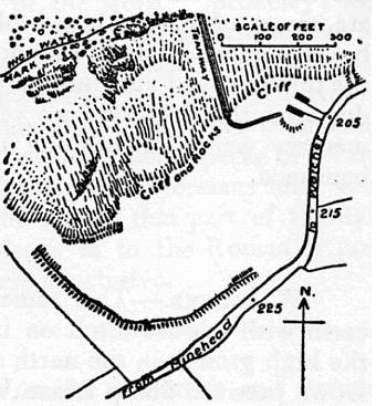
Daw's Castle
Daw's Castle (or Dart's Castle or Dane's Castle) is a sea cliff hillfort just west of Watchet, a harbour town in Somerset, England. It is a Scheduled Monument...

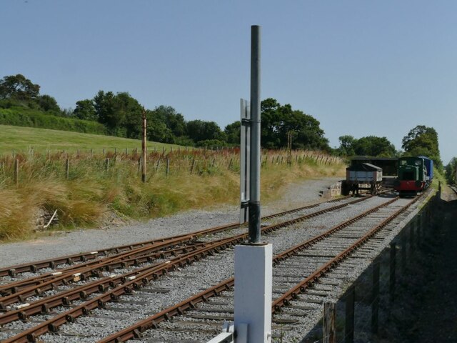
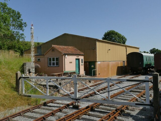
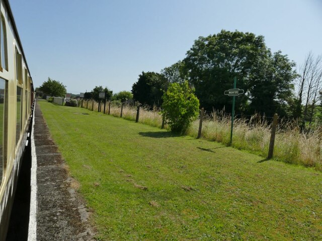
Washford railway station
Washford railway station is a station on the West Somerset Railway, a heritage railway in England. The station is situated in the village of Washford...
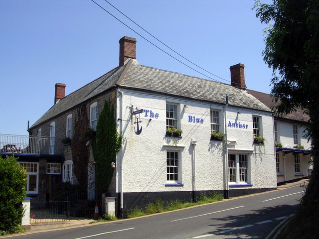
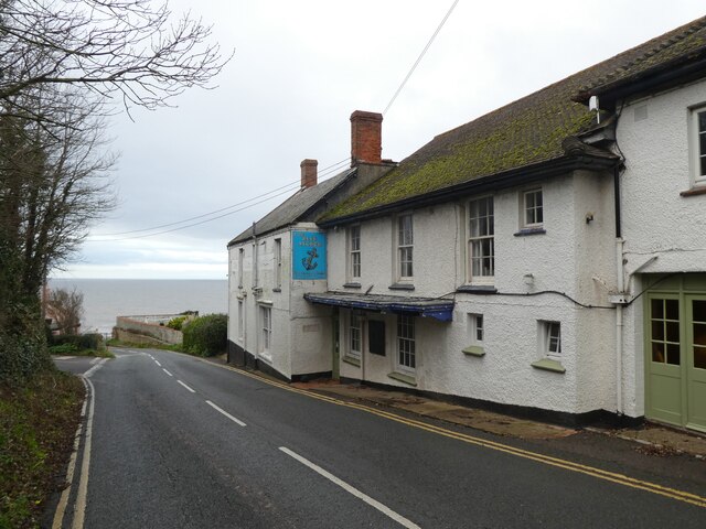
Blue Anchor
Blue Anchor is a seaside village, in the parish of Old Cleeve, close to Carhampton in the Somerset West and Taunton district of Somerset, England. The...
Blue Anchor to Lilstock Coast SSSI
Blue Anchor to Lilstock Coast SSSI (grid reference ST033435 to grid reference ST195462) is a 742.8 hectare geological Site of Special Scientific Interest...

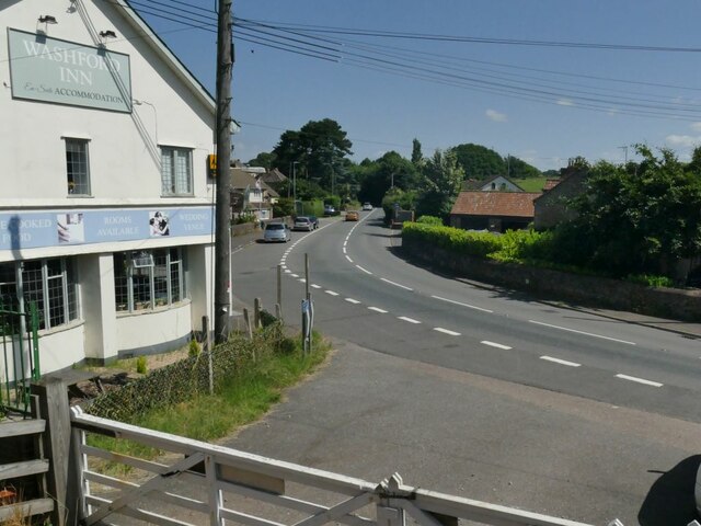
Washford
Washford is a village on the Washford River in the civil parish of Old Cleeve, Somerset, England. The village is next to Cleeve Abbey, one of the best...
Nearby Amenities
Located within 500m of 51.179069,-3.3712704Have you been to Robinson's Copse?
Leave your review of Robinson's Copse below (or comments, questions and feedback).