Broom Close Copse
Wood, Forest in Somerset Somerset West and Taunton
England
Broom Close Copse
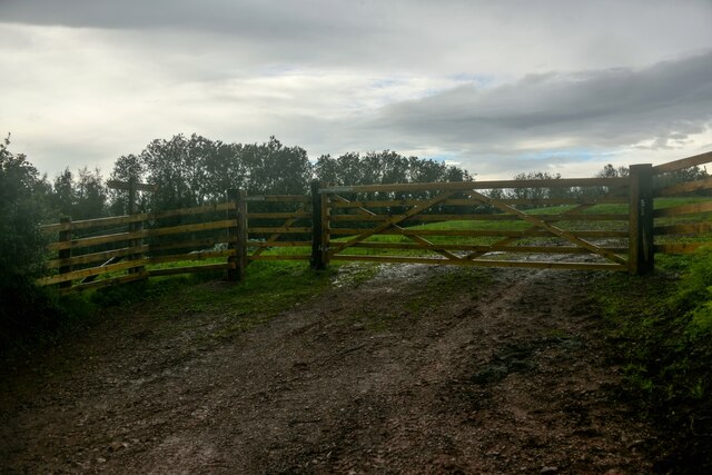
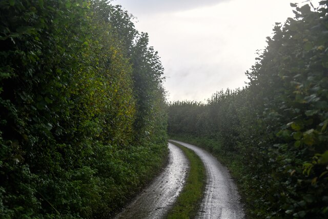
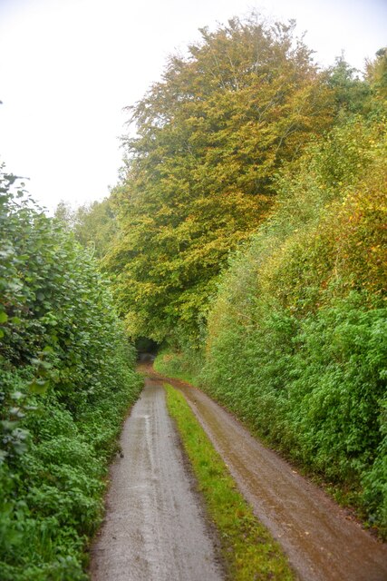
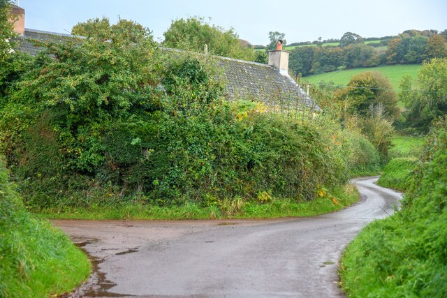
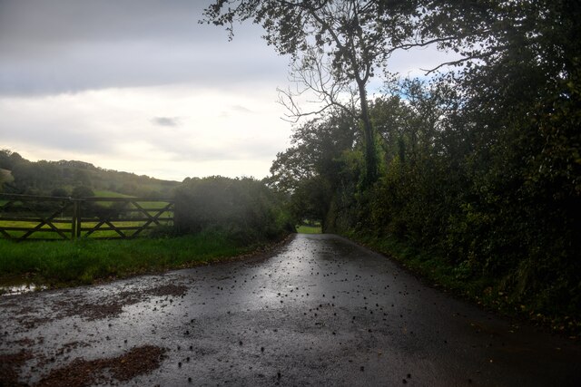
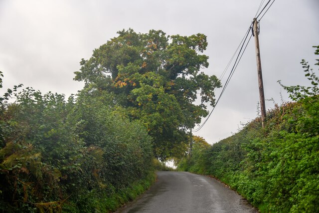
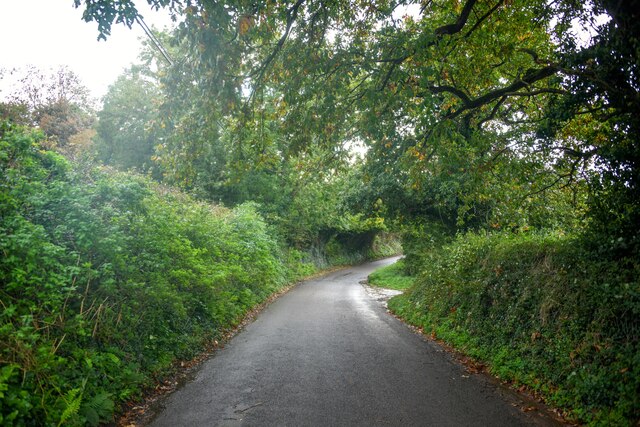
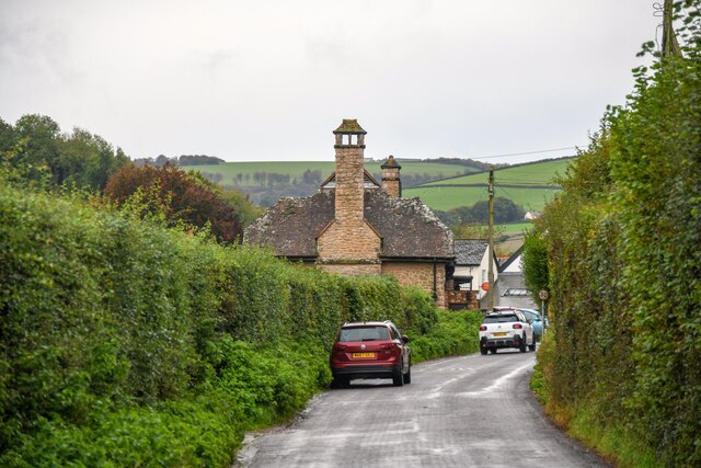
Broom Close Copse is a picturesque woodland located in Somerset, England. It covers an area of approximately 20 acres and is situated near the village of Broomfield. This copse is a part of the larger Somerset Levels and Moors, a wetland area famous for its diverse wildlife and natural beauty.
The copse is predominantly composed of deciduous trees such as oak, beech, and ash, which create a dense and vibrant canopy during the summer months. The woodland floor is covered in a thick carpet of moss, ferns, and wildflowers, providing a haven for various species of insects, birds, and small mammals.
Visitors to Broom Close Copse can enjoy a peaceful and tranquil atmosphere as they explore the winding footpaths that meander through the woodland. These paths offer opportunities for leisurely walks, birdwatching, and photography. The copse is particularly beautiful in the autumn when the leaves change color, creating a stunning display of reds, oranges, and yellows.
Furthermore, Broom Close Copse is managed by the local conservation authority, ensuring the preservation of its natural habitats and biodiversity. The copse is also home to a number of rare and protected species, including the lesser spotted woodpecker and the common pipistrelle bat.
Overall, Broom Close Copse is a charming woodland destination that offers visitors the chance to connect with nature and enjoy the tranquility of the Somerset countryside.
If you have any feedback on the listing, please let us know in the comments section below.
Broom Close Copse Images
Images are sourced within 2km of 51.149385/-3.3705046 or Grid Reference ST0439. Thanks to Geograph Open Source API. All images are credited.


Broom Close Copse is located at Grid Ref: ST0439 (Lat: 51.149385, Lng: -3.3705046)
Administrative County: Somerset
District: Somerset West and Taunton
Police Authority: Avon and Somerset
What 3 Words
///alcove.plausible.audible. Near Williton, Somerset
Nearby Locations
Related Wikis

Torre (WSMR) railway station
Torre was a recognised stopping place, not a formal station, on the West Somerset Mineral Railway (WSMR). The railway's prime purpose was to carry iron...
Clitsome railway station
Clitsome was a recognised stopping place, not a formal station, on the West Somerset Mineral Railway (WSMR). The railway's prime purpose was to carry iron...

Cleeve Abbey
Cleeve Abbey is a medieval monastery located near the village of Washford, in Somerset, England. It is a Grade I listed building and has been scheduled...

Washford railway station
Washford railway station is a station on the West Somerset Railway, a heritage railway in England. The station is situated in the village of Washford...
Washford
Washford is a village on the Washford River in the civil parish of Old Cleeve, Somerset, England. The village is next to Cleeve Abbey, one of the best...

Roadwater
Roadwater is a village 3 miles (5 km) south-west of Williton, on the northern edge of the Exmoor National Park, in Somerset, England. == History == The...
Washford (WSMR) railway station
Washford was an intermediate station on the West Somerset Mineral Railway (WSMR), which was built primarily to carry iron ore from mines to Watchet harbour...
Roadwater railway station
The Roadwater railway station was an intermediate station on the West Somerset Mineral Railway (WSMR), which was built primarily to carry iron ore from...
Nearby Amenities
Located within 500m of 51.149385,-3.3705046Have you been to Broom Close Copse?
Leave your review of Broom Close Copse below (or comments, questions and feedback).