Hagg Wood

Wood, Forest in Cumberland Copeland

England

Hagg Wood

A595 at The Stanley Arms, Calder Bridge
A595 at The Stanley Arms, Calder Bridge Credit: Colin Pyle

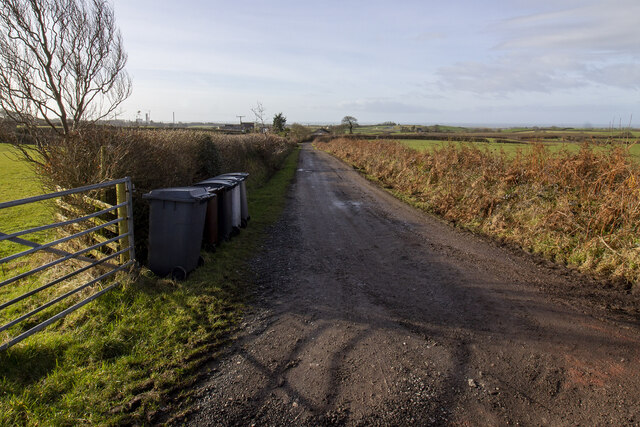
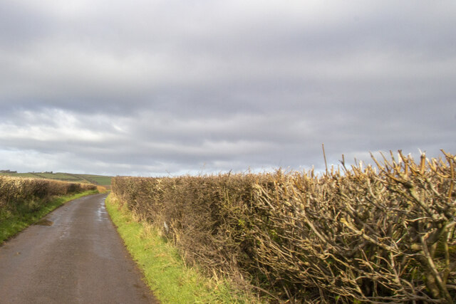
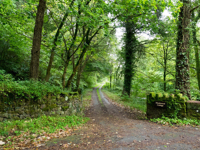
Hagg Wood is a picturesque woodland located in the county of Cumberland, England. Spanning approximately 50 acres, it is a beautiful example of a mixed deciduous forest, consisting of a variety of tree species including oak, ash, birch, and beech. The woodland is situated on the outskirts of a small village, surrounded by rolling hills and farmland, creating a tranquil and idyllic setting.

One of the defining features of Hagg Wood is its rich biodiversity. The forest floor is carpeted with an array of wildflowers, providing a vibrant display of colors throughout the seasons. The wood is also home to a diverse range of wildlife, including deer, squirrels, badgers, and a multitude of bird species. Birdwatchers can delight in spotting woodpeckers, nuthatches, and tawny owls among the branches.

Hagg Wood is a popular destination for nature enthusiasts and walkers alike. The woodland offers a network of well-maintained footpaths, allowing visitors to explore its beauty at their leisure. There are also designated picnic areas and benches, providing the perfect spot to relax and enjoy the peaceful surroundings.

In addition to its natural beauty, Hagg Wood holds historical significance. It is believed to have been part of a larger forest centuries ago, providing timber for local communities. Remnants of this past can still be seen in the form of ancient boundary walls and old charcoal platforms.

Overall, Hagg Wood is a cherished local treasure, offering a serene escape from the hustle and bustle of everyday life. Its combination of scenic beauty, diverse wildlife, and rich history make it an enchanting destination for nature lovers and history enthusiasts alike.

If you have any feedback on the listing, please let us know in the comments section below.
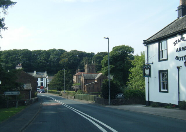
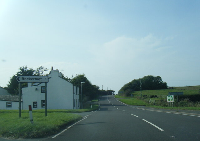
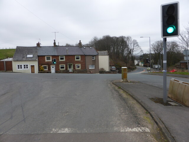
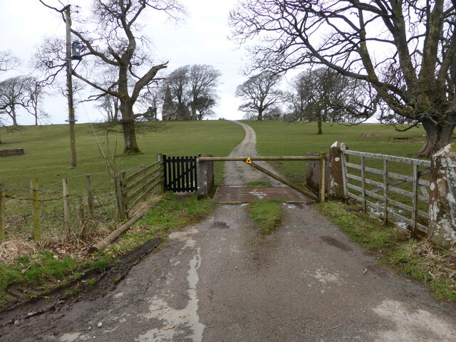
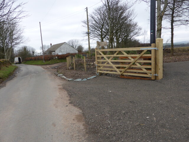
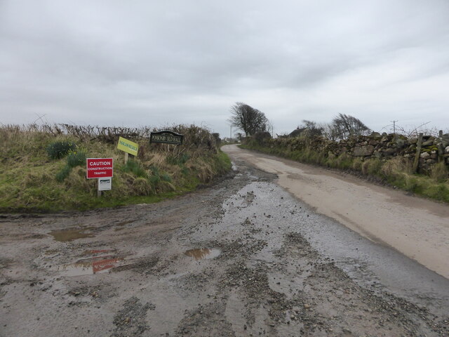
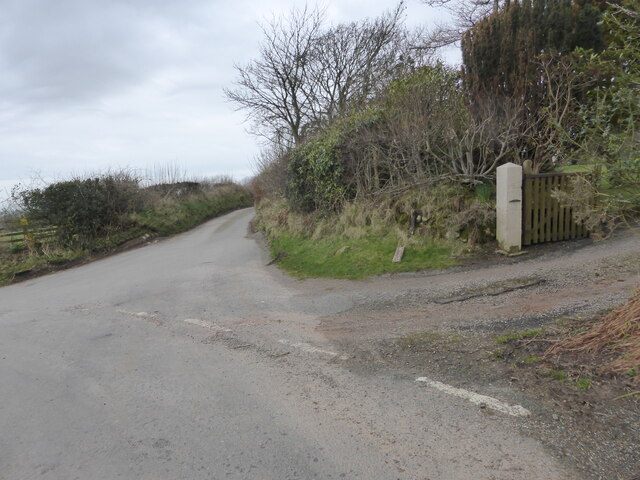
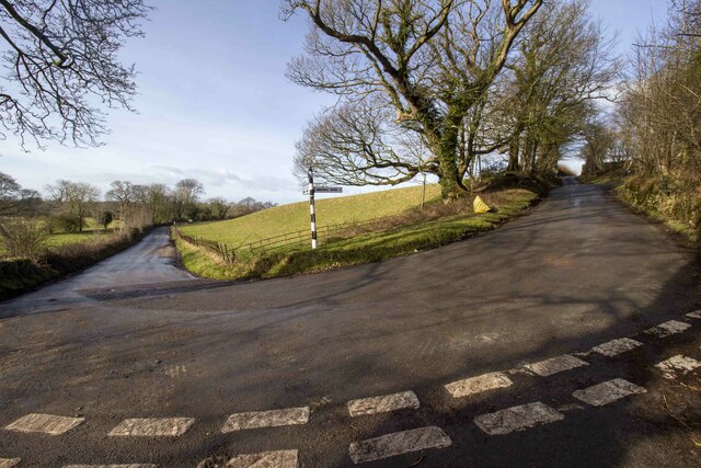
Hagg Wood Images

Images are sourced within 2km of 54.441264/-3.4800613 or Grid Reference NY0406. Thanks to Geograph Open Source API. All images are credited.

A595 at The Stanley Arms, Calder Bridge
A595 at Nursery Houses
Road junction at Calder Bridge This is a busy junction, serving one of the entry gates for Sellafield site.
Road junction at Calder Bridge
This is a busy junction, serving one of the entry gates for Sellafield site.
The driveway to Ponsonby Church
Where the bridleway to Ponsonby leaves the road
The lane to Ponsonby Old Hall
The lane to Gibb Hill Farm
Hairpin bend and signpost
Farm track to Moor House Farm Farm track bounded by hedgerows
Farm track to Moor House Farm
Farm track bounded by hedgerows
Road at Sheepfields Farm Road at Sheepfields Farm bounded by hedgerows
Road at Sheepfields Farm
Road at Sheepfields Farm bounded by hedgerows
Direction Sign – Signpost by the Cold Fell road near Calder Abbey Located on the northwest side of the junction of the Cold Fell Road and the road to Thornholme, near Calder Abbey. Ponsonby parish. 3 arms and annulus finial. See <a title="https://www.geograph.org.uk/photo/6093912" href="https://www.geograph.org.uk/photo/6093912">Link</a> for an older photo before two missing arms were replaced.

Milestone Society National ID: CU_NY0406B
Direction Sign – Signpost by the Cold Fell road near Calder Abbey
Located on the northwest side of the junction of the Cold Fell Road and the road to Thornholme, near Calder Abbey. Ponsonby parish. 3 arms and annulus finial. See Link for an older photo before two missing arms were replaced. Milestone Society National ID: CU_NY0406B
Direction Sign – Signpost Signpost on the Cold Fell Road in Ponsonby parish Located on the southeast side of the junction of the Cold Fell Road and the road to Haile in Ponsonby parish. 3 arms and annulus finial. See also <a title="https://www.geograph.org.uk/photo/6068800" href="https://www.geograph.org.uk/photo/6068800">Link</a> which shows this before it was refurbished.

Milestone Society National ID: CU_NY0406A
Direction Sign – Signpost Signpost on the Cold Fell Road in Ponsonby parish
Located on the southeast side of the junction of the Cold Fell Road and the road to Haile in Ponsonby parish. 3 arms and annulus finial. See also Link which shows this before it was refurbished. Milestone Society National ID: CU_NY0406A
Sellafield from the air To folk of my generation, it will always be known as Windscale. Wikipedia <span class="nowrap"><a title="https://en.wikipedia.org/wiki/Sellafield" rel="nofollow ugc noopener" href="https://en.wikipedia.org/wiki/Sellafield">Link</a><img style="margin-left:2px;" alt="External link" title="External link - shift click to open in new window" src="https://s1.geograph.org.uk/img/external.png" width="10" height="10"/></span> .

Lingbank Plantation is in the foreground.

See also <a href="https://www.geograph.org.uk/photo/4651260">NY0404 : Sellafield from the air</a>.
Sellafield from the air
To folk of my generation, it will always be known as Windscale. Wikipedia LinkExternal link . Lingbank Plantation is in the foreground. See also NY0404 : Sellafield from the air.
Sellafield from the air To folk of my generation, it will always be known as Windscale. Wikipedia <span class="nowrap"><a title="https://en.wikipedia.org/wiki/Sellafield" rel="nofollow ugc noopener" href="https://en.wikipedia.org/wiki/Sellafield">Link</a><img style="margin-left:2px;" alt="External link" title="External link - shift click to open in new window" src="https://s1.geograph.org.uk/img/external.png" width="10" height="10"/></span> .

Lingbank Plantation is in the foreground.

See also <a href="https://www.geograph.org.uk/photo/4651256">NY0404 : Sellafield from the air</a>.
Sellafield from the air
To folk of my generation, it will always be known as Windscale. Wikipedia LinkExternal link . Lingbank Plantation is in the foreground. See also NY0404 : Sellafield from the air.
Ordnance Survey Cut Mark This OS cut mark can be found on the NW face of St Bridget's Church. It marks a point 53.739m above mean sea level.
Ordnance Survey Cut Mark
This OS cut mark can be found on the NW face of St Bridget's Church. It marks a point 53.739m above mean sea level.
Sellafield from above the Lake District A view looking southwest.
Sellafield from above the Lake District
A view looking southwest.
Access road for Monkwood Cottage The road by which the cottage is reached runs alongside the River Calder which passes beneath Stakes Bridge just to the right, out of the image.
Access road for Monkwood Cottage
The road by which the cottage is reached runs alongside the River Calder which passes beneath Stakes Bridge just to the right, out of the image.
Access road near to Calder Abbey The road is not an access route for the remains of the abbey itself but for another nearby property; it leaves a minor road east of Calder Bridge on its south side.
Access road near to Calder Abbey
The road is not an access route for the remains of the abbey itself but for another nearby property; it leaves a minor road east of Calder Bridge on its south side.
Show me another place!

Hagg Wood is located at Grid Ref: NY0406 (Lat: 54.441264, Lng: -3.4800613)

Administrative County: Cumbria

District: Copeland

Police Authority: Cumbria

What 3 Words

///skills.verve.large. Near Seascale, Cumbria

Related Wikis

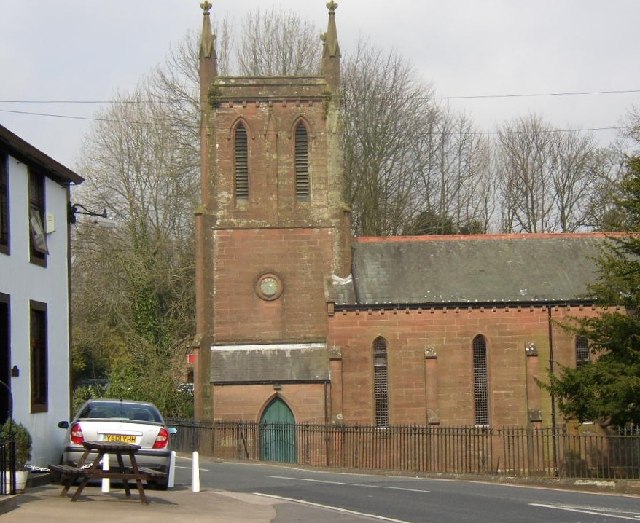
St Bridget's Church, Calder Bridge

St Bridget's Church is on the north side of the A595 road in the village of Calder Bridge, near Beckermet, Cumbria, England. It is an active Anglican parish...

Calder Bridge

Calder Bridge (also Calderbridge) is a small village in Cumbria in England. It is located between the hamlets of Gosforth and Beckermet and lies on the...
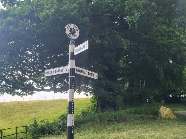
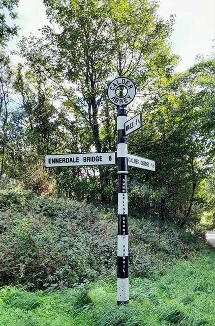
Calder Abbey

Calder Abbey in Cumbria was a Savigniac monastery founded in 1134 by Ranulph de Gernon, 2nd Earl of Chester, and moved to this site following a refoundation...

Blackbeck

Blackbeck is a small village in Cumbria, England. It is northeast of Beckermet and Sellafield, along the A595 road. It contains properties such as the...

Ponsonby, Cumbria

Ponsonby is a village and civil parish in the Borough of Copeland of the county of Cumbria, England. Ponsonby has a church which was constructed in 1840...
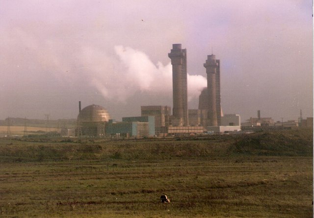
Windscale fire

The Windscale fire of 10 October 1957 was the worst nuclear accident in the United Kingdom's history, and one of the worst in the world, ranked in severity...

Windscale Piles

The Windscale Piles were two air-cooled graphite-moderated nuclear reactors on the Windscale nuclear site in Cumberland (now known as Sellafield site,...

St John, Beckermet

St John, Beckermet, is in Beckermet, Cumbria, England. It is an Anglican parish church in the deanery of Calder, and the diocese of Carlisle. Its benefice...

Nearby Amenities

Located within 500m of 54.441264,-3.4800613
Traffic Signals
Source: survey
Lat/Long: 54.4397711/-3.4828257
Calder Bridge
Place: village
Source: npe
Wikidata: Q21084536
Lat/Long: 54.4403162/-3.4812954
Bus Stop
Calder Bridge
Bench: yes
Bin: yes
Covered: no
Naptan AtcoCode: 090050242368
Naptan Bearing: W
Naptan CommonName: Calder Bridge
Naptan Indicator: o/s
Naptan Landmark: Low Croft
Naptan NaptanCode: cumawgdw
Naptan Street: A596(T)
Naptan Verified: no
Shelter: no
Source: naptan_import
Lat/Long: 54.4399375/-3.4803049
Bus Stop
The Golden Fleece
Bench: yes
Covered: no
Naptan AtcoCode: 090050242825
Naptan Bearing: S
Naptan BusStopType: CUS
Naptan CommonName: The Golden Fleece
Naptan Indicator: o/s
Naptan Landmark: The Golden Fleece
Naptan NaptanCode: cumawgja
Naptan Street: A595(T)
Naptan Verified: no
Shelter: no
Source: naptan_import
Lat/Long: 54.4402259/-3.4792031
Telephone
Booth: K6
Covered: booth
Man Made: telephone_box
Source: survey
Lat/Long: 54.4404642/-3.4791482
Barrier: cattle_grid
Source: survey
Lat/Long: 54.4444117/-3.4843928
Pub
Golden Fleece
Addr City: Calder Bridge
Addr Postcode: CA20 1DH
Addr Street: The Square
Phone: +44 1946 841151
Lat/Long: 54.4404207/-3.4796514
Mill Garden Machinery
Phone: +44 1946 841413
Shop: Garden_Machinery
Lat/Long: 54.4411054/-3.4791016
Parking
Parking: lane
Lat/Long: 54.4400548/-3.4831828
Post Box
Post Box Type: wall
Ref: CA20 84
Lat/Long: 54.4402931/-3.4789186
Material: wood
Power: pole
Lat/Long: 54.4385661/-3.4756869
Material: wood
Power: pole
Lat/Long: 54.4382167/-3.4748688
Power: pole
Lat/Long: 54.4397579/-3.473403
Power: pole
Lat/Long: 54.4404863/-3.4733641
Power: pole
Lat/Long: 54.4415704/-3.4733507
Power: pole
Lat/Long: 54.4423471/-3.4733051
Power: pole
Lat/Long: 54.4434312/-3.4732997
Give Way
Direction: forward
Lat/Long: 54.4403801/-3.4791655
Entrance: yes
Lat/Long: 54.4406947/-3.4791904
Bench
Lat/Long: 54.4405797/-3.4789936
Historic: memorial
Material: stone
Memorial: war_memorial
Lat/Long: 54.4406177/-3.4791108
Entrance: yes
Lat/Long: 54.4405852/-3.4789482
Direction: 250
Generator Method: photovoltaic
Generator Output Electricity: yes
Generator Solar Modules: 10
Generator Source: solar
Generator Type: solar_photovoltaic_panel
Location: roof
Power: generator
Lat/Long: 54.4402167/-3.4804388
Direction: 70
Generator Method: photovoltaic
Generator Output Electricity: yes
Generator Solar Modules: 6
Generator Source: solar
Generator Type: solar_photovoltaic_panel
Location: roof
Power: generator
Lat/Long: 54.4402219/-3.4804076
Direction: S
Generator Method: photovoltaic
Generator Output Electricity: yes
Generator Source: solar
Generator Type: solar_photovoltaic_panel
Location: roof
Power: generator
Lat/Long: 54.4392461/-3.4833273
Direction: S
Generator Method: photovoltaic
Generator Output Electricity: yes
Generator Solar Modules: 6
Generator Source: solar
Generator Type: solar_photovoltaic_panel
Location: roof
Power: generator
Lat/Long: 54.4379466/-3.4810378
Direction: E
Generator Method: photovoltaic
Generator Output Electricity: yes
Generator Solar Modules: 10
Generator Source: solar
Generator Type: solar_photovoltaic_panel
Location: roof
Power: generator
Lat/Long: 54.4379552/-3.4809057
Power: pole
Lat/Long: 54.4401281/-3.4839054
Power: pole
Lat/Long: 54.4405614/-3.4847744
Power: pole
Lat/Long: 54.4411022/-3.4858415
Power: pole
Lat/Long: 54.4417294/-3.4867733
Power: pole
Lat/Long: 54.442197/-3.4874878
Power: pole
Lat/Long: 54.4405658/-3.483671
Power: pole
Lat/Long: 54.4405647/-3.4824172
Power: pole
Lat/Long: 54.440568/-3.4808528
Power: pole
Lat/Long: 54.4394909/-3.4805136
Power: pole
Lat/Long: 54.4391219/-3.4790025
Power: pole
Lat/Long: 54.4387916/-3.4776496
Power: pole
Lat/Long: 54.4385611/-3.4766834
Power: pole
Lat/Long: 54.4376357/-3.476611
Power: pole
Lat/Long: 54.4386143/-3.4756163
The data included in this document is from www.openstreetmap.org. The data is made available under ODbL.

Have you been to Hagg Wood?

Leave your review of Hagg Wood below (or comments, questions and feedback).