Calder Abbey

Heritage Site in Cumberland Copeland

England

Calder Abbey

A595 at The Stanley Arms, Calder Bridge
A595 at The Stanley Arms, Calder Bridge Credit: Colin Pyle

Calder Abbey is a historic heritage site located in Cumberland, a county in the northwest region of England. Founded in 1134, the abbey is situated in the picturesque Calder Valley, surrounded by lush greenery and rolling hills.

The abbey was originally established as a Cistercian monastery by Ranulph de Meschines, the 4th Earl of Chester. Over the centuries, Calder Abbey underwent several renovations and expansions, resulting in the impressive architectural structure that stands today. The abbey's design features a combination of Romanesque and Gothic styles, showcasing its rich history and the influence of different architectural periods.

One of the most striking features of Calder Abbey is its beautifully preserved stained glass windows, which depict religious scenes and intricate designs. These windows are considered to be some of the finest examples of medieval stained glass in the country.

Visitors to Calder Abbey can explore the ruins of the monastery, stroll through the tranquil gardens, and admire the awe-inspiring architecture. The site offers guided tours, allowing visitors to learn about the abbey's history and the daily life of the Cistercian monks who once inhabited the premises.

Calder Abbey is not only a significant historical site but also a place of natural beauty. Its location in the scenic Calder Valley provides visitors with the opportunity to enjoy peaceful walks and take in the stunning views of the surrounding countryside.

Overall, Calder Abbey is a must-visit destination for history enthusiasts, architecture lovers, and nature seekers alike. Its combination of historical significance, architectural beauty, and natural splendor make it a truly remarkable heritage site in Cumberland.

If you have any feedback on the listing, please let us know in the comments section below.
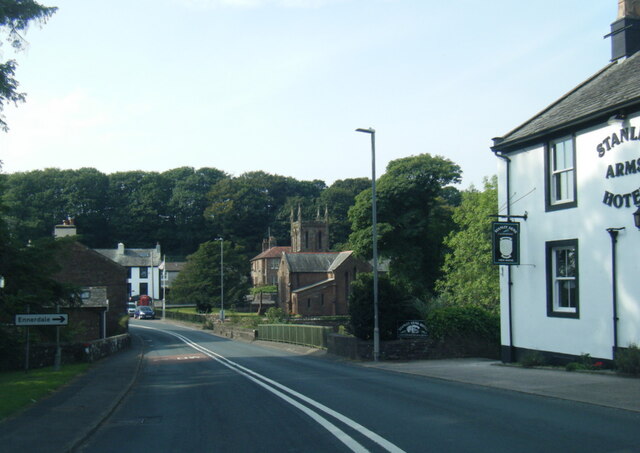
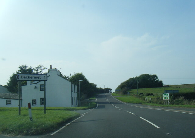
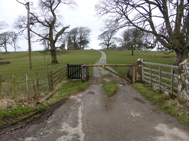
Calder Abbey Images

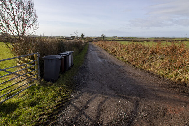
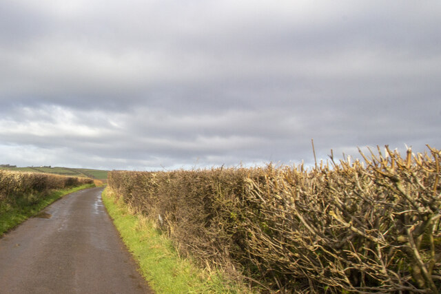
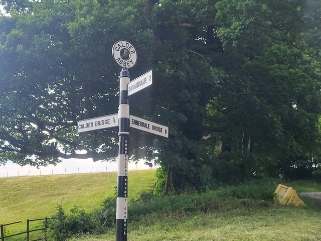
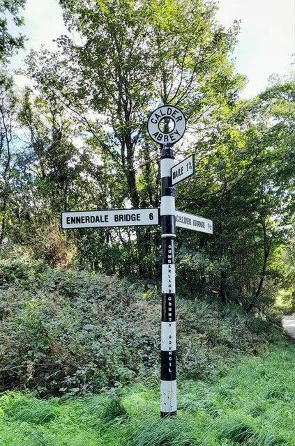
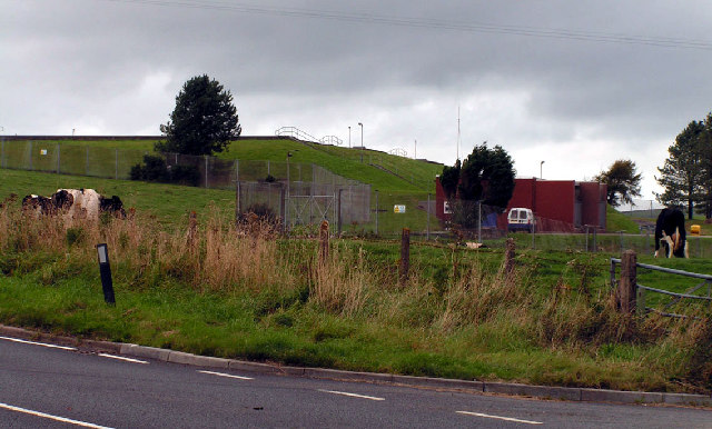
Images are sourced within 2km of 54.445/-3.473 or Grid Reference NY0406. Thanks to Geograph Open Source API. All images are credited.

A595 at The Stanley Arms, Calder Bridge
A595 at Nursery Houses
Road junction at Calder Bridge This is a busy junction, serving one of the entry gates for Sellafield site.
Road junction at Calder Bridge
This is a busy junction, serving one of the entry gates for Sellafield site.
The driveway to Ponsonby Church
Where the bridleway to Ponsonby leaves the road
The lane to Ponsonby Old Hall
The lane to Gibb Hill Farm
Hairpin bend and signpost
Farm track to Moor House Farm Farm track bounded by hedgerows
Farm track to Moor House Farm
Farm track bounded by hedgerows
Road at Sheepfields Farm Road at Sheepfields Farm bounded by hedgerows
Road at Sheepfields Farm
Road at Sheepfields Farm bounded by hedgerows
Direction Sign – Signpost by the Cold Fell road near Calder Abbey Located on the northwest side of the junction of the Cold Fell Road and the road to Thornholme, near Calder Abbey. Ponsonby parish. 3 arms and annulus finial. See <a title="https://www.geograph.org.uk/photo/6093912" href="https://www.geograph.org.uk/photo/6093912">Link</a> for an older photo before two missing arms were replaced.

Milestone Society National ID: CU_NY0406B
Direction Sign – Signpost by the Cold Fell road near Calder Abbey
Located on the northwest side of the junction of the Cold Fell Road and the road to Thornholme, near Calder Abbey. Ponsonby parish. 3 arms and annulus finial. See Link for an older photo before two missing arms were replaced. Milestone Society National ID: CU_NY0406B
Direction Sign – Signpost Signpost on the Cold Fell Road in Ponsonby parish Located on the southeast side of the junction of the Cold Fell Road and the road to Haile in Ponsonby parish. 3 arms and annulus finial. See also <a title="https://www.geograph.org.uk/photo/6068800" href="https://www.geograph.org.uk/photo/6068800">Link</a> which shows this before it was refurbished.

Milestone Society National ID: CU_NY0406A
Direction Sign – Signpost Signpost on the Cold Fell Road in Ponsonby parish
Located on the southeast side of the junction of the Cold Fell Road and the road to Haile in Ponsonby parish. 3 arms and annulus finial. See also Link which shows this before it was refurbished. Milestone Society National ID: CU_NY0406A
Ordnance Survey Cut Mark This OS cut mark can be found on the NW face of St Bridget's Church. It marks a point 53.739m above mean sea level.
Ordnance Survey Cut Mark
This OS cut mark can be found on the NW face of St Bridget's Church. It marks a point 53.739m above mean sea level.
Access road for Monkwood Cottage The road by which the cottage is reached runs alongside the River Calder which passes beneath Stakes Bridge just to the right, out of the image.
Access road for Monkwood Cottage
The road by which the cottage is reached runs alongside the River Calder which passes beneath Stakes Bridge just to the right, out of the image.
Access road near to Calder Abbey The road is not an access route for the remains of the abbey itself but for another nearby property; it leaves a minor road east of Calder Bridge on its south side.
Access road near to Calder Abbey
The road is not an access route for the remains of the abbey itself but for another nearby property; it leaves a minor road east of Calder Bridge on its south side.
Farm lane near Ponsonby Ponsonby Church can be seen in the distance.
Farm lane near Ponsonby
Ponsonby Church can be seen in the distance.
Farm lane between Ponsonby and Calder Hall Looking north-east.
Farm lane between Ponsonby and Calder Hall
Looking north-east.
Ponsonby Church at dusk
Show me another place!

Calder Abbey is located at Grid Ref: NY0406 (Lat: 54.445, Lng: -3.473)

Administrative County: Cumbria

District: Copeland

Police Authority: Cumbria

What 3 Words

///dairies.lamplight.shades. Near Seascale, Cumbria

Related Wikis

Calder Abbey

Calder Abbey in Cumbria was a Savigniac monastery founded in 1134 by Ranulph de Gernon, 2nd Earl of Chester, and moved to this site following a refoundation...

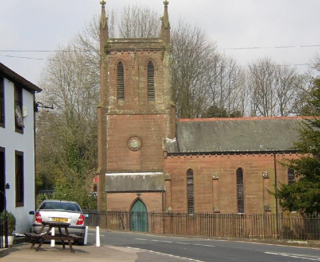
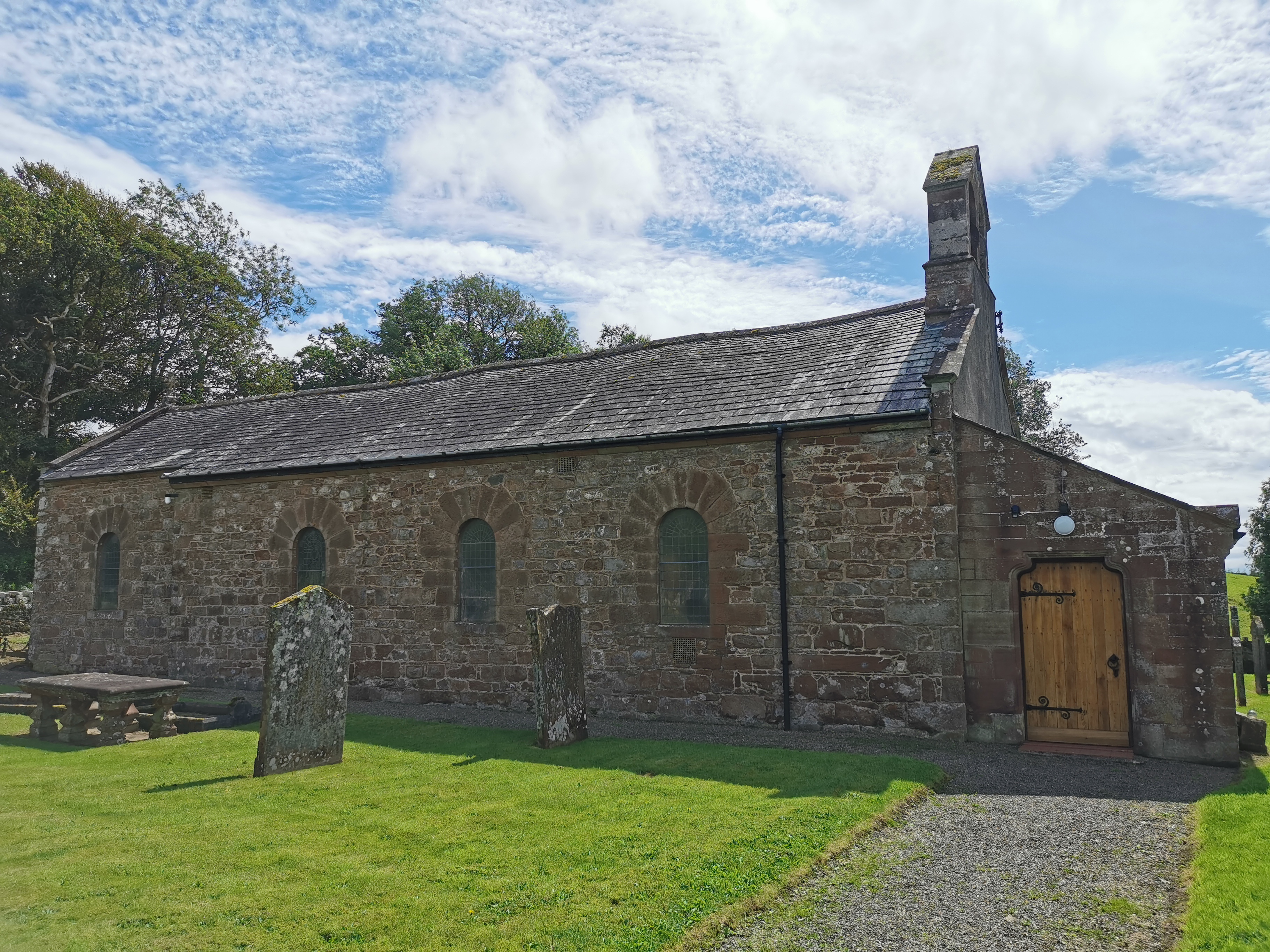
St Bridget's Church, Calder Bridge

St Bridget's Church is on the north side of the A595 road in the village of Calder Bridge, near Beckermet, Cumbria, England. It is an active Anglican parish...

Calder Bridge

Calder Bridge (also Calderbridge) is a small village in Cumbria in England. It is located between the hamlets of Gosforth and Beckermet and lies on the...

Blackbeck

Blackbeck is a small village in Cumbria, England. It is northeast of Beckermet and Sellafield, along the A595 road. It contains the Blackbeck Inn and Brow...

Ponsonby, Cumbria

Ponsonby is a village and civil parish in the Borough of Copeland of the county of Cumbria, England. Ponsonby has a church which was constructed in 1840...

Haile, Cumbria

Haile is a small village and civil parish in Copeland district, in the county of Cumbria, England. It had a population of 617 at the 2011 Census.Nearby...

St John, Beckermet

St John, Beckermet, is in Beckermet, Cumbria, England. It is an Anglican parish church in the deanery of Calder, and the diocese of Carlisle. Its benefice...

Haile Parish Church

Haile Parish Church is near Haile, Cumbria, England. It is an active Anglican parish church in the deanery of Calder, and the diocese of Carlisle. Its...

Nearby Amenities

Located within 500m of 54.445,-3.473
Barrier: stile
Lat/Long: 54.4456099/-3.4654772
Barrier: stile
Lat/Long: 54.4447565/-3.4662562
Power: pole
Lat/Long: 54.4415704/-3.4733507
Power: pole
Lat/Long: 54.4423471/-3.4733051
Power: pole
Lat/Long: 54.4434312/-3.4732997
Power: pole
Lat/Long: 54.4448567/-3.47323
Power: pole
Lat/Long: 54.4454151/-3.47323
Power: pole
Lat/Long: 54.4462542/-3.4731656
Power: pole
Lat/Long: 54.4471088/-3.4731603
Power: pole
Lat/Long: 54.4478356/-3.4731254
Power: pole
Lat/Long: 54.4485701/-3.4730825
Power: pole
Lat/Long: 54.4492719/-3.473061
Power: pole
Lat/Long: 54.4469866/-3.467333
Power: pole
Lat/Long: 54.447802/-3.4675769
The data included in this document is from www.openstreetmap.org. The data is made available under ODbL.

Have you been to Calder Abbey?

Leave your review of Calder Abbey below (or comments, questions and feedback).