Church Hill Wood
Wood, Forest in Cumberland Copeland
England
Church Hill Wood
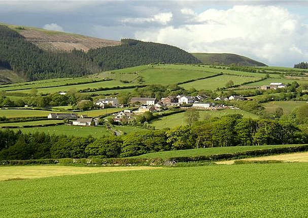
Church Hill Wood is a picturesque woodland located in Cumberland, England. Spanning over a vast area, this captivating forest is a popular destination for nature enthusiasts and those seeking tranquility amidst the beauty of the great outdoors.
The wood is named after the nearby Church Hill, which offers stunning panoramic views of the surrounding landscape. The forest is characterized by its dense canopy of mature trees, primarily consisting of oak, beech, and ash. These towering giants create a cool and shaded environment, perfect for leisurely walks or picnics on warm summer days.
Church Hill Wood is home to a diverse range of wildlife, providing a haven for numerous species. Visitors may have the opportunity to spot various birds, including woodpeckers, owls, and thrushes, as well as small mammals such as squirrels and rabbits. The forest floor is adorned with a rich carpet of moss, ferns, and wildflowers, adding to the enchanting atmosphere.
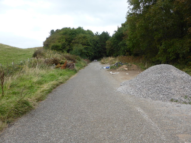
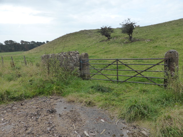
Numerous winding paths and trails crisscross the wood, allowing visitors to explore its hidden treasures at their own pace. These well-maintained trails are suitable for walkers of all abilities and are often used by local residents for recreational activities such as jogging or dog walking.
Church Hill Wood offers a peaceful escape from the hustle and bustle of everyday life, allowing visitors to reconnect with nature and enjoy its serene beauty. Whether it is a leisurely stroll, a family outing, or a bird-watching expedition, this woodland provides a truly unforgettable experience for all who venture within its borders.
If you have any feedback on the listing, please let us know in the comments section below.
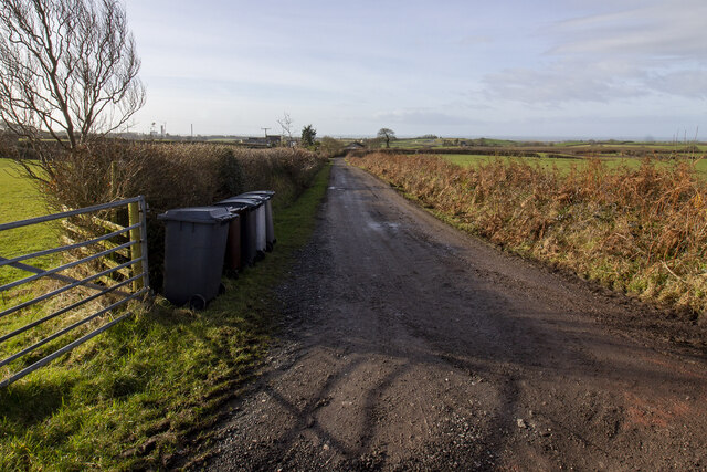
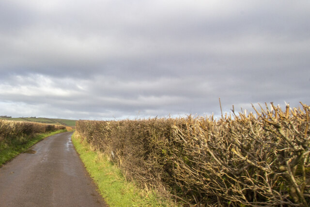
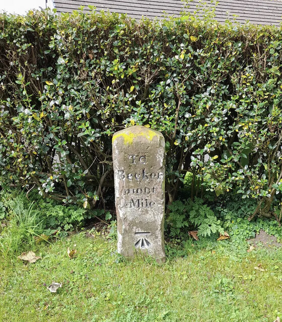
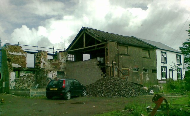
Church Hill Wood Images
Images are sourced within 2km of 54.465776/-3.4966226 or Grid Reference NY0308. Thanks to Geograph Open Source API. All images are credited.


Church Hill Wood is located at Grid Ref: NY0308 (Lat: 54.465776, Lng: -3.4966226)
Administrative County: Cumbria
District: Copeland
Police Authority: Cumbria
What 3 Words
///adopting.volume.adopters. Near Egremont, Cumbria
Nearby Locations
Related Wikis
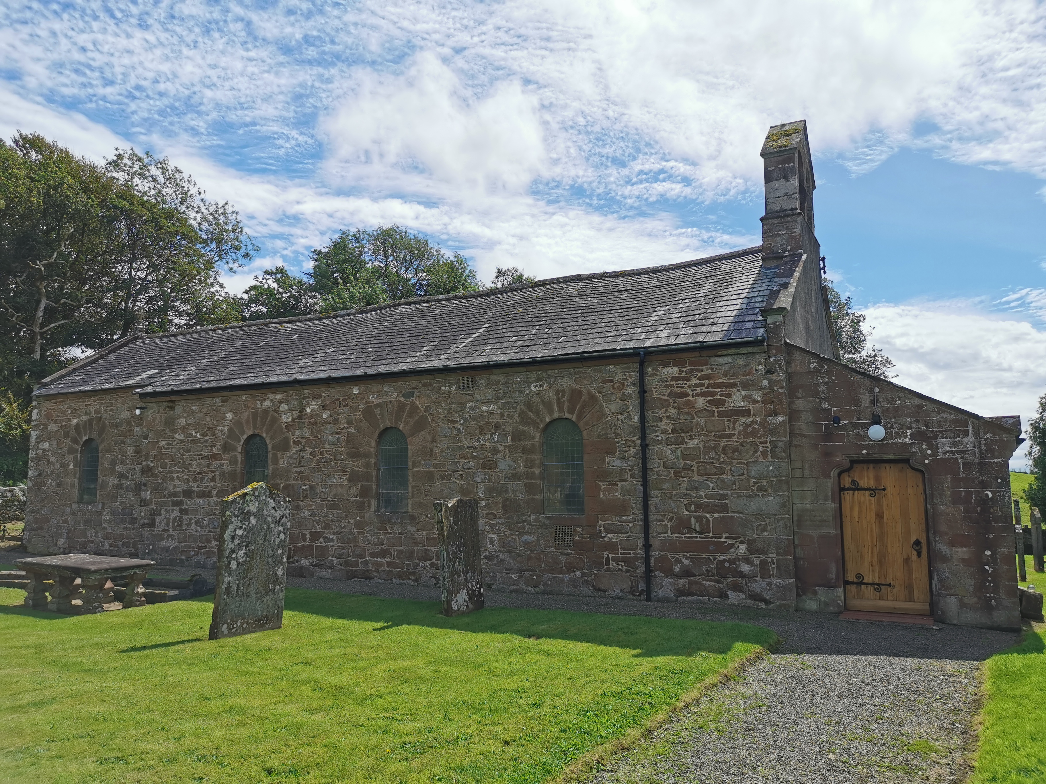
Haile Parish Church
Haile Parish Church is near Haile, Cumbria, England. It is an active Anglican parish church in the deanery of Calder, and the diocese of Carlisle. Its...

Haile, Cumbria
Haile is a small village and civil parish in Copeland district, in the county of Cumbria, England. It had a population of 617 at the 2011 Census.Nearby...

Beckermet Mines railway station
Beckermet Mines railway station was situated at Pit No.1 of the mine of the same name. It was used by workmen's trains which travelled along a branch which...
Thornhill, Cumbria
Thornhill is a village in the county of Cumbria, England, south of Whitehaven and north of Seascale, close to St. Bees, and only a few miles from the Irish...
St Thomas Cross Platform railway station
St Thomas Cross Platform was a railway station used by workmen's trains on the Moor Row to Sellafield line on what is now the southeastern, Cringlethwaite...
Blackbeck
Blackbeck is a small village in Cumbria, England. It is northeast of Beckermet and Sellafield, along the A595 road. It contains the Blackbeck Inn and Brow...
Wilton, Cumbria
Wilton is a hamlet in the Copeland district, in the county of Cumbria, England. It is near the small town of Egremont. In 1870-72 it had a population of...

St John, Beckermet
St John, Beckermet, is in Beckermet, Cumbria, England. It is an Anglican parish church in the deanery of Calder, and the diocese of Carlisle. Its benefice...
Nearby Amenities
Located within 500m of 54.465776,-3.4966226Have you been to Church Hill Wood?
Leave your review of Church Hill Wood below (or comments, questions and feedback).