Clawdd-llesg
Settlement in Montgomeryshire
Wales
Clawdd-llesg
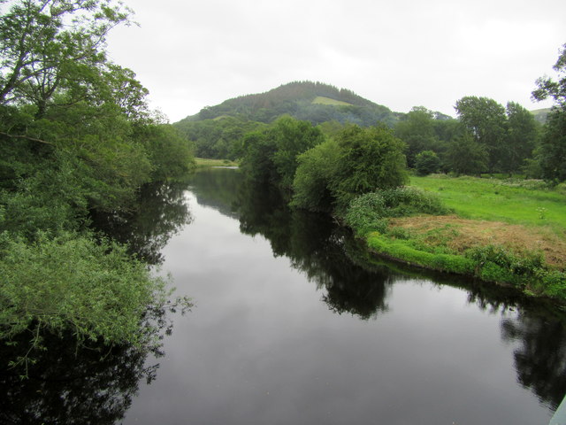
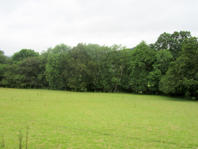
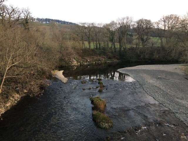
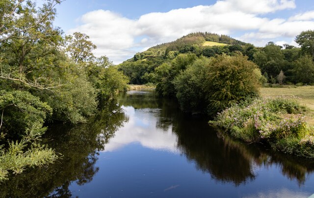
Clawdd-llesg is a small village located in Montgomeryshire, Wales. Situated in the beautiful countryside, it is surrounded by rolling hills and lush green landscapes. The village is nestled in the valley of the River Banwy, offering picturesque views and a peaceful atmosphere.
The history of Clawdd-llesg can be traced back to ancient times, with evidence of early settlements in the area. The village's name is derived from the Welsh language, where "clawdd" means a ditch or dyke, and "llesg" refers to a place with a marshy or wetland character.
The community of Clawdd-llesg is small but close-knit, with a population of around 300 residents. The village is primarily residential, with a mix of old stone cottages and more modern houses. Agriculture plays a significant role in the local economy, with many residents involved in farming activities.
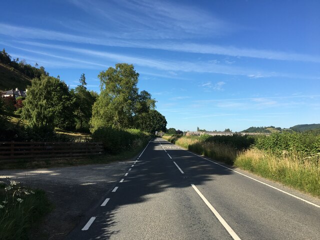
Despite its small size, Clawdd-llesg offers a range of amenities to its residents. These include a village hall, a primary school, and a local pub where villagers can socialize and unwind. The village is also well-connected to nearby towns and cities, with good transportation links.
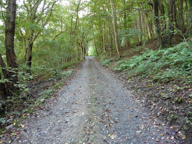
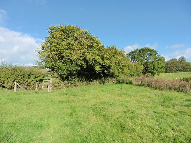
The natural beauty surrounding Clawdd-llesg makes it an ideal destination for outdoor enthusiasts. There are plenty of opportunities for walking, hiking, and exploring the countryside. The nearby River Banwy provides a scenic spot for fishing and canoeing.
Overall, Clawdd-llesg is a charming village with a rich history and stunning natural surroundings. It offers a tranquil and welcoming environment for both residents and visitors alike.
If you have any feedback on the listing, please let us know in the comments section below.
Clawdd-llesg Images
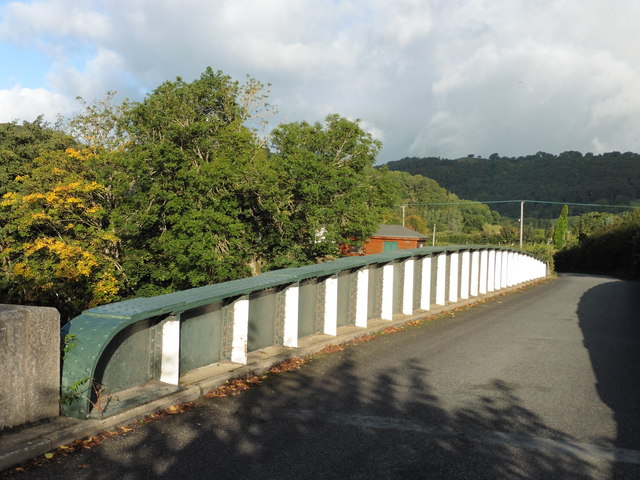
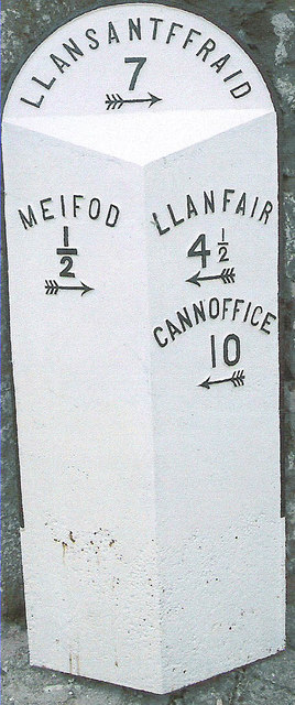
Images are sourced within 2km of 52.692723/-3.245066 or Grid Reference SJ1511. Thanks to Geograph Open Source API. All images are credited.


Clawdd-llesg is located at Grid Ref: SJ1511 (Lat: 52.692723, Lng: -3.245066)
Unitary Authority: Powys
Police Authority: Dyfed Powys
What 3 Words
///upcoming.sedative.fewer. Near Guilsfield, Powys
Nearby Locations
Related Wikis
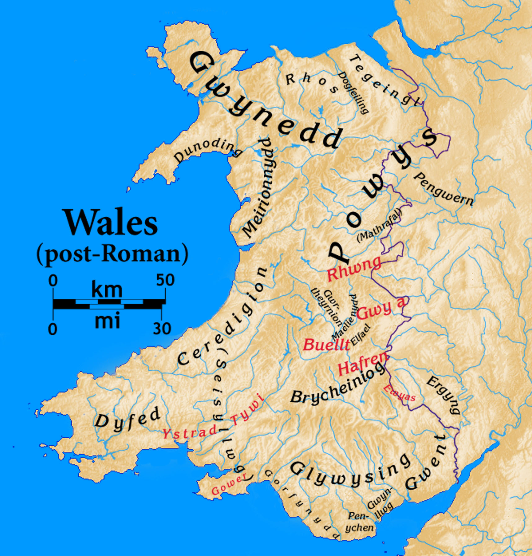
Dogfeiling
Dogfeiling was a minor sub-kingdom and later a commote in north Wales. It formed part of the eastern border of the Kingdom of Gwynedd in early medieval...

River Banwy
The River Banwy is a river about 19 miles (31 km) long in Powys, Wales. It is a tributary of the River Vyrnwy. The Banwy rises in the hills near the pass...

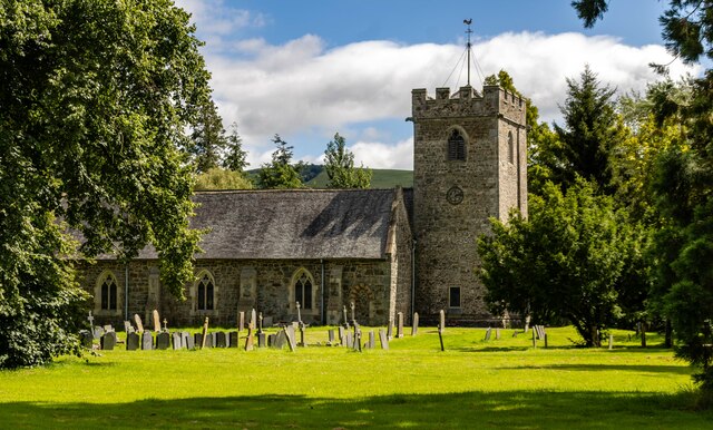
Meifod
Meifod, formerly also written Meivod (), is a small village, community and electoral ward 7 miles north-west of Welshpool in Montgomeryshire, Powys, Wales...

Mathrafal
Mathrafal near Welshpool, in Powys, Mid Wales, was the seat of the Kings and Princes of Powys probably from the 9th century until its destruction in 1213...
Nearby Amenities
Located within 500m of 52.692723,-3.245066Have you been to Clawdd-llesg?
Leave your review of Clawdd-llesg below (or comments, questions and feedback).