Blackhow Wood
Wood, Forest in Cumberland Copeland
England
Blackhow Wood

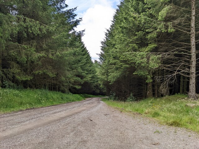
Blackhow Wood is a picturesque forest located in Cumberland, England. Covering an area of approximately 100 acres, it is known for its dense and enchanting woodland landscape. The wood is characterized by a diverse range of tree species, including oak, ash, birch, and beech, creating a rich and vibrant ecosystem.
The forest is home to a wide array of wildlife, making it a popular destination for nature enthusiasts and birdwatchers. Visitors may have the opportunity to spot various bird species such as woodpeckers, owls, and songbirds, as well as mammals like deer, foxes, and badgers. The tranquil atmosphere and abundance of flora and fauna provide an ideal setting for outdoor activities like hiking and nature walks.
Blackhow Wood offers a network of well-maintained trails, allowing visitors to explore its beauty at their own pace. Along these paths, individuals can observe the changing seasons and experience the stunning displays of autumn foliage or the vibrant colors of spring flowers. Additionally, the wood features a small stream that adds to its charm and provides a peaceful backdrop for picnics or moments of relaxation.
Managed by local conservation authorities, Blackhow Wood is committed to preserving its natural heritage. Regular maintenance and conservation efforts ensure the sustainable management of the forest, allowing future generations to enjoy its beauty and ecological significance. With its serene ambiance and captivating scenery, Blackhow Wood is a cherished destination for both locals and tourists alike, offering a genuine connection with nature in the heart of Cumberland.
If you have any feedback on the listing, please let us know in the comments section below.
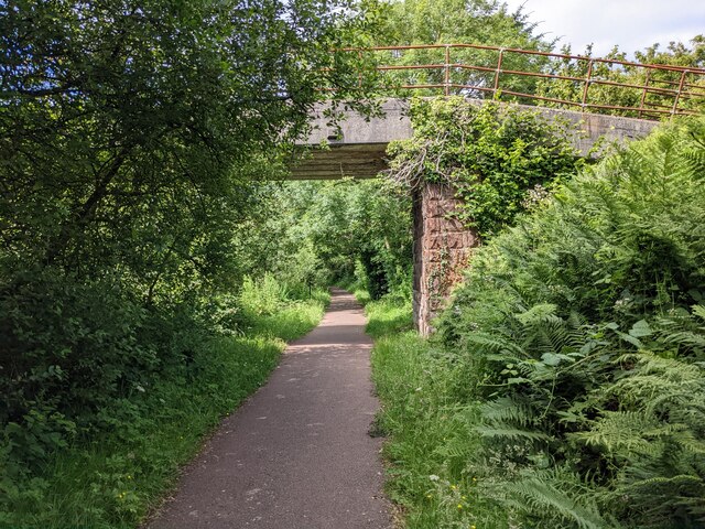
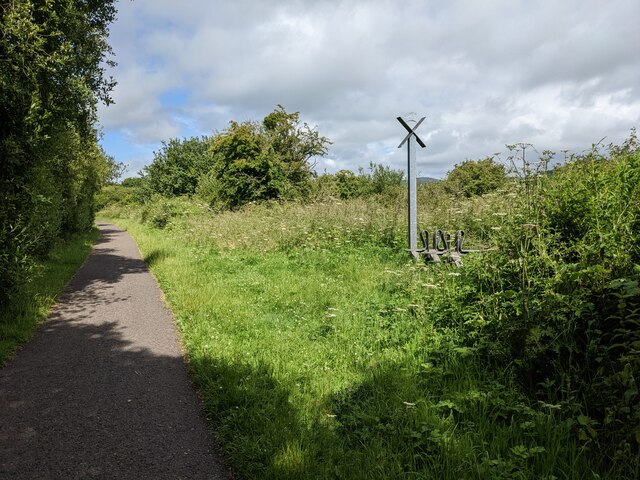
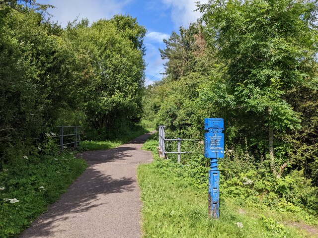
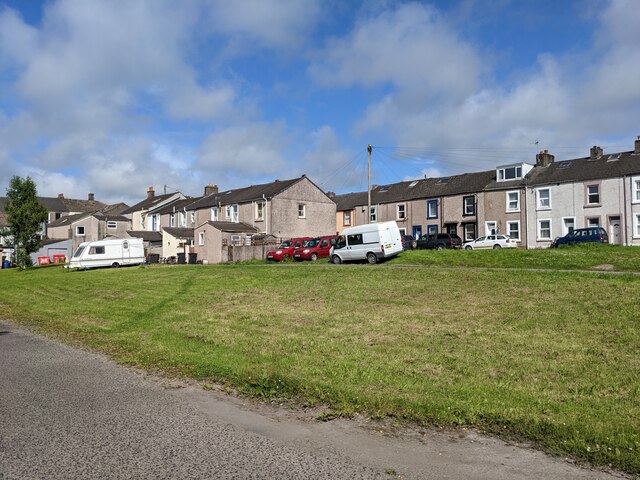
Blackhow Wood Images
Images are sourced within 2km of 54.505853/-3.5046051 or Grid Reference NY0213. Thanks to Geograph Open Source API. All images are credited.


Blackhow Wood is located at Grid Ref: NY0213 (Lat: 54.505853, Lng: -3.5046051)
Administrative County: Cumbria
District: Copeland
Police Authority: Cumbria
What 3 Words
///matchbox.buildings.systems. Near Cleator Moor, Cumbria
Nearby Locations
Related Wikis

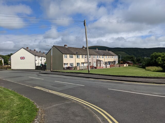
Cleator
Cleator is a village in the English county of Cumbria and within the boundaries of the historic county of Cumberland. Cleator is located on the edge...
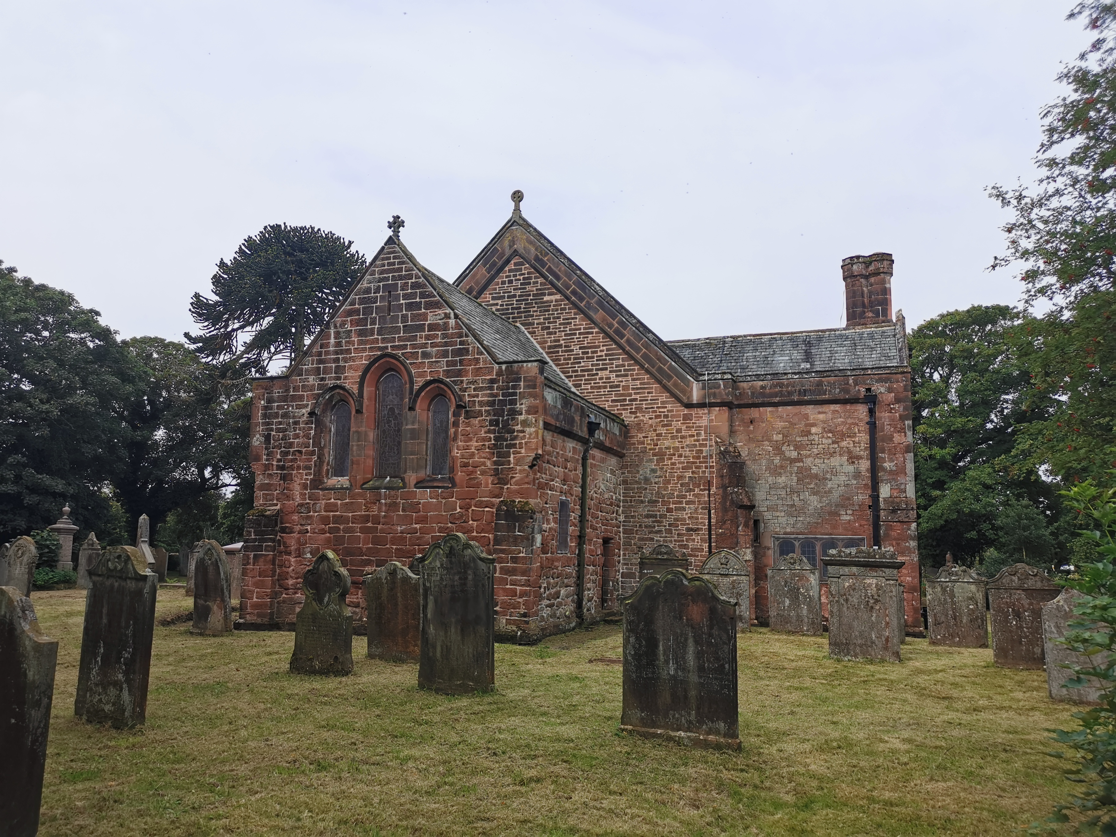
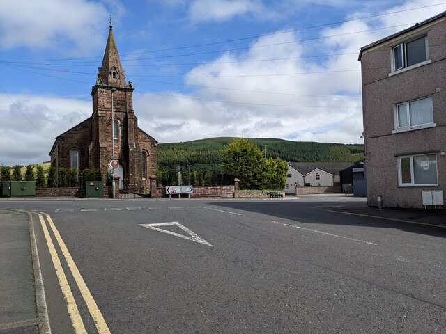
St Leonard, Cleator
St Leonard is a church in Cleator, Cumbria, England. It is an active Anglican parish church in the deanery of Calder, and the diocese of Carlisle. Its...
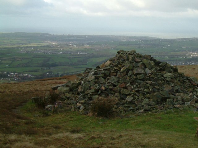
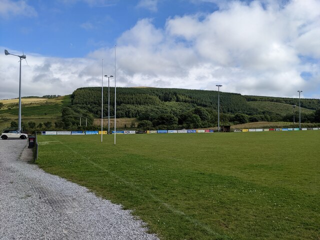
Dent (fell)
Dent is a small fell on the fringe of the English Lake District near the towns of Cleator Moor and Egremont. Sometimes known as Long Barrow, it is traditionally...

River Keekle
The River Keekle is a river running through the English county of Cumbria. The source of the Keekle is to be found at Keekle Head Farm on High Park between...
Nearby Amenities
Located within 500m of 54.505853,-3.5046051Have you been to Blackhow Wood?
Leave your review of Blackhow Wood below (or comments, questions and feedback).