Cleator Moor
Civil Parish in Cumberland Copeland
England
Cleator Moor

Cleator Moor is a civil parish located in the county of Cumberland, in the northwest of England. It is situated in the beautiful Lake District National Park, known for its stunning landscapes and outdoor recreational opportunities. Cleator Moor is a small town with a population of approximately 7,500 residents.
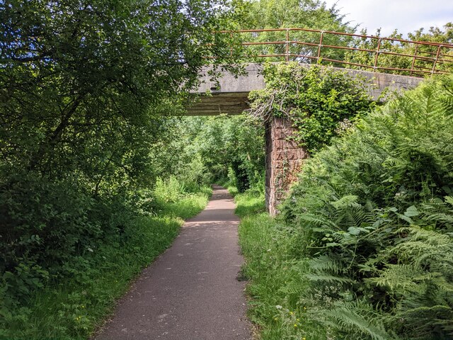
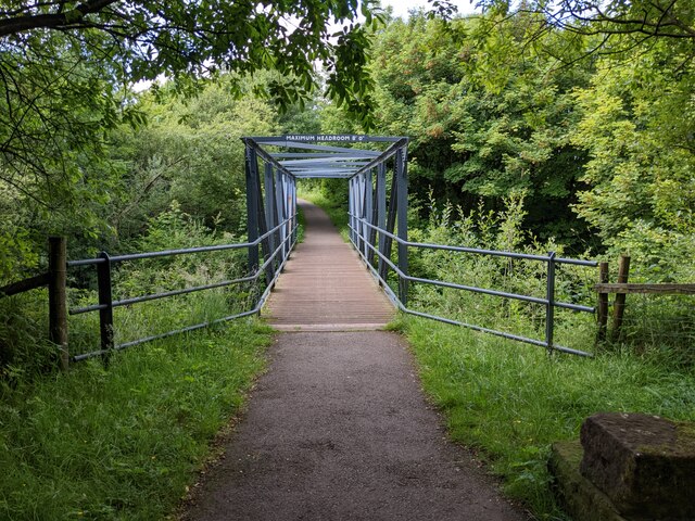
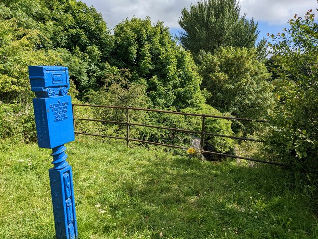
The town has a rich industrial history, particularly in the iron and steel industries. It was a major mining center in the 19th and early 20th centuries, with several mines in operation. The legacy of this industrial past can still be seen in some of the town's architecture and historic landmarks.
Today, Cleator Moor has evolved into a vibrant community with a mix of residential, commercial, and recreational facilities. The town center offers a range of amenities, including shops, cafes, and pubs. It also has a leisure center with swimming pools and sports facilities, providing opportunities for residents to stay active.
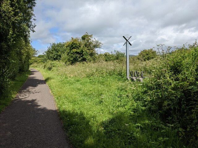
The surrounding countryside provides ample opportunities for outdoor activities, such as hiking, cycling, and fishing. The nearby Lake District National Park offers breathtaking scenery and is a popular destination for tourists and nature enthusiasts.
Cleator Moor is well-connected to other towns and cities in the region, with good transport links by road and rail. It is located close to the A595 road, which provides access to major cities like Carlisle and Whitehaven.
In summary, Cleator Moor is a picturesque town in the heart of the Lake District National Park, with a rich industrial history and a strong sense of community. It offers a range of amenities and recreational opportunities, making it an attractive place to live or visit.
If you have any feedback on the listing, please let us know in the comments section below.
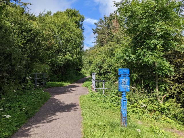
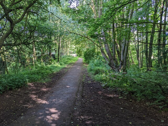
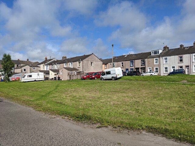
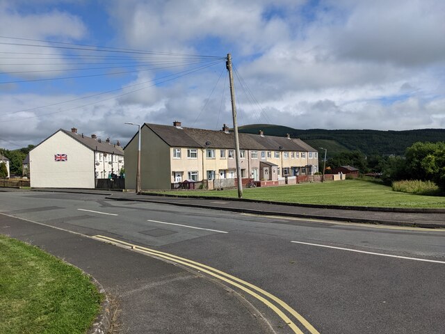
Cleator Moor Images
Images are sourced within 2km of 54.507268/-3.507792 or Grid Reference NY0213. Thanks to Geograph Open Source API. All images are credited.


Cleator Moor is located at Grid Ref: NY0213 (Lat: 54.507268, Lng: -3.507792)
Administrative County: Cumbria
District: Copeland
Police Authority: Cumbria
What 3 Words
///upcoming.instilled.skins. Near Cleator Moor, Cumbria
Nearby Locations
Related Wikis

Cleator
Cleator is a village in the English county of Cumbria and within the boundaries of the historic county of Cumberland. Cleator is located on the edge...
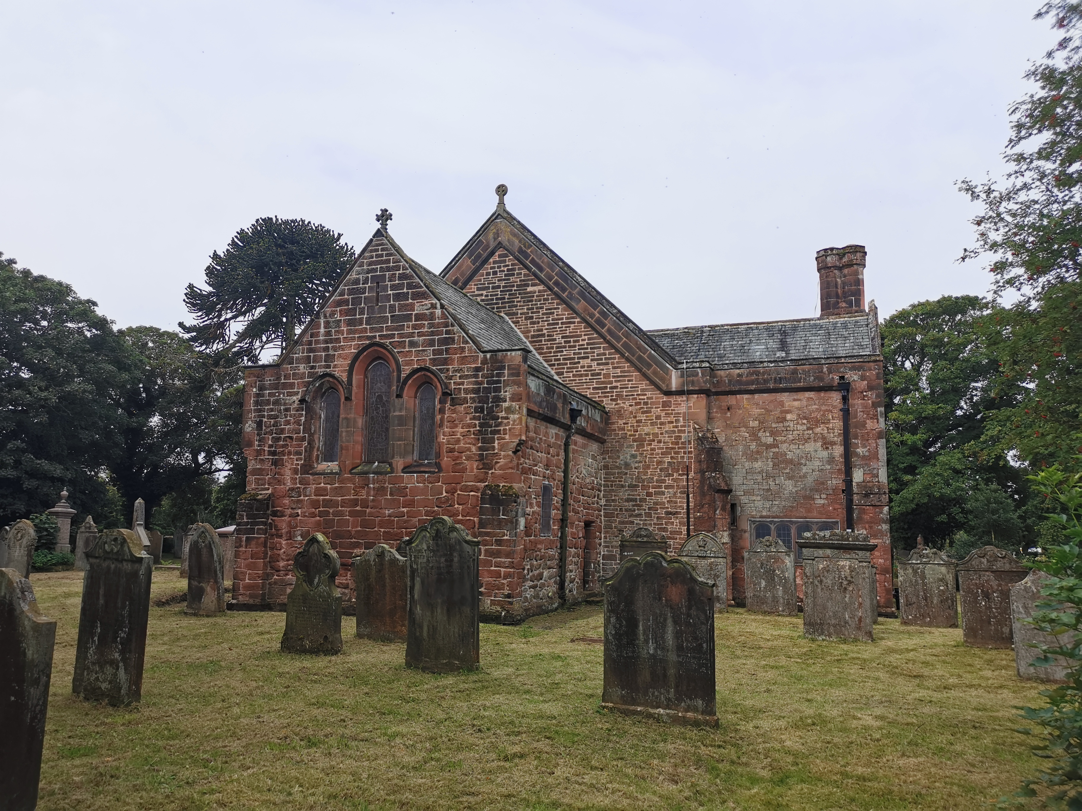
St Leonard, Cleator
St Leonard is a church in Cleator, Cumbria, England. It is an active Anglican parish church in the deanery of Calder, and the diocese of Carlisle. Its...

River Keekle
The River Keekle is a river running through the English county of Cumbria. The source of the Keekle is to be found at Keekle Head Farm on High Park between...

Cleator Moor
Cleator Moor is a town and civil parish in Cumbria, England, within the historic county of Cumberland. It had a population of 6,936 at the 2011 census...

Woodend railway station
Woodend railway station (formally known as "Woodend for Cleator and Bigrigg") was planned by the Whitehaven, Cleator and Egremont Railway on its Sellafield...

Woodend, Egremont
Woodend is a village near Egremont, Cumbria, England. The village had a station on the Whitehaven, Cleator and Egremont Railway but it closed in 1947....
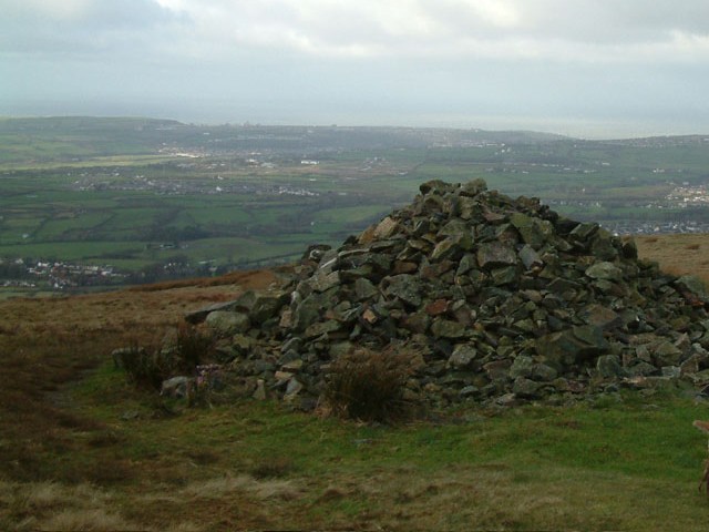
Dent (fell)
Dent is a small fell on the fringe of the English Lake District near the towns of Cleator Moor and Egremont. Sometimes known as Long Barrow, it is traditionally...
Cleator Moor Celtic F.C.
Cleator Moor Celtic Football Club is a football club based in Cleator Moor, Cumbria, England. The club are currently members of the West Lancashire League...
Related Videos

Wainwright's Coast to Coast - Day 1 of 12 - St Bees to Cleator - Amazing first day
Wainwright's Coast to Coast - Day 1 of 12 - St Bees to Cleator. The coast to coast is a 192-mile long-distance footpath in Northern ...


Longlands Lake || Sreepriya || #music #ukmallu#england#travel
Hi everyone, a small video for the first time. Wait for more videos.
Nearby Amenities
Located within 500m of 54.507268,-3.507792Have you been to Cleator Moor?
Leave your review of Cleator Moor below (or comments, questions and feedback).