Higher Plantation

Wood, Forest in Devon Mid Devon

England

Higher Plantation

Hockworthy: Slantycombe Farm Seen from Morrell’s Lane. Looking east-south-east
Hockworthy: Slantycombe Farm Credit: Martin Bodman

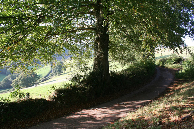
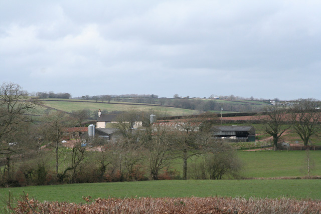
Higher Plantation is a picturesque woodland located in the county of Devon, England. Situated in the heart of the beautiful countryside, it covers an area of approximately 500 acres, making it a significant natural asset to the region. The plantation is predominantly composed of native broadleaf trees, including oak, beech, and birch, which create a rich and diverse ecosystem.

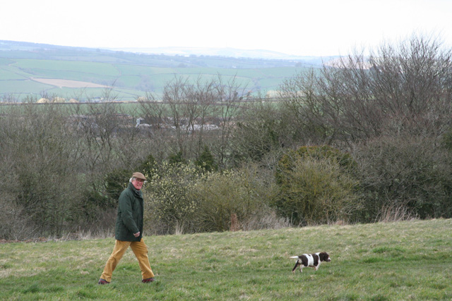
The woodland is renowned for its tranquil atmosphere and stunning natural beauty, attracting nature enthusiasts, hikers, and families seeking a peaceful retreat. Its well-maintained footpaths and trails provide visitors with ample opportunities to explore the area and immerse themselves in the peaceful surroundings.

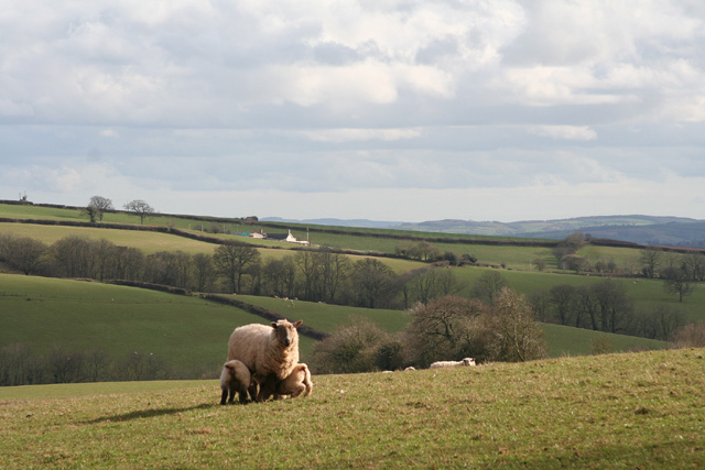
Higher Plantation is also home to a variety of wildlife, from small mammals like squirrels and rabbits to a range of bird species, including woodpeckers and owls. This makes it an ideal spot for birdwatching and wildlife photography.

The management of Higher Plantation is committed to preserving its natural heritage and maintaining its ecological balance. Efforts have been made to promote sustainable practices, such as selective logging and replanting of trees, to ensure the long-term health and vitality of the woodland.

In addition to its natural appeal, Higher Plantation offers educational programs and guided tours, providing visitors with the opportunity to learn about the local flora and fauna. It also hosts community events and workshops throughout the year, further engaging the local population and fostering a sense of appreciation for the natural environment.

Overall, Higher Plantation offers a serene and enriching experience for nature lovers, providing a haven of tranquility amidst the beauty of Devon's countryside.

If you have any feedback on the listing, please let us know in the comments section below.

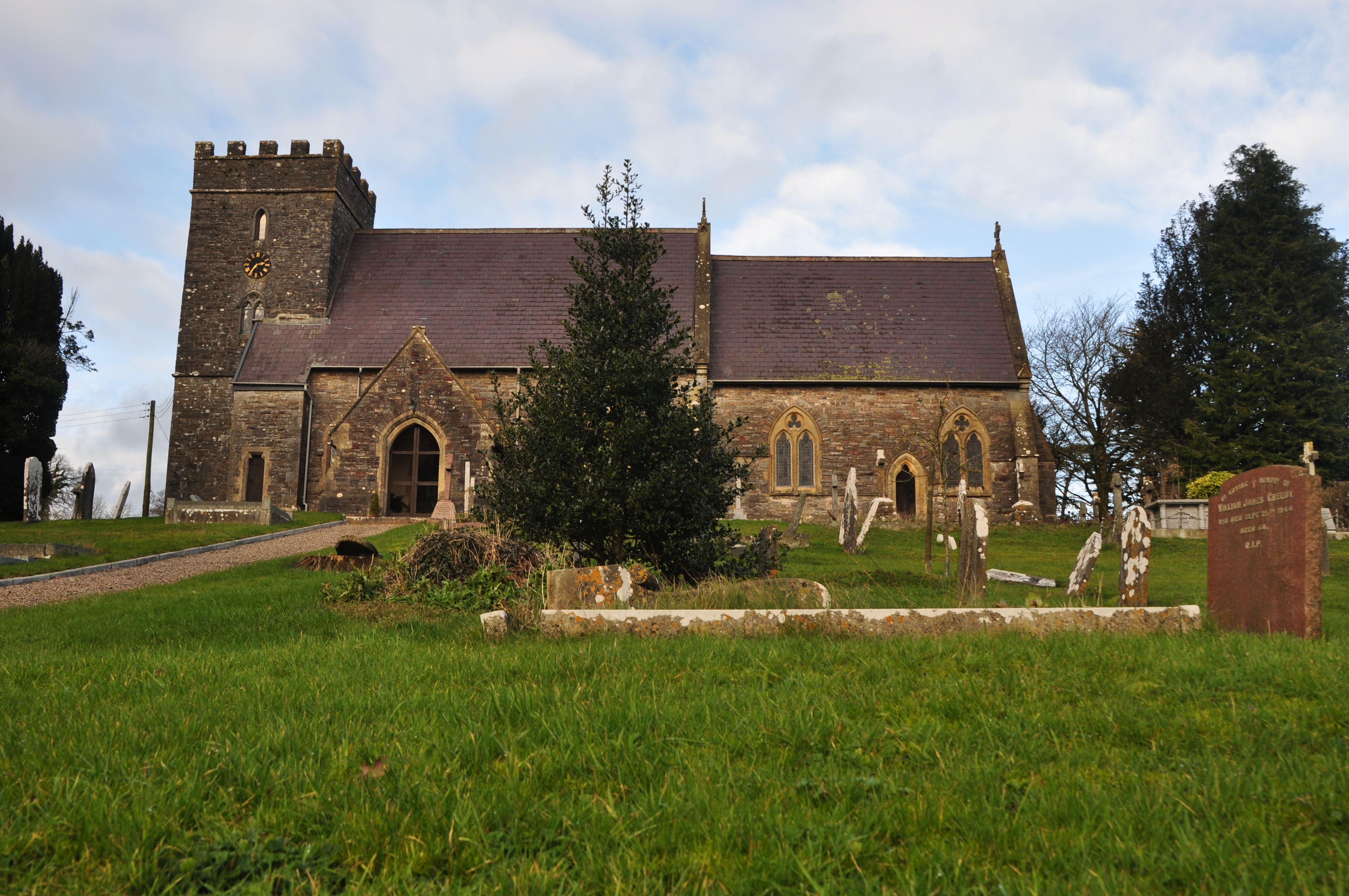
Higher Plantation Images

Images are sourced within 2km of 50.95224/-3.3946367 or Grid Reference ST0217. Thanks to Geograph Open Source API. All images are credited.

Hockworthy: Slantycombe Farm Seen from Morrell’s Lane. Looking east-south-east
Hockworthy: Slantycombe Farm
Seen from Morrell’s Lane. Looking east-south-east
Hockworthy: the Lowman valley near Wood End Here Hockworthy borders with Uplowman and Huntsham parishes
Hockworthy: the Lowman valley near Wood End
Here Hockworthy borders with Uplowman and Huntsham parishes
Hockworthy: lane in the Lowman valley The Lowman - running in the ditch by the hedge - defines the parish boundary with Uplowman
Hockworthy: lane in the Lowman valley
The Lowman - running in the ditch by the hedge - defines the parish boundary with Uplowman
Uplowman: the Lowman valley Seen from a lane just north of Beer Down Farm. A second lane threads the valley beyond the sheep
Uplowman: the Lowman valley
Seen from a lane just north of Beer Down Farm. A second lane threads the valley beyond the sheep
Holcombe Rogus: rolling a pasture Looking east
Holcombe Rogus: rolling a pasture
Looking east
Hockworthy: poultry farm at Tower Hill Looking north on the road near North Ridge
Hockworthy: poultry farm at Tower Hill
Looking north on the road near North Ridge
Hockworthy: on Chimney Down Walking the dog. Looking north west
Hockworthy: on Chimney Down
Walking the dog. Looking north west
Uplowman: near Fair Oak Looking south-south-west on the lane to Little Fair Oak. The valley beyond the second field carries a tributary of the Lowman
Uplowman: near Fair Oak
Looking south-south-west on the lane to Little Fair Oak. The valley beyond the second field carries a tributary of the Lowman
Uplowman: near Spalsbury Farm Looking south east with the Blackdowns in the distance
Uplowman: near Spalsbury Farm
Looking south east with the Blackdowns in the distance
Uplowman: Murley Looking south east to Murley farm with the Blackdowns in the distance
Uplowman: Murley
Looking south east to Murley farm with the Blackdowns in the distance
Uplowman: near Stoney Lane Cross Looking north east, above Lower Beer
Uplowman: near Stoney Lane Cross
Looking north east, above Lower Beer
Sampford Peverell: Whitnage Lane Exercising horses from nearby Newhill Farm
Sampford Peverell: Whitnage Lane
Exercising horses from nearby Newhill Farm
Sampford Peverell: Whitnage Lane By Newhill Farm, a recent establishment. Looking south-south-west down the track to Whitnage
Sampford Peverell: Whitnage Lane
By Newhill Farm, a recent establishment. Looking south-south-west down the track to Whitnage
Sampford Peverell: Great Ridge Farm Seen from near Butteridge Cross. Looking north-north-west
Sampford Peverell: Great Ridge Farm
Seen from near Butteridge Cross. Looking north-north-west
Holcombe Rogus: towards Westleigh Quarry Looking south east with the quarry, Burlescombe church tower and Culmstock Beacon all visible
Holcombe Rogus: towards Westleigh Quarry
Looking south east with the quarry, Burlescombe church tower and Culmstock Beacon all visible
Uplowman: Dare’s Down Spraying pasture on the down above Redwoods Farm. Looking east to the Blackdowns
Uplowman: Dare’s Down
Spraying pasture on the down above Redwoods Farm. Looking east to the Blackdowns
Hockworthy: Redgate Lane A track, rather than a lane, seen from Morrell’s Lane and looking east. The upper part of the track provides access to Redwoods Farm, out of shot to the left. The route to the farm runs by the open gate in the centre of the image
Hockworthy: Redgate Lane
A track, rather than a lane, seen from Morrell’s Lane and looking east. The upper part of the track provides access to Redwoods Farm, out of shot to the left. The route to the farm runs by the open gate in the centre of the image
Mid Devon : Country Road & Weak Bridge A bridge going over the River Lowman near Stagg Mill.
Mid Devon : Country Road & Weak Bridge
A bridge going over the River Lowman near Stagg Mill.
Show me another place!

Higher Plantation is located at Grid Ref: ST0217 (Lat: 50.95224, Lng: -3.3946367)

Administrative County: Devon

District: Mid Devon

Police Authority: Devon and Cornwall

What 3 Words

///mankind.silks.trespass. Near Sampford Peverell, Devon

Related Wikis

Uplowman

Uplowman () is a village and civil parish in the Mid Devon district, in Devon, England, situated about 4 miles north-east of the town of Tiverton. The...

Coombe, Mid Devon

Coombe is a settlement in the English county of Devon, situated some 5 miles (8.0 km) north-east of the town of Tiverton. == External links == grid reference...

Hockworthy

Hockworthy is a village and civil parish in Devon, England. Its name is Old English and means "Hocca's enclosure". It has a church dedicated to St. Simon...

Huntsham

Huntsham is a small village and civil parish, formerly a manor and ecclesiastical parish, in the Mid Devon district of Devon, England. The nearest town...

Have you been to Higher Plantation?

Leave your review of Higher Plantation below (or comments, questions and feedback).