Bystock Wood
Wood, Forest in Devon East Devon
England
Bystock Wood
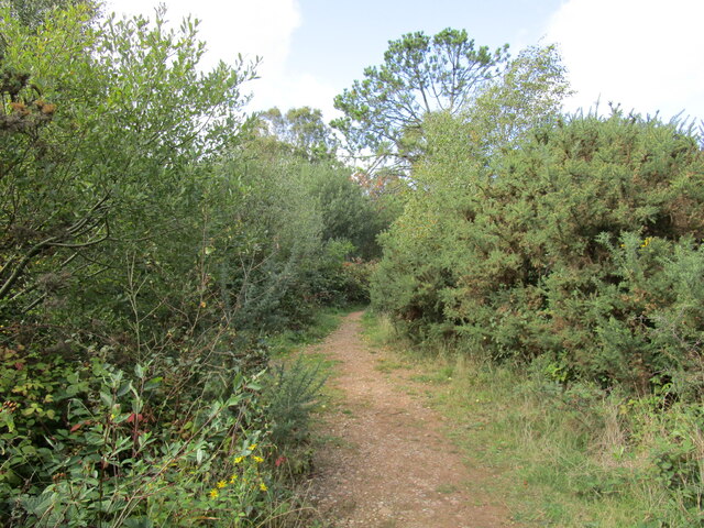
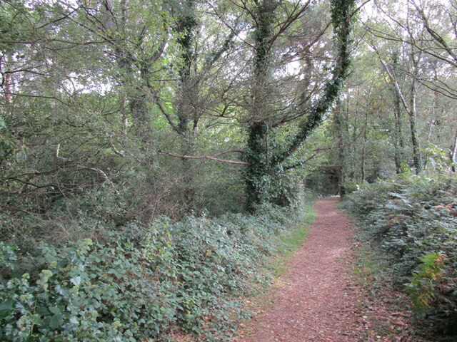
Bystock Wood is a picturesque woodland located in Devon, England. Covering an area of approximately 200 acres, it is a popular destination for nature enthusiasts and outdoor lovers. The wood is situated near the town of Exmouth, making it easily accessible for visitors from both nearby urban areas and further afield.
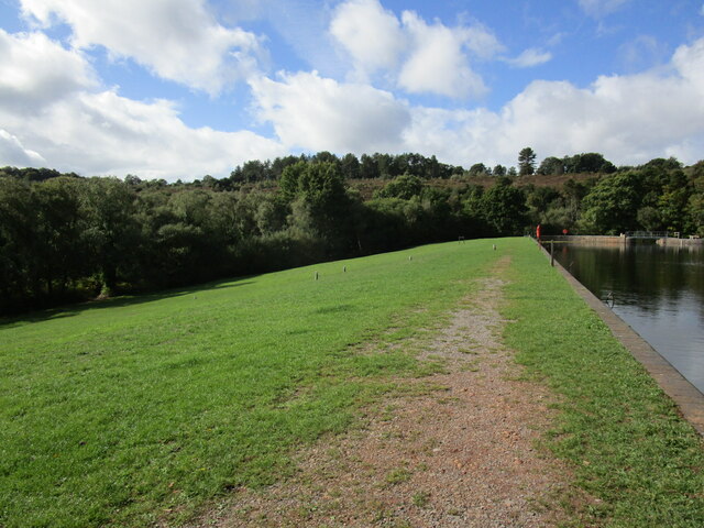
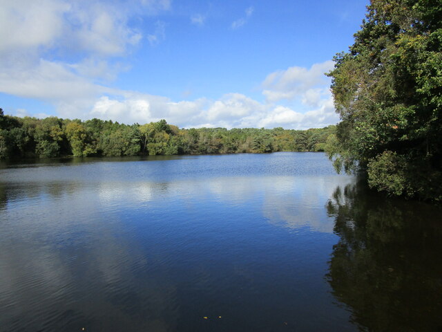
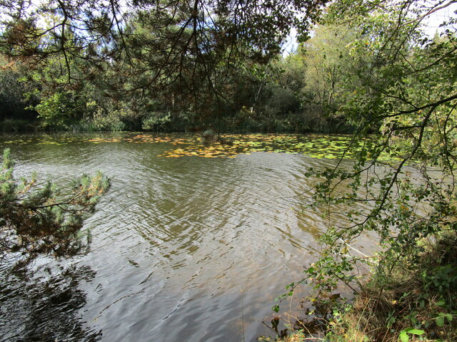
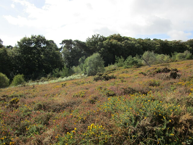
Bystock Wood is part of the East Devon Pebblebed Heaths, a designated Area of Outstanding Natural Beauty. The wood itself is a mix of ancient woodland and conifer plantations, providing a diverse habitat for a wide range of flora and fauna. It is home to a variety of tree species, including oak, beech, birch, and pine, creating a beautiful and tranquil environment.
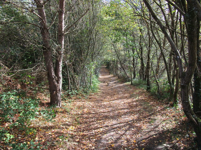
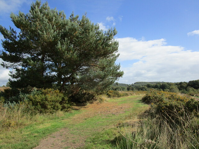
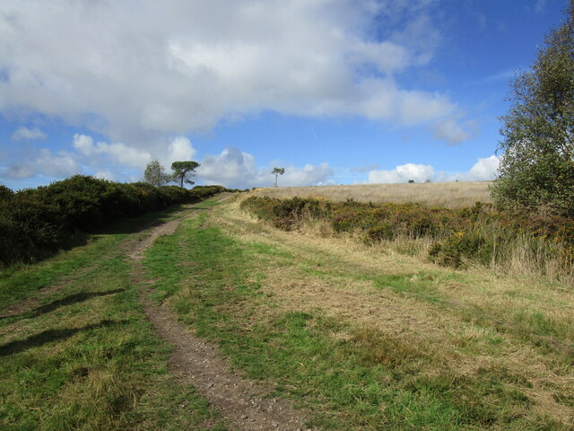
The wood offers numerous walking trails and paths, allowing visitors to explore its natural beauty. These paths cater to different levels of difficulty, making it suitable for all ages and abilities. Along the way, visitors may encounter various wildlife, such as deer, badgers, and a variety of bird species, including woodpeckers and tawny owls.
Bystock Wood is managed by the Forestry Commission, ensuring its preservation and maintenance. The commission also organizes educational events and activities to promote awareness and understanding of the woodland ecosystem. There are picnic areas and benches scattered throughout the wood, providing visitors with the opportunity to relax and enjoy the tranquil surroundings.
Overall, Bystock Wood offers a peaceful retreat from the hustle and bustle of daily life. Its diverse flora and fauna, well-maintained trails, and accessibility make it a perfect destination for nature lovers and those seeking solace in the natural world.
If you have any feedback on the listing, please let us know in the comments section below.
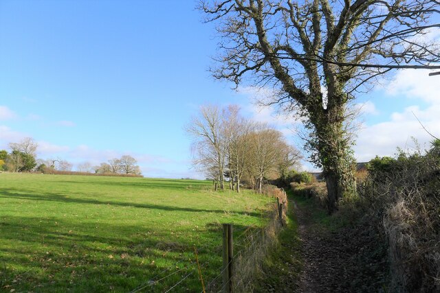
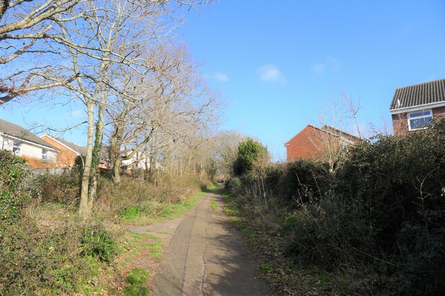
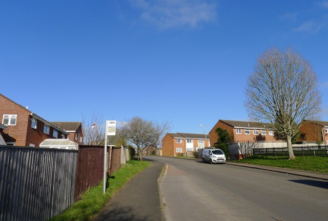
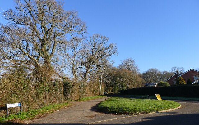
Bystock Wood Images
Images are sourced within 2km of 50.648128/-3.3857521 or Grid Reference SY0284. Thanks to Geograph Open Source API. All images are credited.


Bystock Wood is located at Grid Ref: SY0284 (Lat: 50.648128, Lng: -3.3857521)
Administrative County: Devon
District: East Devon
Police Authority: Devon and Cornwall
What 3 Words
///feeds.cracks.forced. Near Lympstone, Devon
Nearby Locations
Related Wikis

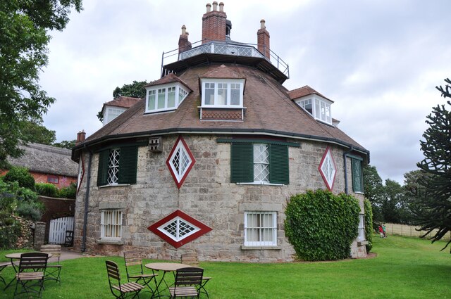
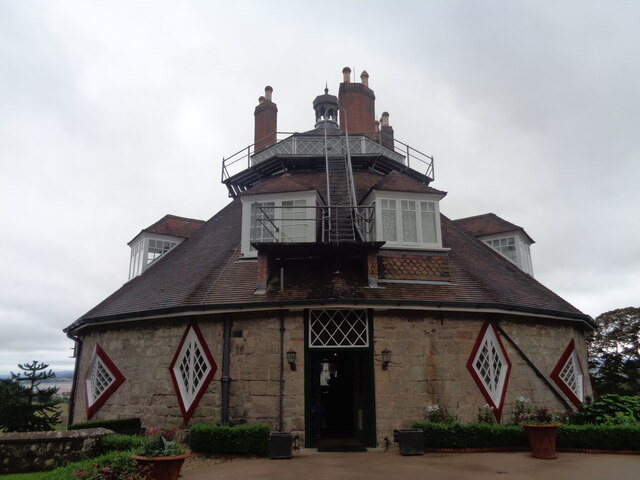
A la Ronde
A la Ronde is an 18th-century, 16-sided cottage orné near Lympstone, Exmouth, Devon, England in the ownership of the National Trust. The house was built...

East Devon Radio
DevonAir Radio is a community radio station, based in Exmouth, Devon, United Kingdom. The station was launched on 11 September 2006 as Bay FM Radio with...

Lympstone Manor, Exmouth
Lympstone Manor (formerly Courtlands House) in Exmouth, England, is a building of historical significance and is Grade II listed on the English Heritage...

Littleham railway station
Littleham railway station was a railway station that served Littleham, Exmouth, in Devon, England. == History == It was opened on 1 June 1903 by the London...
Nearby Amenities
Located within 500m of 50.648128,-3.3857521Have you been to Bystock Wood?
Leave your review of Bystock Wood below (or comments, questions and feedback).