Bower Wood
Wood, Forest in Somerset Somerset West and Taunton
England
Bower Wood
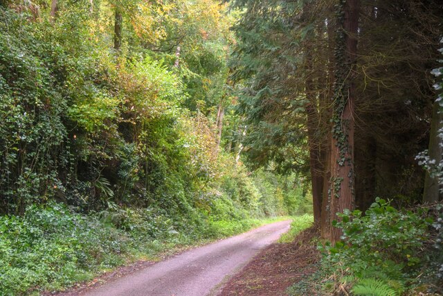
Bower Wood is a picturesque forest located in Somerset, England. It covers an area of approximately 500 acres and is situated near the village of Bower Hinton. The wood is part of the larger Ham Hill Country Park, which is known for its diverse wildlife and natural beauty.
Bower Wood is primarily composed of broadleaf trees, such as oak, beech, and ash, providing a rich and vibrant canopy throughout the year. The forest floor is covered with an array of flora, including bluebells, wild garlic, and ferns, creating a stunning carpet of colors during the spring and summer months.
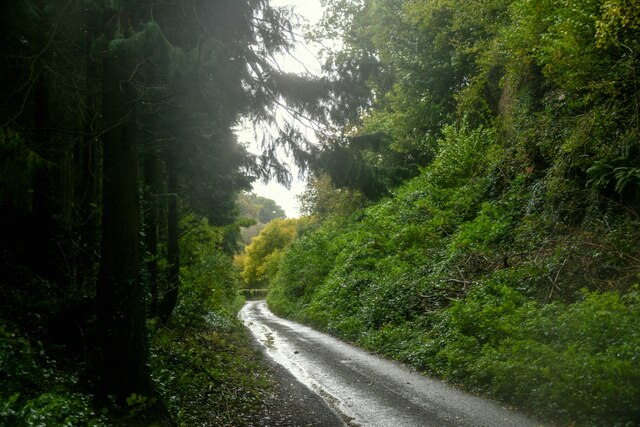
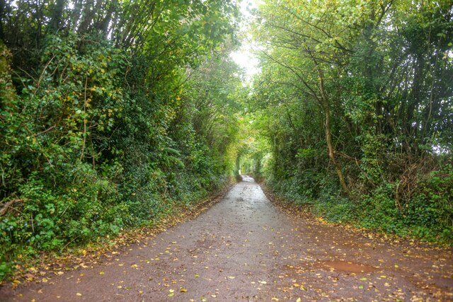
The wood is crisscrossed by a network of well-maintained footpaths, allowing visitors to explore its tranquil surroundings. These paths wind through the trees, providing opportunities for leisurely walks, nature trails, and birdwatching. The forest is home to a variety of bird species, including woodpeckers, owls, and songbirds, making it a haven for bird enthusiasts.
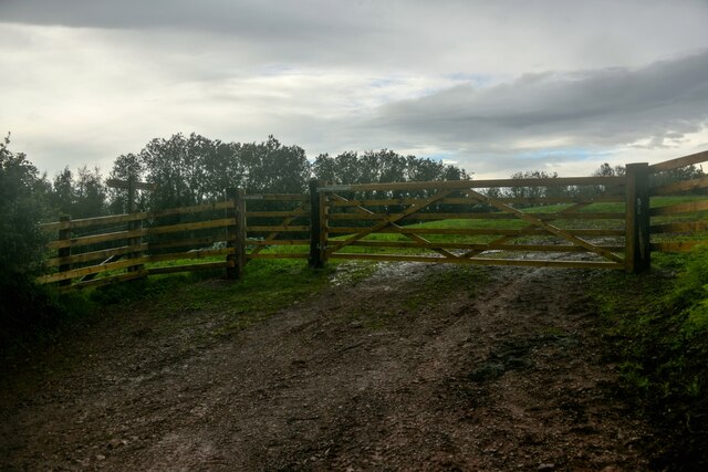
Bower Wood also has historical significance, as it is believed to have been managed as a woodland for centuries. It has provided a source of timber and fuel for local communities throughout its history. Today, the wood is managed by the Forestry Commission, which aims to preserve its natural beauty and enhance its ecological value.
Overall, Bower Wood offers a peaceful and idyllic escape from the hustle and bustle of everyday life. With its stunning scenery, diverse wildlife, and rich history, it is a must-visit destination for nature lovers and those seeking a respite in the heart of Somerset.
If you have any feedback on the listing, please let us know in the comments section below.
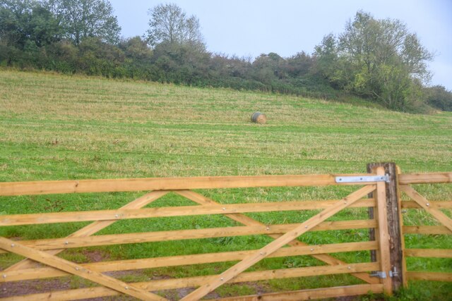
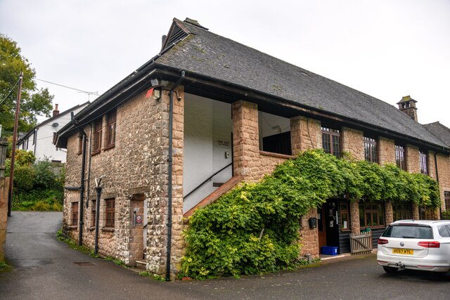
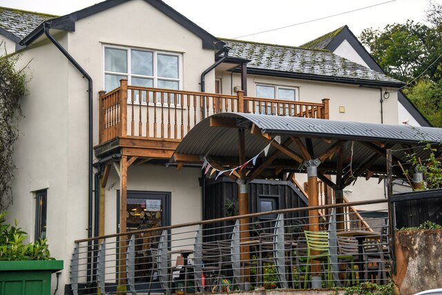
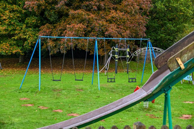
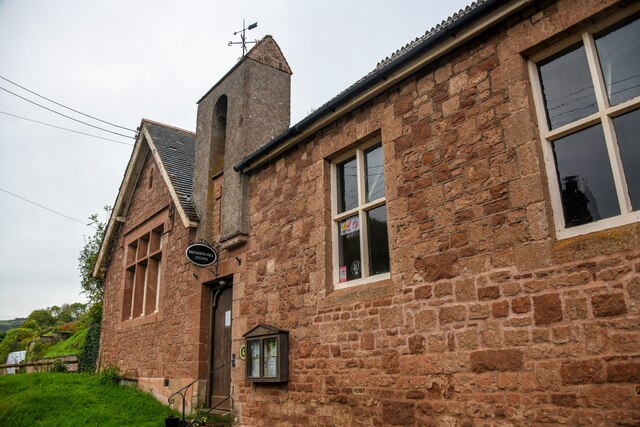
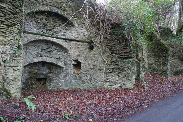
Bower Wood Images
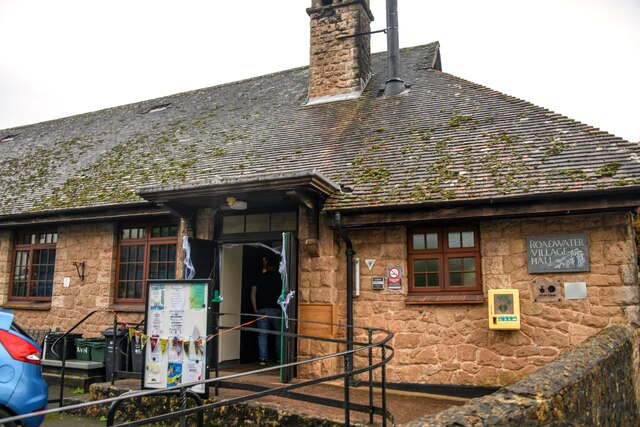
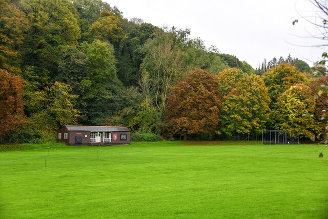
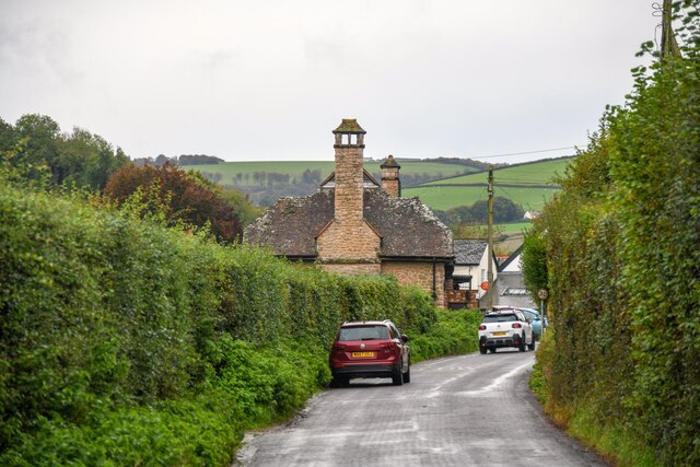
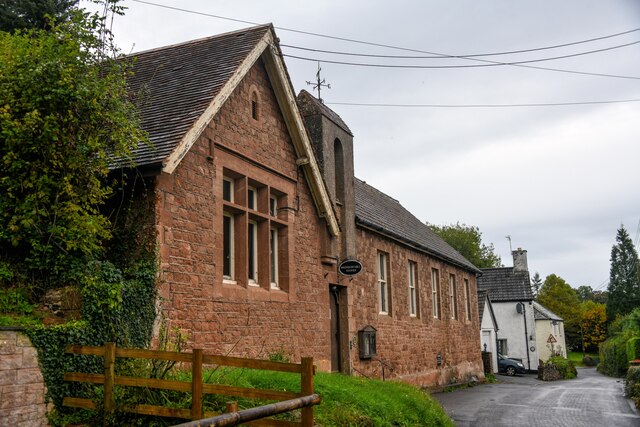
Images are sourced within 2km of 51.128092/-3.4022576 or Grid Reference ST0137. Thanks to Geograph Open Source API. All images are credited.


Bower Wood is located at Grid Ref: ST0137 (Lat: 51.128092, Lng: -3.4022576)
Administrative County: Somerset
District: Somerset West and Taunton
Police Authority: Avon and Somerset
What 3 Words
///visual.grunt.budget. Near Williton, Somerset
Nearby Locations
Related Wikis

St Peter's Church, Treborough
The Anglican St Peter's Church at Treborough within the English county of Somerset dates from the 14th century. It is a Grade II* listed building. Although...
Treborough
Treborough is a small village and civil parish 7 miles (11 km) south of Dunster, lying amongst the Brendon Hills within the Exmoor National Park in the...

Church of St Peter, Williton
The Anglican Church of St Peter in Williton in the English county of Somerset is recorded in the National Heritage List for England as a designated Grade...

Roadwater railway station
The Roadwater railway station was an intermediate station on the West Somerset Mineral Railway (WSMR), which was built primarily to carry iron ore from...
Have you been to Bower Wood?
Leave your review of Bower Wood below (or comments, questions and feedback).