Cleeve Copse
Wood, Forest in Somerset Somerset West and Taunton
England
Cleeve Copse
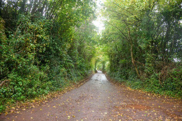
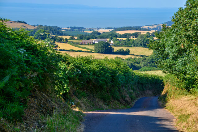
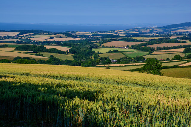
Cleeve Copse, located in Somerset, England, is a picturesque woodland area known for its natural beauty and diverse wildlife. Covering an area of approximately 20 hectares, this ancient woodland is situated on the slopes of the Mendip Hills, offering breathtaking views of the surrounding countryside.
The copse is primarily composed of deciduous trees, such as oak, beech, and ash, which form a dense canopy overhead, providing shade and shelter for a wide range of flora and fauna. The forest floor is adorned with an array of wildflowers, including bluebells, primroses, and wood anemones, creating a vibrant and colorful landscape during the spring months.
The woodland is home to numerous species of wildlife, including deer, badgers, foxes, and a variety of bird species. It is also a haven for rare and protected species, such as the lesser horseshoe bat and the dormouse, which find refuge in the copse's diverse habitats.
Cleeve Copse offers visitors a range of recreational activities, including walking trails, nature photography, and birdwatching. The tranquil atmosphere and the abundance of natural beauty make it an ideal spot for nature enthusiasts and those seeking a peaceful escape from the hustle and bustle of everyday life.
Managed by local conservation organizations, the copse is protected and preserved to maintain its ecological importance and ensure its long-term sustainability. Educational programs and guided tours are also available, allowing visitors to learn about the copse's biodiversity and the importance of woodland conservation.
In conclusion, Cleeve Copse is a captivating woodland in Somerset, offering an enchanting experience for nature lovers, with its diverse flora and fauna, breathtaking views, and a range of recreational activities.
If you have any feedback on the listing, please let us know in the comments section below.
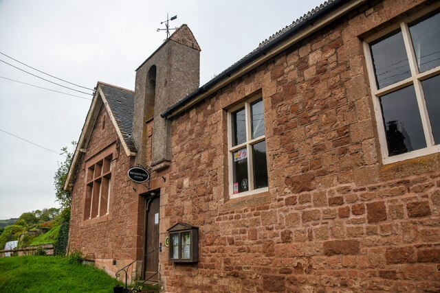
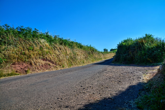
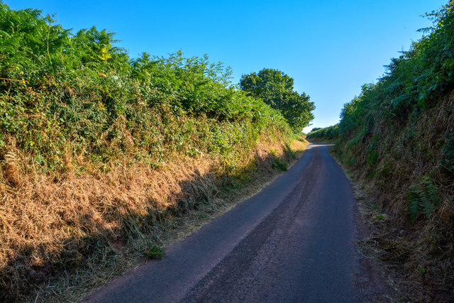
Cleeve Copse Images
Images are sourced within 2km of 51.130375/-3.4045705 or Grid Reference ST0137. Thanks to Geograph Open Source API. All images are credited.


Cleeve Copse is located at Grid Ref: ST0137 (Lat: 51.130375, Lng: -3.4045705)
Administrative County: Somerset
District: Somerset West and Taunton
Police Authority: Avon and Somerset
What 3 Words
///sediment.quench.slant. Near Williton, Somerset
Nearby Locations
Related Wikis

Roadwater railway station
The Roadwater railway station was an intermediate station on the West Somerset Mineral Railway (WSMR), which was built primarily to carry iron ore from...

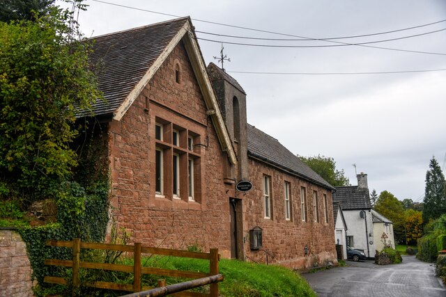
St Peter's Church, Treborough
The Anglican St Peter's Church at Treborough within the English county of Somerset dates from the 14th century. It is a Grade II* listed building.Although...

Church of St Peter, Williton
The Anglican Church of St Peter in Williton in the English county of Somerset is recorded in the National Heritage List for England as a designated Grade...
Treborough
Treborough is a small village and civil parish 7 miles (11 km) south of Dunster, lying amongst the Brendon Hills within the Exmoor National Park in the...

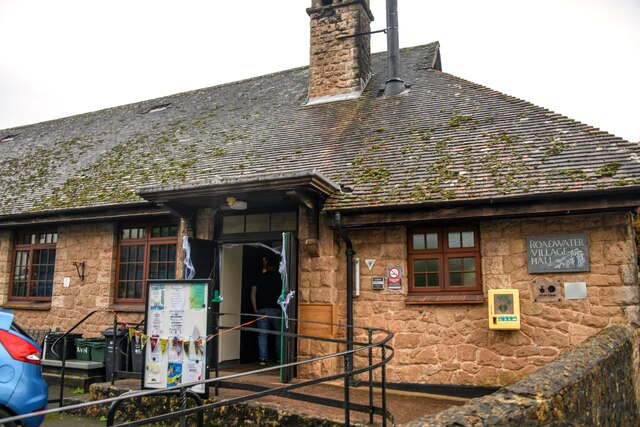
Roadwater
Roadwater is a village 3 miles (5 km) south-west of Williton, on the northern edge of the Exmoor National Park, in Somerset, England. == History == The...

Church of St Bartholomew, Rodhuish
The Anglican Church of St Bartholomew in Rodhuish, Somerset, England was built in the 15th century. It is a Grade II* listed building. == History == The...
Clitsome railway station
Clitsome was a recognised stopping place, not a formal station, on the West Somerset Mineral Railway (WSMR). The railway's prime purpose was to carry iron...

Rodhuish Common
Rodhuish Common is a univallate Iron Age hill fort in the West Somerset district of Somerset, England. There is a small oval enclosure which is thought...
Have you been to Cleeve Copse?
Leave your review of Cleeve Copse below (or comments, questions and feedback).