Catgill Wood
Wood, Forest in Cumberland Copeland
England
Catgill Wood
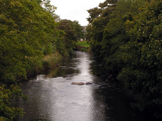
Catgill Wood is a picturesque woodland located in the county of Cumberland, England. It covers an area of approximately 200 acres and is renowned for its natural beauty and diverse range of flora and fauna. The wood is situated at the foothills of the stunning Lake District National Park, offering visitors a unique opportunity to experience the tranquility and serenity of this untouched natural habitat.
The wood is predominantly made up of mature oak and beech trees, which create a dense canopy and provide a sheltered environment for a variety of woodland creatures. It is home to a plethora of wildlife, including red squirrels, badgers, and a rich array of bird species such as woodpeckers and owls. Visitors can expect to encounter these creatures as they explore the numerous walking trails that wind through the wood.
The forest floor is adorned with a colorful carpet of wildflowers during the spring and summer months, adding to the enchanting atmosphere of the wood. In addition to the natural beauty, Catgill Wood also boasts a small stream that meanders through its heart, providing a soothing soundtrack to accompany the sounds of nature.
The wood is a popular destination for nature enthusiasts, hikers, and birdwatchers alike. It is easily accessible by car and offers ample parking facilities. Visitors are encouraged to respect the natural environment and adhere to the designated trails to ensure the preservation of this remarkable woodland for future generations to enjoy.
If you have any feedback on the listing, please let us know in the comments section below.
Catgill Wood Images
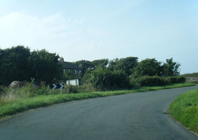
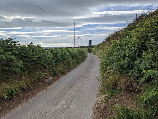
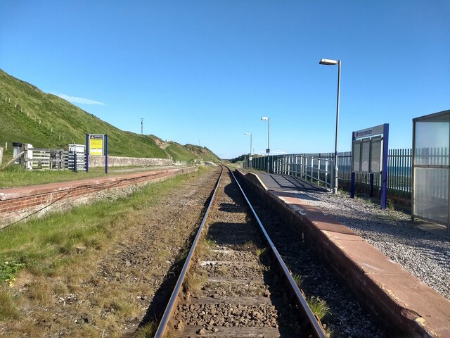
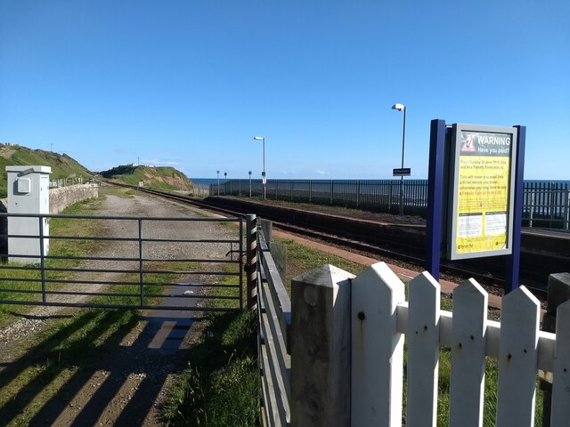
Images are sourced within 2km of 54.464171/-3.5378214 or Grid Reference NY0008. Thanks to Geograph Open Source API. All images are credited.


Catgill Wood is located at Grid Ref: NY0008 (Lat: 54.464171, Lng: -3.5378214)
Administrative County: Cumbria
District: Copeland
Police Authority: Cumbria
What 3 Words
///seaweed.exist.lads. Near Egremont, Cumbria
Nearby Locations
Related Wikis
Thornhill, Cumbria
Thornhill is a village in the county of Cumbria, England, south of Whitehaven and north of Seascale, close to St. Bees, and only a few miles from the Irish...

Lowside Quarter
Lowside Quarter is a civil parish in Copeland, Cumbria, England. At the 2011 census it had a population of 583.The parish has an area of 785.43 hectares...

St Thomas Cross Platform railway station
St Thomas Cross Platform was a railway station used by workmen's trains on the Moor Row to Sellafield line on what is now the southeastern, Cringlethwaite...

Egremont Castle
Egremont Castle is located in the town of Egremont, Cumbria (grid reference NY00981050). == History == The original castle was built on a mound above the...
Nearby Amenities
Located within 500m of 54.464171,-3.5378214Have you been to Catgill Wood?
Leave your review of Catgill Wood below (or comments, questions and feedback).