Priestgill Wood

Wood, Forest in Cumberland Copeland

England

Priestgill Wood

Standing Stones Trigpoint and Golf Course, Whitehaven Easy road side Trig <span class="nowrap"><a title="http://www.trigpointinguk.com/trigs/trig-details.php?t=6154" rel="nofollow ugc noopener" href="http://www.trigpointinguk.com/trigs/trig-details.php?t=6154">Link</a><img style="margin-left:2px;" alt="External link" title="External link - shift click to open in new window" src="https://s1.geograph.org.uk/img/external.png" width="10" height="10"/></span> near the golf course
Standing Stones Trigpoint and Golf Course, Whitehaven Credit: Brian Deegan

Priestgill Wood is a picturesque woodland located in the county of Cumberland, in the North West of England. Spanning over 100 hectares, it is nestled within the stunning landscape of the Lake District National Park.

The wood is characterized by its diverse range of trees, including oak, birch, and ash, which create a vibrant and ever-changing canopy throughout the seasons. The forest floor is covered in a lush carpet of ferns, mosses, and wildflowers, offering a haven for a variety of wildlife.

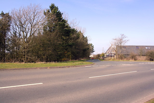
A network of well-maintained footpaths winds through Priestgill Wood, allowing visitors to explore its hidden corners and discover its natural beauty. The paths lead to secluded clearings, babbling streams, and tranquil ponds, providing peaceful spots for relaxation and contemplation.

The wood is home to a rich array of wildlife, including deer, badgers, foxes, and a wide variety of bird species. Nature enthusiasts can observe these creatures in their natural habitat, taking in the sights and sounds of the forest.

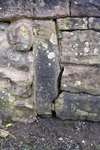
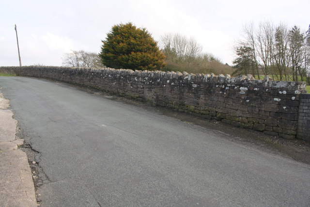
Priestgill Wood also has historical significance, with remnants of ancient settlements and boundary markers still visible today. It is believed that the wood has been a source of timber and fuel for local communities for centuries.

Whether it is a leisurely stroll, a birdwatching expedition, or a peaceful picnic, Priestgill Wood offers a tranquil escape from the hustle and bustle of everyday life. With its natural beauty and serene atmosphere, it is a must-visit destination for nature lovers and those seeking solace in the heart of the Lake District.

If you have any feedback on the listing, please let us know in the comments section below.

Priestgill Wood Images

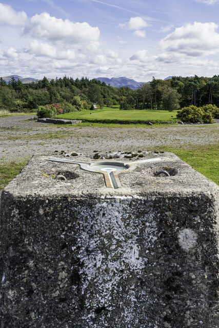
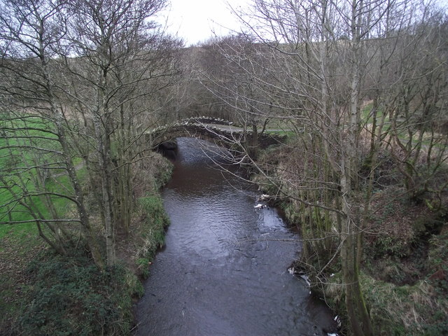
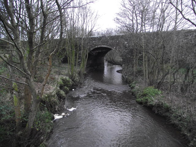
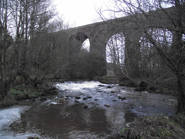
Images are sourced within 2km of 54.547024/-3.5468428 or Grid Reference NY0017. Thanks to Geograph Open Source API. All images are credited.

Standing Stones Trigpoint and Golf Course, Whitehaven Easy road side Trig <span class="nowrap"><a title="http://www.trigpointinguk.com/trigs/trig-details.php?t=6154" rel="nofollow ugc noopener" href="http://www.trigpointinguk.com/trigs/trig-details.php?t=6154">Link</a><img style="margin-left:2px;" alt="External link" title="External link - shift click to open in new window" src="https://s1.geograph.org.uk/img/external.png" width="10" height="10"/></span> near the golf course
Standing Stones Trigpoint and Golf Course, Whitehaven
Easy road side Trig LinkExternal link near the golf course
Old Keekle Bridge The Old Keekle Bridge is a packhorse bridge over the River Keekle and was restored in 1994.
Old Keekle Bridge
The Old Keekle Bridge is a packhorse bridge over the River Keekle and was restored in 1994.
Keekle Low Bridge Keekle Low Bridge carries the B5295 over the River Keekle
Keekle Low Bridge
Keekle Low Bridge carries the B5295 over the River Keekle
Keekle viaduct
Keekle viaduct
Whitehaven from the air Whitehaven Commercial park and Whitehaven Golf Club are in the foreground. North Head and St Bees Head are in the distance.
Whitehaven from the air
Whitehaven Commercial park and Whitehaven Golf Club are in the foreground. North Head and St Bees Head are in the distance.
T-junction at SE end of Victoria Road
Junction of footpath and Victoria Road
Benchmark on vertical element in stone wall Ordnance Survey cut mark benchmark levelled at 147.932m above Newlyn Datum
Benchmark on vertical element in stone wall
Ordnance Survey cut mark benchmark levelled at 147.932m above Newlyn Datum
Stone wall beside minor road at Scilly Bank There is an OS benchmark <a href="https://www.geograph.org.uk/photo/5959921">NX9919 : Benchmark on vertical element in stone wall</a> on a post in the wall at the centre of the image
Stone wall beside minor road at Scilly Bank
There is an OS benchmark NX9919 : Benchmark on vertical element in stone wall on a post in the wall at the centre of the image
Benchmark on wall on west side of road at a wall junction Ordnance Survey cut mark benchmark levelled at 160.788m above Newlyn Datum
Benchmark on wall on west side of road at a wall junction
Ordnance Survey cut mark benchmark levelled at 160.788m above Newlyn Datum
Stone wall beside road west of Moresby Parks There is an OS benchmark <a href="https://www.geograph.org.uk/photo/5959949">NX9919 : Benchmark on wall on west side of road at a wall junction</a> on the base stone in the wall, at a junction of walls, near the left hand edge of the image, and below a patch of white lichen
Stone wall beside road west of Moresby Parks
There is an OS benchmark NX9919 : Benchmark on wall on west side of road at a wall junction on the base stone in the wall, at a junction of walls, near the left hand edge of the image, and below a patch of white lichen
Benchmark on stone gatepost on north side of School Brow Ordnance Survey cut mark benchmark levelled at 141.223m above Newlyn Datum
Benchmark on stone gatepost on north side of School Brow
Ordnance Survey cut mark benchmark levelled at 141.223m above Newlyn Datum
Field gateway on north side of School Brow There is an OS benchmark <a href="https://www.geograph.org.uk/photo/5960027">NX9919 : Benchmark on stone gatepost on north side of School Brow</a> on the inside face of the stone gatepost at the far side of the gateway
Field gateway on north side of School Brow
There is an OS benchmark NX9919 : Benchmark on stone gatepost on north side of School Brow on the inside face of the stone gatepost at the far side of the gateway
Potholes on Galemire lane
Benchmark on 'Standing Stones' trig point Ordnance Survey flush bracket (serial identifier S5758) described on the OS Database as NX 9914 1809 FLUSH BRACKET FL BR S5758 STANDING STONES TP 143.256m ODN
Benchmark on 'Standing Stones' trig point
Ordnance Survey flush bracket (serial identifier S5758) described on the OS Database as NX 9914 1809 FLUSH BRACKET FL BR S5758 STANDING STONES TP 143.256m ODN
Triangulation pillar at entrance to Whitehaven Golf Course Detailed information about the pillar is at <span class="nowrap"><a title="http://trigpointing.uk/trig/6154" rel="nofollow ugc noopener" href="http://trigpointing.uk/trig/6154">Link</a><img style="margin-left:2px;" alt="External link" title="External link - shift click to open in new window" src="https://s1.geograph.org.uk/img/external.png" width="10" height="10"/></span> . The pillar's flush bracket benchmark <a href="https://www.geograph.org.uk/photo/5991114">NX9918 : Benchmark on 'Standing Stones' trig point</a> is visible through the gap between the stone wall and the end wooden fence post
Triangulation pillar at entrance to Whitehaven Golf Course
Detailed information about the pillar is at LinkExternal link . The pillar's flush bracket benchmark NX9918 : Benchmark on 'Standing Stones' trig point is visible through the gap between the stone wall and the end wooden fence post
Whitehaven Golf Course There is an Ordnance Survey trig point pillar <a href="https://www.geograph.org.uk/photo/5991128">NX9918 : Triangulation pillar at entrance to Whitehaven Golf Course</a> at the entrance
Whitehaven Golf Course
There is an Ordnance Survey trig point pillar NX9918 : Triangulation pillar at entrance to Whitehaven Golf Course at the entrance
Old Milestone by B5295, Hensingham Road, Whitehaven parish Whitehaven plate stone by the UC road (was A595), in parish of Whitehaven (Copeland District), Hensingham Road, built into roadside wall at pavement level,  opposite the Lowther Arms PH.

Inscription reads:-
TO
CALDER BRIDGE
8½ MILES

Surveyed

Milestone Society National ID: CU_WHCB01
Old Milestone by B5295, Hensingham Road, Whitehaven parish
Whitehaven plate stone by the UC road (was A595), in parish of Whitehaven (Copeland District), Hensingham Road, built into roadside wall at pavement level, opposite the Lowther Arms PH. Inscription reads:- TO CALDER BRIDGE 8½ MILES Surveyed Milestone Society National ID: CU_WHCB01
Show me another place!

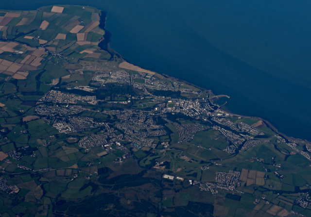
Priestgill Wood is located at Grid Ref: NY0017 (Lat: 54.547024, Lng: -3.5468428)

Administrative County: Cumbria

District: Copeland

Police Authority: Cumbria

What 3 Words

///indulges.observes.then. Near Whitehaven, Cumbria

Related Wikis

St Benedict's Catholic High School, Hensingham

St Benedict's Catholic High School is a co-educational 11–18 comprehensive school on the edge of Whitehaven, Cumbria, England. It is located between the...

Moresby Junction Halt railway station

Moresby Junction Halt railway station was opened by the Cleator and Workington Junction Railway (C&WJR) in 1910. Very few people lived near the halt, which...

The Whitehaven Academy

The Whitehaven Academy (formerly Whitehaven School) is a comprehensive co-educational secondary school with academy status, located in Whitehaven, in west...

Moresby, Cumbria

Moresby is a civil parish in Cumbria, England. It had a population of 1,280 at the 2001 census, increasing to 1,997 at the 2011 Census. Most people live...

Nearby Amenities

Located within 500m of 54.547024,-3.5468428
Power: tower
Lat/Long: 54.5461911/-3.5511896
Power: tower
Lat/Long: 54.5481946/-3.5501119
Power: tower
Lat/Long: 54.5511282/-3.5476123
Power: pole
Lat/Long: 54.5478949/-3.5510771
Power: pole
Lat/Long: 54.5460583/-3.5526878
Power: pole
Lat/Long: 54.5450821/-3.5535152
Power: pole
Lat/Long: 54.5486198/-3.5511303
Power: pole
Lat/Long: 54.5494575/-3.5512316
Power: pole
Lat/Long: 54.5502611/-3.5521816
The data included in this document is from www.openstreetmap.org. The data is made available under ODbL.

Have you been to Priestgill Wood?

Leave your review of Priestgill Wood below (or comments, questions and feedback).