Bonny Wood

Wood, Forest in Cumberland Copeland

England

Bonny Wood

A595 north of Parton
A595 north of Parton Credit: Colin Pyle

Bonny Wood, located in Cumberland, is a picturesque forest that spans across a vast area. With its enchanting landscapes and diverse flora and fauna, it is a popular destination for nature lovers and outdoor enthusiasts. The wood is known for its dense canopy of towering trees, creating a serene and tranquil atmosphere.

The forest features a wide variety of tree species, including oak, beech, and ash, which provide a rich habitat for numerous animals and birds. Walking through the wood, visitors can spot deer, foxes, squirrels, and a plethora of bird species, making it a haven for wildlife enthusiasts and birdwatchers.

Bonny Wood offers several walking trails and paths that wind through its enchanting surroundings, allowing visitors to explore the beauty of nature at their own pace. The trails are well-maintained and offer varying difficulty levels, catering to both casual strollers and more experienced hikers.

The wood also boasts a small lake, offering a tranquil spot for relaxation and fishing. Anglers can enjoy casting their lines in hopes of catching trout or perch, while others can simply sit by the waterside, taking in the peaceful ambiance.

Bonny Wood is a paradise for photographers, artists, and anyone seeking solace in nature's embrace. Its natural beauty, diverse wildlife, and serene atmosphere make it a must-visit location for those looking to reconnect with the great outdoors.

If you have any feedback on the listing, please let us know in the comments section below.
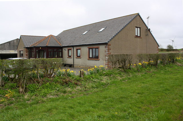
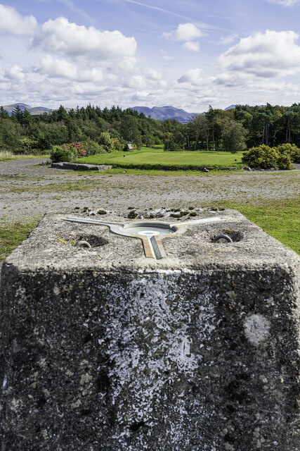
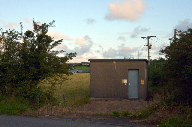
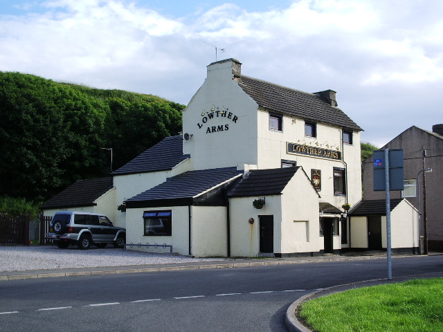
Bonny Wood Images

Images are sourced within 2km of 54.562285/-3.5482713 or Grid Reference NX9919. Thanks to Geograph Open Source API. All images are credited.

A595 north of Parton
Old Milestone by A595, East of Police Station; 50m West Brewery Bottom Recently restored 
The Milestone is located on grass verge on the North of the road.  Parish of Parton (Copeland District). Metal plate attached to stone post, Whitehaven plate stone design, erected by the Whitehaven turnpike trust in the 19th Century. An earlier photograph can be found here: <a title="https://www.geograph.org.uk/photo/5623131" href="https://www.geograph.org.uk/photo/5623131">Link</a> 

Inscription reads:- TO WORKINGTON / 6 MILES : : TO WHITEHAVEN / 2 MILES  Grade II listed. List Entry Number: 1312397 <span class="nowrap"><a title="https://historicengland.org.uk/listing/the-list/list-entry/1312397" rel="nofollow ugc noopener" href="https://historicengland.org.uk/listing/the-list/list-entry/1312397">Link</a><img style="margin-left:2px;" alt="External link" title="External link - shift click to open in new window" src="https://s1.geograph.org.uk/img/external.png" width="10" height="10"/></span> 

Milestone Society National ID: CU_WHWO02
Old Milestone by A595, East of Police Station; 50m West Brewery Bottom
Recently restored The Milestone is located on grass verge on the North of the road.  Parish of Parton (Copeland District). Metal plate attached to stone post, Whitehaven plate stone design, erected by the Whitehaven turnpike trust in the 19th Century. An earlier photograph can be found here: Link  Inscription reads:- TO WORKINGTON / 6 MILES : : TO WHITEHAVEN / 2 MILES Grade II listed. List Entry Number: 1312397 LinkExternal link Milestone Society National ID: CU_WHWO02
Low Moresby (road) towards the A595
Parton Milestone Grade II listed milestone beside the A595. "mid C19. Single sandstone block c2 ft high with chamfered top; square in plan, set diagonally to road. Painted white with rectangular
cast-iron plate to north face; border and raised sans-serif lettering picked out
in black: TO WHITEHAVEN 2 MILES. Plate missing from south face". The missing plate showed Workington 6 miles & Cockermouth 12 miles.
Parton Milestone
Grade II listed milestone beside the A595. "mid C19. Single sandstone block c2 ft high with chamfered top; square in plan, set diagonally to road. Painted white with rectangular cast-iron plate to north face; border and raised sans-serif lettering picked out in black: TO WHITEHAVEN 2 MILES. Plate missing from south face". The missing plate showed Workington 6 miles & Cockermouth 12 miles.
Bungalow and farm buildings
Railway without train. The farmer seems to have made good use of the embankments when choosing the site for the stockpen.
Railway without train.
The farmer seems to have made good use of the embankments when choosing the site for the stockpen.
Foundry Road Parton Parton
Foundry Road Parton
Parton
Standing Stones Trigpoint and Golf Course, Whitehaven Easy road side Trig <span class="nowrap"><a title="http://www.trigpointinguk.com/trigs/trig-details.php?t=6154" rel="nofollow ugc noopener" href="http://www.trigpointinguk.com/trigs/trig-details.php?t=6154">Link</a><img style="margin-left:2px;" alt="External link" title="External link - shift click to open in new window" src="https://s1.geograph.org.uk/img/external.png" width="10" height="10"/></span> near the golf course
Standing Stones Trigpoint and Golf Course, Whitehaven
Easy road side Trig LinkExternal link near the golf course
Old Milestone by the A595 in Parton Metal plate attached to stone post by the A595, in parish of PARTON (COPELAND District), East of Police Station; 50m West of Brewery Bottom, on grass verge, on North side of road. Whitehaven plate stone, erected by the Whitehaven turnpike trust in the 19th century. 

Inscription reads:-
: {plaque missing} (WORKINGTON / 6 MILES) : : TO WHITEHAVEN / 2 MILES : 

Grade II Listed. List Entry Number: 1312397
<span class="nowrap"><a title="https://historicengland.org.uk/listing/the-list/list-entry/1312397" rel="nofollow ugc noopener" href="https://historicengland.org.uk/listing/the-list/list-entry/1312397">Link</a><img style="margin-left:2px;" alt="External link" title="External link - shift click to open in new window" src="https://s1.geograph.org.uk/img/external.png" width="10" height="10"/></span>

Milestone Society National ID: CU_WHWO02.
Old Milestone by the A595 in Parton
Metal plate attached to stone post by the A595, in parish of PARTON (COPELAND District), East of Police Station; 50m West of Brewery Bottom, on grass verge, on North side of road. Whitehaven plate stone, erected by the Whitehaven turnpike trust in the 19th century. Inscription reads:- : {plaque missing} (WORKINGTON / 6 MILES) : : TO WHITEHAVEN / 2 MILES : Grade II Listed. List Entry Number: 1312397 LinkExternal link Milestone Society National ID: CU_WHWO02.
Rosehill Barn
Rosehill Barn
Junction of A595 and B5306
Cycle lane off B5306 leading to junction with A595
Whitehaven Premier Inn, Howden
The B5306 at Howgate, Moresby
House on the B5306 at Howgate, Moresby
Electricity substation on the B5306 at Howgate, Moresby
A beck seen from the B5306, Howgate, Moresby The beck enters a tunnel under the road and emerges from it some distance to the north west just before flowing into Lowca Beck west.
A beck seen from the B5306, Howgate, Moresby
The beck enters a tunnel under the road and emerges from it some distance to the north west just before flowing into Lowca Beck west.
The A595, Moresby and Parton The A595 is the boundary between Moresby and Parton here. The houses are in Moresby, the foreground pavepent in Parton.
The A595, Moresby and Parton
The A595 is the boundary between Moresby and Parton here. The houses are in Moresby, the foreground pavepent in Parton.
Show me another place!

Bonny Wood is located at Grid Ref: NX9919 (Lat: 54.562285, Lng: -3.5482713)

Administrative County: Cumbria

District: Copeland

Police Authority: Cumbria

What 3 Words

///housework.tidy.feuds. Near Whitehaven, Cumbria

Related Wikis

Moresby, Cumbria

Moresby is a small village and civil parish in the Borough of Copeland in Cumbria, England. It had a population of 1,280 at the 2001 census, increasing...

Moresby Parks railway station

Moresby Parks railway station was opened by the Cleator and Workington Junction Railway (C&WJR) in 1879. It was situated just north of the summit of the...

Moresby Junction Halt railway station

Moresby Junction Halt railway station was opened by the Cleator and Workington Junction Railway (C&WJR) in 1910. Very few people lived near the halt, which...

Millgrove railway station (England)

Millgrove railway station was a private station on the Cleator and Workington Junction Railway (C&WJR) main line from Moor Row to Workington Central. It...

Quality Corner

Quality Corner is a hamlet in the English county of Cumbria. Quality Corner is located about one mile east of the port of Whitehaven; its postal address...

Watch Hill (Whitehaven)

Watch Hill is a small hill lying on the western fringe of the Lake District in England, north east of Whitehaven. It should not be confused with another...

Parton, Cumbria

Parton is a village and civil parish on the Cumbrian coast, overlooking the Solway Firth, 1¼ miles (2 km) from Whitehaven in England. The parish had a...

St Benedict's Catholic High School, Hensingham

St Benedict's Catholic High School is a co-educational 11–18 comprehensive school on the edge of Whitehaven, Cumbria, England. It is located between the...

Nearby Amenities

Located within 500m of 54.562285,-3.5482713
Bus Stop
Post Office
Naptan AtcoCode: 090050171332
Naptan Bearing: W
Naptan BusStopType: CUS
Naptan CommonName: Post Office
Naptan Indicator: o/s
Naptan Landmark: Post Office
Naptan NaptanCode: cumawdgw
Naptan Street: Moresby Parks Road
Naptan Verified: no
Source: naptan_import
Lat/Long: 54.5590583/-3.5512415
Turning Circle
Lat/Long: 54.5617803/-3.5539387
Source: Bing and OS_OpenData_StreetView
Lat/Long: 54.5580634/-3.5490086
Noexit: yes
Lat/Long: 54.5603803/-3.5545607
Turning Circle
Lat/Long: 54.5593271/-3.5522155
Moresby Parks
Place: village
Lat/Long: 54.5600011/-3.5499129
Post Box
Operator: Royal Mail
Post Box Type: lamp
Ref: CA28 63
Lat/Long: 54.5590297/-3.5512599
Post Box
Ref: CA28 153
Lat/Long: 54.5618718/-3.554487
Barrier: bollard
Lat/Long: 54.5618852/-3.5556223
Barrier: bollard
Lat/Long: 54.5618634/-3.55523
Telephone
Defibrillator
Booth: KX100
Covered: booth
Defibrillator Location: inside old phone box in Moresby Parks
Emergency: defibrillator
Man Made: telephone_box
Lat/Long: 54.5592954/-3.5516392
Barrier: bollard
Lat/Long: 54.5590336/-3.5512628
Barrier: bollard
Lat/Long: 54.5590278/-3.5512931
Barrier: bollard
Lat/Long: 54.559039/-3.5512363
Barrier: bollard
Lat/Long: 54.5590219/-3.5513219
Power: substation
Lat/Long: 54.5601715/-3.550359
Moresby Parks
Disused Railway: station
Railway: site
Lat/Long: 54.5617845/-3.5532368
Bench
Lat/Long: 54.5592374/-3.5516414
Bench
Lat/Long: 54.5591482/-3.5516378
Generator Method: photovoltaic
Generator Output Electricity: yes
Generator Source: solar
Generator Type: solar_photovoltaic_panel
Location: roof
Power: generator
Lat/Long: 54.5596946/-3.5489056
Generator Method: photovoltaic
Generator Output Electricity: yes
Generator Source: solar
Generator Type: solar_photovoltaic_panel
Location: roof
Power: generator
Lat/Long: 54.5586954/-3.5499715
Generator Method: photovoltaic
Generator Output Electricity: yes
Generator Source: solar
Generator Type: solar_photovoltaic_panel
Location: roof
Power: generator
Lat/Long: 54.559718/-3.55256
Generator Method: photovoltaic
Generator Output Electricity: yes
Generator Source: solar
Generator Type: solar_photovoltaic_panel
Location: roof
Power: generator
Lat/Long: 54.5597572/-3.5509714
Generator Method: photovoltaic
Generator Output Electricity: yes
Generator Source: solar
Generator Type: solar_photovoltaic_panel
Location: roof
Power: generator
Lat/Long: 54.5597539/-3.5508898
Generator Method: photovoltaic
Generator Output Electricity: yes
Generator Source: solar
Generator Type: solar_photovoltaic_panel
Location: roof
Power: generator
Lat/Long: 54.5606636/-3.5525656
Generator Method: photovoltaic
Generator Output Electricity: yes
Generator Source: solar
Generator Type: solar_photovoltaic_panel
Location: roof
Power: generator
Lat/Long: 54.5606604/-3.5526331
Generator Method: photovoltaic
Generator Output Electricity: yes
Generator Source: solar
Generator Type: solar_photovoltaic_panel
Location: roof
Power: generator
Lat/Long: 54.5612375/-3.5550623
Generator Method: photovoltaic
Generator Output Electricity: yes
Generator Source: solar
Generator Type: solar_photovoltaic_panel
Location: roof
Power: generator
Lat/Long: 54.5612342/-3.5551607
Generator Method: photovoltaic
Generator Output Electricity: yes
Generator Source: solar
Generator Type: solar_photovoltaic_panel
Location: roof
Power: generator
Lat/Long: 54.5600767/-3.5535497
Generator Method: photovoltaic
Generator Output Electricity: yes
Generator Source: solar
Generator Type: solar_photovoltaic_panel
Location: roof
Power: generator
Lat/Long: 54.5589534/-3.553246
Power: pole
Lat/Long: 54.5610889/-3.5494409
Power: pole
Lat/Long: 54.5618218/-3.549451
Power: pole
Lat/Long: 54.5625958/-3.5494409
Power: pole
Lat/Long: 54.5633851/-3.549453
Power: pole
Lat/Long: 54.5643282/-3.5496657
Power: pole
Lat/Long: 54.5653276/-3.5498946
Power: pole
Lat/Long: 54.5663423/-3.5501377
Power: pole
Lat/Long: 54.5618054/-3.550715
Power: pole
Lat/Long: 54.5597111/-3.5468136
Power: pole
Lat/Long: 54.5590639/-3.5459892
Power: pole
Lat/Long: 54.5583744/-3.5451161
Power: pole
Lat/Long: 54.5621783/-3.5530385
Power: pole
Lat/Long: 54.5631449/-3.5529432
Power: pole
Lat/Long: 54.5640715/-3.5535266
Power: pole
Lat/Long: 54.5648197/-3.5540351
The data included in this document is from www.openstreetmap.org. The data is made available under ODbL.

Have you been to Bonny Wood?

Leave your review of Bonny Wood below (or comments, questions and feedback).