Abbey Wood
Wood, Forest in Cumberland Copeland
England
Abbey Wood
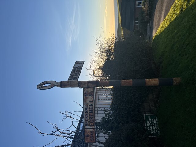
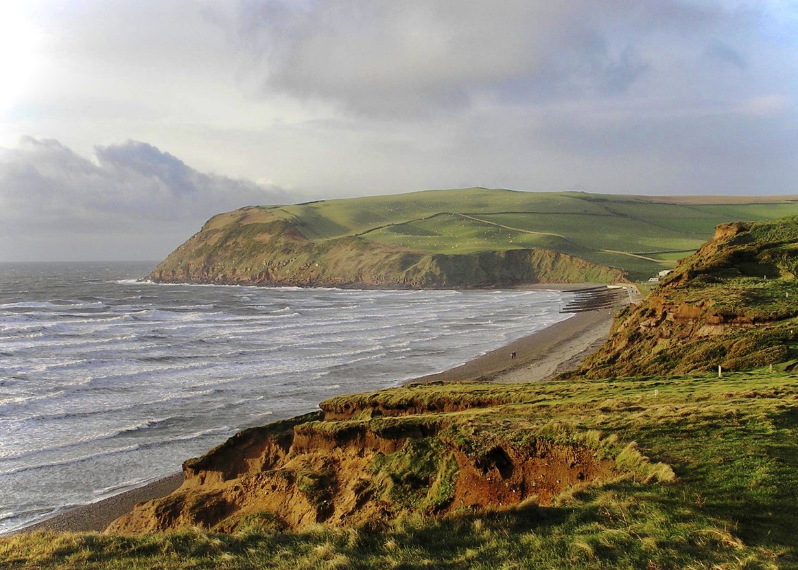
Abbey Wood, Cumberland is a small village located in the county of Cumbria, England. Situated within the picturesque region of the Lake District National Park, Abbey Wood is renowned for its natural beauty and tranquil surroundings. The village is nestled amidst a dense forest, which adds to its charm and allure. The wood is predominantly made up of tall, majestic trees, including oak, beech, and pine, creating a serene and peaceful environment.
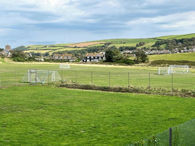
Abbey Wood is a popular destination for nature enthusiasts and hikers due to its extensive network of well-maintained walking trails that meander through the forest. These trails offer breathtaking views of the surrounding hills and valleys, making it an ideal location for outdoor activities such as birdwatching, photography, and picnicking.
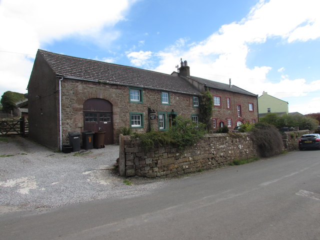
The village itself is quaint and traditional, with a small number of houses and a local pub that serves as a hub for social gatherings. The community is close-knit, and residents take pride in maintaining the village's natural beauty and preserving its historical heritage.
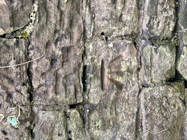
Abbey Wood is also home to the remains of a medieval abbey, which dates back to the 12th century. The abbey ruins provide a glimpse into the village's rich history and attract history enthusiasts and archaeologists alike.
Overall, Abbey Wood, Cumberland offers a peaceful retreat for those seeking solace in nature. With its enchanting forest, scenic trails, and historical charm, it is a destination that captivates visitors and residents alike.
If you have any feedback on the listing, please let us know in the comments section below.
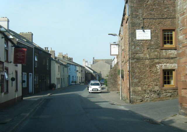
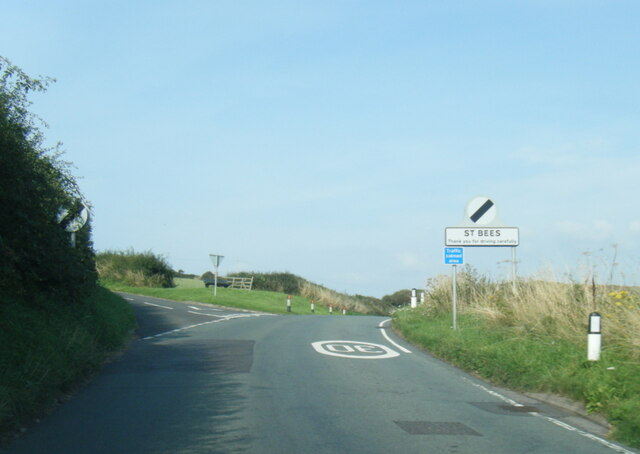
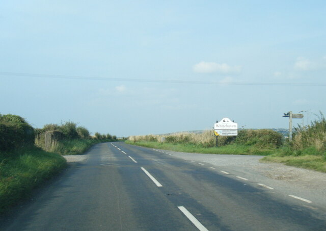
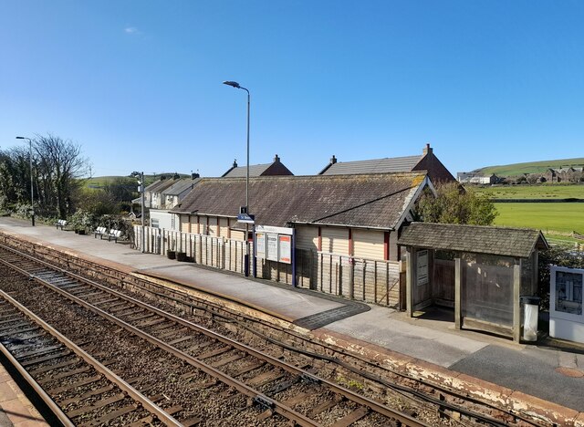
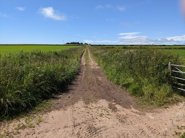
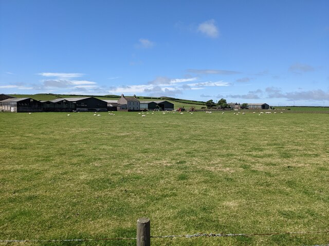
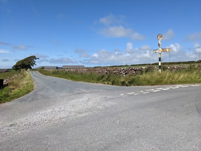
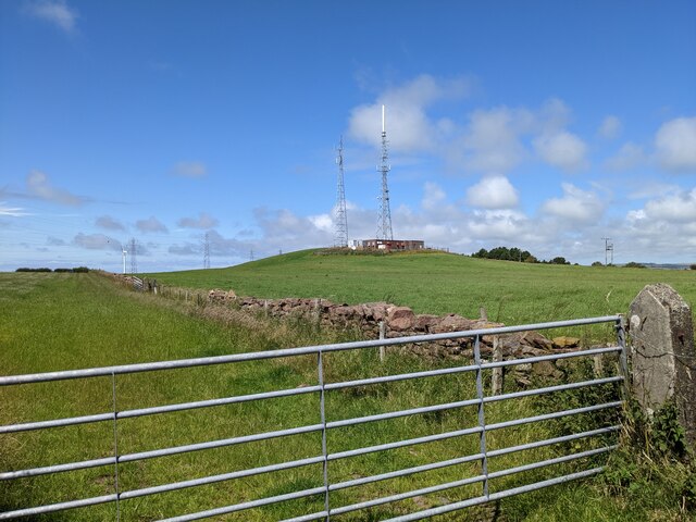
Abbey Wood Images
Images are sourced within 2km of 54.504105/-3.5817309 or Grid Reference NX9713. Thanks to Geograph Open Source API. All images are credited.


Abbey Wood is located at Grid Ref: NX9713 (Lat: 54.504105, Lng: -3.5817309)
Administrative County: Cumbria
District: Copeland
Police Authority: Cumbria
What 3 Words
///eyeliner.turkey.woes. Near St Bees, Cumbria
Nearby Locations
Related Wikis

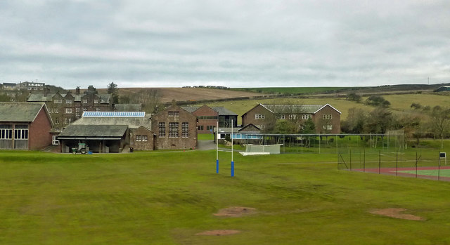
St Bees School
St Bees School is a co-educational private school in the English public school tradition, located in the West Cumbrian village of St Bees, England. It...

St Bees Priory
St Bees Priory is the parish church of St Bees, Cumbria, England. There is evidence for a pre-Norman religious site, and on this a Benedictine priory was...

St Bees Theological College
St Bees Theological College, close to the coast of Cumberland, was the first independent theological college to be established for the training of Church...

St Bees railway station
St Bees railway station is a railway station serving the village of St Bees in Cumbria, England. It is on the Cumbrian Coast Line, which runs between Carlisle...

Rottington
Rottington is a hamlet and former civil parish which is 3 miles (4.8 km) from Whitehaven; now in the parish of St Bees, Cumberland, Cumbria, England. It...
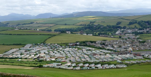
St Bees
St Bees is a coastal village, civil parish and electoral ward in the Copeland district of Cumbria, England, on the Irish Sea. Within the parish is St Bees...

Sandwith, Cumbria
Sandwith is a settlement and former civil parish in Cumbria, England, about 7 miles from Workington and near St Bees. It lies in the parish of Whitehaven...

St Bees Head RSPB reserve
St Bees Head RSPB Reserve at St Bees Head, Cumbria, England, is a coastal site which provides a home for thousands of seabirds under the care of the RSPB...
Nearby Amenities
Located within 500m of 54.504105,-3.5817309Have you been to Abbey Wood?
Leave your review of Abbey Wood below (or comments, questions and feedback).