Clarkston
Settlement in Renfrewshire
Scotland
Clarkston

Clarkston is a charming suburban town located in the county of Renfrewshire, Scotland. Situated approximately 12 kilometers south of Glasgow, it offers a tranquil and picturesque setting amidst the bustling urban landscape of the region. With a population of around 9,000 residents, Clarkston is a close-knit community renowned for its friendly atmosphere and strong sense of community spirit.
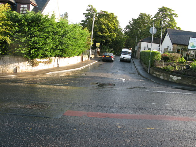
The town boasts a range of amenities and facilities to cater to residents' needs. Clarkston's Main Street serves as a vibrant hub, lined with a variety of local shops, boutiques, and restaurants, providing ample opportunities for shopping and dining. Additionally, the town is home to several supermarkets and convenience stores, ensuring that everyday essentials are easily accessible.
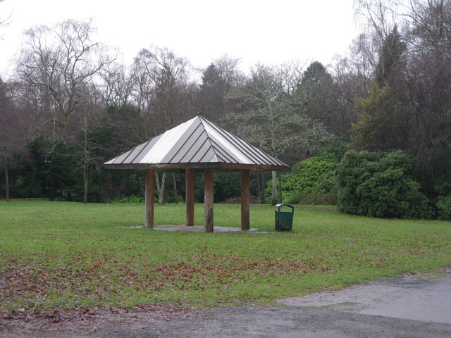
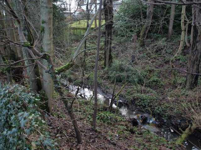
Nature enthusiasts will appreciate the abundance of green spaces in and around Clarkston. The nearby Rouken Glen Park is a popular destination, offering beautiful landscaped gardens, woodland walks, and a picturesque boating pond. The park also hosts a variety of events and activities throughout the year, including concerts and art exhibitions.
Education is well catered for in Clarkston, with several highly regarded primary and secondary schools. This makes it an attractive location for families, as parents can rest assured that their children will receive a high-quality education.
Clarkston benefits from excellent transport links, with regular bus and train services connecting the town to Glasgow and other nearby towns. This makes it an ideal location for commuters looking to escape the city's hustle and bustle while still enjoying easy access to urban amenities.
In conclusion, Clarkston presents itself as a peaceful and close-knit community with a range of amenities, beautiful green spaces, and excellent transport links. Its proximity to Glasgow adds to its appeal, making it an attractive place to live for those seeking a balance between suburban tranquility and urban convenience.
If you have any feedback on the listing, please let us know in the comments section below.
Clarkston Images
Images are sourced within 2km of 55.787229/-4.289515 or Grid Reference NS5657. Thanks to Geograph Open Source API. All images are credited.


Clarkston is located at Grid Ref: NS5657 (Lat: 55.787229, Lng: -4.289515)
Unitary Authority: East Renfrewshire
Police Authority: Greater Glasgow
What 3 Words
///risky.elite.heats. Near Clarkston, East Renfrewshire
Nearby Locations
Related Wikis
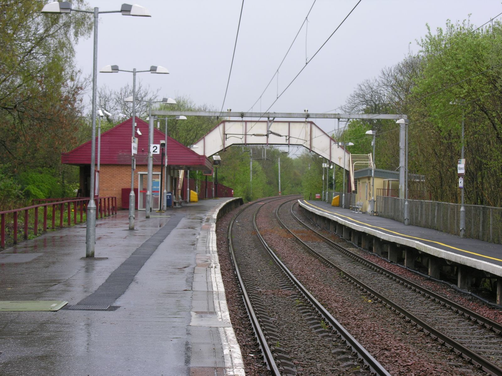
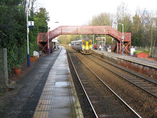
Williamwood railway station
Williamwood railway station is a railway station in the Williamwood area of the town of Clarkston, East Renfrewshire, Greater Glasgow, Scotland. The station...
Clarkston, East Renfrewshire
Clarkston (Scots: Clairkstoun, Scottish Gaelic: Baile Chlarc) is a suburban town in East Renfrewshire, in the Central Lowlands of Scotland. A dormitory...

Clarkston explosion
The Clarkston explosion was a disaster that occurred on 21 October 1971 in a row of shops on the main street of Clarkston, East Renfrewshire, Scotland...

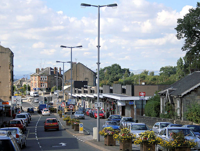
Clarkston railway station
Clarkston railway station is a suburban side platform railway station in the town of Clarkston, East Renfrewshire, Scotland. The station is managed by...
Nearby Amenities
Located within 500m of 55.787229,-4.289515Have you been to Clarkston?
Leave your review of Clarkston below (or comments, questions and feedback).