Sharland's Copse

Wood, Forest in Devon Mid Devon

England

Sharland's Copse

Butterleigh : St Matthew's Church People are dragging the bells out for restoration.
Butterleigh : St Matthew's Church Credit: Lewis Clarke

The requested URL returned error: 429 Too Many Requests

If you have any feedback on the listing, please let us know in the comments section below.

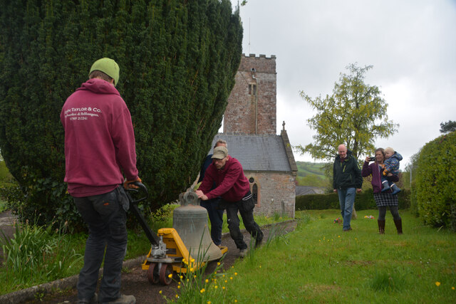
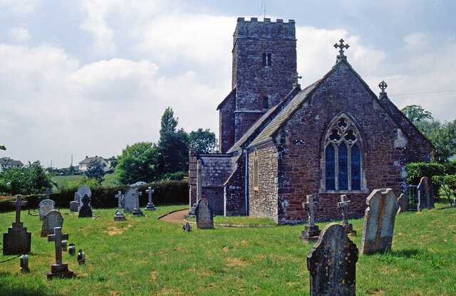
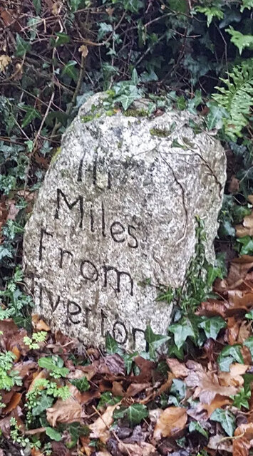
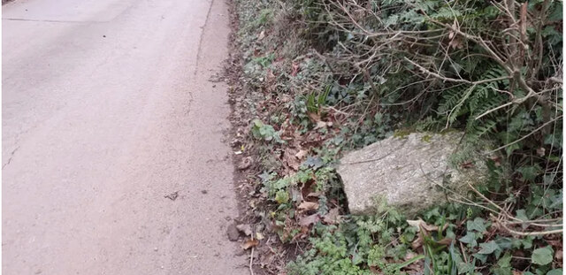
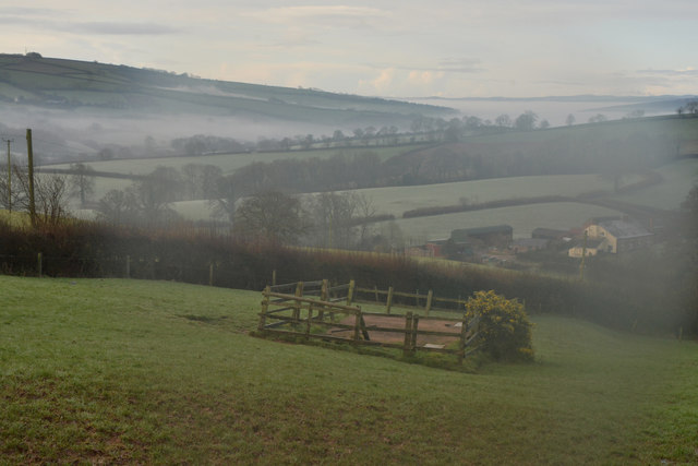
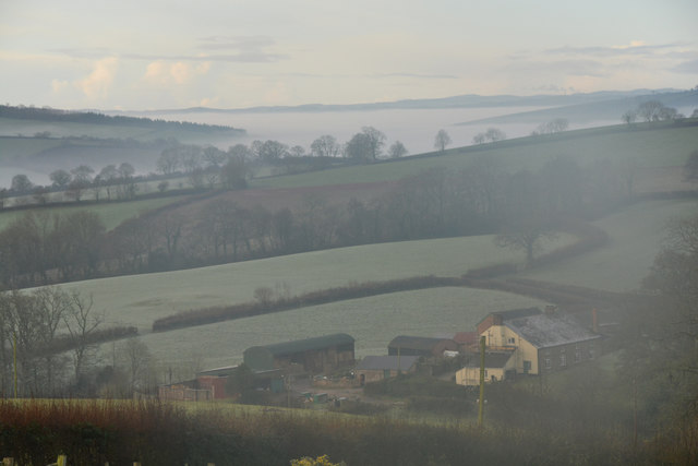
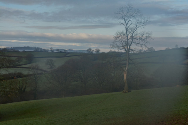
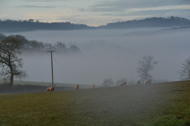
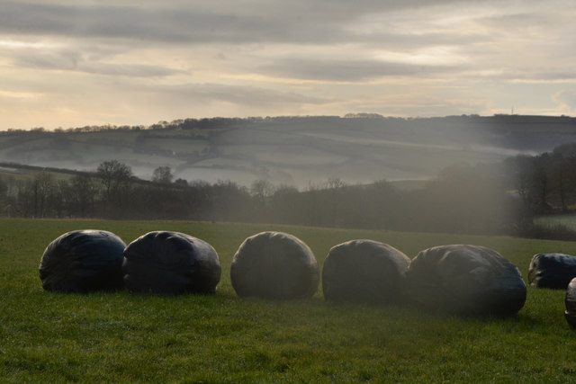
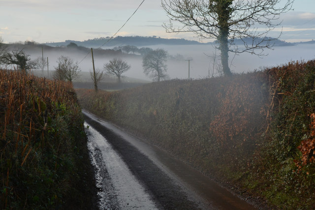
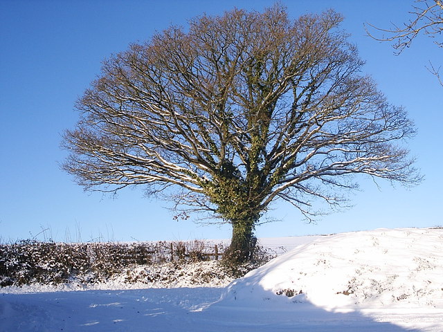
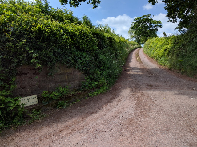
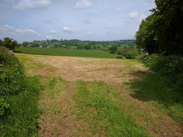
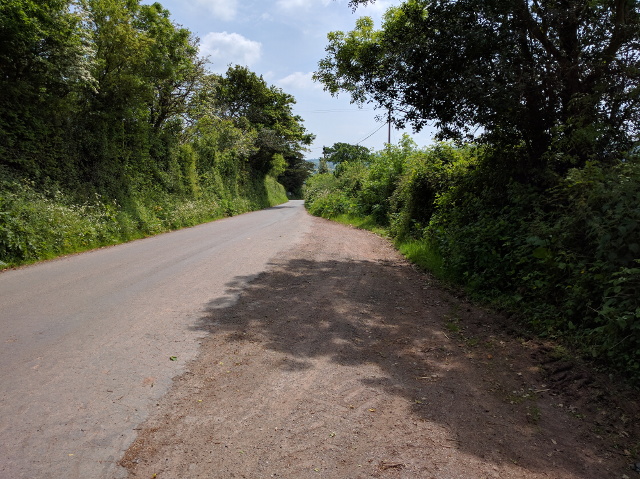
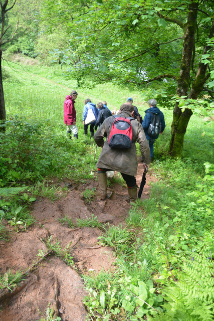
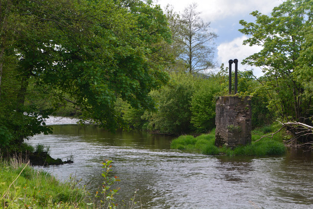
Sharland's Copse Images

Images are sourced within 2km of 50.860455/-3.4767385 or Grid Reference SS9607. Thanks to Geograph Open Source API. All images are credited.

Butterleigh : St Matthew's Church People are dragging the bells out for restoration.
Butterleigh : St Matthew's Church
People are dragging the bells out for restoration.
Butterleigh Church The oldest part of St Matthew's Church is the tower, dating from the 13th century. Apart from that, the church was rebuilt in 1861 although the architect is unknown. The building is grade II* listed.
Butterleigh Church
The oldest part of St Matthew's Church is the tower, dating from the 13th century. Apart from that, the church was rebuilt in 1861 although the architect is unknown. The building is grade II* listed.
Old Milestone by Old Exeter Road, west of Butterleigh Carved stone post by the UC road, in parish of Butterleigh (Mid Devon District), Old Exeter Road, beside Hillside Cottage, in bank at entrance to drive, on East side of road. Old Tiverton stone, erected by the Tiverton turnpike trust in the 18th century. An earlier photograph can be found here <a title="https://www.geograph.org.uk/photo/6035693" href="https://www.geograph.org.uk/photo/6035693">Link</a>.

Inscription reads:-
III
Miles
From
Tiverton

Devon & Dartmoor HER listed. HER Number: MDV76450 <span class="nowrap"><a title="https://www.heritagegateway.org.uk/Gateway/Results_Single.aspx?uid=MDV76450&resourceID=104" rel="nofollow ugc noopener" href="https://www.heritagegateway.org.uk/Gateway/Results_Single.aspx?uid=MDV76450&resourceID=104">Link</a><img style="margin-left:2px;" alt="External link" title="External link - shift click to open in new window" src="https://s1.geograph.org.uk/img/external.png" width="10" height="10"/></span>

Milestone Society National ID: DV_TTEX03
Old Milestone by Old Exeter Road, west of Butterleigh
Carved stone post by the UC road, in parish of Butterleigh (Mid Devon District), Old Exeter Road, beside Hillside Cottage, in bank at entrance to drive, on East side of road. Old Tiverton stone, erected by the Tiverton turnpike trust in the 18th century. An earlier photograph can be found here Link. Inscription reads:- III Miles From Tiverton Devon & Dartmoor HER listed. HER Number: MDV76450 LinkExternal link Milestone Society National ID: DV_TTEX03
Old Milestone by Old Exeter Road, west of Butterleigh Carved stone post by the UC road, in parish of Butterleigh (Mid Devon District), Old Exeter Road, beside Hillside Cottage, in bank at entrance to drive, on East side of road. Old Tiverton stone, erected by the Tiverton turnpike trust in the 18th century. An earlier photograph can be found here <a title="https://www.geograph.org.uk/photo/7557160" href="https://www.geograph.org.uk/photo/7557160">Link</a>.

Inscription reads:-
III
Miles
From
Tiverton

Devon & Dartmoor HER listed. HER Number: MDV76450 <span class="nowrap"><a title="https://www.heritagegateway.org.uk/Gateway/Results_Single.aspx?uid=MDV76450&resourceID=104" rel="nofollow ugc noopener" href="https://www.heritagegateway.org.uk/Gateway/Results_Single.aspx?uid=MDV76450&resourceID=104">Link</a><img style="margin-left:2px;" alt="External link" title="External link - shift click to open in new window" src="https://s1.geograph.org.uk/img/external.png" width="10" height="10"/></span>

Milestone Society National ID: DV_TTEX03
Old Milestone by Old Exeter Road, west of Butterleigh
Carved stone post by the UC road, in parish of Butterleigh (Mid Devon District), Old Exeter Road, beside Hillside Cottage, in bank at entrance to drive, on East side of road. Old Tiverton stone, erected by the Tiverton turnpike trust in the 18th century. An earlier photograph can be found here Link. Inscription reads:- III Miles From Tiverton Devon & Dartmoor HER listed. HER Number: MDV76450 LinkExternal link Milestone Society National ID: DV_TTEX03
Mid Devon : Countryside Scenery Looking out across the countryside of Mid Devon.
Mid Devon : Countryside Scenery
Looking out across the countryside of Mid Devon.
Mid Devon : Countryside Scenery Distant hillside mist can be seen from here.
Mid Devon : Countryside Scenery
Distant hillside mist can be seen from here.
Mid Devon : Grassy Field A grassy field in the Mid Devon countryside.
Mid Devon : Grassy Field
A grassy field in the Mid Devon countryside.
Mid Devon : Grassy Field & Sheep Sheep in a grassy field above the misty valley.
Mid Devon : Grassy Field & Sheep
Sheep in a grassy field above the misty valley.
Mid Devon : Grassy Field A grassy field in the Mid Devon countryside.
Mid Devon : Grassy Field
A grassy field in the Mid Devon countryside.
Mid Devon : Country Lane A small lane heading down into Bickleigh.
Mid Devon : Country Lane
A small lane heading down into Bickleigh.
Lane junction at Queensborough Farm
Queensborough Farm
Queensborough Farm
Oak tree opposite the drive to Burrow Court In the snow of February 2010.
Oak tree opposite the drive to Burrow Court
In the snow of February 2010.
Lane to West Pitt farm
View into a field between two lanes
Layby on the lane into Butterleigh
Mid Devon : Muddy Footpath A muddy footpath heads through the countryside.
Mid Devon : Muddy Footpath
A muddy footpath heads through the countryside.
Mid Devon : The River Exe Looking along The River Exe as it heads downstream.
Mid Devon : The River Exe
Looking along The River Exe as it heads downstream.
Show me another place!

Sharland's Copse is located at Grid Ref: SS9607 (Lat: 50.860455, Lng: -3.4767385)

Administrative County: Devon

District: Mid Devon

Police Authority: Devon and Cornwall

What 3 Words

///prank.scripted.snappy. Near Tiverton, Devon

Nearby Locations

Sharland's Copse

Related Wikis

Butterleigh

Butterleigh is a village and civil parish in Mid Devon, England situated about three miles south east of Tiverton. The village includes a public house...

Bickleigh, Mid Devon

Bickleigh is a village and civil parish in the Mid Devon district of Devon, England, about four miles south of Tiverton. It is in the former hundred of...

Devon Railway Centre

The Devon Railway Centre is in the village of Bickleigh in Mid Devon, England, at the former Cadeleigh railway station on the closed Great Western Railway...

The Fisherman's Cot

The Fisherman's Cot is an inn on the A3072 road to the northwest of Bickleigh near Tiverton, in northeastern Devon. It is operated by Marston's Inns and...

Nearby Amenities

Located within 500m of 50.860455,-3.4767385
Power: pole
Lat/Long: 50.8568929/-3.4730309
Power: pole
Transformer: distribution
Lat/Long: 50.8564901/-3.4743532
Power: pole
Lat/Long: 50.8568096/-3.4746223
Power: pole
Lat/Long: 50.8571467/-3.4749086
Power: pole
Lat/Long: 50.8575316/-3.4752488
Power: pole
Lat/Long: 50.8560479/-3.4758232
Power: pole
Lat/Long: 50.8572817/-3.4716857
The data included in this document is from www.openstreetmap.org. The data is made available under ODbL.

Have you been to Sharland's Copse?

Leave your review of Sharland's Copse below (or comments, questions and feedback).