Moor Wood
Wood, Forest in Somerset Somerset West and Taunton
England
Moor Wood

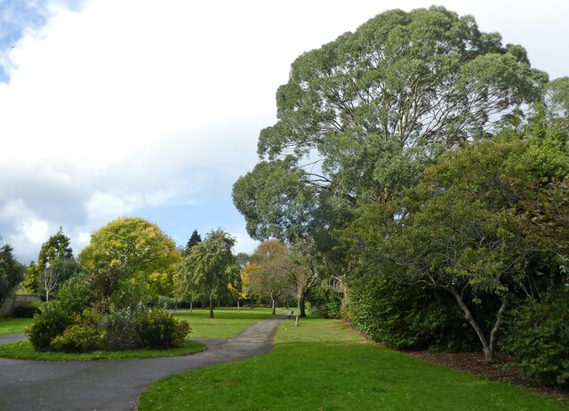
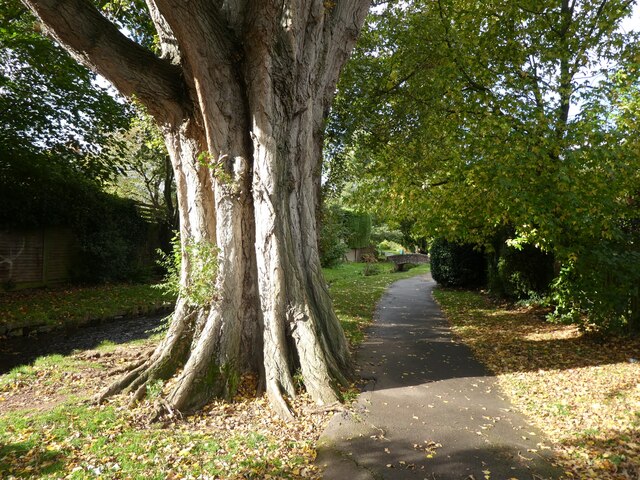
Moor Wood is a picturesque woodland located in Somerset, England. Spanning an area of approximately 100 acres, it is nestled in the beautiful countryside and offers a tranquil escape from the hustle and bustle of city life.
The wood is known for its diverse ecosystem, featuring a mix of broadleaf trees such as oak, beech, and ash. These towering giants create a dense canopy that provides shelter and habitat for a wide variety of wildlife. Visitors to Moor Wood can expect to encounter a rich array of flora and fauna, including birds, mammals, and insects.
The woodland is crisscrossed by several well-maintained paths, making it accessible to walkers and nature enthusiasts of all ages. These paths wind their way through the wood, allowing visitors to explore its hidden corners and discover the wonders it holds. Along the way, one can expect to stumble upon babbling brooks, wildflower meadows, and ancient stone walls, adding to the charm and character of the wood.
Moor Wood is a popular destination for nature lovers, hikers, and photographers, who are drawn to its natural beauty and tranquility. It offers a peaceful retreat, providing a space to connect with nature and recharge. Whether it's a leisurely stroll, a picnic, or birdwatching, the wood offers something for everyone.
Managed by a local conservation group, Moor Wood is committed to preserving its natural heritage and promoting sustainable practices. The wood is open to the public throughout the year, with visitor facilities including parking and information boards available at the entrance. A visit to Moor Wood promises an enchanting experience, immersing visitors in the wonders of the natural world.
If you have any feedback on the listing, please let us know in the comments section below.
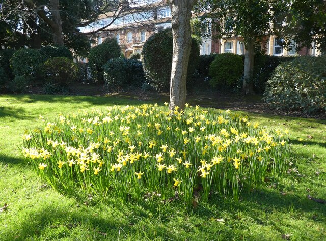
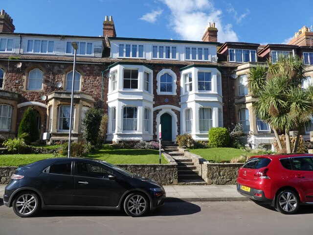
Moor Wood Images
Images are sourced within 2km of 51.214803/-3.4919297 or Grid Reference SS9547. Thanks to Geograph Open Source API. All images are credited.


Moor Wood is located at Grid Ref: SS9547 (Lat: 51.214803, Lng: -3.4919297)
Administrative County: Somerset
District: Somerset West and Taunton
Police Authority: Avon and Somerset
What 3 Words
///mentioned.bikes.cookie. Near Minehead, Somerset
Nearby Locations
Related Wikis

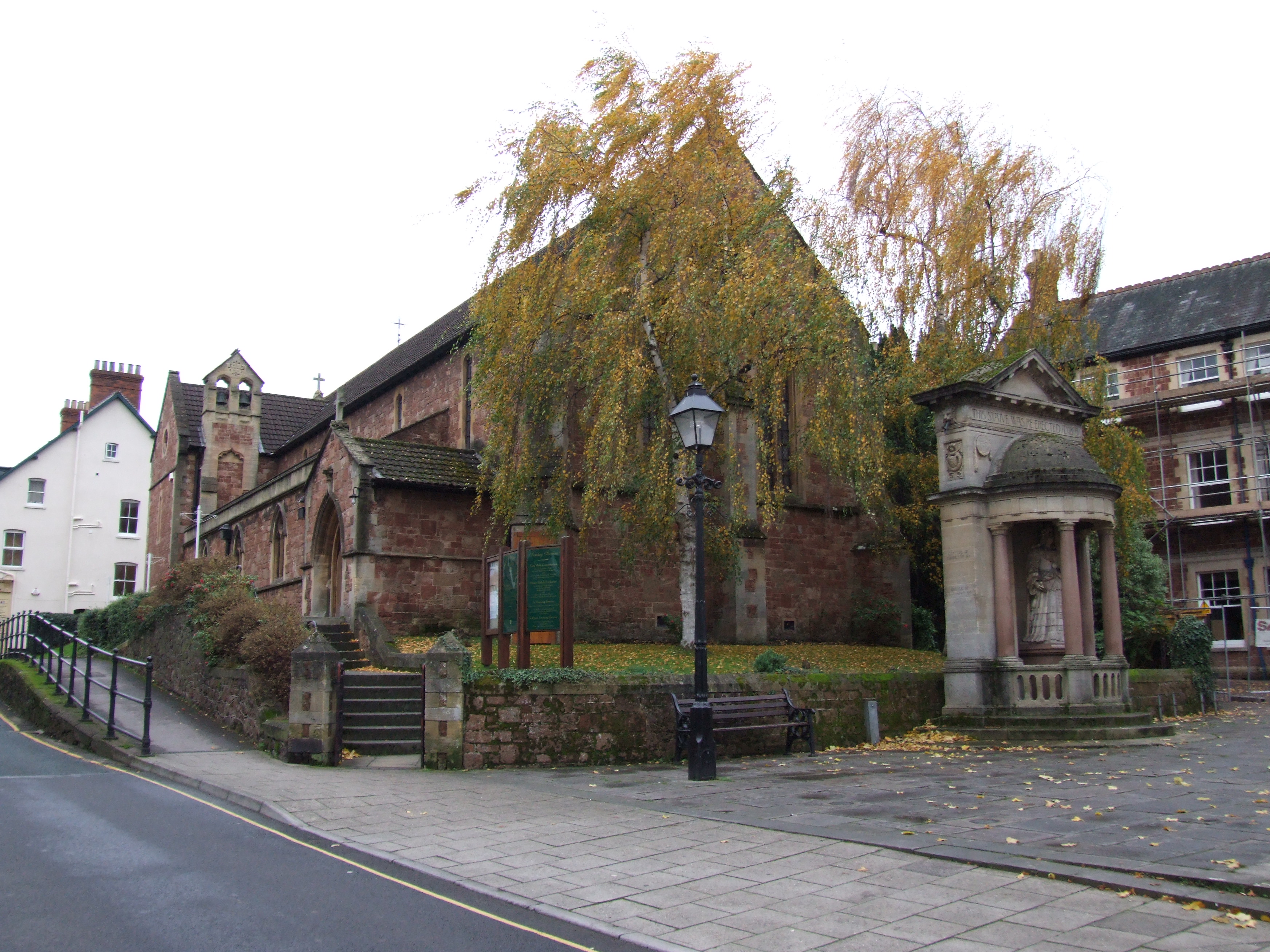
Church of St Michael, Minehead
The Anglican Church of St Michael in Minehead, Somerset, England was built in the 15th century. It is a Grade II* listed building. == History == The church...
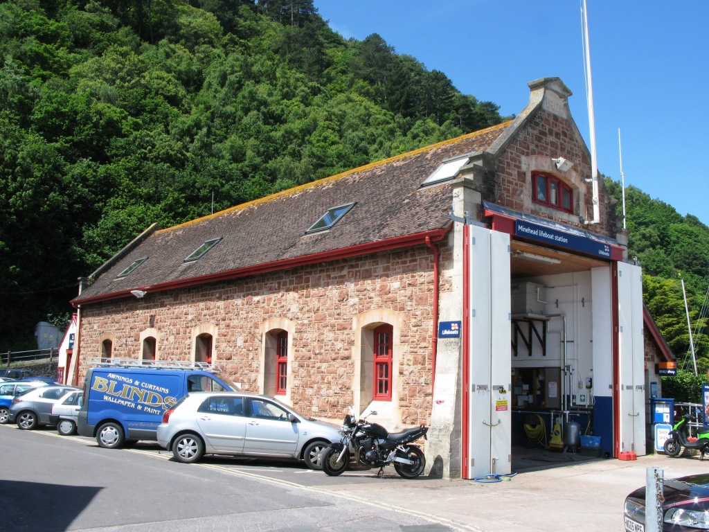
Minehead Lifeboat Station
Minehead Lifeboat Station is the base for Royal National Lifeboat Institution (RNLI) search and rescue operations at Minehead, Somerset in England. The...

South West Coast Path
The South West Coast Path is England's longest waymarked long-distance footpath and a National Trail. It stretches for 630 miles (1,014 km), running from...

Minehead Town Hall
Minehead Town Hall is a municipal building in The Parade, Minehead, Somerset, England. The structure, which is the meeting place of Minehead Town Council...

Statue of Queen Anne, Minehead
The Statue of Queen Anne in Minehead, Somerset, England was built in 1719. It is a Grade II* listed building. == History == The statue depicts Queen Anne...
St Andrew's Church, Minehead
St Andrew's Church is a Church of England church in Minehead, Somerset, England. Designed by George Edmund Street, it was built in 1877–80 and has been...

Bratton Court
Bratton Court in the hamlet of Bratton within the parish of Minehead Without, Somerset, England was built as a manor house, with a 14th-century open hall...

Minehead Without
Minehead Without is a civil parish in the English county of Somerset, and within the Exmoor National Park. As its name suggests, the parish covers a rural...
Related Videos

MINEHEAD | Exploring the holiday seaside town of Minehead, Somerset
Minehead is a holiday seaside town in Somerset in southwestern England. This town boasts a Butlins holiday camp, a stunning ...

Hiking 13 km on the South West Coastal Path: Minehead to Porlock
Our first day of the South West Coastal Path. We started in Minehead and headed to our first destination, Porlock. It was a gorgous ...

Butlin's Minehead Has TWO SIDES - I'm SHOCKED!
I visit Butlin's Minehead Resort in Somerset and witnessed two very different resorts! SUPPORT ME - to help me make more ...

Hiking John O’ Groats to Land’s End | Daily Vlog | Day 55
Me and Di (my girlfriend) are hiking from John O' Groats to Land's End and wild camping all the way. This is a daily vlog of our ...
Nearby Amenities
Located within 500m of 51.214803,-3.4919297Have you been to Moor Wood?
Leave your review of Moor Wood below (or comments, questions and feedback).