Clare
Settlement in Suffolk West Suffolk
England
Clare

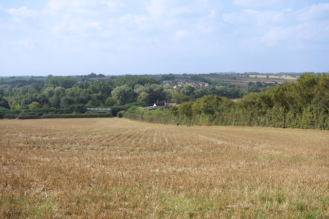
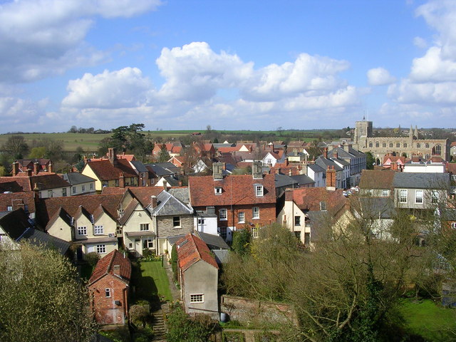
Clare is a small town located in Suffolk, England. Situated on the banks of the River Stour, it is surrounded by picturesque countryside and rolling hills, making it an idyllic rural retreat. With a population of around 2,500, Clare has managed to retain its small-town charm and historical character.
The town has a rich history dating back to the 11th century, with many of its medieval buildings still standing today. One of the most notable landmarks is Clare Castle, a motte-and-bailey fortification built shortly after the Norman Conquest. Visitors can explore the castle ruins and enjoy panoramic views of the town from the top of the motte.
In addition to its historical attractions, Clare is also known for its thriving arts scene. The town is home to a number of art galleries, showcasing the work of local artists and craftsmen. There are also regular art exhibitions and events held throughout the year, attracting visitors from far and wide.
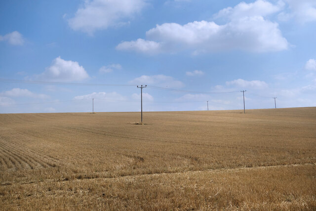
For nature enthusiasts, Clare offers plenty of outdoor activities. The River Stour provides opportunities for boating, fishing, and riverside walks. The surrounding countryside is crisscrossed with footpaths and bridleways, making it a great destination for hikers and cyclists.
Clare is also known for its charming shops and quaint tea rooms, offering a range of local produce and handmade crafts. The town hosts a weekly market, where visitors can browse stalls selling fresh produce, antiques, and artisanal goods.
Overall, Clare is a picturesque and historically significant town, offering a tranquil escape from the hustle and bustle of city life.
If you have any feedback on the listing, please let us know in the comments section below.
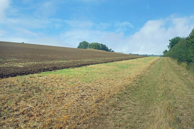
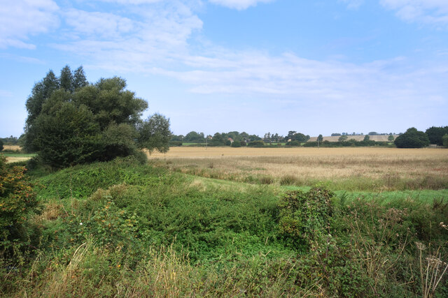
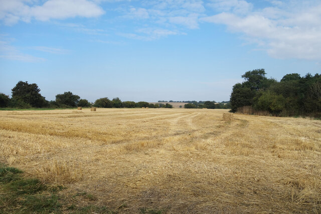
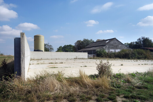
Clare Images
Images are sourced within 2km of 52.07851/0.58113997 or Grid Reference TL7645. Thanks to Geograph Open Source API. All images are credited.


Clare is located at Grid Ref: TL7645 (Lat: 52.07851, Lng: 0.58113997)
Administrative County: Suffolk
District: West Suffolk
Police Authority: Suffolk
What 3 Words
///swept.quicksand.cheat. Near Clare, Suffolk
Nearby Locations
Related Wikis
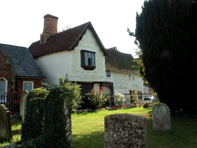
Ancient House, Clare
The Ancient House is a medieval timber-framed and partly pargeted building located in Clare in Suffolk, England. It is a Grade I listed building. ��2...
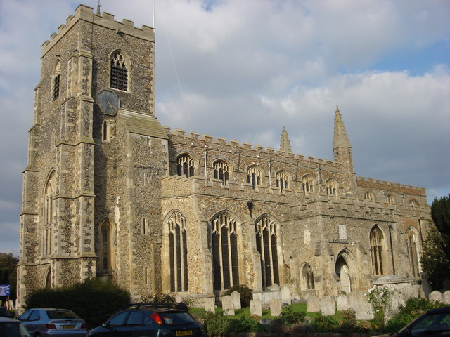
St Peter and St Paul's Church, Clare
St Peter and St Paul's Church, Clare is a Grade I listed parish church in the Church of England in Clare, Suffolk. It is one of the largest and most beautiful...
Clare, Suffolk
Clare is a market town on the north bank of the River Stour in Suffolk, England. Clare is in southwest Suffolk, 14 miles (23 km) from Bury St Edmunds and...

Clare Castle
Clare Castle is a high-mounted ruinous medieval castle in the parish and former manor of Clare in Suffolk, England, anciently the caput of a feudal barony...

Clare Castle Country Park
Clare Castle Country Park in Suffolk, England, was created around the ruins of Clare Castle and incorporates the now defunct Clare railway station on the...
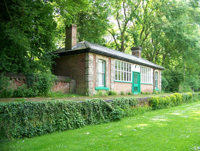
Clare railway station
Clare railway station was a station that served the village of Clare in Suffolk, England. It opened in 1865 on the Stour Valley Railway between Sudbury...

Clare Priory
Clare Priory is a religious house in England, originally established in 1248 as the first house of the Augustinian Friars in England. It is situated on...

Stour Valley Community School
Stour Valley Community School is a coeducational free school for pupils aged 11 to 16 in Clare in the English county of Suffolk. It opened in September...
Nearby Amenities
Located within 500m of 52.07851,0.58113997Have you been to Clare?
Leave your review of Clare below (or comments, questions and feedback).