Clare Camp
Heritage Site in Suffolk West Suffolk
England
Clare Camp

Clare Camp, located in Suffolk, England, is a significant heritage site that holds historical and cultural significance. Dating back to the 11th century, Clare Camp is a motte and bailey castle, built during the Norman Conquest by Richard Fitz Gilbert. It was strategically constructed to control the surrounding area and protect the town of Clare.
The castle occupies an elevated position on a motte, which is a man-made mound, offering panoramic views of the surrounding countryside. The bailey, a large enclosed courtyard, was located at the base of the motte and provided additional defense for the castle. The site also includes a series of ditches and banks, which further fortified the castle.
Throughout its history, Clare Camp played a crucial role in various conflicts, including the English Civil War, when it was used as a military base. Over the years, the castle underwent several renovations and expansions, reflecting the changing needs and architectural styles of the time.
Today, Clare Camp stands as a well-preserved heritage site and serves as a tourist attraction. Visitors can explore the remains of the castle and learn about its history through informational displays and guided tours. The site offers a fascinating glimpse into medieval life and military architecture, showcasing the ingenuity and skill of the builders. With its picturesque setting and historical significance, Clare Camp in Suffolk is a must-visit destination for history enthusiasts and those interested in exploring England's rich past.
If you have any feedback on the listing, please let us know in the comments section below.
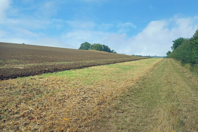
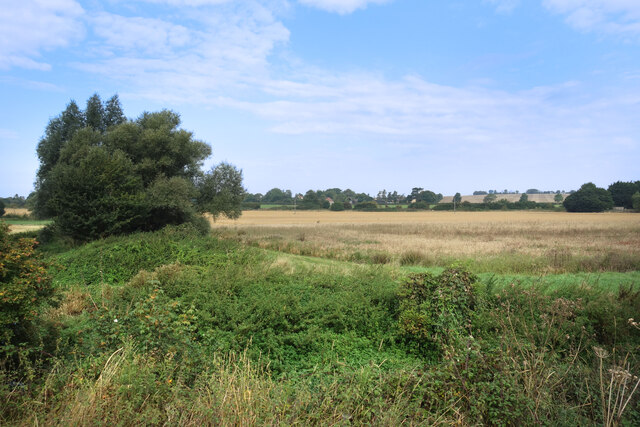
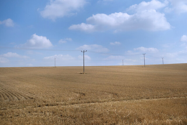
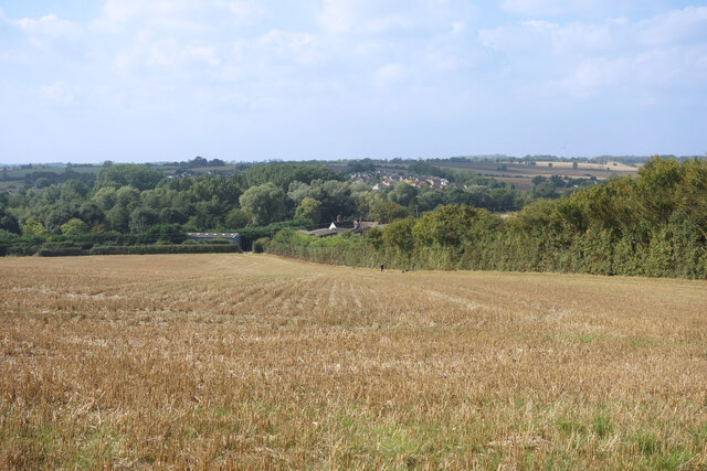
Clare Camp Images
Images are sourced within 2km of 52.08/0.575 or Grid Reference TL7645. Thanks to Geograph Open Source API. All images are credited.


Clare Camp is located at Grid Ref: TL7645 (Lat: 52.08, Lng: 0.575)
Administrative County: Suffolk
District: West Suffolk
Police Authority: Suffolk
What 3 Words
///broccoli.skies.submits. Near Clare, Suffolk
Nearby Locations
Related Wikis
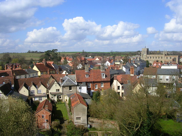
Clare, Suffolk
Clare is a market town on the north bank of the River Stour in Suffolk, England. Clare is in southwest Suffolk, 14 miles (23 km) from Bury St Edmunds and...
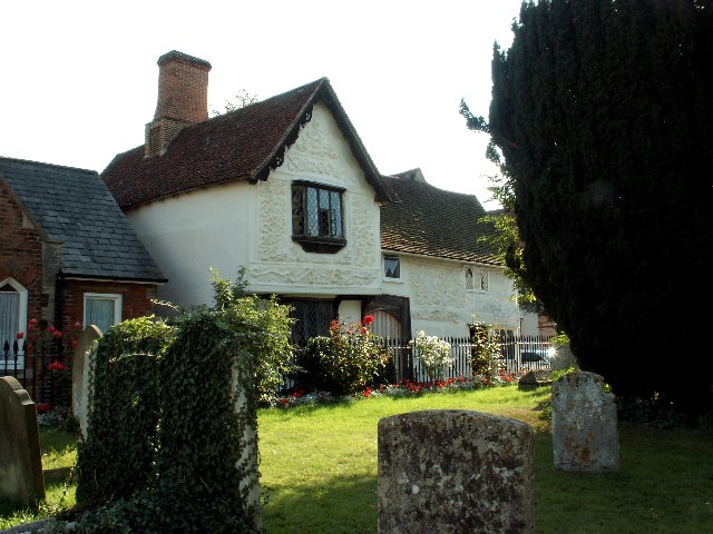
Ancient House, Clare
The Ancient House is a medieval timber-framed and partly pargeted building located in Clare in Suffolk, England. It is a Grade I listed building. ��2...
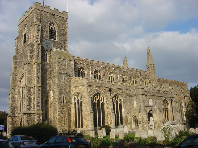
St Peter and St Paul's Church, Clare
St Peter and St Paul's Church, Clare is a Grade I listed parish church in the Church of England in Clare, Suffolk. It is one of the largest and most beautiful...

Clare Castle
Clare Castle is a high-mounted ruinous medieval castle in the parish and former manor of Clare in Suffolk, England, anciently the caput of a feudal barony...
Nearby Amenities
Located within 500m of 52.08,0.575Have you been to Clare Camp?
Leave your review of Clare Camp below (or comments, questions and feedback).