Franklin's Plantation
Wood, Forest in Devon East Devon
England
Franklin's Plantation

Franklin's Plantation, located in Devon, England, is a picturesque estate nestled within a dense woodland area known as the Franklin Forest. The plantation spans over several acres and is renowned for its natural beauty and historical significance. The estate is privately owned and has been meticulously maintained for generations.
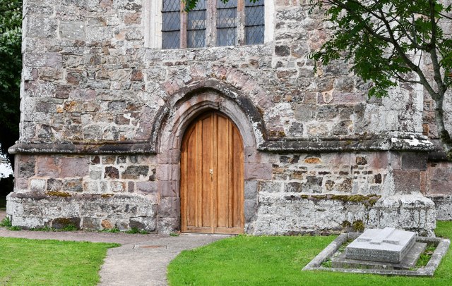
The centerpiece of Franklin's Plantation is the elegant country house, a stunning example of Georgian architecture. The house features a symmetrical facade, grand entrance hall, and spacious rooms adorned with period furnishings and artwork. Surrounding the house are meticulously manicured gardens, with vibrant flower beds, neatly trimmed hedges, and a tranquil pond.
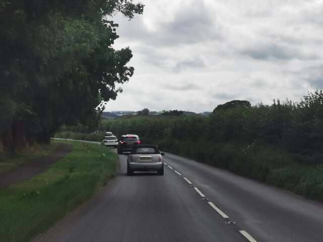
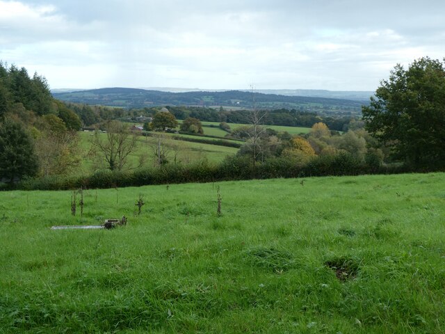
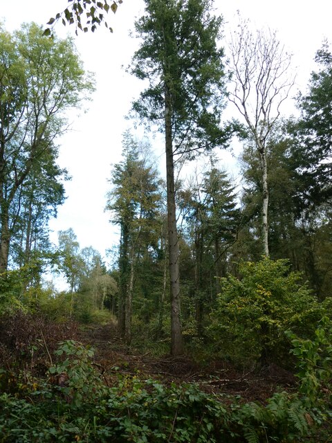
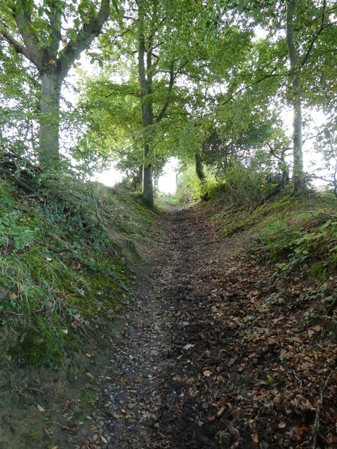
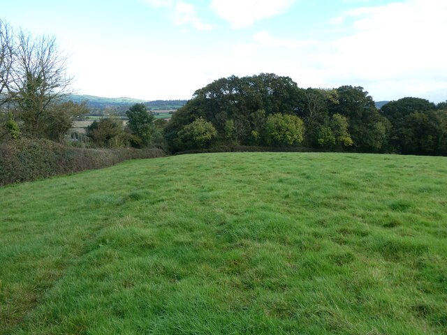
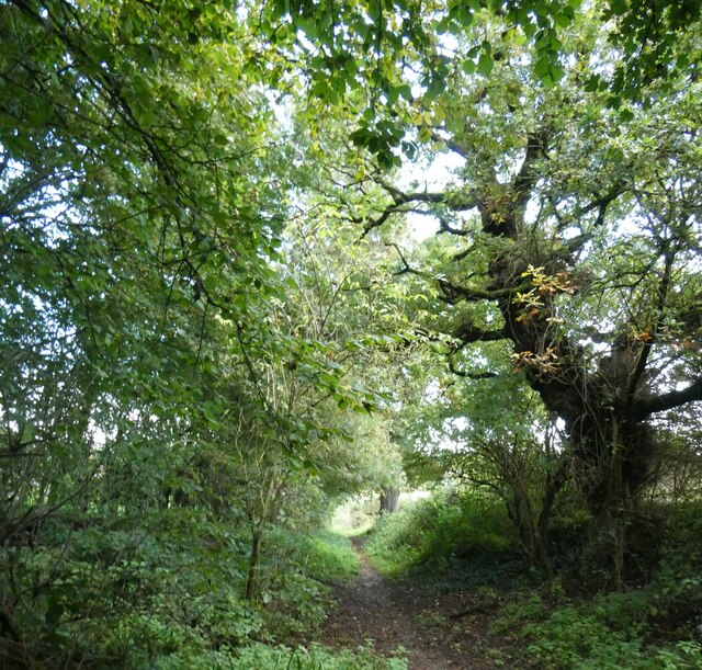
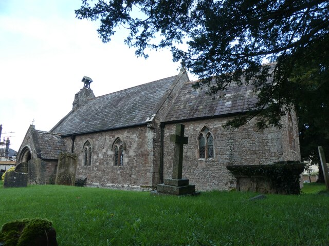
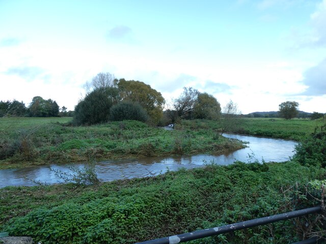
The Franklin Forest, which engulfs the plantation, is a captivating woodland comprising a variety of tree species, including oak, beech, and ash. The forest is rich in biodiversity, providing a habitat for numerous animal and bird species. Nature enthusiasts can explore the forest along well-maintained walking trails, immersing themselves in the serene ambiance and discovering hidden gems like a small waterfall and ancient stone ruins.
The plantation also boasts a working farm, where livestock such as sheep and cows graze on verdant pastures. Visitors can observe the daily operations of the farm, learn about traditional farming techniques, and even partake in activities such as milking cows or herding sheep.
Franklin's Plantation offers a unique blend of natural beauty, historical charm, and rural activities, making it a popular destination for tourists seeking an authentic English countryside experience.
If you have any feedback on the listing, please let us know in the comments section below.
Franklin's Plantation Images
Images are sourced within 2km of 50.761759/-3.4878079 or Grid Reference SX9596. Thanks to Geograph Open Source API. All images are credited.
Franklin's Plantation is located at Grid Ref: SX9596 (Lat: 50.761759, Lng: -3.4878079)
Administrative County: Devon
District: East Devon
Police Authority: Devon and Cornwall
What 3 Words
///knocking.disband.clubbing. Near Heavitree, Devon
Nearby Locations
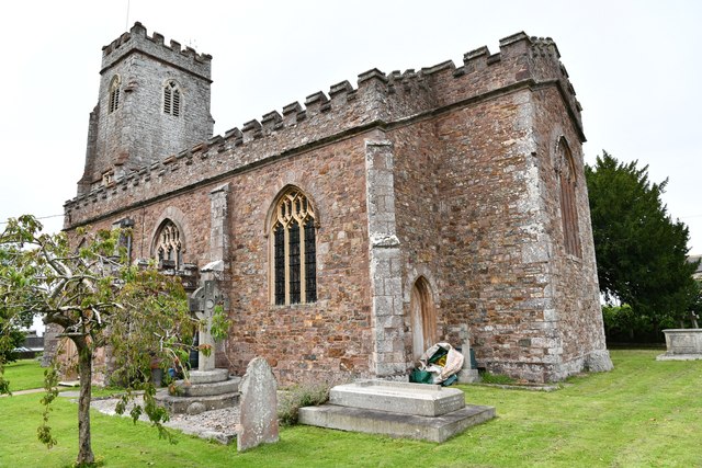
Related Wikis
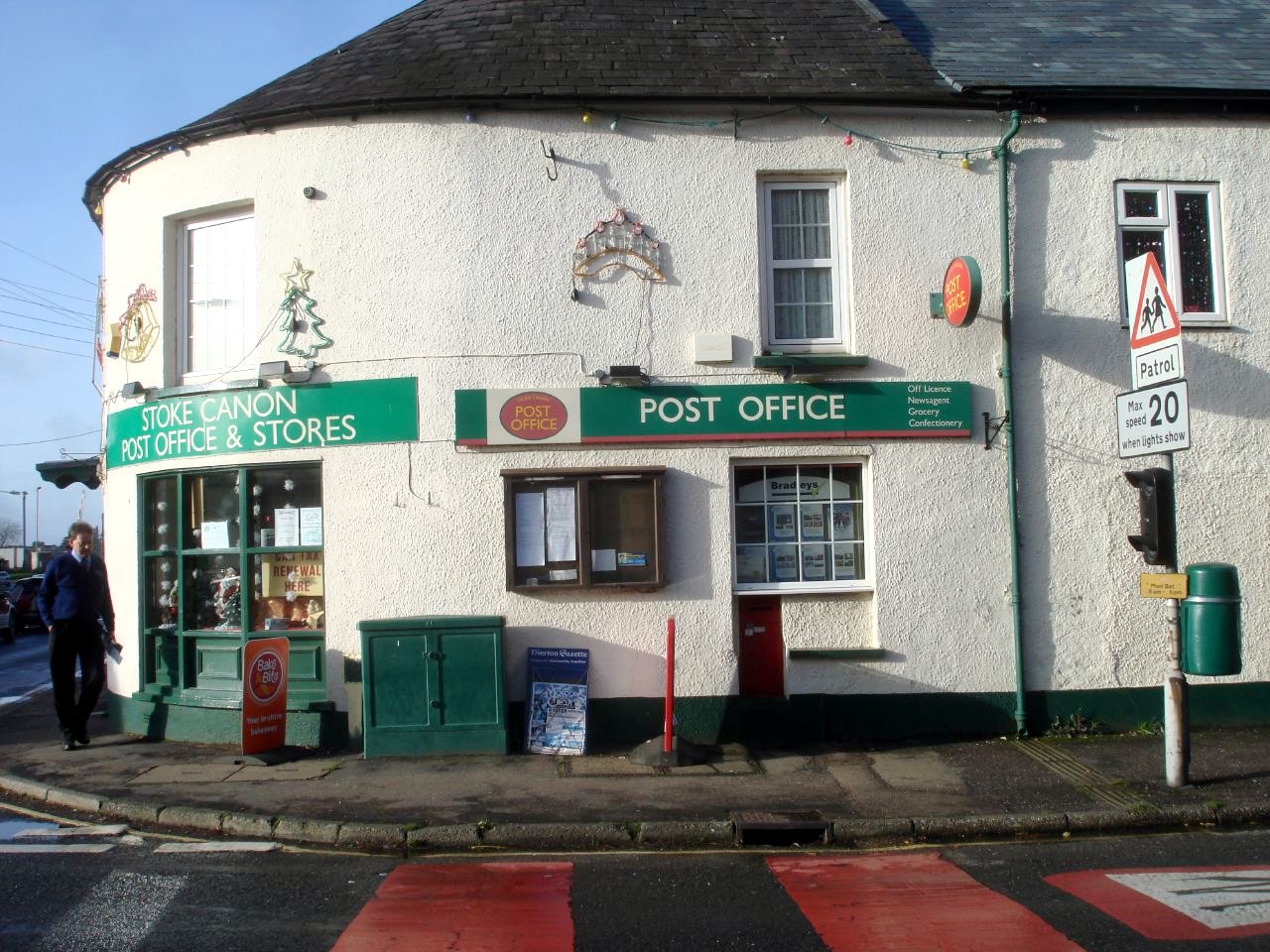
Stoke Canon
Stoke Canon is a small village and civil parish near the confluence of the rivers Exe and Culm on the main A396 between Exeter and Tiverton in the English...

Huxham
Huxham is a hamlet and civil parish in the county of Devon, England and the district of East Devon and lies about 3 miles from Exeter. The parish has an...

Poltimore
Poltimore is a village, civil parish and former manor in the East Devon district, in the county of Devon, England. It lies approximately 5 miles (8.0 km...

Poltimore House
Poltimore House is an 18th-century country house in Poltimore, Devon, England. The Manor of Poltimore was from the 13th to the 20th century the seat of...

River Culm
The River Culm flows through the Devon Redlands in Devon, England and is the longest tributary of the River Exe. It rises in the Blackdown Hills at a spring...

Battle of Pinhoe
The Battle of Pinhoe was a battle between the Danes and the men of Devon and Somerset at Pinhoe, Devon. == The battle == In 1001, Vikings laid siege to...

Rewe, Devon
Rewe is a village and civil parish in the county of Devon in England. It lies on the river Culm, 5 miles (8 km) north of the city of Exeter and 9 miles...

Pinhoe
Pinhoe is a former village, manor and ecclesiastical parish, now a suburb on the north eastern outskirts of the City of Exeter in the English county of...
Nearby Amenities
Located within 500m of 50.761759,-3.4878079Have you been to Franklin's Plantation?
Leave your review of Franklin's Plantation below (or comments, questions and feedback).