Haddon Wood
Wood, Forest in Somerset Somerset West and Taunton
England
Haddon Wood

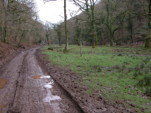
Haddon Wood is a picturesque woodland located in Somerset, England. Situated in the idyllic countryside, this forest covers an area of approximately 200 acres. It is renowned for its natural beauty and diverse ecosystem, attracting nature enthusiasts and visitors alike.
The wood features a mix of native tree species, including oak, beech, ash, and birch, which create a vibrant and lush canopy overhead. The forest floor boasts an array of wildflowers, ferns, and mosses, adding to its enchanting appeal. Haddon Wood is also home to an abundance of wildlife, such as deer, foxes, badgers, and a variety of bird species. Birdwatchers can spot woodpeckers, owls, and jays in their natural habitat.
Visitors to Haddon Wood can explore its numerous walking trails, which wind through the forest, offering a tranquil and peaceful escape from the hustle and bustle of everyday life. The paths are well-maintained, making it accessible for all ages and abilities. Along the way, there are benches strategically placed for individuals to sit and enjoy the serene surroundings.
The woodland is managed by a dedicated team of conservationists, ensuring the preservation of its natural heritage. Regular conservation events and workshops are organized to engage the local community and raise awareness about the importance of protecting this precious woodland habitat.
In summary, Haddon Wood is a captivating forest in Somerset, offering visitors a chance to immerse themselves in nature and experience the beauty of the natural world. With its diverse flora and fauna, well-maintained trails, and commitment to conservation, it is a must-visit destination for those seeking peace and tranquility in a stunning woodland setting.
If you have any feedback on the listing, please let us know in the comments section below.
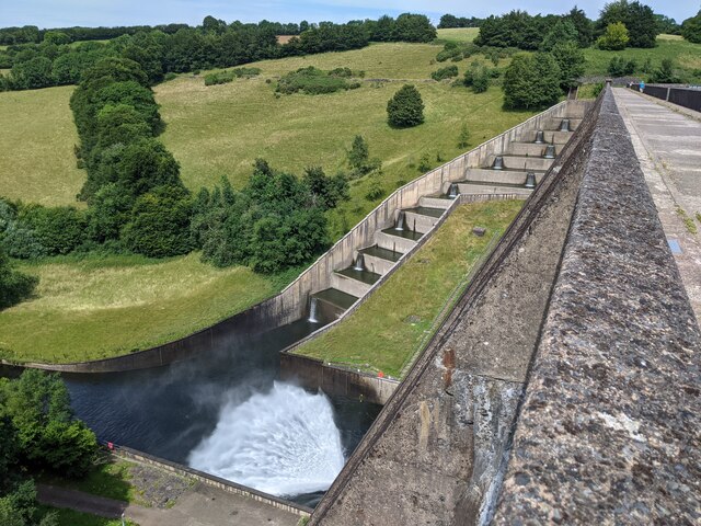
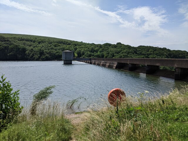
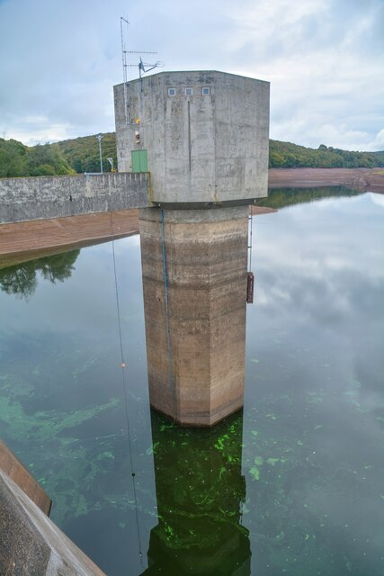
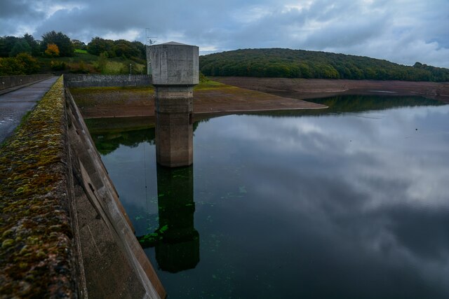
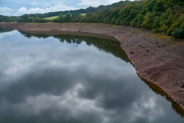
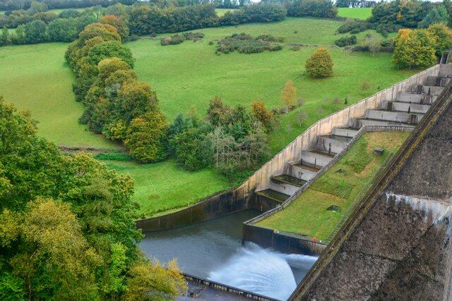
Haddon Wood Images
Images are sourced within 2km of 51.050295/-3.5007892 or Grid Reference SS9428. Thanks to Geograph Open Source API. All images are credited.


Haddon Wood is located at Grid Ref: SS9428 (Lat: 51.050295, Lng: -3.5007892)
Administrative County: Somerset
District: Somerset West and Taunton
Police Authority: Avon and Somerset
What 3 Words
///daring.twitches.receive. Near Dulverton, Somerset
Nearby Locations
Related Wikis

Haddon Hill
Haddon Hill is a prominent east–west aligned ridge in west Somerset, England, close to Hartford within the civil parish of Brompton Regis. It lies on the...

Bury Bridge
Bury Bridge at Bury in the parish of Brompton Regis within the English county of Somerset is a medieval packhorse bridge. It has been scheduled as an ancient...

Bury Castle, Brompton Regis
Bury Castle near Brompton Regis in the English county of Somerset was an Iron Age univallate hillfort which was reused with the creation of a motte after...

Barlynch Priory
Barlynch Priory (also known as St Nicholas's Priory and sometimes spelled Barlich Priory) in Brompton Regis, Somerset, England was an Augustinian priory...

Church of St Mary, Brompton Regis
The Anglican Church of St Mary in Brompton Regis, Somerset, England was built in the 13th century. It is a Grade II* listed building. == History == The...

Brompton Regis
Brompton Regis (formerly known as Kingsbrompton) is a village and civil parish in the Somerset West and Taunton district of Somerset, England about 5 miles...

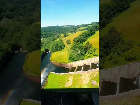
River Haddeo
The River Haddeo on Exmoor in Somerset, England flows from the Wimbleball Lake to the River Exe. The valley of the river consists of three tributary valleys...
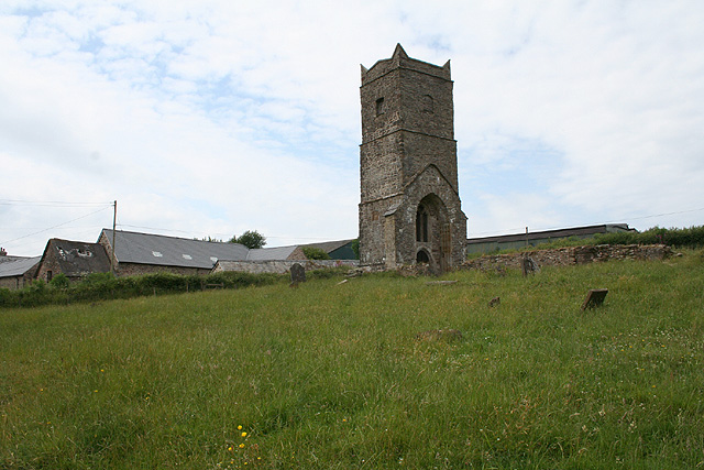
Old Church of St James, Upton
The Old St James's Church is a former church in the village of Upton, Somerset, England, of which only the tower remains, overlooking Wimbleball Lake....
Related Videos

A serene view and lots of fun activities to do at the Wimbleball Lake 🛶🚣♂️
travel #summer2022 #kayaking #canoeing #boating #lakeview #camping.


Failed Sunday Trip......HAD TO RETURN on the Monday
join me on Haddon hill on exmoor national park, overlooking Wimbleball lake, a failed trip Sunday due to an absolute white out ...
Nearby Amenities
Located within 500m of 51.050295,-3.5007892Have you been to Haddon Wood?
Leave your review of Haddon Wood below (or comments, questions and feedback).