Hartford Bottom
Valley in Somerset Somerset West and Taunton
England
Hartford Bottom
Hartford Bottom, Somerset, also known as Hartford Valley, is a picturesque rural area located in the county of Somerset in England. Situated in the heart of the Somerset Levels, this charming valley is encompassed by rolling hills, lush green pastures, and meandering waterways.
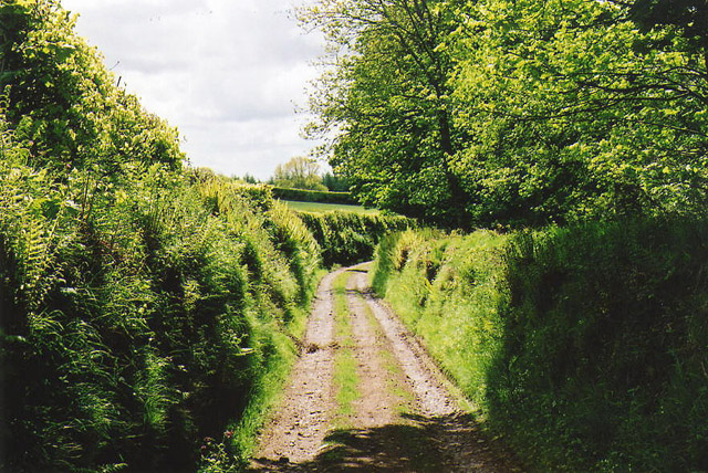
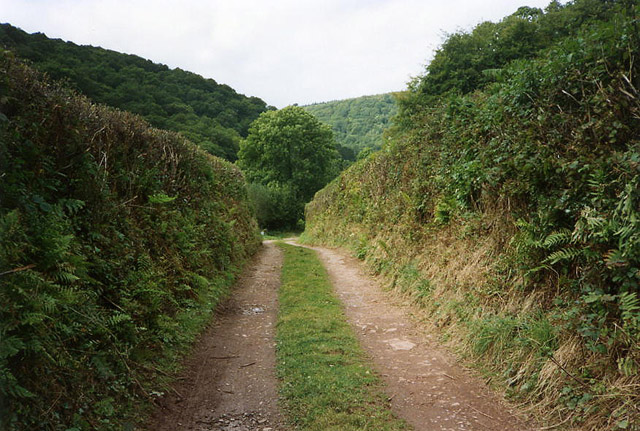
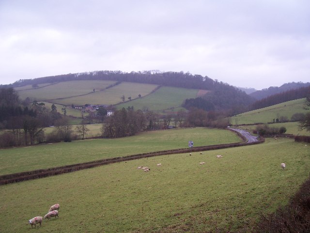
Covering an area of approximately 10 square miles, Hartford Bottom is a tranquil and idyllic location that offers a serene escape from the hustle and bustle of city life. The valley is renowned for its stunning natural beauty, with its verdant landscapes and abundance of wildlife.
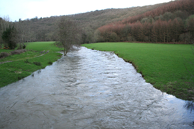
The main feature of Hartford Bottom is the River Parrett, which flows through the valley, creating a scenic and peaceful atmosphere. The river is an integral part of the area's history and has played a significant role in shaping the landscape over the centuries.
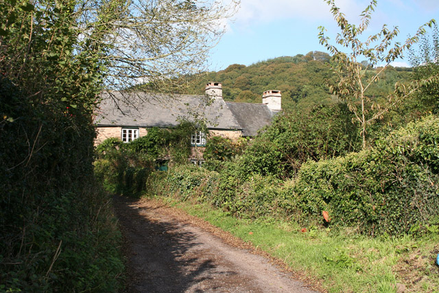
The valley is also dotted with charming villages and hamlets, each boasting their own unique character and charm. These settlements are predominantly comprised of traditional stone cottages and farmhouses, giving the area a timeless and quintessentially English feel.
Hartford Bottom is a haven for nature enthusiasts and outdoor lovers, as it offers a plethora of opportunities for activities such as walking, cycling, and birdwatching. The area is home to several nature reserves and wetlands, including the renowned Somerset Wildlife Trust's Swell Wood Nature Reserve, which attracts a rich variety of bird species.
Overall, Hartford Bottom, Somerset is a hidden gem that showcases the natural beauty and rural charm that Somerset has to offer. Whether you're seeking tranquility, a connection with nature, or simply a break from the fast-paced world, this valley provides the perfect setting.
If you have any feedback on the listing, please let us know in the comments section below.
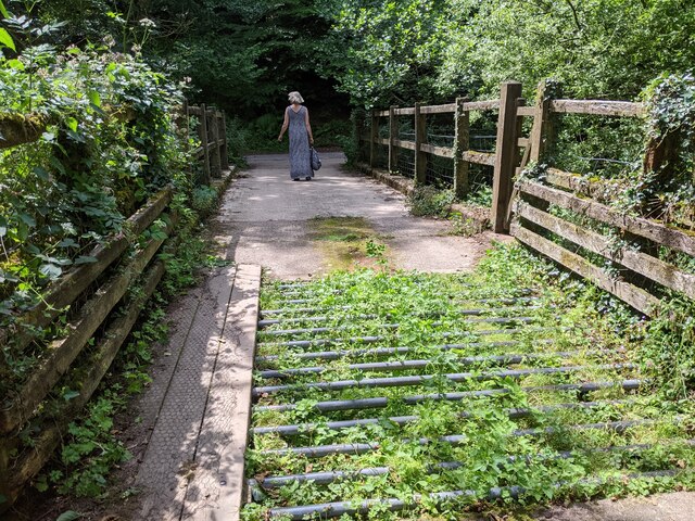
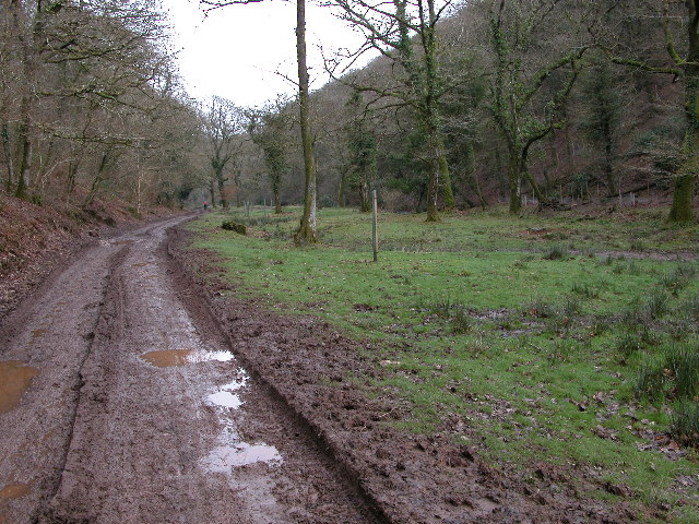
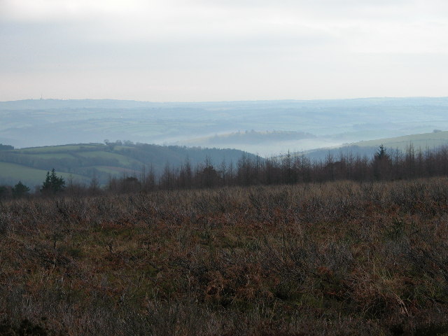
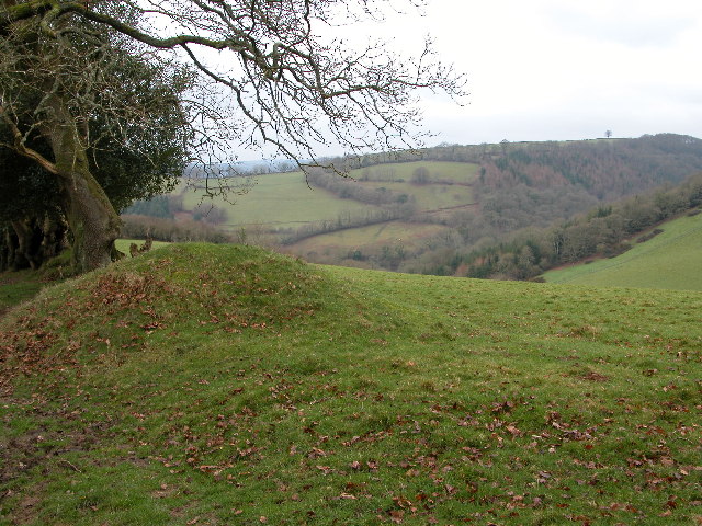
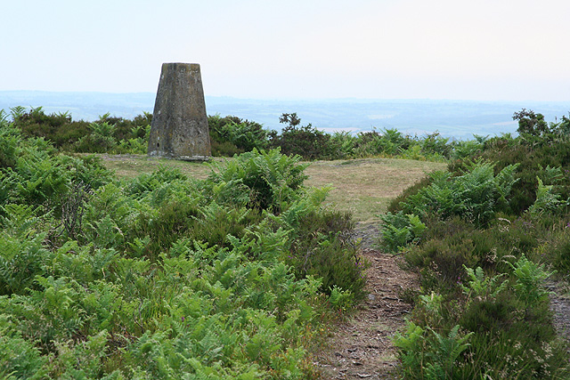
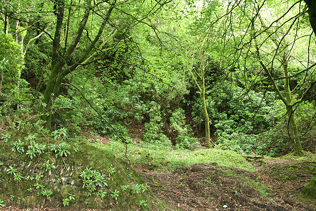
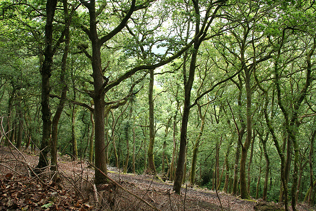
Hartford Bottom Images
Images are sourced within 2km of 51.046948/-3.5092835 or Grid Reference SS9428. Thanks to Geograph Open Source API. All images are credited.


Hartford Bottom is located at Grid Ref: SS9428 (Lat: 51.046948, Lng: -3.5092835)
Administrative County: Somerset
District: Somerset West and Taunton
Police Authority: Avon and Somerset
What 3 Words
///strength.eliminate.riots. Near Dulverton, Somerset
Nearby Locations
Related Wikis

Bury Bridge
Bury Bridge at Bury in the parish of Brompton Regis within the English county of Somerset is a medieval packhorse bridge. It has been scheduled as an ancient...

Barlynch Priory
Barlynch Priory (also known as St Nicholas's Priory and sometimes spelled Barlich Priory) in Brompton Regis, Somerset, England was an Augustinian priory...

Bury Castle, Brompton Regis
Bury Castle near Brompton Regis in the English county of Somerset was an Iron Age univallate hillfort which was reused with the creation of a motte after...

Haddon Hill
Haddon Hill is a prominent east–west aligned ridge in west Somerset, England, close to Hartford within the civil parish of Brompton Regis. It lies on the...

River Haddeo
The River Haddeo on Exmoor in Somerset, England flows from the Wimbleball Lake to the River Exe. The valley of the river consists of three tributary valleys...
Dulverton Rural District
Dulverton was a rural district in Somerset, England, from 1894 to 1974. It was created in 1894 under the Local Government Act 1894. In 1974 it was abolished...

Dulverton
Dulverton is a town and civil parish in west Somerset, England, near the border with Devon. The town had a population of 1,408 at the 2011 Census. The...

Church of All Saints, Dulverton
The Anglican Church of All Saints in Dulverton, Somerset, England was built in the 15th century and largely rebuilt in the 1850s. It is a Grade II* listed...
Nearby Amenities
Located within 500m of 51.046948,-3.5092835Have you been to Hartford Bottom?
Leave your review of Hartford Bottom below (or comments, questions and feedback).