Claypit Plantation

Wood, Forest in Somerset Somerset West and Taunton

England

Claypit Plantation

Ordnance Survey Cut Mark This OS cut mark can be found on the wall of the old rectory. It marks a point 117.433m above mean sea level.
Ordnance Survey Cut Mark Credit: Adrian Dust

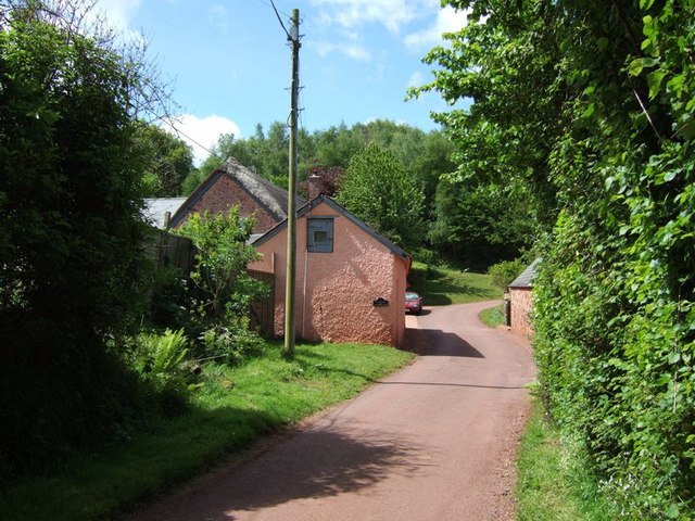
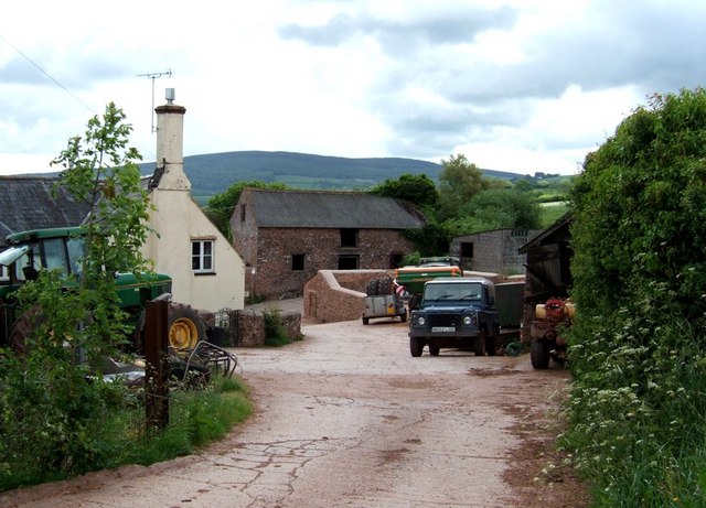
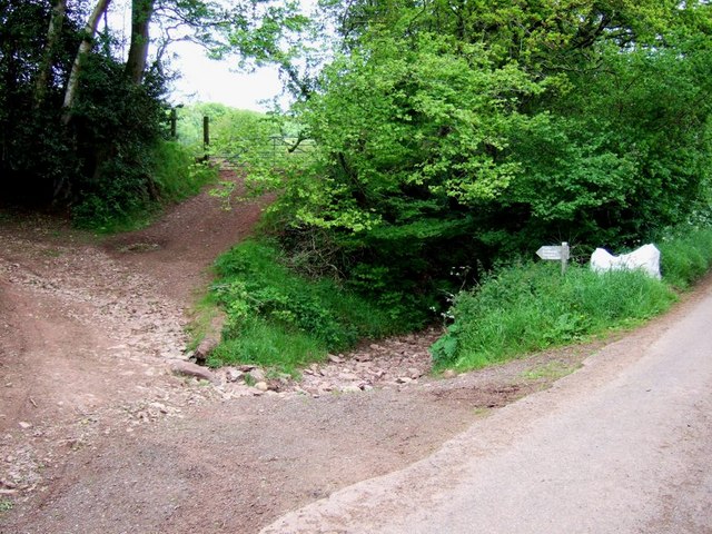
Claypit Plantation is a picturesque woodland located in Somerset, England. Situated near the village of Wood, the plantation covers an area of approximately 100 acres and is known for its diverse range of plant and animal species.

The plantation is predominantly made up of deciduous trees such as oak, beech, and ash, which create a rich and vibrant canopy during the summer months. These trees provide a habitat for a variety of wildlife, including squirrels, deer, and numerous bird species. Visitors to the plantation can often spot these animals as they explore the woodland trails.

One of the notable features of Claypit Plantation is its ancient clay pits, from which the name of the plantation is derived. These pits, now filled with water, were once used for extracting clay for pottery and brick-making purposes. Today, they serve as a natural water feature, adding to the charm of the woodland.

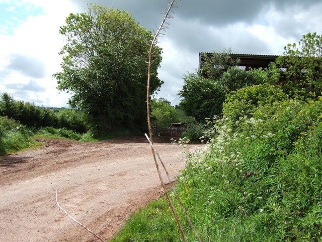
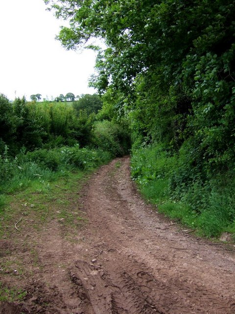
The plantation is a popular destination for nature enthusiasts, hikers, and families looking to enjoy a day out in the countryside. It offers a network of well-maintained trails, allowing visitors to explore the woodland at their own pace. Additionally, there are designated picnic areas and benches where visitors can relax and take in the tranquil surroundings.

Managed by a local conservation organization, Claypit Plantation is dedicated to preserving the natural beauty of the woodland and promoting environmental education. Regular events and workshops are organized to raise awareness about the importance of conservation and to engage the local community in the protection of this unique ecosystem.

Overall, Claypit Plantation in Somerset stands as a testament to the natural beauty of the region, offering both a haven for wildlife and a sanctuary for visitors seeking solace in nature.

If you have any feedback on the listing, please let us know in the comments section below.

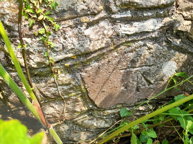
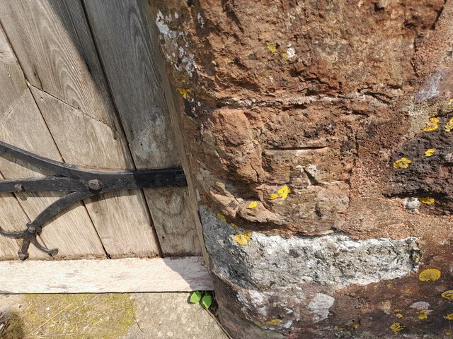
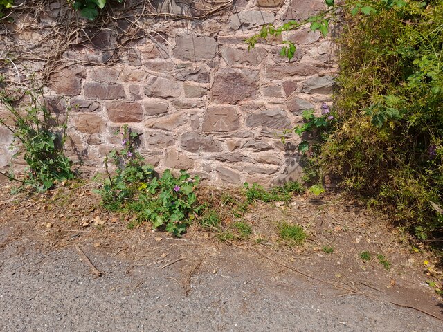
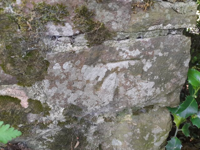
Claypit Plantation Images

Images are sourced within 2km of 51.170347/-3.5126801 or Grid Reference SS9442. Thanks to Geograph Open Source API. All images are credited.

Ordnance Survey Cut Mark This OS cut mark can be found on the wall of the old rectory. It marks a point 117.433m above mean sea level.
Ordnance Survey Cut Mark
This OS cut mark can be found on the wall of the old rectory. It marks a point 117.433m above mean sea level.
Ordnance Survey Cut Mark This OS cut mark can be found on the NW angle of All Saints Church. It marks a point 129.863m above mean sea level.
Ordnance Survey Cut Mark
This OS cut mark can be found on the NW angle of All Saints Church. It marks a point 129.863m above mean sea level.
Ordnance Survey Cut Mark This OS cut mark can be found on the wall of Huntsham. It marks a point 72.713m above mean sea level.
Ordnance Survey Cut Mark
This OS cut mark can be found on the wall of Huntsham. It marks a point 72.713m above mean sea level.
Ordnance Survey Cut Mark This OS cut mark can be found on the east parapet of Cow Bridge. It marks a point 62.410m above mean sea level.
Ordnance Survey Cut Mark
This OS cut mark can be found on the east parapet of Cow Bridge. It marks a point 62.410m above mean sea level.
Ordnance Survey Flush Bracket (11195) This OS Flush Bracket can be found on the NE angle of the school house. It marks a point 77.073m above mean sea level.
Ordnance Survey Flush Bracket (11195)
This OS Flush Bracket can be found on the NE angle of the school house. It marks a point 77.073m above mean sea level.
Ordnance Survey Cut Mark This OS cut mark can be found on the SW angle of St Petrock's Church. It marks a point 81.800m above mean sea level.
Ordnance Survey Cut Mark
This OS cut mark can be found on the SW angle of St Petrock's Church. It marks a point 81.800m above mean sea level.
Wootton Courtenay, Somerset The church of All Saints
Wootton Courtenay, Somerset
The church of All Saints
Timberscombe, Somerset The church of St Petrock
Timberscombe, Somerset
The church of St Petrock
House at Cowbridge Cross. This very smart house is quietly situated on the lane to Wootton Courtenay. The sign bears testimony to the fact that a large proportion of the passing traffic has four legs.
House at Cowbridge Cross.
This very smart house is quietly situated on the lane to Wootton Courtenay. The sign bears testimony to the fact that a large proportion of the passing traffic has four legs.
Woodland Bridleway near Wootton Courtenay This photograph looks south towards Exmoor, the bridleway goes to Ranscombe Farm.
Woodland Bridleway near Wootton Courtenay
This photograph looks south towards Exmoor, the bridleway goes to Ranscombe Farm.
Trig Point above Wootton Courtenay. Coloured white to make it easy to spot amongst the trees, this trig point is at a height of 295m. Behind the photographer is a clear view towards the Bristol Channel.
Trig Point above Wootton Courtenay.
Coloured white to make it easy to spot amongst the trees, this trig point is at a height of 295m. Behind the photographer is a clear view towards the Bristol Channel.
Brockwell Farm There is a small cluster of farm buildings at Brockwell on the lane from Wootton Courtenay to Ford. The rich pink colour looks surprisingly harmonious against the verdant greenery.
Brockwell Farm
There is a small cluster of farm buildings at Brockwell on the lane from Wootton Courtenay to Ford. The rich pink colour looks surprisingly harmonious against the verdant greenery.
Cottage at Ford Coming across cottages such as this is one of the great bonuses of Geographing. Almost at the end of a dead-end lane, probably very few people ever see this beautiful example of an Exmoor cottage.
Cottage at Ford
Coming across cottages such as this is one of the great bonuses of Geographing. Almost at the end of a dead-end lane, probably very few people ever see this beautiful example of an Exmoor cottage.
Stile Down There is a large barn here and a considerable quantity of large farm machinery is parked on the verges. At this 90º bend in the lane a track (Elscombe Lane) continues on straight ahead.
Stile Down
There is a large barn here and a considerable quantity of large farm machinery is parked on the verges. At this 90º bend in the lane a track (Elscombe Lane) continues on straight ahead.
Elscombe Lane, Stile Down This track initially heads off southwards then veers more eastward as it crosses a brook. It eventually gets to Waydown Cross. I think the valley which the brook runs through is probably Elscombe giving the lane its name.
Elscombe Lane, Stile Down
This track initially heads off southwards then veers more eastward as it crosses a brook. It eventually gets to Waydown Cross. I think the valley which the brook runs through is probably Elscombe giving the lane its name.
Annicombe This is the entrance and track to the property called Annicombe which is off Spangate Lane near Stile. Beyond it is Elsworthy Allotment.
Annicombe
This is the entrance and track to the property called Annicombe which is off Spangate Lane near Stile. Beyond it is Elsworthy Allotment.
Fairgarden Farm Fairgarden Farm near Stile. This is quite an extensive farm on Exmoor. It has a lot of equipment parked along the lane between here and Stile Down.
Fairgarden Farm
Fairgarden Farm near Stile. This is quite an extensive farm on Exmoor. It has a lot of equipment parked along the lane between here and Stile Down.
Hole Cross, Stile This is a track / lane junction at Stile. The metalled lane is to the right. One track goes off to the left, this is Digland Lane (<a href="https://www.geograph.org.uk/photo/177412">SS9241 : Digland Lane</a>) which becomes Spangate Lane (<a href="https://www.geograph.org.uk/photo/177410">SS9241 : Spangate Lane</a>) a little further on (near Annicombe, see <a href="https://www.geograph.org.uk/photo/177236">SS9241 : Annicombe</a>). The little sign has a "typo" as it says "Spagate". A second track goes straight ahead into the trees, only its first few yards can be seen here (it is by the sign, not the bit leading up to the gate). This track leads through to Ford (see <a href="https://www.geograph.org.uk/photo/177345">SS9242 : Ford</a>)
Hole Cross, Stile
This is a track / lane junction at Stile. The metalled lane is to the right. One track goes off to the left, this is Digland Lane (SS9241 : Digland Lane) which becomes Spangate Lane (SS9241 : Spangate Lane) a little further on (near Annicombe, see SS9241 : Annicombe). The little sign has a "typo" as it says "Spagate". A second track goes straight ahead into the trees, only its first few yards can be seen here (it is by the sign, not the bit leading up to the gate). This track leads through to Ford (see SS9242 : Ford)
Show me another place!

Claypit Plantation is located at Grid Ref: SS9442 (Lat: 51.170347, Lng: -3.5126801)

Administrative County: Somerset

District: Somerset West and Taunton

Police Authority: Avon and Somerset

What 3 Words

///rents.lavished.dragonfly. Near Minehead, Somerset

Related Wikis

Wootton Courtenay

Wootton Courtenay is a village and civil parish on Exmoor in the Somerset West and Taunton district of Somerset, England. The parish includes the hamlets...

Dunster Park and Heathlands

Dunster Park and Heathlands (grid reference SS955441) is a 466.6 hectare biological Site of Special Scientific Interest in Somerset, notified in 2000....

Chapel of St Leonard, Tivington

The Anglican Chapel of St Leonard in Tivington, Somerset, England was built in the mid 14th century as a chapel of ease. It is a Grade II* listed building...

Church of St John, Cutcombe

The Anglican Church of St John in Cutcombe, Somerset, England was built in the 13th and 14th centuries. It is a Grade II* listed building. == History... ==

Cutcombe

Cutcombe is a village and civil parish 9 miles (14 km) south of Minehead and north of Dulverton straddling the ridge between Exmoor and the Brendon Hills...

Dovecot at Blackford Farm

The Dovecot At Blackford Farm in Selworthy on Exmoor within the English county of Somerset was probably built in the 11th century. It is a Grade II* listed...

Minehead Without

Minehead Without is a civil parish in the English county of Somerset, and within the Exmoor National Park. As its name suggests, the parish covers a rural...

Long Wood Enclosure

Long Wood Enclosure is an enclosure which may have been a univallate Iron Age hill fort, in the West Somerset district of Somerset, England. The hill fort...

Nearby Amenities

Located within 500m of 51.170347,-3.5126801
Well Farm
Landuse: farm
Note Retag: CS #48756035
Lat/Long: 51.1677977/-3.5122001
Access: yes
Barrier: stile
Foot: yes
Material: wood
Stile: stepover
Vehicle: no
Lat/Long: 51.1745313/-3.5134314
Power: pole
Lat/Long: 51.1698486/-3.5065645
Power: pole
Lat/Long: 51.1702522/-3.5080531
Power: pole
Lat/Long: 51.1707585/-3.5101023
Power: pole
Lat/Long: 51.1712125/-3.5119745
Power: pole
Lat/Long: 51.1715489/-3.5133156
Power: pole
Lat/Long: 51.171902/-3.5146272
Power: pole
Lat/Long: 51.1723292/-3.5163519
Power: pole
Lat/Long: 51.1726907/-3.5177493
Access: yes
Barrier: stile
Foot: yes
Stile: stepover
Vehicle: no
Lat/Long: 51.1731103/-3.5090603
The data included in this document is from www.openstreetmap.org. The data is made available under ODbL.

Have you been to Claypit Plantation?

Leave your review of Claypit Plantation below (or comments, questions and feedback).