Great Headon Plantation
Wood, Forest in Somerset Somerset West and Taunton
England
Great Headon Plantation
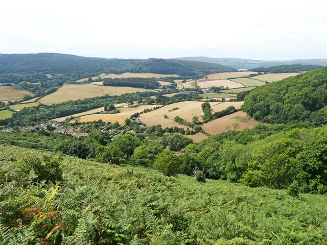
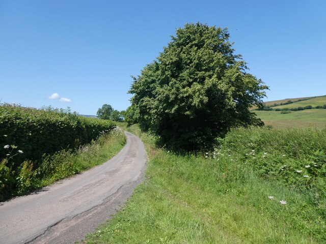
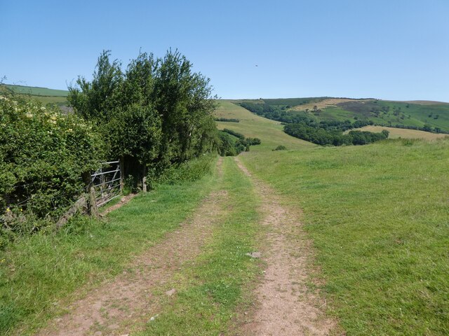
Great Headon Plantation is a picturesque woodland located in Somerset, England. Spanning over a vast area, it is a captivating destination for nature lovers and outdoor enthusiasts. The plantation is nestled within the stunning landscape of Somerset, surrounded by rolling hills and verdant meadows.
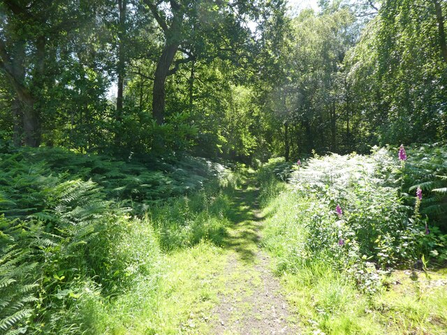
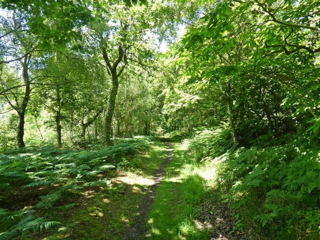
The woodland is primarily composed of a diverse range of trees, including oak, beech, and birch, creating a haven for a wide variety of flora and fauna. It boasts a rich biodiversity, with numerous bird species, mammals, and insects calling it home. Visitors can often spot deer, squirrels, and rabbits as they explore the plantation.
Great Headon Plantation offers a network of well-maintained trails and paths, providing opportunities for leisurely walks, hikes, and cycling. The paths wind through the enchanting woodland, offering glimpses of its natural beauty at every turn. Along the way, visitors can find peaceful spots to relax and soak in the tranquil atmosphere.
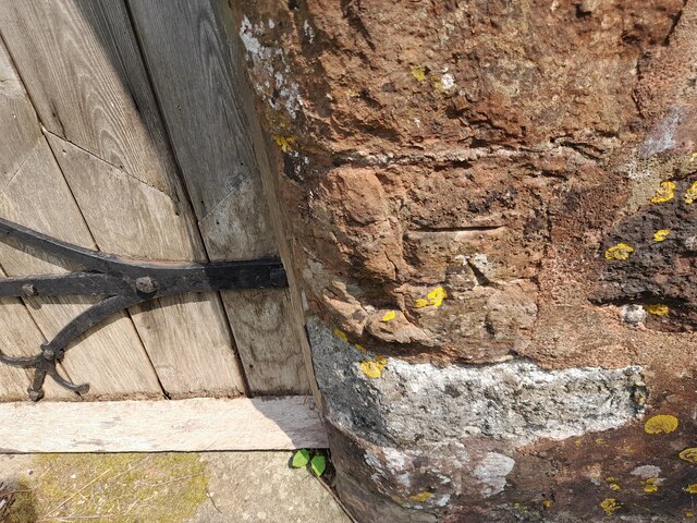
For those interested in history, Great Headon Plantation holds significant historical importance. It has witnessed the passage of time and has been a witness to centuries of human activity. The remnants of old structures and boundaries can still be seen, adding a touch of intrigue and nostalgia to the woodland.
Overall, Great Headon Plantation is a captivating woodland retreat offering a perfect blend of natural beauty, serenity, and historical significance. It is a place where visitors can escape the hustle and bustle of everyday life and immerse themselves in the tranquility of nature.
If you have any feedback on the listing, please let us know in the comments section below.
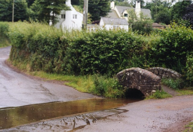
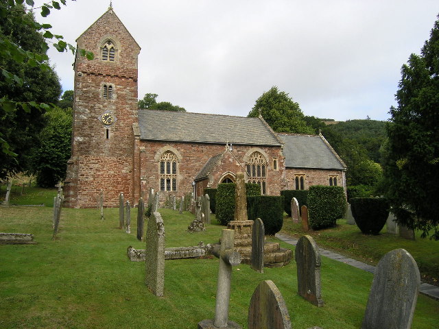
Great Headon Plantation Images
Images are sourced within 2km of 51.1971/-3.5161756 or Grid Reference SS9445. Thanks to Geograph Open Source API. All images are credited.


Great Headon Plantation is located at Grid Ref: SS9445 (Lat: 51.1971, Lng: -3.5161756)
Administrative County: Somerset
District: Somerset West and Taunton
Police Authority: Avon and Somerset
What 3 Words
///dices.unsightly.tedious. Near Minehead, Somerset
Nearby Locations
Related Wikis

Chapel of St Leonard, Tivington
The Anglican Chapel of St Leonard in Tivington, Somerset, England was built in the mid 14th century as a chapel of ease. It is a Grade II* listed building...

Minehead Without
Minehead Without is a civil parish in the English county of Somerset, and within the Exmoor National Park. As its name suggests, the parish covers a rural...

Bratton Court
Bratton Court in the hamlet of Bratton within the parish of Minehead Without, Somerset, England was built as a manor house, with a 14th-century open hall...

Dovecot at Blackford Farm
The Dovecot At Blackford Farm in Selworthy on Exmoor within the English county of Somerset was probably built in the 11th century. It is a Grade II* listed...
Dunster Park and Heathlands
Dunster Park and Heathlands (grid reference SS955441) is a 466.6 hectare biological Site of Special Scientific Interest in Somerset, notified in 2000....

Wootton Courtenay
Wootton Courtenay is a village and civil parish on Exmoor in the Somerset West and Taunton district of Somerset, England. The parish includes the hamlets...
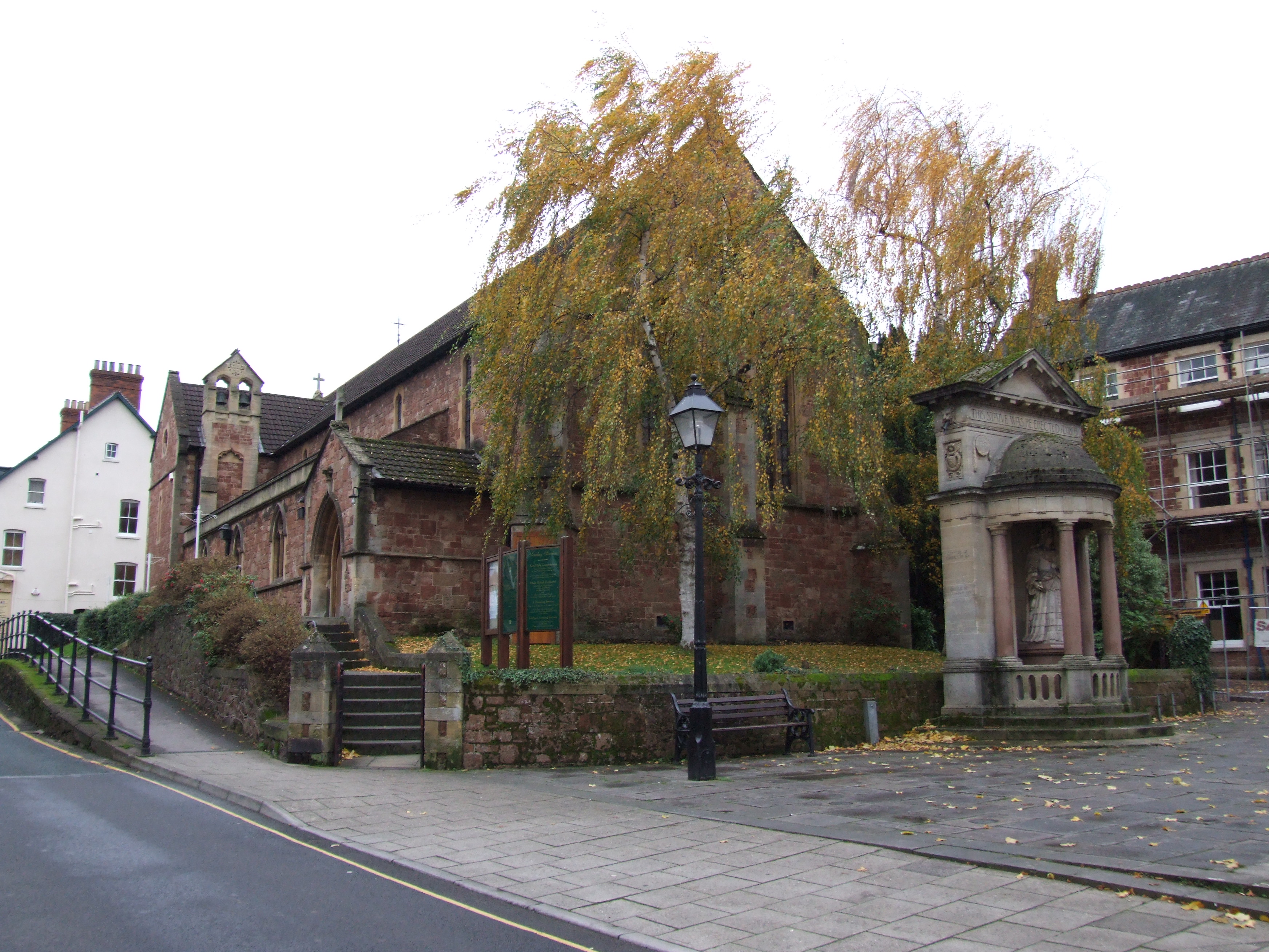
St Andrew's Church, Minehead
St Andrew's Church is a Church of England church in Minehead, Somerset, England. Designed by George Edmund Street, it was built in 1877–80 and has been...

Statue of Queen Anne, Minehead
The Statue of Queen Anne in Minehead, Somerset, England was built in 1719. It is a Grade II* listed building. == History == The statue depicts Queen Anne...
Nearby Amenities
Located within 500m of 51.1971,-3.5161756Have you been to Great Headon Plantation?
Leave your review of Great Headon Plantation below (or comments, questions and feedback).