Clapham Junction
Settlement in Surrey
England
Clapham Junction
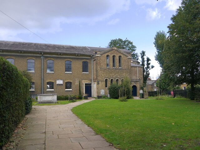
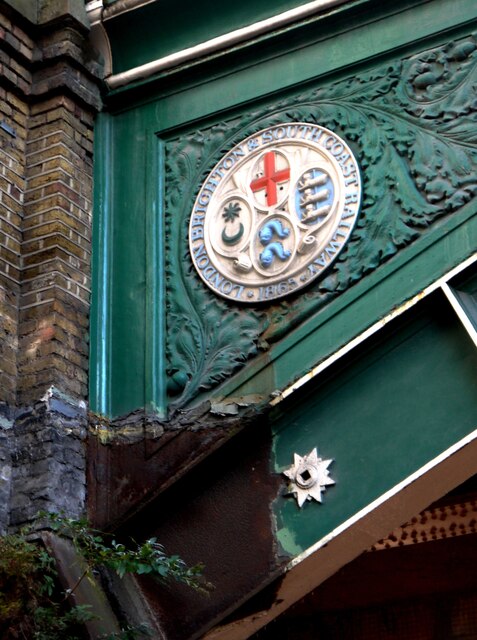
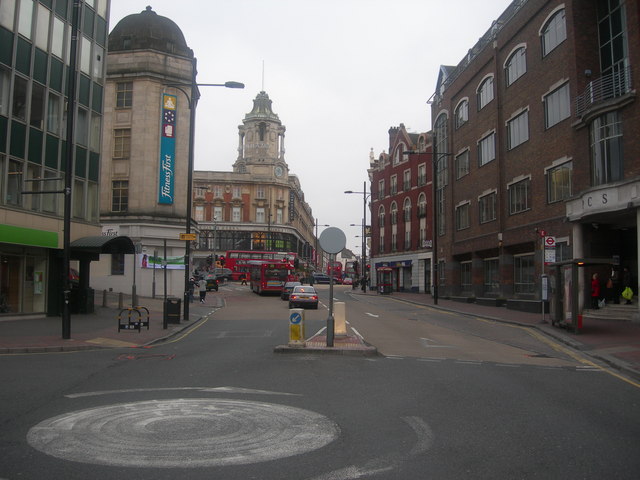
Clapham Junction is a bustling area located in the southwestern part of London, England. Despite its name, it is not actually situated in the county of Surrey, but rather falls within the London Borough of Wandsworth. It is widely regarded as one of the busiest railway stations in Europe and is a major transportation hub connecting various parts of London and the South of England.
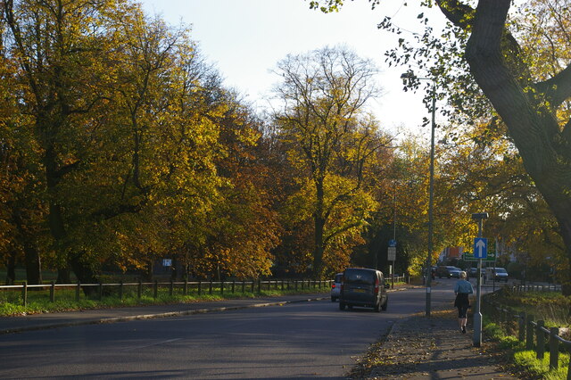
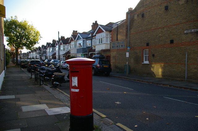
The area surrounding Clapham Junction station is a vibrant and diverse neighborhood, offering a rich mix of residential, commercial, and recreational spaces. It boasts a wide range of amenities, including shops, restaurants, cafes, and pubs, making it a popular destination for both locals and visitors alike.
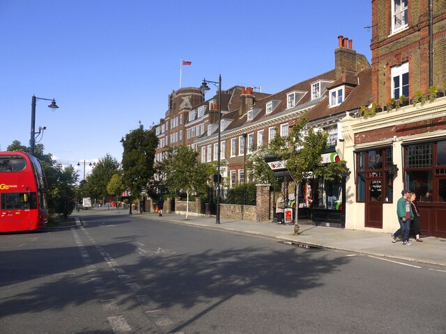
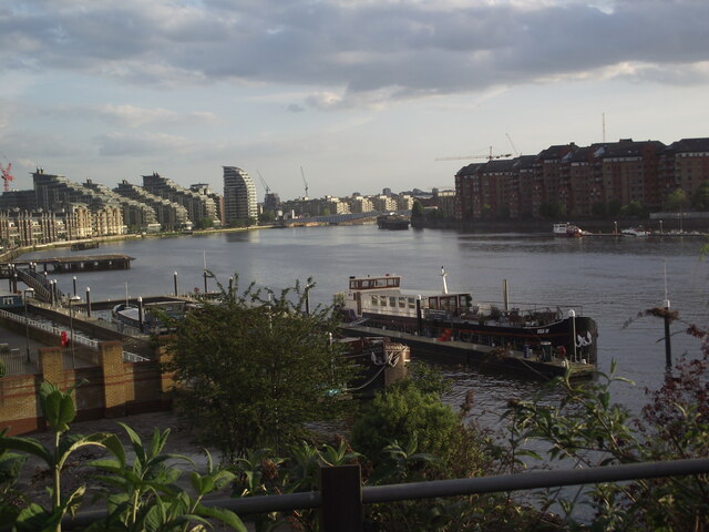
Clapham Junction is known for its lively atmosphere and vibrant street life. Northcote Road, a bustling shopping street, is particularly popular among locals, offering a variety of independent boutiques, artisanal food stores, and trendy cafes. The area is also home to a number of green spaces, including Clapham Common, a large public park ideal for outdoor activities and relaxation.
In addition to its vibrant urban scene, Clapham Junction has a strong sense of community and is home to a diverse population. The area is well-served by public transportation, with several bus routes and the Overground railway network providing easy access to other parts of London.
Overall, Clapham Junction is a dynamic and thriving area, known for its excellent transport links, vibrant street life, and diverse community.
If you have any feedback on the listing, please let us know in the comments section below.
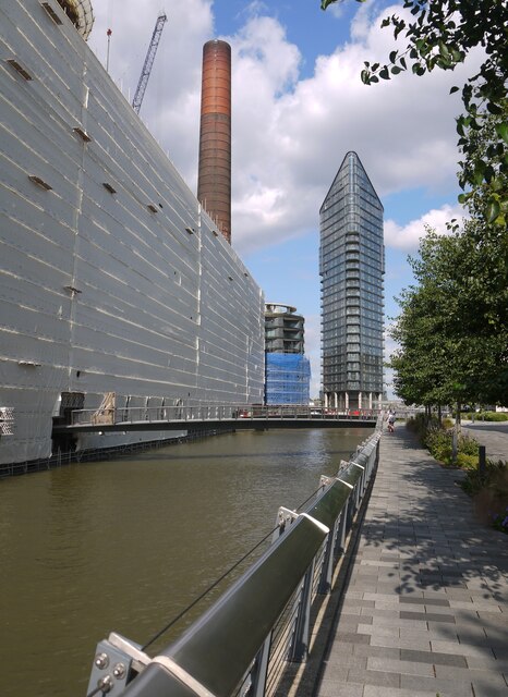
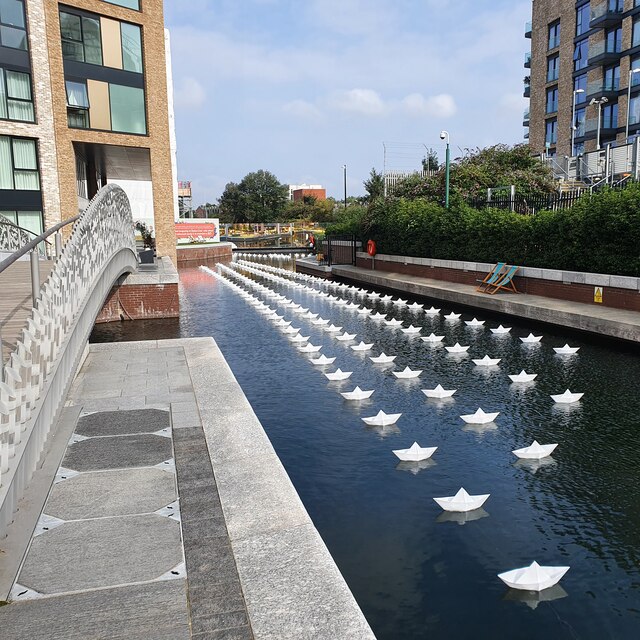
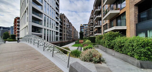
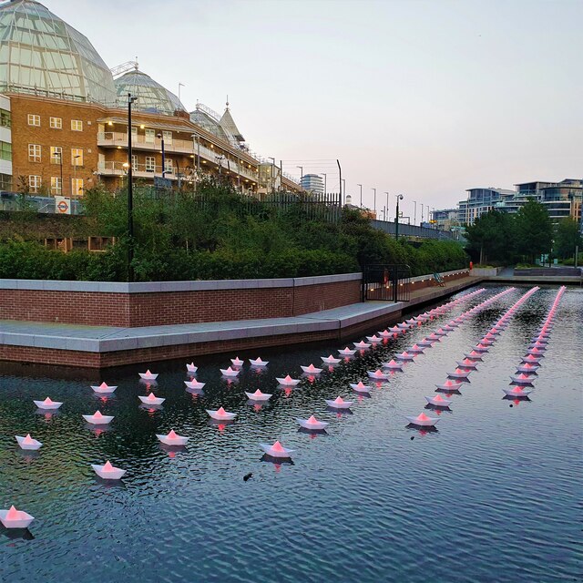
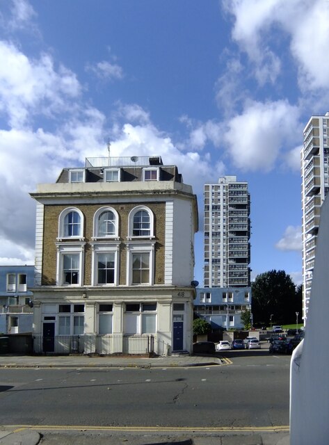
Clapham Junction Images
Images are sourced within 2km of 51.464064/-0.165959 or Grid Reference TQ2775. Thanks to Geograph Open Source API. All images are credited.


Clapham Junction is located at Grid Ref: TQ2775 (Lat: 51.464064, Lng: -0.165959)
Unitary Authority: Wandsworth
Police Authority: Metropolitan
What 3 Words
///bonds.hers.chips. Near Battersea, London
Nearby Locations
Related Wikis

Electric House, Battersea
Electric House was an electricity showroom building built on Lavender Hill, Battersea, London, England, by Battersea Borough Council. The building, opened...
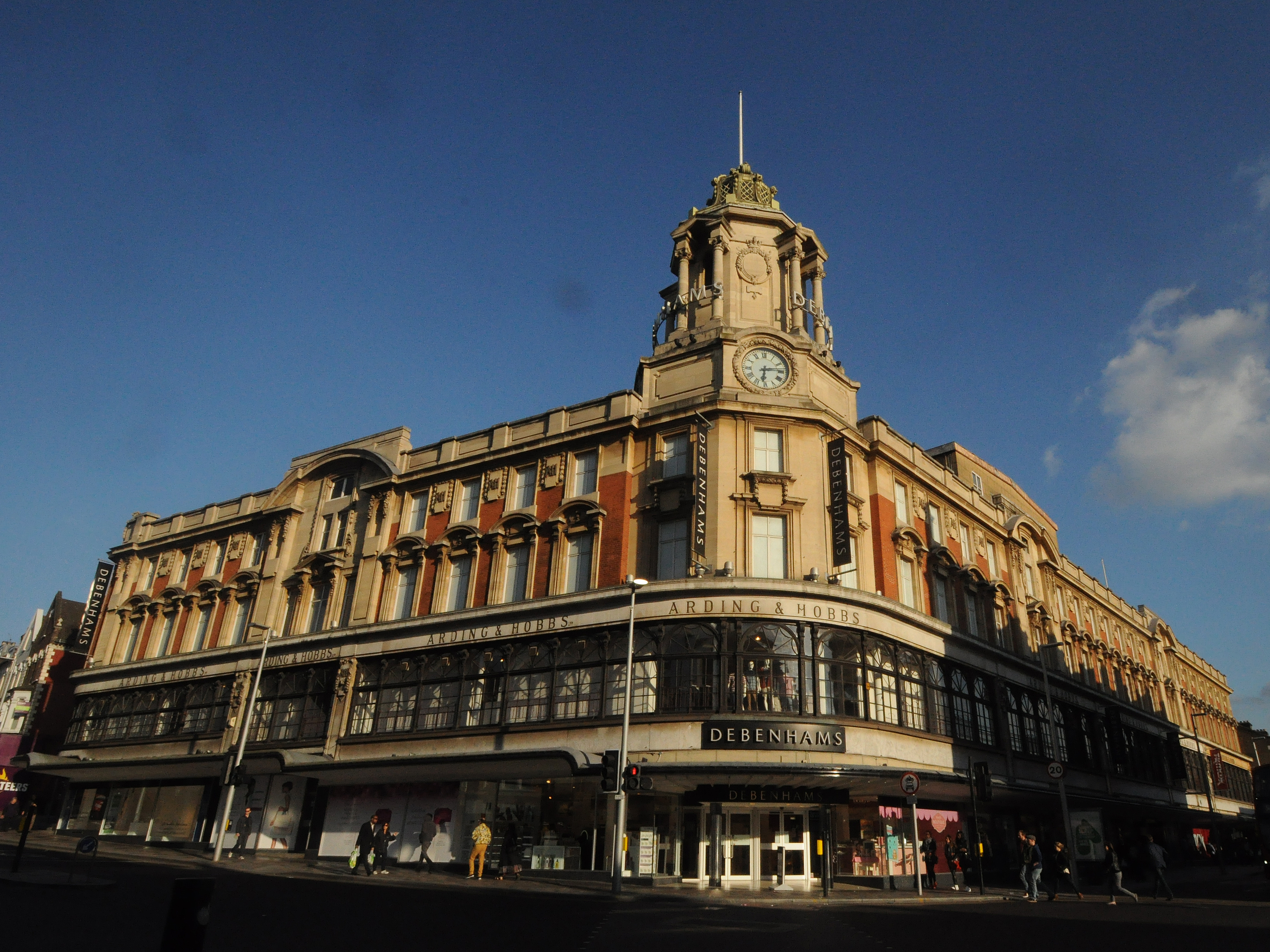
Arding & Hobbs
Arding & Hobbs is a former department store and Grade II listed building at the junction of Lavender Hill and St John's Road, Battersea, in the London...
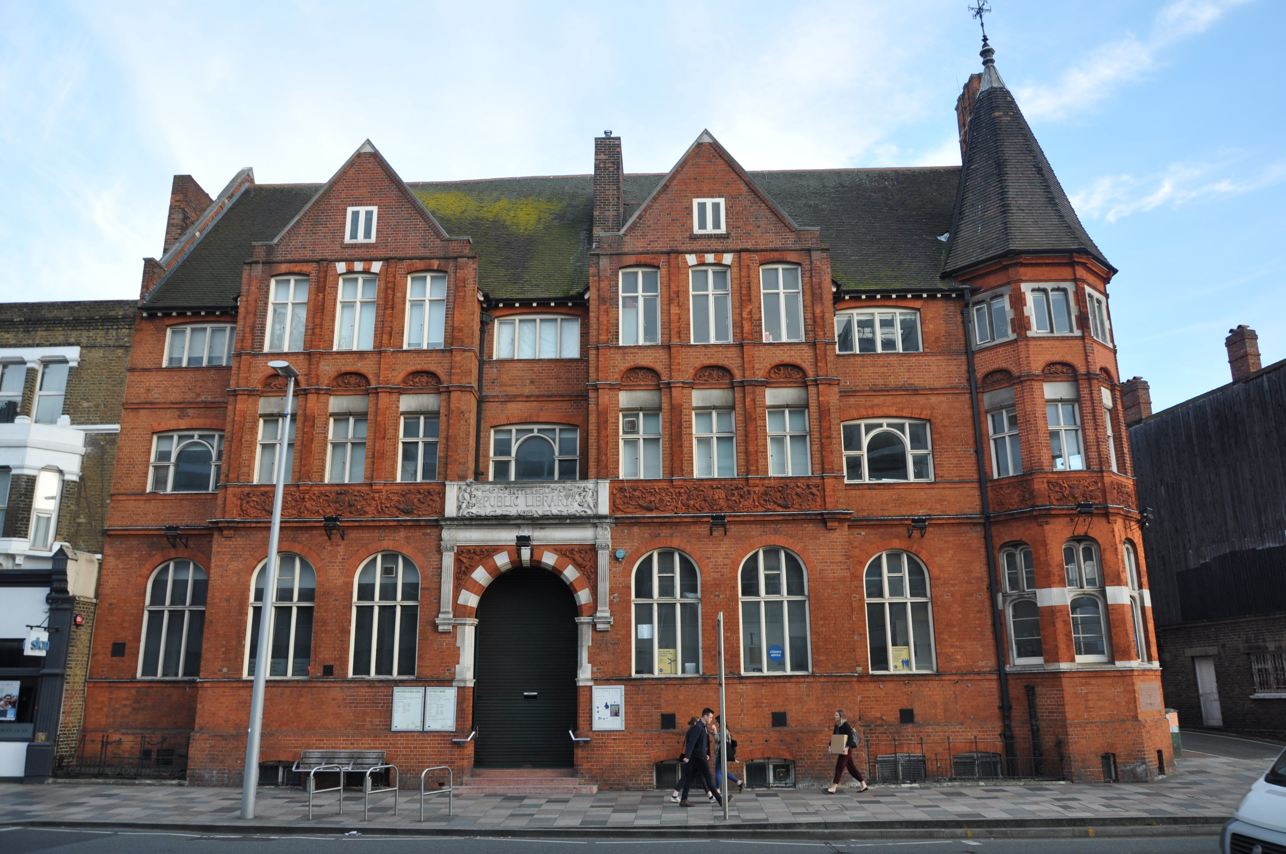
Battersea Central Library
Battersea Central Library is a public lending library situated on Lavender Hill in Battersea, south-west London. The library was built by the Battersea...
Falconbrook
The Falconbrook was a stream that rose in Balham and Tooting, draining much of those parishes then the south and west of the larger district of Battersea...
Clapham Junction
Clapham Junction is an urban locality around Clapham Junction railway station in London, England. Despite its name, it is not located in Clapham, but forms...
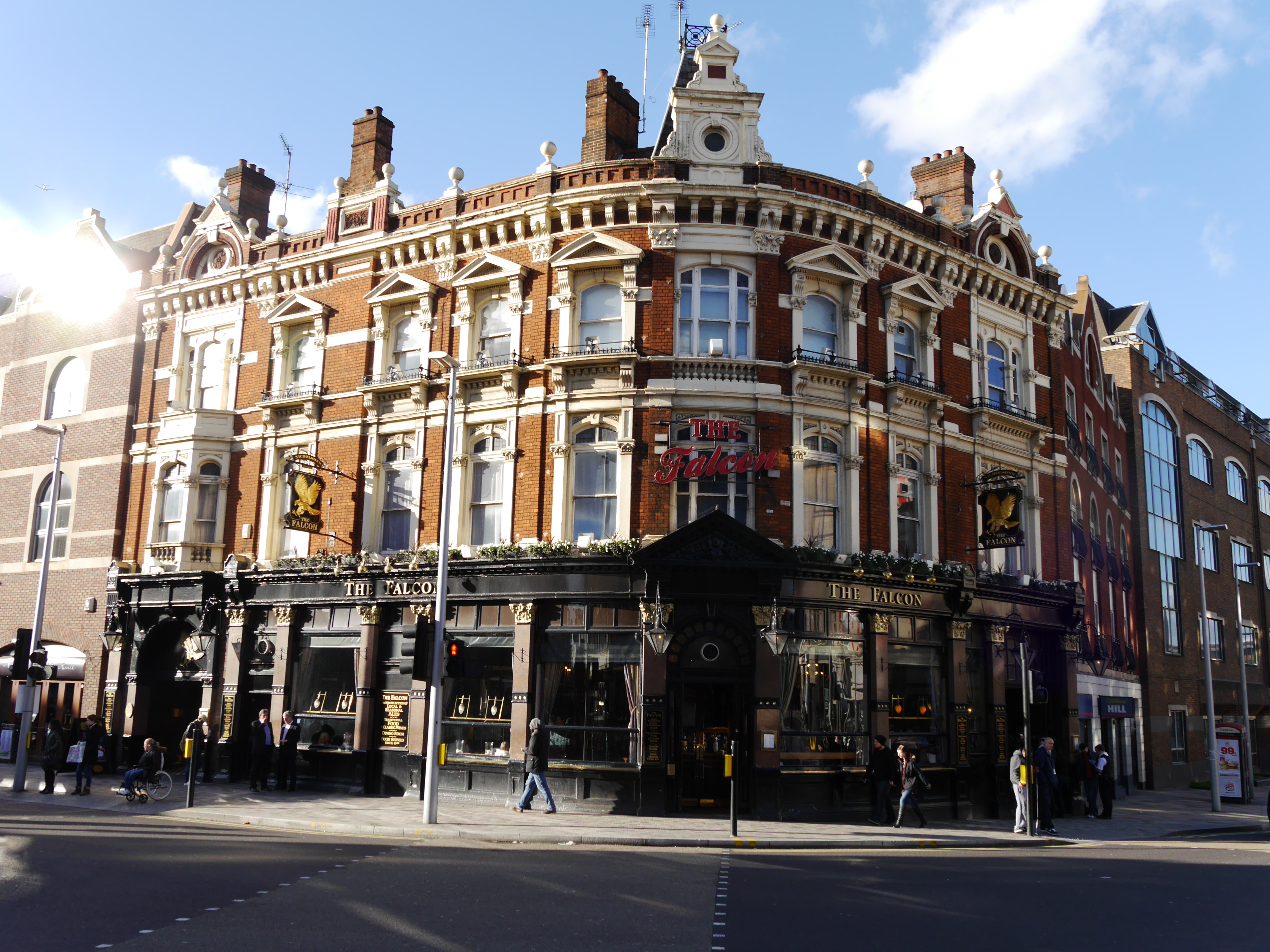
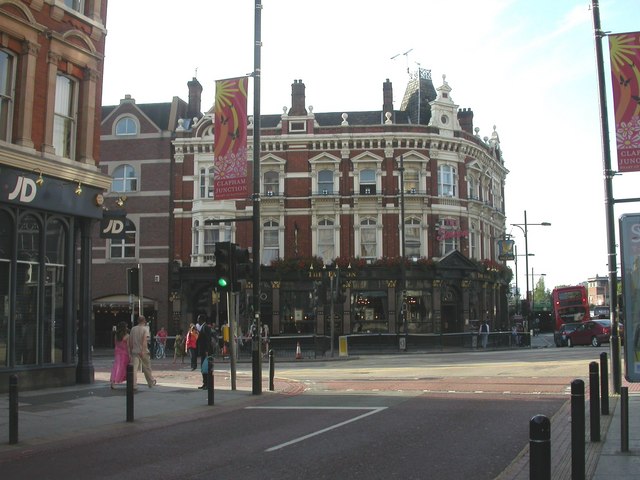
The Falcon, Battersea
The Falcon is a Grade II listed public house at 2 St John's Hill, Battersea, London.The current Falcon inn was built in the late 19th century as a purpose...

Battersea Reference Library
Battersea Reference Library is a reference library within a Grade II listed building at Altenburg Gardens, Battersea, London, England.The library building...
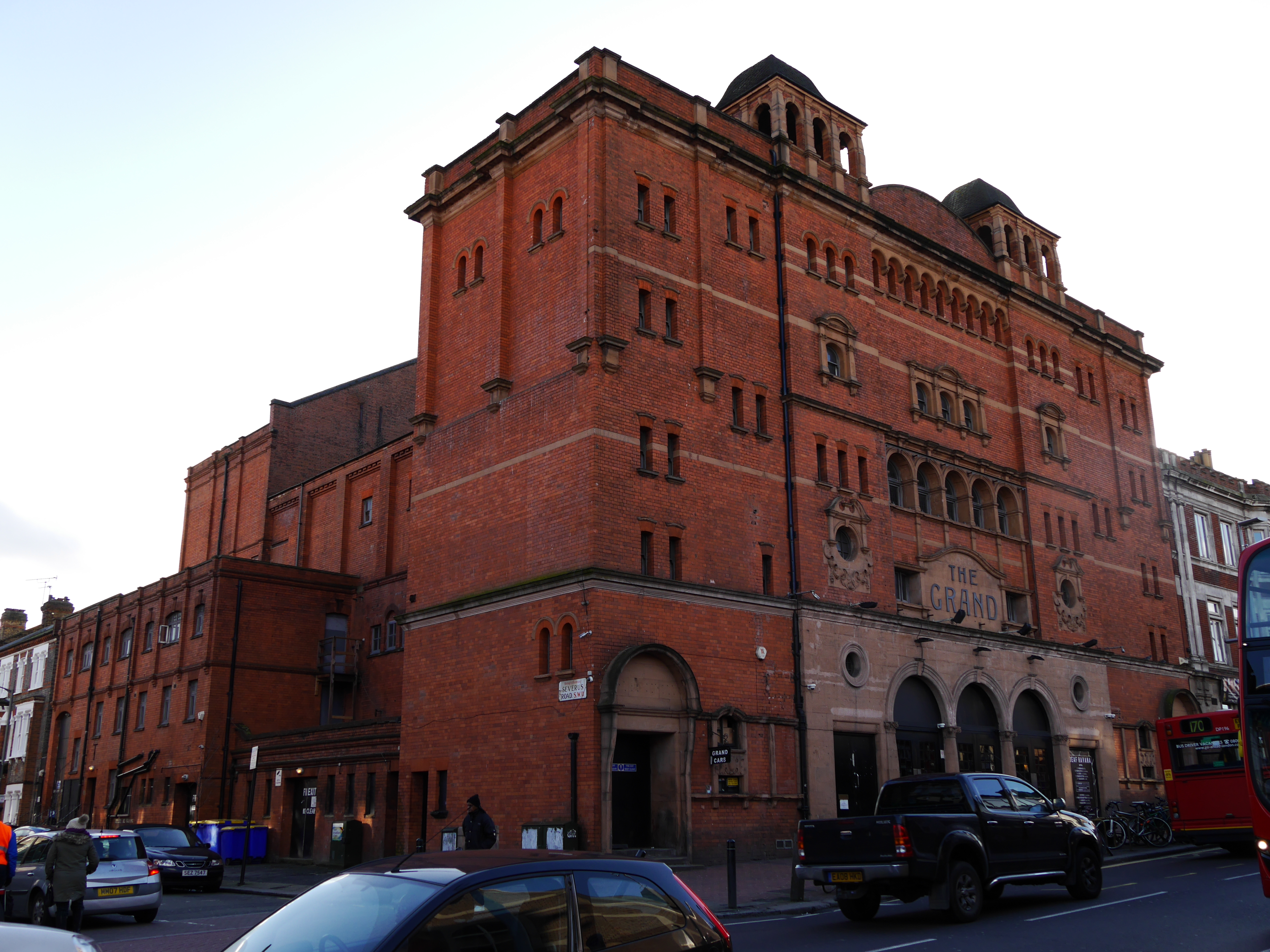
Clapham Grand
The Grand (previously The Grand Theatre) is a Grade II listed building on St John's Hill, near Clapham Junction in Battersea, South London. It was designed...
Nearby Amenities
Located within 500m of 51.464064,-0.165959Have you been to Clapham Junction?
Leave your review of Clapham Junction below (or comments, questions and feedback).