Claddens

Settlement in Lanarkshire
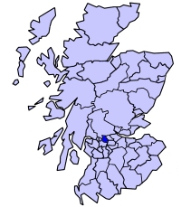
Scotland

Claddens

East Dunbartonshire College Situated in Southbank Road above the Forth & Clyde Canal close to the centre of Kirkintilloch.  The ongoing development has not been kind to the bankside trees in the foreground.
East Dunbartonshire College Credit: A-M-Jervis

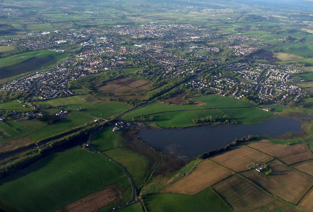
Claddens is a small village located in the North Lanarkshire council area of Scotland. Situated approximately 13 miles southeast of Glasgow, it is nestled in the heart of Lanarkshire's picturesque countryside. The village is part of the larger town of Uddingston and is primarily residential in nature.

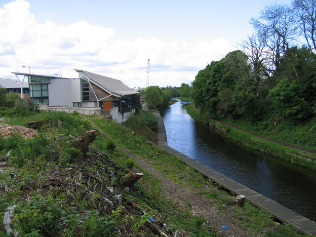
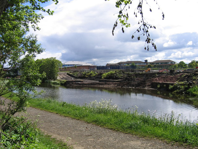
Claddens boasts a rich history, with evidence of human settlement in the area dating back several centuries. The village is named after the Claddens Burn, a small stream that runs through the area, providing a tranquil and idyllic backdrop to the village. The surrounding landscape is characterized by rolling hills, green fields, and charming country lanes, offering residents and visitors a peaceful and serene environment.

Despite its small size, Claddens is well-served by amenities and services. The village has a primary school, allowing local children to receive education within their community. Additionally, there are several local shops, including convenience stores and a small supermarket, providing residents with easy access to everyday essentials. For further amenities, the nearby town of Uddingston offers a wider range of shops, restaurants, and leisure facilities.

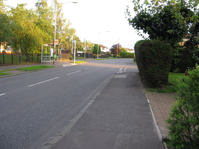
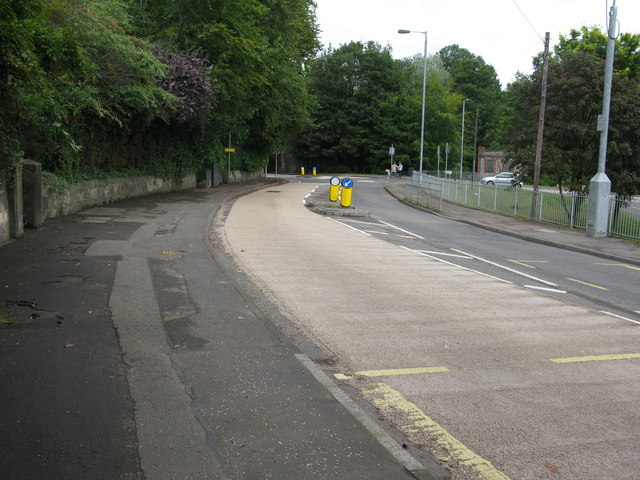
Transport links are also convenient in Claddens, with regular bus services connecting the village to nearby towns and cities. The M74 motorway is easily accessible, providing quick and convenient access to Glasgow and other major cities in Scotland.

In summary, Claddens is a charming and peaceful village in Lanarkshire, offering residents a close-knit community, beautiful surroundings, and convenient access to essential amenities.

If you have any feedback on the listing, please let us know in the comments section below.

Claddens Images

Images are sourced within 2km of 55.920988/-4.140414 or Grid Reference NS6671. Thanks to Geograph Open Source API. All images are credited.

East Dunbartonshire College Situated in Southbank Road above the Forth & Clyde Canal close to the centre of Kirkintilloch.  The ongoing development has not been kind to the bankside trees in the foreground.
East Dunbartonshire College
Situated in Southbank Road above the Forth & Clyde Canal close to the centre of Kirkintilloch. The ongoing development has not been kind to the bankside trees in the foreground.
Pudding (or puddling) in the basin In 1826 the Monkland & Kirkintilloch Railway was opened to bring coal from pits south of Airdrie to the Forth & Clyde Canal for onward shipment by barge into Glasgow.  A large interchange basin or dock was dug on the south side of the canal at Kirkintilloch and its quays served plentifully with railway tracks and tipping machinery. In 1966, by which time the canal was virtually disused, the railway line to the basin was closed and about the same time the basin was completely filled in.  More recently it has been dug out again to form a marina, with offices where once railway wagons were shunted.  This view, taken from the canal's north-side towpath, shows an early stage of the restoration, with the stonework of the original basin entrance poking through the mud.
Pudding (or puddling) in the basin
In 1826 the Monkland & Kirkintilloch Railway was opened to bring coal from pits south of Airdrie to the Forth & Clyde Canal for onward shipment by barge into Glasgow. A large interchange basin or dock was dug on the south side of the canal at Kirkintilloch and its quays served plentifully with railway tracks and tipping machinery. In 1966, by which time the canal was virtually disused, the railway line to the basin was closed and about the same time the basin was completely filled in. More recently it has been dug out again to form a marina, with offices where once railway wagons were shunted. This view, taken from the canal's north-side towpath, shows an early stage of the restoration, with the stonework of the original basin entrance poking through the mud.
Lenzie from the air Gadloch loch is in the foreground.
Lenzie from the air
Gadloch loch is in the foreground.
B819 Lindsaybeg Road Covered in traffic cones, due to work on the new M80, which is now open at this section.
B819 Lindsaybeg Road
Covered in traffic cones, due to work on the new M80, which is now open at this section.
Boghead Road, looking SSW Looking roughly SSW along Boghead Road.  The road leading off to the right is Glenwood Road, and leads to 3 culs-de-sac and also one end of Pinewood Avenue.
Boghead Road, looking SSW
Looking roughly SSW along Boghead Road. The road leading off to the right is Glenwood Road, and leads to 3 culs-de-sac and also one end of Pinewood Avenue.
Auchinloch Road, Lenzie Looking roughly north along Auchinloch Road, Lenzie in the direction of Kirkintilloch.
Auchinloch Road, Lenzie
Looking roughly north along Auchinloch Road, Lenzie in the direction of Kirkintilloch.
Lenzie railway station, looking ENE View from footbridge at Lenzie railway station, looking roughly ENE towards Stirling, Alloa, Dunblane and Edinburgh.
Lenzie railway station, looking ENE
View from footbridge at Lenzie railway station, looking roughly ENE towards Stirling, Alloa, Dunblane and Edinburgh.
Auchinloch Primary School On Fourth Avenue at the junction with Langmuirhead Road.
Auchinloch Primary School
On Fourth Avenue at the junction with Langmuirhead Road.
Golden Pheasant On Stepps Road at the junction with Langmuirhead Road and Auchinloch Road.
Golden Pheasant
On Stepps Road at the junction with Langmuirhead Road and Auchinloch Road.
Fauldhead from the west The water tower is clearly visible.
Fauldhead from the west
The water tower is clearly visible.
Calfmuir Road Looking north towards Kirkintilloch, from the bend to the southwest of Fauldhead.
Calfmuir Road
Looking north towards Kirkintilloch, from the bend to the southwest of Fauldhead.
Green lane A road which now appears to be a popular path.
Green lane
A road which now appears to be a popular path.
Duntiblae Unsealed road on the edge of Kirkintilloch.
Duntiblae
Unsealed road on the edge of Kirkintilloch.
Lambs, Wester Muckcroft.
Lindsaybeg Road Lindsaybeg Road is now on an embankment as it has to cross the new M80. The remaining land after the road construction was stubble covered.
Lindsaybeg Road
Lindsaybeg Road is now on an embankment as it has to cross the new M80. The remaining land after the road construction was stubble covered.
A806 The A806 now bypasses Lenzie. View from an overbridge.
A806
The A806 now bypasses Lenzie. View from an overbridge.
Lenzie Moss A bog, now colonised by birch woods.
Lenzie Moss
A bog, now colonised by birch woods.
Path, Lenzie Moss A boardwalk across the bog. There are still some very fine examples of bogs left in central Scotland.
Path, Lenzie Moss
A boardwalk across the bog. There are still some very fine examples of bogs left in central Scotland.
Show me another place!

Claddens is located at Grid Ref: NS6671 (Lat: 55.920988, Lng: -4.140414)

Unitary Authority: East Dunbartonshire

Police Authority: Greater Glasgow

What 3 Words

///popular.roof.twinkled. Near Lenzie, East Dunbartonshire

Nearby Locations

Claddens Orchard Park

Related Wikis

Monkland and Kirkintilloch Railway

The Monkland and Kirkintilloch Railway was an early mineral railway running from a colliery at Monklands to the Forth and Clyde Canal at Kirkintilloch...

Lenzie

Lenzie () is a town by the Edinburgh and Glasgow Railway in the East Dunbartonshire council area of Scotland. It is about 6 miles (10 km) north-east of...

Lenzie railway station

Lenzie railway station is a railway station serving Lenzie and Kirkintilloch in East Dunbartonshire, Scotland. It is located on the Croy Line, 6+1⁄4 miles...

Strathkelvin

Strathkelvin (Scottish Gaelic: Srath Chealbhainn) is the strath (valley) of the River Kelvin in west central Scotland, lying north-east of Glasgow. The...
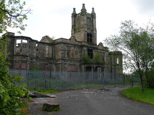
Woodilee Hospital

Woodilee Hospital was a psychiatric institution situated in Lenzie, East Dunbartonshire, Scotland. == History == === Early years === In 1869 the Parochial...

Woodilee Village

Woodilee Village is an enlargement to the town of Lenzie in the Kirkintilloch area. The local authority is East Dunbartonshire. == Background == The area...

Machrie Mhor

Machrie Mhor is a villa on Victoria Road in Lenzie, East Dunbartonshire, Scotland. Built around 1920, the villa was once home to the Scottish tenor Kenneth...

Auld Aisle Cemetery

The Auld Aisle Cemetery is located in Kirkintilloch, East Dunbartonshire, Scotland. The cemetery is protected as a category A listed building, and includes...

Nearby Amenities

Located within 500m of 55.920988,-4.140414
Mini Roundabout
Direction: clockwise
Lat/Long: 55.9209007/-4.1408275
Barrier: bollard
Bicycle: yes
Foot: yes
Lat/Long: 55.9203352/-4.141812
Post Box
Lat/Long: 55.9207326/-4.1414898
Crossing
Crossing: traffic_signals
Source: survey
Lat/Long: 55.9194127/-4.1460076
Barrier: bollard
Bicycle: yes
Foot: yes
Source: survey
Lat/Long: 55.9232137/-4.1423753
Access: no
Barrier: block
Note: fence
Source: survey
Lat/Long: 55.9247527/-4.1404845
Lenzie Junction
Historic Railway: junction
Railway: site
Lat/Long: 55.9229984/-4.1468711
Garngaber High Junction
Historic Railway: junction
Railway: site
Lat/Long: 55.9239825/-4.1424169
Garngaber Low Junction
Alt Name: Garngaber South Junction
Historic Railway: junction
Railway: site
Lat/Long: 55.9210898/-4.1329234
Power: pole
Lat/Long: 55.9218396/-4.1345111
Power: pole
Lat/Long: 55.9212957/-4.1335091
Power: pole
Lat/Long: 55.9208416/-4.1326508
Power: pole
Lat/Long: 55.9171107/-4.1378275
Power: pole
Lat/Long: 55.9173302/-4.1379483
The data included in this document is from www.openstreetmap.org. The data is made available under ODbL.

Have you been to Claddens?

Leave your review of Claddens below (or comments, questions and feedback).