Chample's Wood
Wood, Forest in Devon Mid Devon
England
Chample's Wood
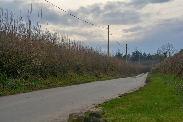
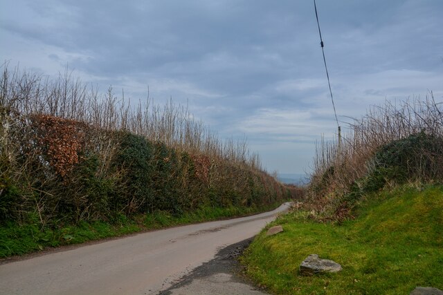
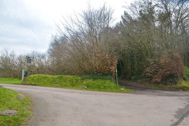
Chample's Wood is a picturesque forest located in the county of Devon, in the southwestern part of England. Covering an area of approximately 50 acres, it is a popular destination for nature lovers and outdoor enthusiasts. The woodland is situated near the village of Chample, which lends its name to the forest.
Chample's Wood boasts a diverse range of flora and fauna, making it a haven for biodiversity. The forest is predominantly composed of deciduous trees such as oak, beech, and ash, creating a vibrant and ever-changing landscape throughout the seasons. These towering trees provide shelter and a habitat for various species of birds, mammals, and insects.
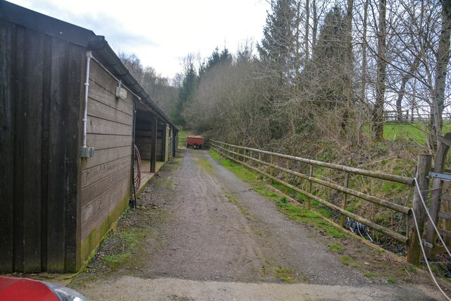
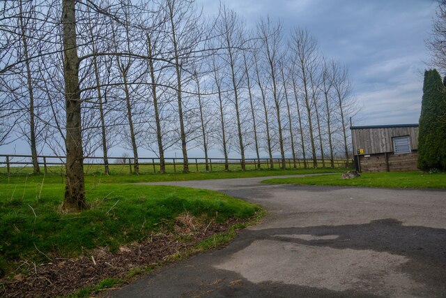
The woodland is crisscrossed by a network of well-maintained footpaths and trails, allowing visitors to explore its beauty and tranquility. There are also designated picnic areas and benches where visitors can rest and take in the peaceful surroundings. The forest is particularly enchanting in the spring when the forest floor is carpeted with bluebells, creating a stunning display of color.
Chample's Wood is not only a place of natural beauty but also holds historical significance. It is believed to have been part of an ancient hunting ground, dating back centuries. Local legends and folklore have also been associated with the forest, adding to its mystical charm.
Overall, Chample's Wood offers a welcome retreat from the hustle and bustle of everyday life, allowing visitors to connect with nature and find solace in its serene atmosphere.
If you have any feedback on the listing, please let us know in the comments section below.
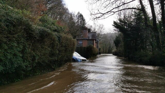
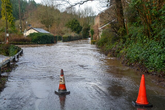
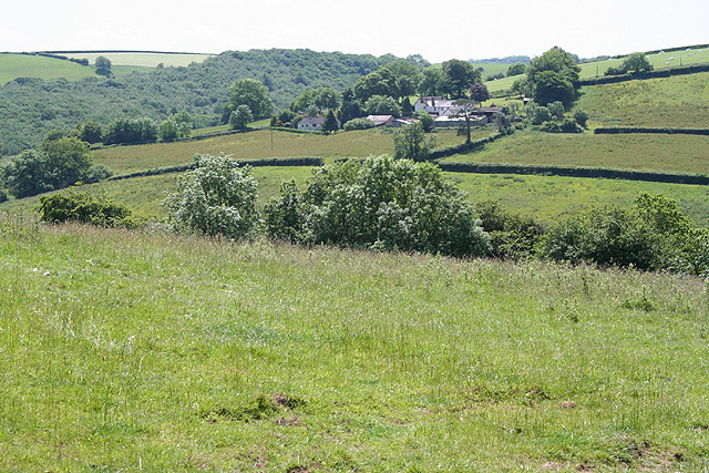
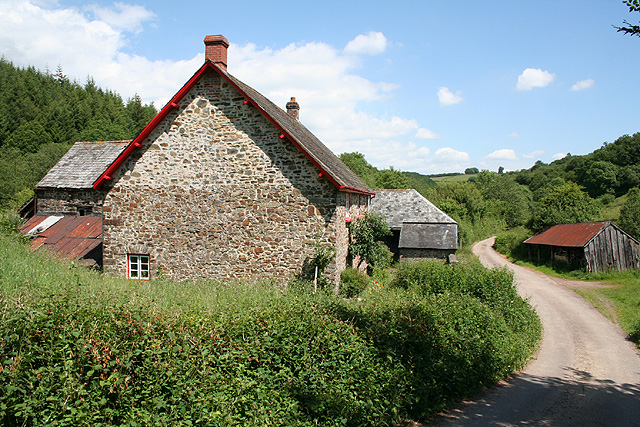
Chample's Wood Images
Images are sourced within 2km of 50.975148/-3.5464817 or Grid Reference SS9120. Thanks to Geograph Open Source API. All images are credited.


Chample's Wood is located at Grid Ref: SS9120 (Lat: 50.975148, Lng: -3.5464817)
Administrative County: Devon
District: Mid Devon
Police Authority: Devon and Cornwall
What 3 Words
///hurricane.establish.reclining. Near Dulverton, Somerset
Nearby Locations
Related Wikis

Oakford, Devon
Oakford is a village and civil parish in the Mid Devon district of Devon, England. It is located three miles (5 km) south west of Bampton and eight miles...

Oakfordbridge
Oakfordbridge is a village in Devon, England. == References == The geographic coordinates are from the Ordnance Survey. == External links == Media related...

Stoodleigh
Stoodleigh is a village and civil parish in the Mid Devon district of Devon, England, located 6 miles (10 km) north of Tiverton and 5 miles (8 km) south...

Castle Close
Castle Close is a circular earthwork located near Stoodleigh in Mid Devon, England at OS grid reference SS937181. It is described on maps as a settlement...

Cove, Devon
Cove is a small village in the county of Devon, England. It is 4 miles north of Tiverton and 2 miles from Bampton in the Exe Valley some 450 feet above...

River Barle
The River Barle runs from the Chains on northern Exmoor, in Somerset, England to join the River Exe at Exebridge, Devon. The river and the Barle Valley...

River Batherm
The River Batherm is a river which flows through Somerset and Devon in England. The river rises on high ground near the village of Sperry Barton, between...

Exebridge
Exebridge is a village that lies on the border between Devon and Somerset, England. It lies at the confluence of the Barle and Exe rivers. Exebridge is...
Nearby Amenities
Located within 500m of 50.975148,-3.5464817Have you been to Chample's Wood?
Leave your review of Chample's Wood below (or comments, questions and feedback).