Blagdon Wood
Wood, Forest in Somerset Somerset West and Taunton
England
Blagdon Wood
Blagdon Wood is a picturesque woodland located in Somerset, England. Covering an area of approximately 40 acres, it is a designated Site of Special Scientific Interest (SSSI) and is managed by the Somerset Wildlife Trust. The wood is situated near the village of Blagdon, nestled within the Mendip Hills Area of Outstanding Natural Beauty.
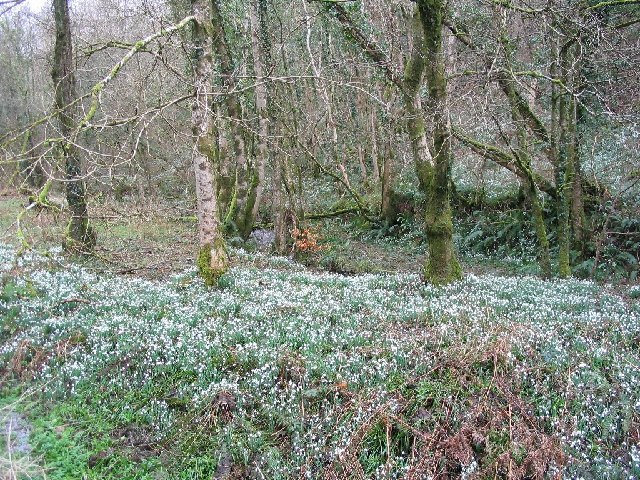
Blagdon Wood is predominantly composed of deciduous trees, including oak, ash, birch, and beech, creating a diverse and vibrant canopy. The forest floor is adorned with a rich carpet of wildflowers, such as bluebells, primroses, and wood anemones during the spring months.
The wood is home to a wide range of wildlife, making it a popular destination for nature enthusiasts. Visitors may spot various bird species like the great spotted woodpecker, tawny owl, and redwing, while mammals like badgers, foxes, and deer also inhabit the area.
The woodland offers several well-marked trails for visitors to explore, including the popular Woodland Trail and the Butterfly Trail. These paths wind through the forest, allowing visitors to immerse themselves in the natural beauty and tranquility of Blagdon Wood. Additionally, the wood features a small pond that provides a habitat for amphibians and dragonflies.
Blagdon Wood is open to the public year-round, with the changing seasons offering different experiences. It provides a peaceful retreat for those seeking solace in nature and serves as an important conservation area for the preservation of Somerset's natural heritage.
If you have any feedback on the listing, please let us know in the comments section below.
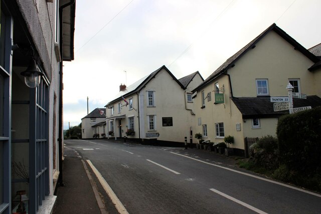
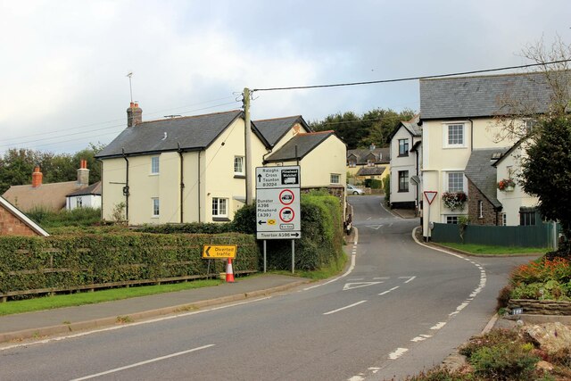
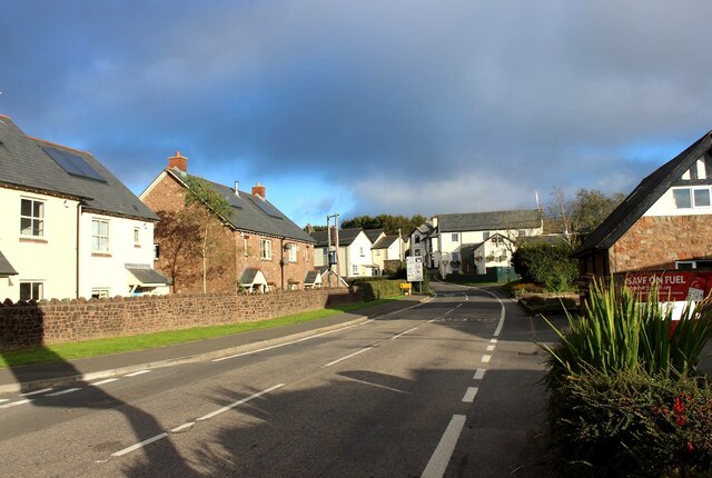
Blagdon Wood Images
Images are sourced within 2km of 51.147139/-3.5529824 or Grid Reference SS9139. Thanks to Geograph Open Source API. All images are credited.


Blagdon Wood is located at Grid Ref: SS9139 (Lat: 51.147139, Lng: -3.5529824)
Administrative County: Somerset
District: Somerset West and Taunton
Police Authority: Avon and Somerset
What 3 Words
///discloses.diverged.lateral. Near Porlock, Somerset
Nearby Locations
Related Wikis

Timberscombe
Timberscombe is a village and civil parish on the River Avill 2.5 miles (4 km) south-west of Dunster, and 5.5 miles (9 km) south of Minehead within the...

Cutcombe
Cutcombe is a village and civil parish 9 miles (14 km) south of Minehead and north of Dulverton straddling the ridge between Exmoor and the Brendon Hills...
Church of St John, Cutcombe
The Anglican Church of St John in Cutcombe, Somerset, England was built in the 13th and 14th centuries. It is a Grade II* listed building. == History... ==
Dunkery Hill
Dunkery Beacon at the summit of Dunkery Hill is the highest point on Exmoor and in Somerset, England. It is also the highest point in southern England...

Sweetworthy
Sweetworthy is the site of two Iron Age hill forts or enclosures at Luccombe, 4 kilometres (2 mi) south of Porlock, Somerset, England. They are on the...

Wootton Courtenay
Wootton Courtenay is a village and civil parish on Exmoor in the Somerset West and Taunton district of Somerset, England. The parish includes the hamlets...

Brendon Hills
The Brendon Hills are a range of hills in west Somerset, England. The hills merge level into the eastern side of Exmoor and are included within the Exmoor...

Luccombe, Somerset
Luccombe or Luckham is a village and civil parish in the Exmoor National Park in the English county of Somerset. It at the foot of the moor's highest hill...
Related Videos
Exmoor, Devon. Quick view of our holiday cottage and surroundings 😁☀️
We are at Wheddon Cross, Exmoor in Somerst/Devon, England. The location and weather are perfect and I have my own private ...

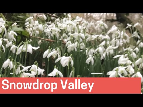
The snowdrops are looking in fine fettle at Snowdrop Valley
A look at the first section of snowdrops as you walk through the gateway at the remote valley on Exmoor.

Snowdrop Valley | Know before you go | Amazing views and fascinating facts| Exmoor |2023
Snowdrop Valley near Wheddon Cross on Exmoor is a splendid sight in February and visitors can enjoy carpets of snowdrops ...
Snowdrop Valley, Exmoor | February 2022
Snowdrop Valley on Exmoor is the location for this week's video. Join me on 'Walk 1' , one of 4 walks signposted from the car ...
Nearby Amenities
Located within 500m of 51.147139,-3.5529824Have you been to Blagdon Wood?
Leave your review of Blagdon Wood below (or comments, questions and feedback).