Langley Copse

Wood, Forest in Devon Mid Devon

England

Langley Copse

Cruwys Morchard: Windmill Farm Entrance to farmyard. In 1553 a windmill stood across the road to the east, probably near the trig point 253m up from sea level, where it would have worked in all winds
Cruwys Morchard: Windmill Farm Credit: Martin Bodman

Langley Copse is a picturesque woodland located in the county of Devon, England. Nestled in the heart of the countryside, this enchanting forest covers an area of approximately 100 acres and is a haven for nature enthusiasts and hikers alike.

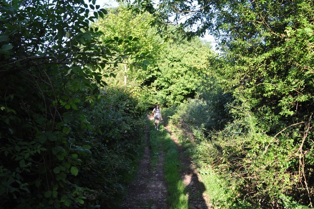
The copse is predominantly composed of broadleaf trees, including oak, beech, and ash, which create a dense canopy overhead, casting dappled sunlight onto the forest floor. The woodland is also home to a variety of wildflowers, such as bluebells and primroses, which carpet the ground in vibrant hues during the spring months.

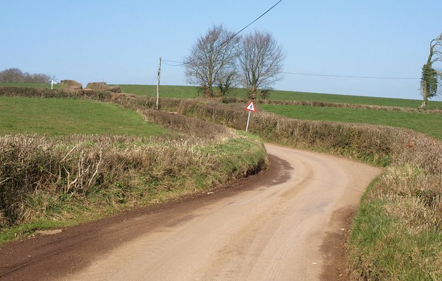
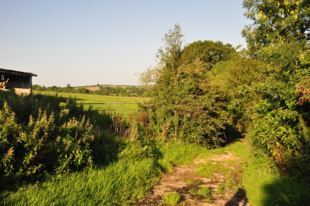
Langley Copse is crisscrossed by a network of winding footpaths and trails, allowing visitors to explore its beauty at their own leisure. These paths meander through the forest, taking hikers past babbling brooks, moss-covered rocks, and ancient tree stumps, creating a magical atmosphere.

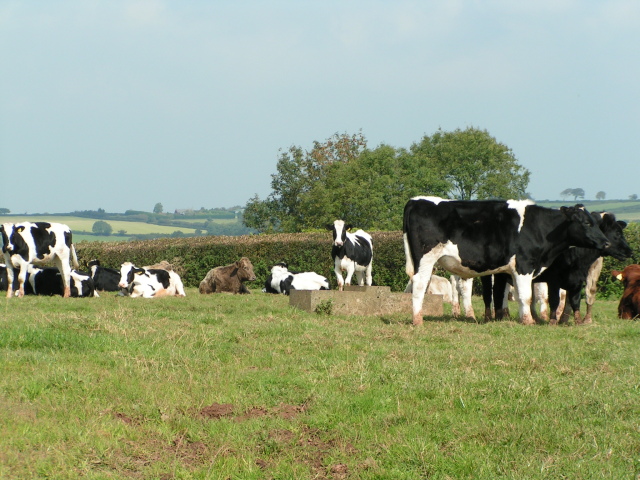
The copse is teeming with wildlife, providing a habitat for numerous species. Visitors may catch a glimpse of deer grazing among the trees or spot squirrels scampering along the branches. The forest is also home to a variety of bird species, including woodpeckers, nuthatches, and owls, making it a popular spot for birdwatching enthusiasts.

Langley Copse offers a peaceful retreat from the hustle and bustle of everyday life. Whether it's a leisurely stroll, birdwatching, or simply enjoying the tranquility of nature, this woodland is a hidden gem waiting to be explored in the beautiful county of Devon.

If you have any feedback on the listing, please let us know in the comments section below.

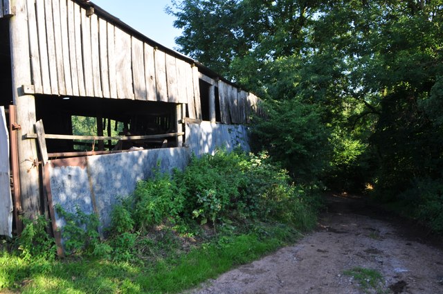
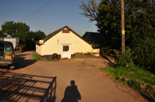
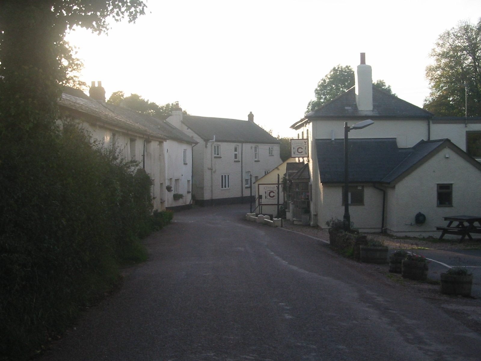
Langley Copse Images

Images are sourced within 2km of 50.881846/-3.5558713 or Grid Reference SS9010. Thanks to Geograph Open Source API. All images are credited.

Cruwys Morchard: Windmill Farm Entrance to farmyard. In 1553 a windmill stood across the road to the east, probably near the trig point 253m up from sea level, where it would have worked in all winds
Cruwys Morchard: Windmill Farm
Entrance to farmyard. In 1553 a windmill stood across the road to the east, probably near the trig point 253m up from sea level, where it would have worked in all winds
Cruwys Morchard: near Old Ford House Overlooking a valley; its stream a tributary of the Dart, itself a tributary of the Exe. Looking west-south-west
Cruwys Morchard: near Old Ford House
Overlooking a valley; its stream a tributary of the Dart, itself a tributary of the Exe. Looking west-south-west
Cruwys Morchard: Thorne Farm Looking north east with a new Massey Ferguson tractor parked up
Cruwys Morchard: Thorne Farm
Looking north east with a new Massey Ferguson tractor parked up
Black Down Copse A stream runs along the edge of the copse and drains into the River Dart, one of numerous wooded side valleys in the area. Seen from the track between Kingdom's Corner and Cotton Farm, as it climbs away from another stream beside Quarry Close Copse.
Black Down Copse
A stream runs along the edge of the copse and drains into the River Dart, one of numerous wooded side valleys in the area. Seen from the track between Kingdom's Corner and Cotton Farm, as it climbs away from another stream beside Quarry Close Copse.
The road to Hookway
The road to Hookway
Chicken and lake at Hookway
Cows near Thorne Farm
Road Junction south of Way Village
Haydon Farm From a lane following the parish boundary along high ground between Cheriton Fitzpaine and Cadeleigh; the farm is in the latter.
Haydon Farm
From a lane following the parish boundary along high ground between Cheriton Fitzpaine and Cadeleigh; the farm is in the latter.
Beerash Cross Another view of the lane junction shown in <a href="https://www.geograph.org.uk/photo/990387">SS8909 : Between Cadeleigh and Way Village</a>, from the lane arriving from Building's Cross.
Beerash Cross
Another view of the lane junction shown in SS8909 : Between Cadeleigh and Way Village, from the lane arriving from Building's Cross.
Approaching Beerash Cross The lane from which <a href="https://www.geograph.org.uk/photo/2318546">SS8908 : Haydon Farm</a> was taken approaches the junction shown in <a href="https://www.geograph.org.uk/photo/2318554">SS8909 : Beerash Cross</a>, past a drunken sign.
Approaching Beerash Cross
The lane from which SS8908 : Haydon Farm was taken approaches the junction shown in SS8909 : Beerash Cross, past a drunken sign.
Mid Devon : Country Track A small track heading from here at Cotton Farm to Kingdom's Corner.
Mid Devon : Country Track
A small track heading from here at Cotton Farm to Kingdom's Corner.
Mid Devon : Country Track A country track heading from Cotton Farm and into the countryside.
Mid Devon : Country Track
A country track heading from Cotton Farm and into the countryside.
Mid Devon : Cotton Farm & Track A track heading away from Cotton Farm in Mid Devon.
Mid Devon : Cotton Farm & Track
A track heading away from Cotton Farm in Mid Devon.
Mid Devon : Cotton Farm Barns at Cotton Farm in the Mid Devon countryside.
Mid Devon : Cotton Farm
Barns at Cotton Farm in the Mid Devon countryside.
Mid Devon : Cotton Heath House Looking towards Cotton Heath House at Cotton Farm in Mid Devon.
Mid Devon : Cotton Heath House
Looking towards Cotton Heath House at Cotton Farm in Mid Devon.
Mid Devon : Cotton Heath Farm Cotton Heath Farm and a track heading through it in Mid Devon.
Mid Devon : Cotton Heath Farm
Cotton Heath Farm and a track heading through it in Mid Devon.
Mid Devon : Countryside Scenery Looking across the Mid Devon countryside.
Mid Devon : Countryside Scenery
Looking across the Mid Devon countryside.
Show me another place!

Langley Copse is located at Grid Ref: SS9010 (Lat: 50.881846, Lng: -3.5558713)

Administrative County: Devon

District: Mid Devon

Police Authority: Devon and Cornwall

What 3 Words

///clipboard.indicates.september. Near Tiverton, Devon

Related Wikis

Cadeleigh

Cadeleigh is a small village in the county of Devon in England. It sits in the hills above the valley of the River Exe and is about 15 km (9 miles) north...

Cruwys Morchard

Cruwys Morchard is an ecclesiastical and civil parish in the Mid Devon district of the county of Devon in England. It is located about four to five miles...

The Fisherman's Cot

The Fisherman's Cot is an inn on the A3072 road to the northwest of Bickleigh near Tiverton, in northeastern Devon. It is operated by Marston's Inns and...

Templeton, Devon

Templeton is a hamlet, parish and former manor in Devon, England, situated 4 miles west of Tiverton. The parish church is dedicated to St Margaret. �...

Devon Railway Centre

The Devon Railway Centre is in the village of Bickleigh in Mid Devon, England, at the former Cadeleigh railway station on the closed Great Western Railway...

Calverleigh

Calverleigh (anciently Calwoodleigh) is a village and former civil parish and manor, now in the parish of Loxbeare, in the Mid Devon district, in the county...
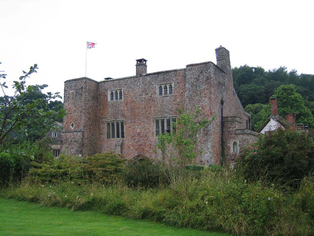
Bickleigh Castle

Bickleigh Castle is a fortified manor house that stands on the banks of the River Exe at Bickleigh in Devon, England. Once considerably larger, Bickleigh...

Bickleigh, Mid Devon

Bickleigh is a village and civil parish in the Mid Devon district of Devon, England, about four miles south of Tiverton. It is in the former hundred of...

Nearby Amenities

Located within 500m of 50.881846,-3.5558713
The data included in this document is from www.openstreetmap.org. The data is made available under ODbL.

Have you been to Langley Copse?

Leave your review of Langley Copse below (or comments, questions and feedback).