West Dunster Plantation
Wood, Forest in Devon Mid Devon
England
West Dunster Plantation

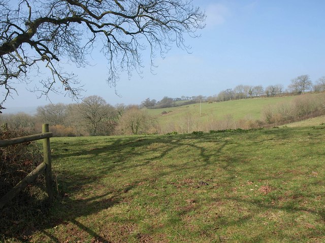
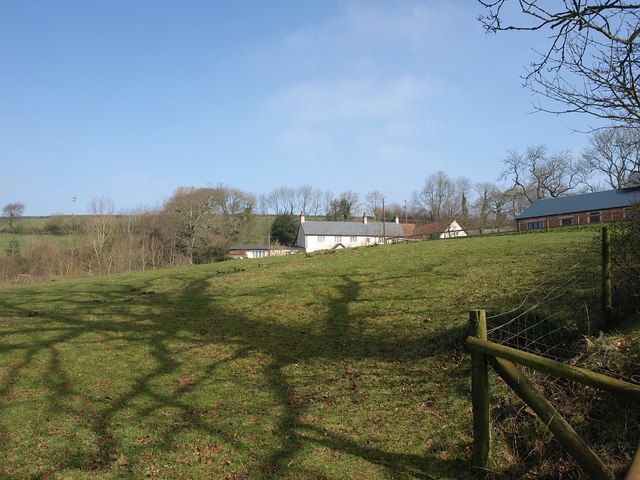
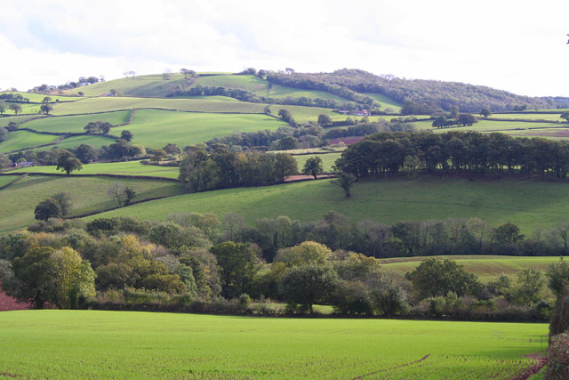
West Dunster Plantation, located in Devon, England, is a magnificent woodland area that encompasses a vast expanse of natural beauty. Covering an area of approximately 500 acres, this plantation is a haven for nature enthusiasts, hikers, and those seeking a peaceful retreat in the heart of Devon.
The plantation is primarily composed of native broadleaf trees such as oak, beech, and birch, creating a diverse and rich ecosystem. These towering trees provide a dense canopy that filters the sunlight, casting a magical ambiance throughout the plantation. Underneath the canopy, a lush undergrowth of ferns, mosses, and wildflowers thrives, adding to the enchanting atmosphere.
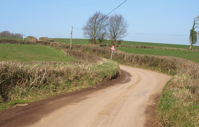
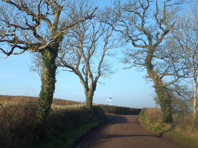
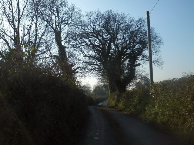
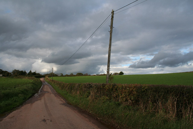
The woodland is crisscrossed by a network of well-maintained trails that allow visitors to explore the plantation at their own pace. These trails wind through the woodland, offering glimpses of hidden ponds, babbling brooks, and ancient stone walls. The diversity of wildlife in the area is also astounding; birdwatchers can spot various species of birds, including woodpeckers and owls, while lucky visitors may even catch a glimpse of elusive deer or foxes.
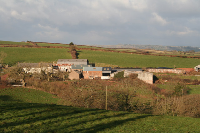
West Dunster Plantation is not only a natural paradise but also holds historical significance. Traces of ancient settlements and archaeological remains can be found within the plantation, providing a fascinating insight into the area's past.
Whether one seeks solitude, natural beauty, or a chance to connect with history, West Dunster Plantation is an ideal destination. With its captivating woodlands, diverse wildlife, and intriguing history, it offers a memorable experience for all who venture into its serene embrace.
If you have any feedback on the listing, please let us know in the comments section below.
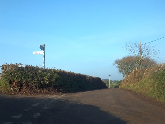
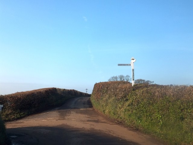
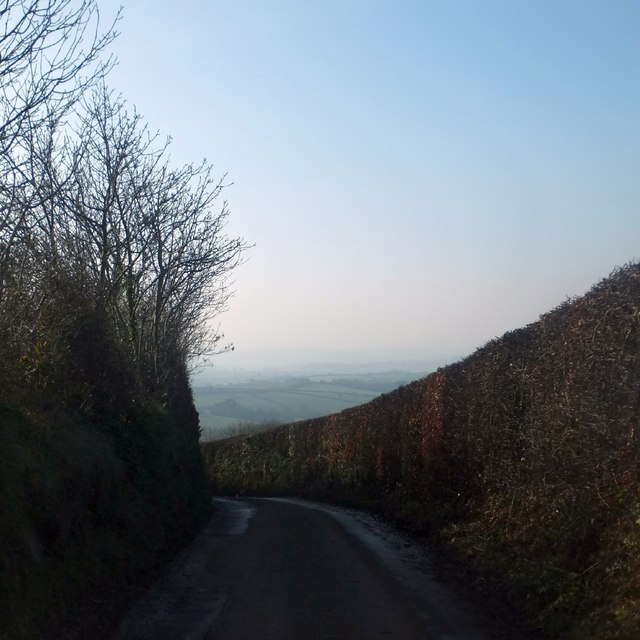
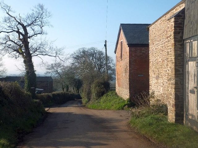
West Dunster Plantation Images
Images are sourced within 2km of 50.862991/-3.5576449 or Grid Reference SS9008. Thanks to Geograph Open Source API. All images are credited.


West Dunster Plantation is located at Grid Ref: SS9008 (Lat: 50.862991, Lng: -3.5576449)
Administrative County: Devon
District: Mid Devon
Police Authority: Devon and Cornwall
What 3 Words
///drift.acrobatic.shovels. Near Tiverton, Devon
Nearby Locations
Related Wikis
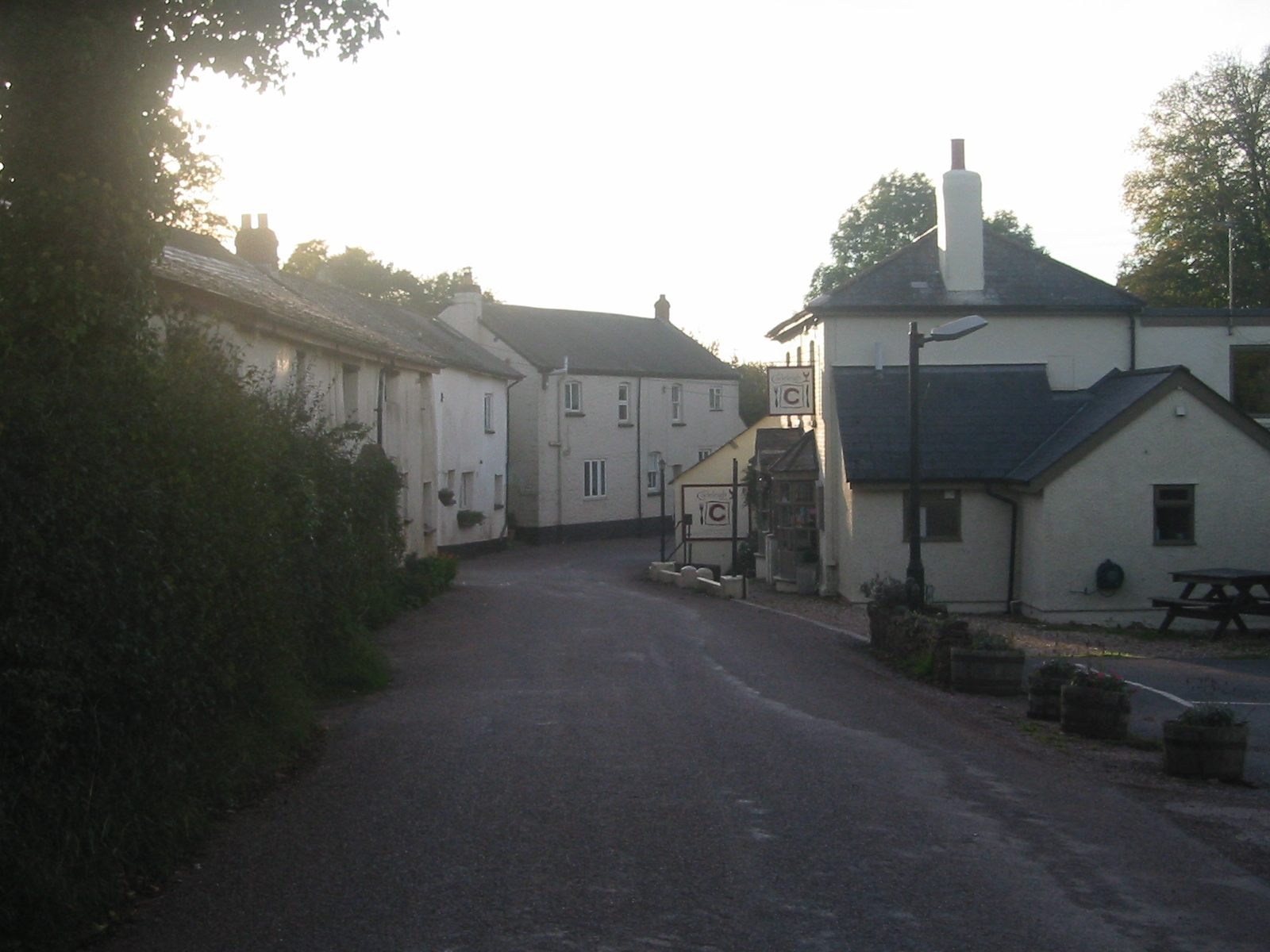
Cadeleigh
Cadeleigh is a small village in the county of Devon in England. It sits in the hills above the valley of the River Exe and is about 15 km (9 miles) north...

The Fisherman's Cot
The Fisherman's Cot is an inn on the A3072 road to the northwest of Bickleigh near Tiverton, in northeastern Devon. It is operated by Marston's Inns and...

Cadbury Castle, Devon
Cadbury Castle is an Iron Age Hillfort close to Bickleigh, Devon, England. It was later encamped by the Parliamentarian forces during the English Civil...

Devon Railway Centre
The Devon Railway Centre is in the village of Bickleigh in Mid Devon, England, at the former Cadeleigh railway station on the closed Great Western Railway...
Nearby Amenities
Located within 500m of 50.862991,-3.5576449Have you been to West Dunster Plantation?
Leave your review of West Dunster Plantation below (or comments, questions and feedback).