Carwithen Copse
Wood, Forest in Devon Mid Devon
England
Carwithen Copse

Carwithen Copse is a picturesque woodland located in Devon, England. Covering an area of approximately 20 acres, it is a haven for nature enthusiasts and those seeking tranquility amidst the beauty of the natural world. The copse is situated in a rural area, surrounded by rolling hills and fields, providing a stunning backdrop for visitors.
The woodland itself is predominantly composed of native broadleaf trees, including oak, beech, and ash, creating a diverse and vibrant ecosystem. The dense canopy of the trees provides shade on sunny days and shelters various bird species, such as woodpeckers and owls. The forest floor is covered in a rich carpet of wildflowers and ferns, adding to the enchanting atmosphere.
Carwithen Copse offers numerous walking trails, allowing visitors to explore the woodland at their own pace. These well-maintained paths wind through the trees, providing glimpses of small streams and clearings along the way. The copse is also home to a variety of wildlife, including deer, foxes, and rabbits, making it an ideal spot for wildlife watching and photography.
With its peaceful ambiance and natural charm, Carwithen Copse is a popular destination for picnics, family outings, and nature walks. The copse is well-preserved, and its beauty is enhanced by the absence of commercial development. Visitors can enjoy the serenity of the woods, away from the noise and bustle of everyday life.
Overall, Carwithen Copse is a hidden gem in Devon, offering a tranquil retreat for nature lovers and a glimpse into the beauty of the English countryside.
If you have any feedback on the listing, please let us know in the comments section below.
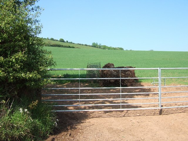
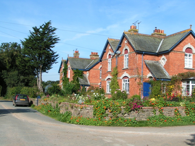
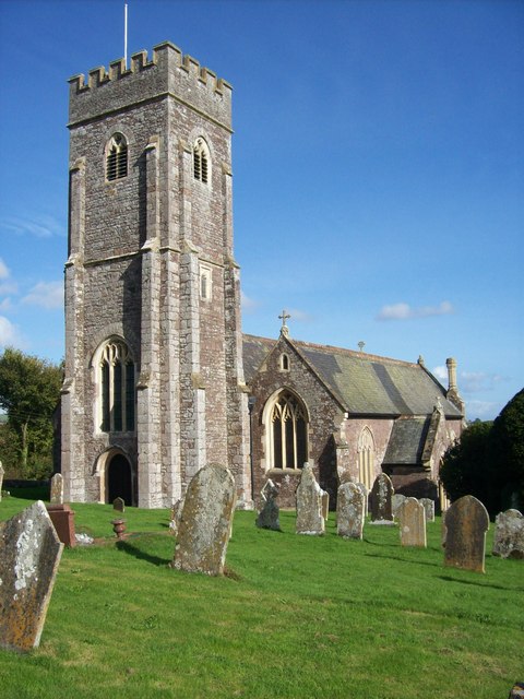
Carwithen Copse Images
Images are sourced within 2km of 50.802372/-3.556011 or Grid Reference SS9001. Thanks to Geograph Open Source API. All images are credited.


Carwithen Copse is located at Grid Ref: SS9001 (Lat: 50.802372, Lng: -3.556011)
Administrative County: Devon
District: Mid Devon
Police Authority: Devon and Cornwall
What 3 Words
///bloodshot.waltzed.thuds. Near Silverton, Devon
Nearby Locations
Related Wikis

Raddon Top
Raddon Top is the highest point of the Raddon Hills, a small ridge of hills in the Shobrooke area of Mid Devon. The summit is at some 235 metres above...

Thorverton
Thorverton is a civil parish and village in Devon, England, about a mile west of the River Exe and 8 miles (13 km) north of Exeter. It is almost centrally...

Cadbury, Devon
Cadbury is a village in Devon, England. Cadbury Castle is nearby. The 15th-century Church of St Michael and All Angels features a Norman font. The church...

Berrysbridge
Berrysbridge is a village in Devon, England. == External links == Media related to Berrysbridge at Wikimedia Commons

Stockleigh Pomeroy
Stockleigh Pomeroy is a village and civil parish in Devon, England at the foot of the Raddon Hills. The parish church which is dedicated to St Mary the...
Nether Exe
Nether Exe or Netherexe is a very small village and civil parish in Devon, England. It lies near the River Exe, as its name suggests, about 5 miles (8...
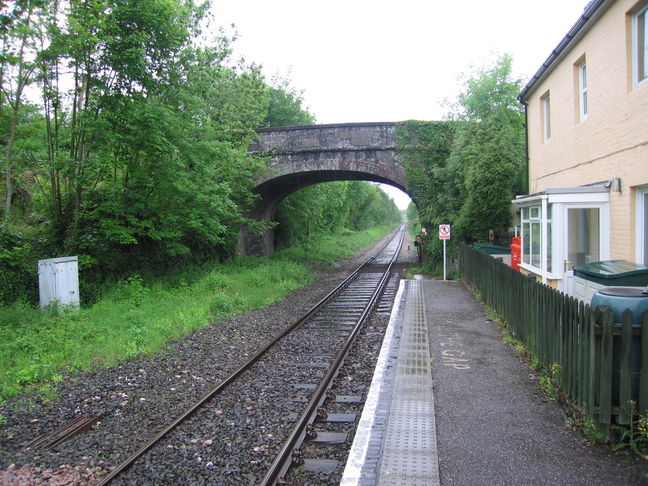
Newton St Cyres railway station
Newton St Cyres railway station is a railway station serving the village of Newton St Cyres, Devon, England. It is served by Great Western Railway trains...
Shobrooke
Shobrooke is a village, parish and former manor in Devon, England. The village is situated about 1 1/2 miles north-east of Crediton. It is located close...
Have you been to Carwithen Copse?
Leave your review of Carwithen Copse below (or comments, questions and feedback).