Clachan of Campsie

Settlement in Stirlingshire

Scotland

Clachan of Campsie

End of the track past Knocknair Gateway onto the open fellside.
End of the track past Knocknair Credit: Chris Upson

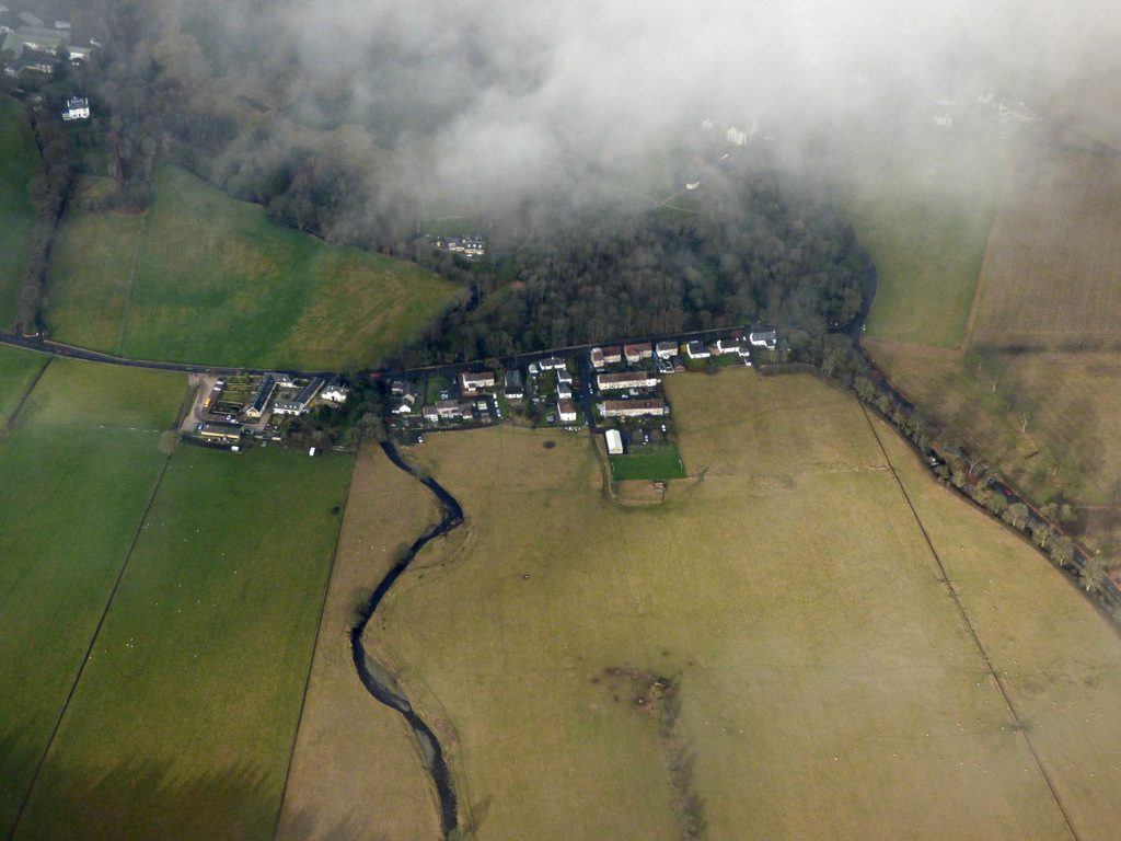
Clachan of Campsie is a small village located in Stirlingshire, Scotland. Situated at the foot of the Campsie Fells, the village is surrounded by lush green countryside and offers breathtaking views of the nearby hills. It is approximately 12 miles north of Glasgow and 7 miles east of Kirkintilloch.

The village is known for its picturesque charm and tranquil atmosphere, making it a popular destination for those seeking a peaceful retreat. Despite its small size, Clachan of Campsie is rich in history and heritage. The name "Clachan" translates to "small village" in Gaelic, reflecting its humble origins.

Visitors to Clachan of Campsie can explore the quaint streets lined with traditional stone cottages and historic buildings. The village is home to a charming 19th-century church, which serves as a prominent landmark and a testament to the village's long-standing religious roots.

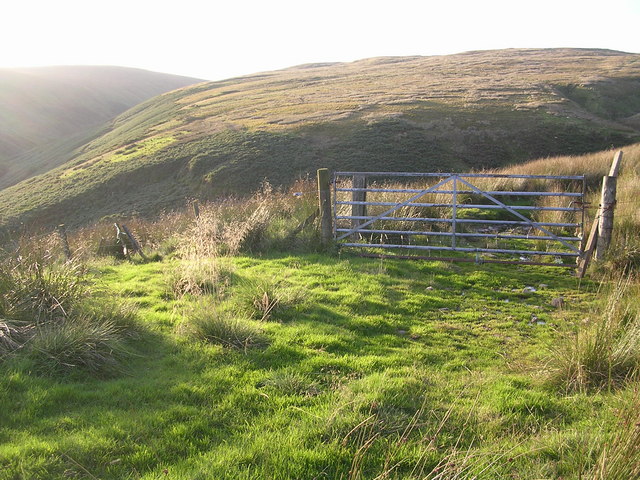
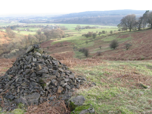
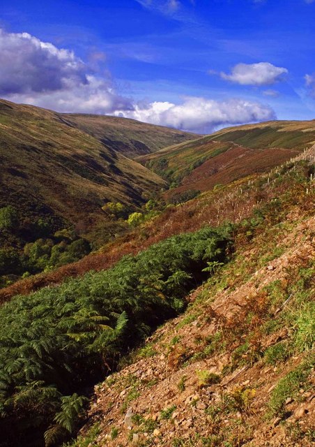
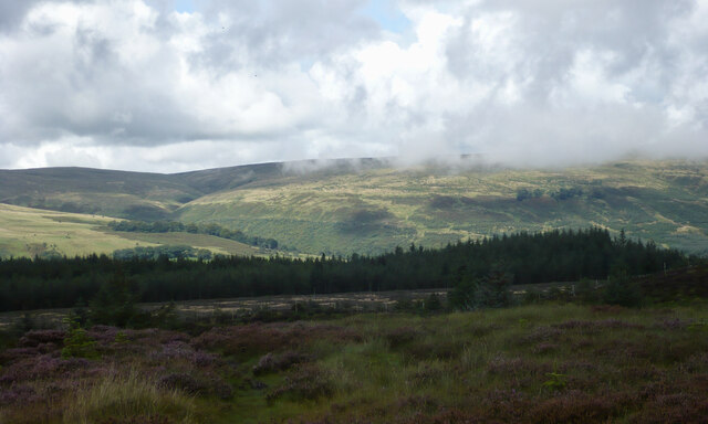
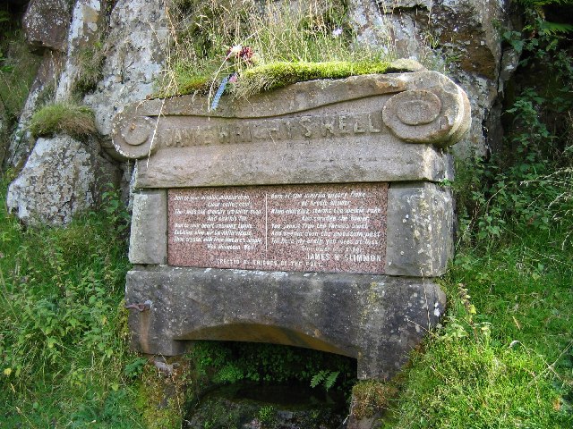
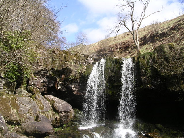
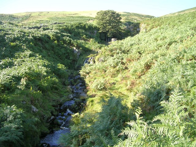
The surrounding natural beauty provides ample opportunities for outdoor activities, such as hiking, cycling, and birdwatching. The Campsie Fells offer a range of walking trails, suitable for both beginners and experienced hikers. The nearby Glengoyne Distillery, famous for its single malt Scotch whisky, is also a popular attraction for tourists and whisky enthusiasts.

The village boasts a close-knit community, with a handful of local amenities including a post office, a primary school, and a few shops. Clachan of Campsie is well-connected to neighboring towns and cities, with regular bus services and easy access to major road networks.

In summary, Clachan of Campsie is a charming village nestled amidst the stunning Scottish countryside, offering a peaceful retreat and a glimpse into Scotland's rich history and natural beauty.

If you have any feedback on the listing, please let us know in the comments section below.

Clachan of Campsie Images

Images are sourced within 2km of 55.988722/-4.228813 or Grid Reference NS6179. Thanks to Geograph Open Source API. All images are credited.

End of the track past Knocknair Gateway onto the open fellside.
End of the track past Knocknair
Gateway onto the open fellside.
Cairn above Fin Glen
Fin Glen A view looking north up Fin Glen.
Fin Glen
A view looking north up Fin Glen.
Young trees by Alnwick Bridge A newish, slow growing plantation in the Campsie Fells.
Young trees by Alnwick Bridge
A newish, slow growing plantation in the Campsie Fells.
Moorland above the Crow Road The slopes of Holehead have been planted with trees. Much moorland remains but is now ungrazed save for the deer and a small number of sheep which have breached the fences.
Moorland above the Crow Road
The slopes of Holehead have been planted with trees. Much moorland remains but is now ungrazed save for the deer and a small number of sheep which have breached the fences.
Basalt boulders On the lower slopes of Holehead in generally smooth rock free ground.
Basalt boulders
On the lower slopes of Holehead in generally smooth rock free ground.
A passing shower over the Campsie Fells Some cloud brushes the tops of the hillsides on a day of sunshine and showers. 

A view taken from the trig pillar on Blairskaith Muir.
A passing shower over the Campsie Fells
Some cloud brushes the tops of the hillsides on a day of sunshine and showers. A view taken from the trig pillar on Blairskaith Muir.
Carpark on the B822
Carpark on the B822
Path to the summit of Black Craig From the car park on Crow Road.
Path to the summit of Black Craig
From the car park on Crow Road.
Campsie Glen From beside the car park on Crow Road.
Campsie Glen
From beside the car park on Crow Road.
Allanhead A small ruined house across Campsie Glen from the car park on Crow Road. There has been a lot of tree growth since Robert Murray photographed it in 2011 <a href="https://www.geograph.org.uk/photo/2593153">NS6180 : Alanfauld Farm (ruins)</a>
Allanhead
A small ruined house across Campsie Glen from the car park on Crow Road. There has been a lot of tree growth since Robert Murray photographed it in 2011 NS6180 : Alanfauld Farm (ruins)
Abandoned car A 2010 Nissan 370Z car, which has been driven through the low wall at the car park and viewpoint on Crow Road and ended up part way down the slope, having suffered considerable damage on the way down.
Abandoned car
A 2010 Nissan 370Z car, which has been driven through the low wall at the car park and viewpoint on Crow Road and ended up part way down the slope, having suffered considerable damage on the way down.
Corner on the Crow Road The B822 seen from the car park at Campsie Glen. From here the road descends into Lennoxtown.
Corner on the Crow Road
The B822 seen from the car park at Campsie Glen. From here the road descends into Lennoxtown.
Jamie Wright's Well,  B822 Lennoxtown - Fintry Road Jamie Wright's Well beside the Crow Road has existed since time immemorial but was converted into the Slimmon Memorial to commemorate the local poet James Slimmon, who died in 1898.
Jamie Wright's Well, B822 Lennoxtown - Fintry Road
Jamie Wright's Well beside the Crow Road has existed since time immemorial but was converted into the Slimmon Memorial to commemorate the local poet James Slimmon, who died in 1898.
Waterfalls on Kirk Burn above Campsie Glen Campsie Glen is a stunning, secluded beauty spot within easy reach of Glasgow
Waterfalls on Kirk Burn above Campsie Glen
Campsie Glen is a stunning, secluded beauty spot within easy reach of Glasgow
Alnwick Bridge, above Campsie Glen Crosses Alnwick Burn which leads down into Campsie Glen
Alnwick Bridge, above Campsie Glen
Crosses Alnwick Burn which leads down into Campsie Glen
Aldessan Burn, Campsie Fells
Alvain Burn, Campsie Fells
Show me another place!

Clachan of Campsie is located at Grid Ref: NS6179 (Lat: 55.988722, Lng: -4.228813)

Unitary Authority: East Dunbartonshire

Police Authority: Greater Glasgow

What 3 Words

///cement.actual.pictured. Near Lennoxtown, East Dunbartonshire

Nearby Locations

Clachan of Campsie

Related Wikis

Clachan of Campsie

Clachan of Campsie or Campsie Glen (Scottish Gaelic: Clachan Chamais) is a settlement in the East Dunbartonshire area of Scotland. It was formerly part...

Aldessan Burn

Located in East Dunbartonshire, the Aldessan Burn (Scottish Gaelic: Allt Easain, meaning "burn of the falls"; also known as the Kirk Burn) is formed as...

Haughhead

Haughhead is a hamlet two miles from Lennoxtown in East Dunbartonshire, Scotland. It was historically part of Stirlingshire until 1975, when it became...

Finglen Burn

The Finglen Burn is a burn in Scotland that runs from north east of the Earl's Seat (the highest point on the Campsie Fells) to just north of Campsie Village...

Nearby Amenities

Located within 500m of 55.988722,-4.228813
Clachan of Campsie
Name Gd: Clachan Chamais
Place: village
Lat/Long: 55.9886619/-4.2285997
Jame's Linn
Source Name: sign at bottom
Waterway: waterfall
Lat/Long: 55.9921502/-4.2301294
Lady's Linn
Source Name: sign at bottom
Waterway: waterfall
Lat/Long: 55.9917973/-4.2299683
Campsie Glen
Place: locality
Source: local_knowledge
Lat/Long: 55.992677/-4.2295283
Wheelcraft
Addr City: Glasgow
Addr Housename: Aldessan House
Addr Housenumber: unit 4
Addr Postcode: G66 7AB
Opening Hours: Mo-Sa 10:00-18:00
Operator: Alister Gow
Shop: bicycle
Lat/Long: 55.9892565/-4.2284897
Post Box
Postal Code: G66 7
Ref: G66 1122
Lat/Long: 55.9888341/-4.228839
Parking
Lat/Long: 55.9890013/-4.2286808
Cafe
Aldessan Gallery & Coffee Shop
Lat/Long: 55.9892389/-4.2288232
Campsie Glen
Hiking: yes
Information: map
Map Type: area
Tourism: information
Lat/Long: 55.9891652/-4.2285886
Toilets
Check Date: 2021-08-23
Fee: yes
Wheelchair: yes
Lat/Long: 55.9893426/-4.2281877
Bus Stop
Passenger Information Display: no
Shelter: no
Lat/Long: 55.9888222/-4.228363
Bus Stop
Strathblane Road
Bench: yes
Bin: yes
Lit: yes
Naptan AtcoCode: 6110189
Naptan NaptanCode: 65423265
Passenger Information Display: no
Shelter: yes
Tactile Paving: no
Lat/Long: 55.9854374/-4.2278051
Barrier: stile
Stile: steps
Lat/Long: 55.9877928/-4.2248662
Power: pole
Lat/Long: 55.9857539/-4.2330997
Power: pole
Lat/Long: 55.9858934/-4.2338037
Power: pole
Lat/Long: 55.9860399/-4.2345686
Power: pole
Lat/Long: 55.9861829/-4.2352747
Power: pole
Lat/Long: 55.9853249/-4.2273645
Power: pole
Lat/Long: 55.9853565/-4.2267422
Power: pole
Lat/Long: 55.9856074/-4.2255604
Power: pole
Lat/Long: 55.9858559/-4.2244079
Power: pole
Lat/Long: 55.986095/-4.2233078
Power: pole
Lat/Long: 55.9863388/-4.2221596
The data included in this document is from www.openstreetmap.org. The data is made available under ODbL.

Have you been to Clachan of Campsie?

Leave your review of Clachan of Campsie below (or comments, questions and feedback).