Pinkworthy Furzeball Plantation
Wood, Forest in Devon Mid Devon
England
Pinkworthy Furzeball Plantation
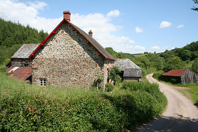
![Oakford: Spurway Barton Derelict outbuildings near a ruined farmhouse. A public footpath runs by. The Spurway family had settled here by 1244 and the property remained in the family's hands until well into the 20th century [Source: W G Hoskins. Devon. 1992]](https://s3.geograph.org.uk/photos/08/81/088147_fea2feb3.jpg)
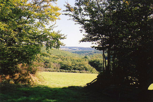
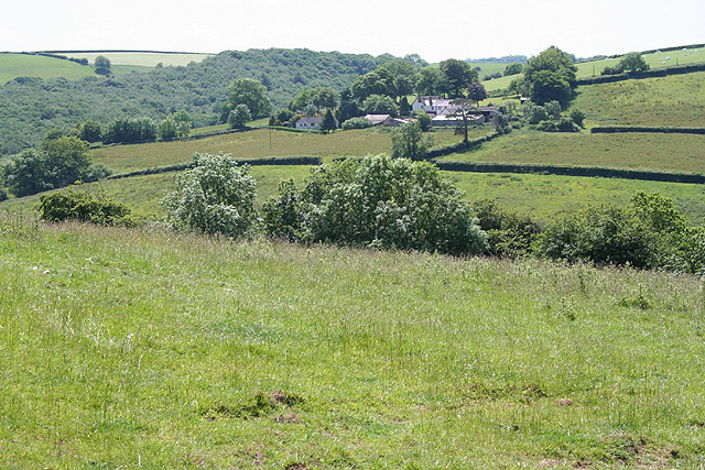
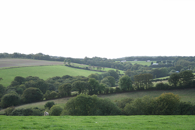
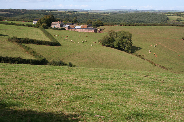
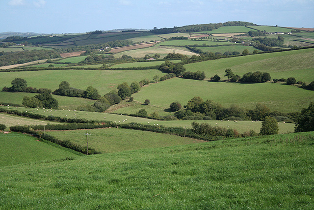
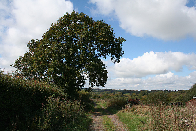
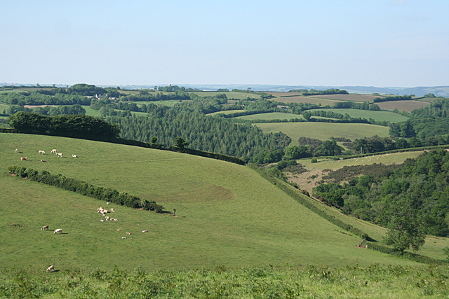
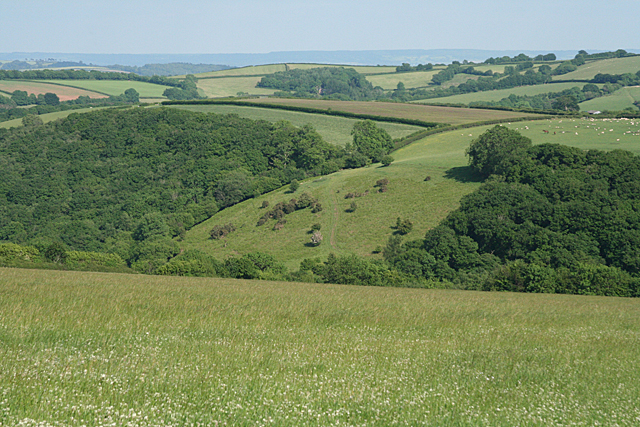
Pinkworthy Furzeball Plantation is a charming woodland located in Devon, England. Situated in the heart of the picturesque countryside, it covers an area of approximately 100 acres. This stunning plantation is renowned for its diverse range of flora and fauna, making it a popular destination for nature enthusiasts and hikers alike.
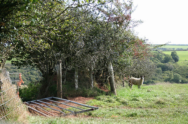
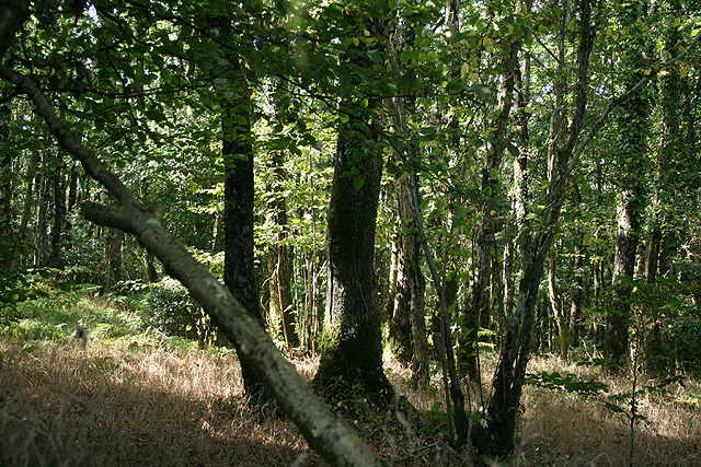
The woodland is predominantly composed of oak and beech trees, which create a dense and enchanting canopy, providing a haven for various wildlife species. Walking through the plantation, visitors can spot an array of native animals such as deer, badgers, foxes, and a multitude of bird species, including woodpeckers and owls.
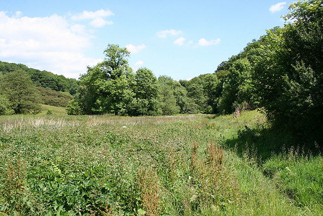
The woodland floor is adorned with a rich tapestry of wildflowers, including bluebells, primroses, and wild garlic, which create a stunning display during the spring months. In addition to the vibrant flora, Pinkworthy Furzeball Plantation also boasts a small stream that meanders through the trees, adding to the tranquility and beauty of the surroundings.
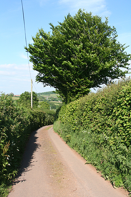
For those seeking outdoor activities, the woodland offers a network of well-maintained trails, perfect for hiking and cycling. The pathways wind their way through the plantation, allowing visitors to explore the diverse landscapes and discover hidden treasures within the woods.
Pinkworthy Furzeball Plantation is a true gem in the Devon countryside, offering a peaceful retreat for nature lovers and a chance to immerse oneself in the beauty of the natural world. Whether it is a leisurely stroll, a wildlife-spotting adventure, or simply a moment of serenity, this woodland is a must-visit destination for anyone seeking an escape from the hustle and bustle of everyday life.
If you have any feedback on the listing, please let us know in the comments section below.
Pinkworthy Furzeball Plantation Images
Images are sourced within 2km of 50.971624/-3.5706208 or Grid Reference SS8920. Thanks to Geograph Open Source API. All images are credited.

Pinkworthy Furzeball Plantation is located at Grid Ref: SS8920 (Lat: 50.971624, Lng: -3.5706208)
Administrative County: Devon
District: Mid Devon
Police Authority: Devon and Cornwall
What 3 Words
///employers.richest.marginal. Near Dulverton, Somerset
Related Wikis

Oakford, Devon
Oakford is a village and civil parish in the Mid Devon district of Devon, England. It is located three miles (5 km) south west of Bampton and eight miles...

Oakfordbridge
Oakfordbridge is a village in Devon, England. == References == The geographic coordinates are from the Ordnance Survey. == External links == Media related...

Stoodleigh
Stoodleigh is a village and civil parish in the Mid Devon district of Devon, England, located 6 miles (10 km) north of Tiverton and 5 miles (8 km) south...

Loxbeare
Loxbeare is a village and civil parish in Devon, England. The church is from the twelfth century and the tower is probably Norman. It is dedicated to St...
Nearby Amenities
Located within 500m of 50.971624,-3.5706208Have you been to Pinkworthy Furzeball Plantation?
Leave your review of Pinkworthy Furzeball Plantation below (or comments, questions and feedback).