East Pinkworthy Wood
Wood, Forest in Devon Mid Devon
England
East Pinkworthy Wood
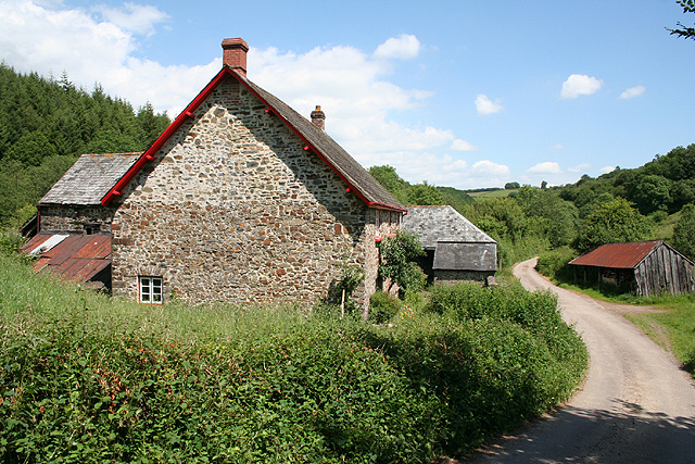
![Oakford: Spurway Barton Derelict outbuildings near a ruined farmhouse. A public footpath runs by. The Spurway family had settled here by 1244 and the property remained in the family's hands until well into the 20th century [Source: W G Hoskins. Devon. 1992]](https://s3.geograph.org.uk/photos/08/81/088147_fea2feb3.jpg)
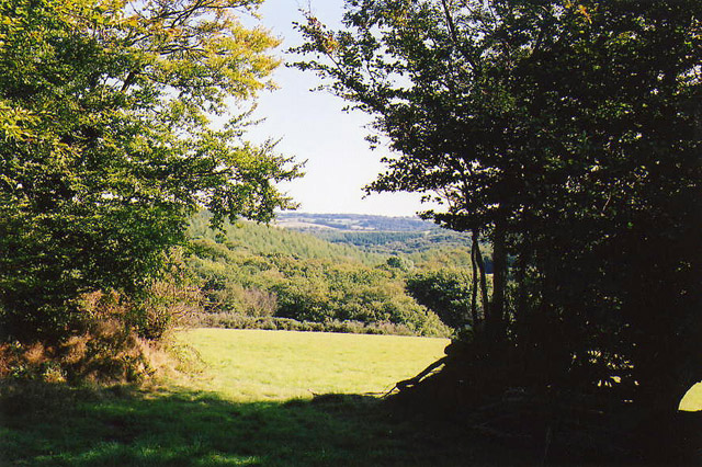
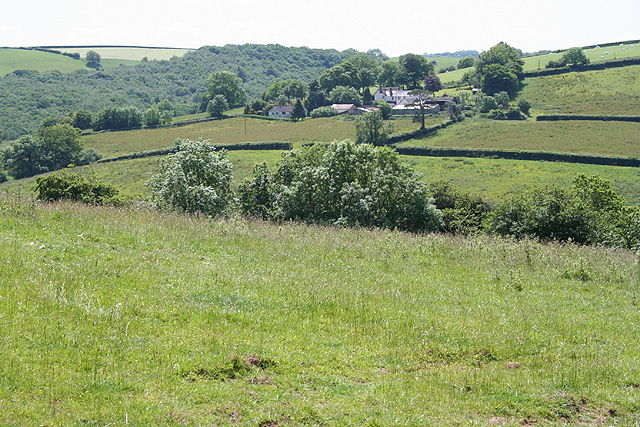
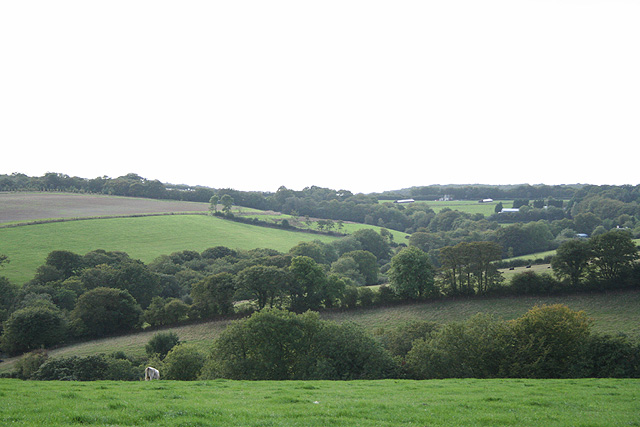
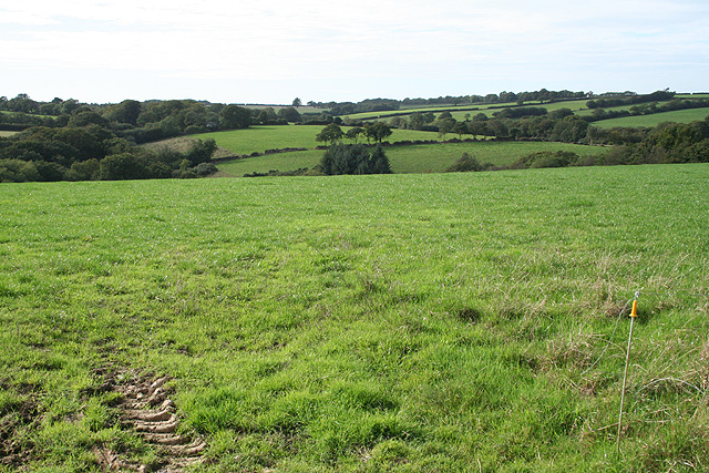
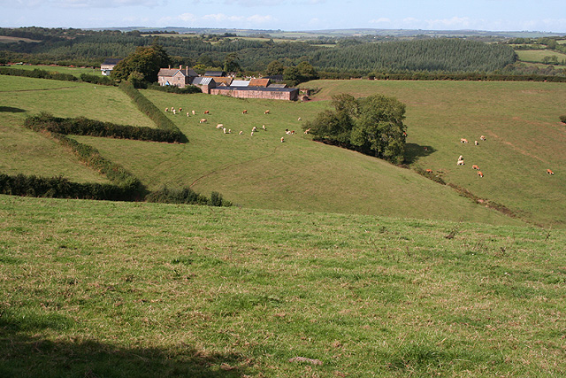
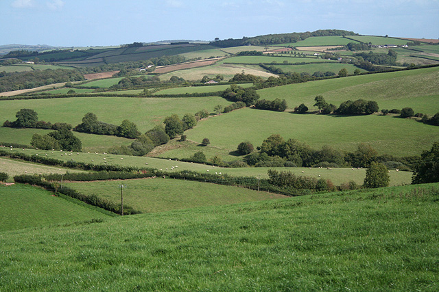
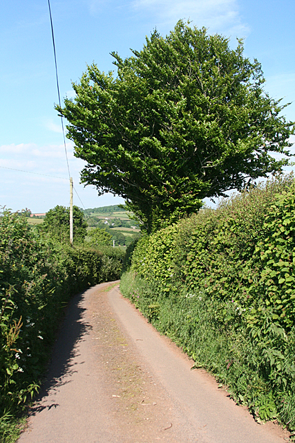
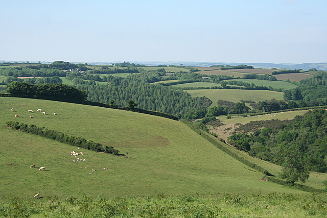
East Pinkworthy Wood is a picturesque woodland located in the county of Devon, England. Situated near the village of Pinkworthy, the wood covers an area of approximately 100 acres, making it a substantial and diverse forested area. The wood is known for its natural beauty and tranquil atmosphere, attracting nature enthusiasts and outdoor lovers alike.
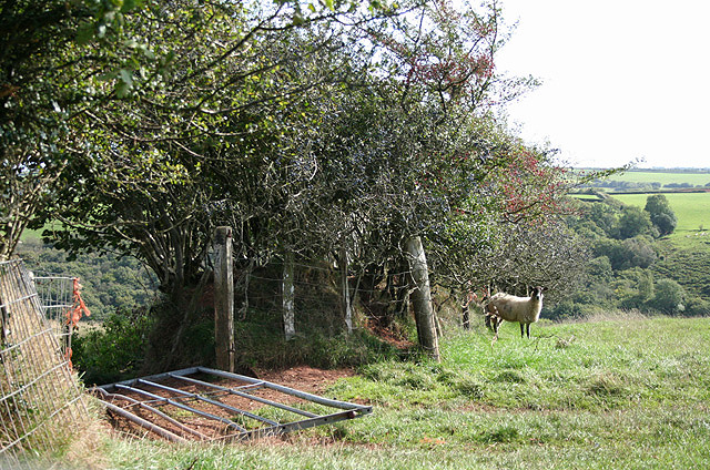
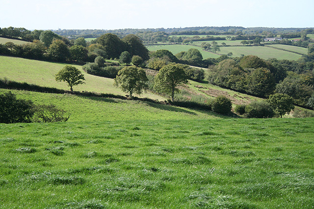
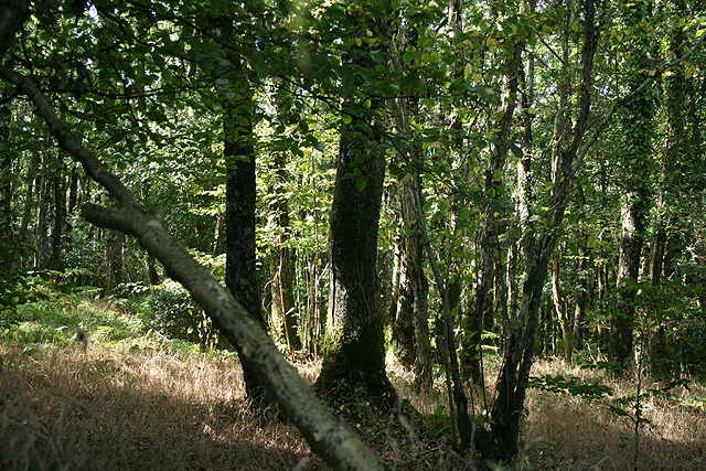
The woodland is predominantly composed of broadleaf trees, including oak, beech, and ash, which create a dense canopy overhead. These trees provide a habitat for a wide variety of wildlife, such as birds, squirrels, and deer, making it a popular spot for birdwatching and wildlife photography.
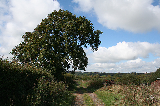
A network of well-maintained trails wind through the wood, allowing visitors to explore its beauty at their own pace. The paths meander through the trees, revealing hidden clearings, babbling brooks, and occasional glimpses of stunning vistas. There are also picnic spots and benches scattered throughout the wood, providing opportunities for visitors to relax and enjoy the peaceful surroundings.
East Pinkworthy Wood is particularly renowned for its vibrant display of wildflowers during the spring and summer months. Bluebells, primroses, and wood anemones carpet the forest floor, creating a magical and colorful scene. As the seasons change, the wood transforms, with golden hues in autumn and frost-covered branches in winter.
The wood is managed by the local authorities, who ensure that it remains a cherished natural resource for both locals and visitors to enjoy. With its stunning landscapes, diverse wildlife, and peaceful atmosphere, East Pinkworthy Wood is a must-visit destination for those seeking a connection with nature in the heart of Devon.
If you have any feedback on the listing, please let us know in the comments section below.
East Pinkworthy Wood Images
Images are sourced within 2km of 50.972403/-3.5749058 or Grid Reference SS8920. Thanks to Geograph Open Source API. All images are credited.


East Pinkworthy Wood is located at Grid Ref: SS8920 (Lat: 50.972403, Lng: -3.5749058)
Administrative County: Devon
District: Mid Devon
Police Authority: Devon and Cornwall
What 3 Words
///radiated.snack.narrates. Near Dulverton, Somerset
Related Wikis

Oakford, Devon
Oakford is a village and civil parish in the Mid Devon district of Devon, England. It is located three miles (5 km) south west of Bampton and eight miles...

Oakfordbridge
Oakfordbridge is a village in Devon, England. == References == The geographic coordinates are from the Ordnance Survey. == External links == Media related...

Stoodleigh
Stoodleigh is a village and civil parish in the Mid Devon district of Devon, England, located 6 miles (10 km) north of Tiverton and 5 miles (8 km) south...

Rackenford and Knowstone Moors
Rackenford and Knowstone Moors is a nature reserve of the Devon Wildlife Trust, situated about 8 miles (13 km) north-west of Tiverton, in Devon, England...
Nearby Amenities
Located within 500m of 50.972403,-3.5749058Have you been to East Pinkworthy Wood?
Leave your review of East Pinkworthy Wood below (or comments, questions and feedback).