Black Down Copse

Wood, Forest in Devon Mid Devon

England

Black Down Copse

Cruwys Morchard: Way Village Cottages by an old chapel
Cruwys Morchard: Way Village Credit: Martin Bodman

Black Down Copse is a captivating woodland located in the county of Devon, England. Situated near the town of Newton Abbot, it covers an area of approximately 50 acres and forms part of the larger Black Down Nature Reserve. The copse is nestled within a picturesque landscape, surrounded by rolling hills and lush green meadows.

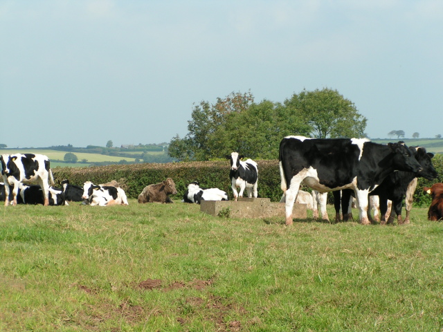
This ancient woodland is predominantly composed of broadleaved trees, including oak, beech, and ash, which create a rich and diverse ecosystem. The dense canopy provides a welcoming habitat for various bird species, such as woodpeckers and owls, while the forest floor supports a wide range of flora, including bluebells, foxgloves, and wild garlic.

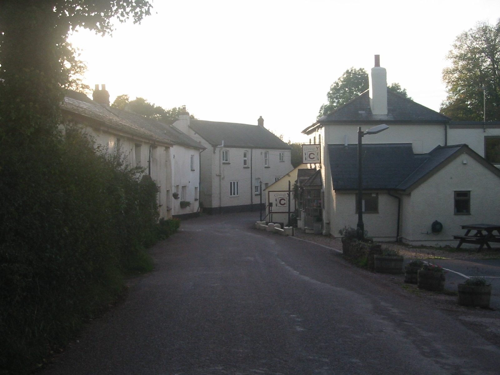
Visitors to Black Down Copse can explore its network of winding footpaths, allowing them to immerse themselves in the tranquility and natural beauty of the forest. The copse also offers excellent opportunities for wildlife observation and nature photography, making it a popular destination for nature enthusiasts and photographers alike.

In addition to its natural wonders, Black Down Copse also holds historical significance. It is believed that the woodland has been in existence for centuries, with evidence of human activity dating back to the Bronze Age. The copse has also been used for timber production throughout its history, playing a role in the local economy.

Overall, Black Down Copse is a captivating woodland that offers a peaceful retreat for those seeking to connect with nature. Its enchanting beauty, diverse wildlife, and historical importance make it a cherished destination for both locals and visitors to Devon.

If you have any feedback on the listing, please let us know in the comments section below.

Black Down Copse Images

Images are sourced within 2km of 50.879771/-3.5684679 or Grid Reference SS8910. Thanks to Geograph Open Source API. All images are credited.

Cruwys Morchard: Way Village Cottages by an old chapel
Cruwys Morchard: Way Village
Cottages by an old chapel
Cruwys Morchard: Windmill Farm Entrance to farmyard. In 1553 a windmill stood across the road to the east, probably near the trig point 253m up from sea level, where it would have worked in all winds
Cruwys Morchard: Windmill Farm
Entrance to farmyard. In 1553 a windmill stood across the road to the east, probably near the trig point 253m up from sea level, where it would have worked in all winds
Cruwys Morchard: near Old Ford House Overlooking a valley; its stream a tributary of the Dart, itself a tributary of the Exe. Looking west-south-west
Cruwys Morchard: near Old Ford House
Overlooking a valley; its stream a tributary of the Dart, itself a tributary of the Exe. Looking west-south-west
Cruwys Morchard: Thorne Farm Looking north east with a new Massey Ferguson tractor parked up
Cruwys Morchard: Thorne Farm
Looking north east with a new Massey Ferguson tractor parked up
Way Village Church facing west from the church gate
Way Village Church
facing west from the church gate
Black Down Copse A stream runs along the edge of the copse and drains into the River Dart, one of numerous wooded side valleys in the area. Seen from the track between Kingdom's Corner and Cotton Farm, as it climbs away from another stream beside Quarry Close Copse.
Black Down Copse
A stream runs along the edge of the copse and drains into the River Dart, one of numerous wooded side valleys in the area. Seen from the track between Kingdom's Corner and Cotton Farm, as it climbs away from another stream beside Quarry Close Copse.
The road to Hookway
The road to Hookway
Chicken and lake at Hookway
Looking towards Way Village, cut hay in the fields
Cows near Thorne Farm
Way Village church
Way Village church
Road Junction south of Way Village
Towards Furze Farm Countryside northwest of Brindiwell, with a view across a valley east of Upham from the ridge lane between Moor View and Brindiwell Cross. Furze Farm is on the right.
Towards Furze Farm
Countryside northwest of Brindiwell, with a view across a valley east of Upham from the ridge lane between Moor View and Brindiwell Cross. Furze Farm is on the right.
Lane near Brindiwell Cross The lane west of Brindiwell Cross, following a ridge towards Upham. This hedge must be a good two metres across.
Lane near Brindiwell Cross
The lane west of Brindiwell Cross, following a ridge towards Upham. This hedge must be a good two metres across.
Gate and trees near Brindiwell Cross Looking across the lane from the spot where <a href="https://www.geograph.org.uk/photo/2318502">SS8908 : Lane near Brindiwell Cross</a> was taken, with gorse in the corner of a field.
Gate and trees near Brindiwell Cross
Looking across the lane from the spot where SS8908 : Lane near Brindiwell Cross was taken, with gorse in the corner of a field.
Corner of field near Brindiwell Cross The trunk of the oak tree in <a href="https://www.geograph.org.uk/photo/2318515">SS8908 : Gate and trees near Brindiwell Cross</a> is in the foreground. over the crest of the hill, the field drops down into the valley shown in <a href="https://www.geograph.org.uk/photo/2318499">SS8908 : Towards Furze Farm</a>.
Corner of field near Brindiwell Cross
The trunk of the oak tree in SS8908 : Gate and trees near Brindiwell Cross is in the foreground. over the crest of the hill, the field drops down into the valley shown in SS8908 : Towards Furze Farm.
Haydon Farm From a lane following the parish boundary along high ground between Cheriton Fitzpaine and Cadeleigh; the farm is in the latter.
Haydon Farm
From a lane following the parish boundary along high ground between Cheriton Fitzpaine and Cadeleigh; the farm is in the latter.
Beerash Cross Another view of the lane junction shown in <a href="https://www.geograph.org.uk/photo/990387">SS8909 : Between Cadeleigh and Way Village</a>, from the lane arriving from Building's Cross.
Beerash Cross
Another view of the lane junction shown in SS8909 : Between Cadeleigh and Way Village, from the lane arriving from Building's Cross.
Show me another place!

Black Down Copse is located at Grid Ref: SS8910 (Lat: 50.879771, Lng: -3.5684679)

Administrative County: Devon

District: Mid Devon

Police Authority: Devon and Cornwall

What 3 Words

///bordering.drips.vitals. Near Tiverton, Devon

Related Wikis

Cruwys Morchard

Cruwys Morchard is an ecclesiastical and civil parish in the Mid Devon district of the county of Devon in England. It is located about four to five miles...

Cadeleigh

Cadeleigh is a small village in the county of Devon in England. It sits in the hills above the valley of the River Exe and is about 15 km (9 miles) north...

Templeton, Devon

Templeton is a hamlet, parish and former manor in Devon, England, situated 4 miles west of Tiverton. The parish church is dedicated to St Margaret. �...

The Fisherman's Cot

The Fisherman's Cot is an inn on the A3072 road to the northwest of Bickleigh near Tiverton, in northeastern Devon. It is operated by Marston's Inns and...

Devon Railway Centre

The Devon Railway Centre is in the village of Bickleigh in Mid Devon, England, at the former Cadeleigh railway station on the closed Great Western Railway...

Poughill, Devon

Poughill (pronounced "po-il") is a village and civil parish in Devon, England. It lies 5 miles (8 km) north of Crediton. In 2011, the parish had a population...

Calverleigh

Calverleigh (anciently Calwoodleigh) is a village and former civil parish and manor, now in the parish of Loxbeare, in the Mid Devon district, in the county...

Cheriton Fitzpaine

Cheriton Fitzpaine is a village in Devon, England, located 4 miles (7 km) north-east of Crediton. The population of the parish in the 2011 Census was 556...

Nearby Amenities

Located within 500m of 50.879771,-3.5684679
Generator Method: photovoltaic
Generator Output Electricity: yes
Generator Source: solar
Generator Type: solar_photovoltaic_panel
Location: roof
Power: generator
Lat/Long: 50.8835336/-3.5697726
The data included in this document is from www.openstreetmap.org. The data is made available under ODbL.

Have you been to Black Down Copse?

Leave your review of Black Down Copse below (or comments, questions and feedback).