Harriford Copse

Wood, Forest in Somerset Somerset West and Taunton

England

Harriford Copse

Brushford: Knowle Farm
Brushford: Knowle Farm Credit: Martin Bodman

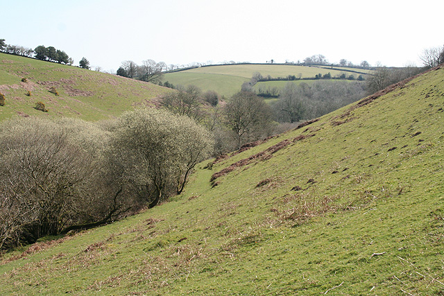
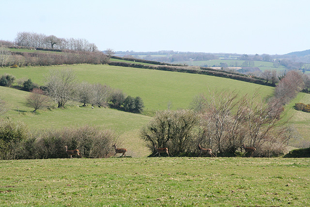
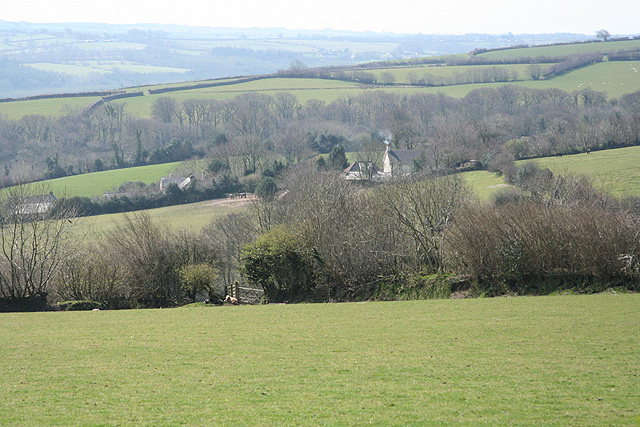
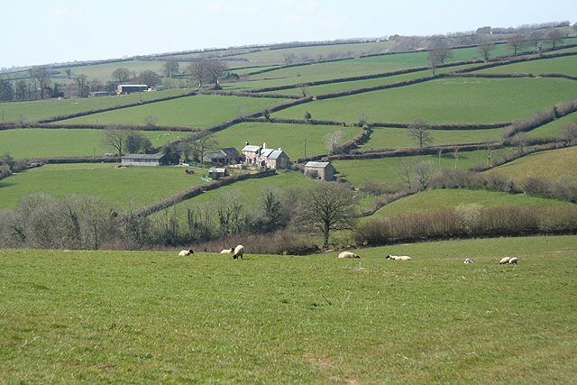
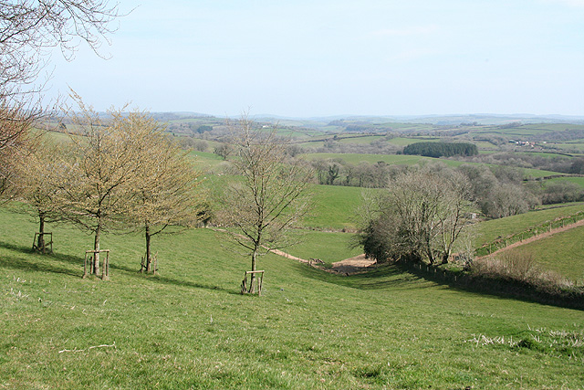
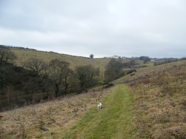
Harriford Copse is a picturesque woodland located in the county of Somerset, England. Spanning approximately 50 acres, it is a captivating example of a traditional British copse, characterized by a dense cluster of trees and shrubs. The copse is situated in a rural setting, surrounded by rolling hills and meadows, enhancing its natural beauty and tranquility.

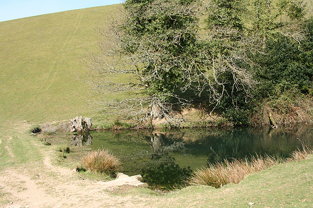
The woodland primarily consists of a mix of deciduous and evergreen trees, including oak, beech, ash, and birch. These majestic trees create a dense canopy, providing shade and shelter for a diverse range of flora and fauna. The forest floor is adorned with a carpet of wildflowers, including bluebells, primroses, and wood anemones, adding a burst of color to the landscape during the spring months.

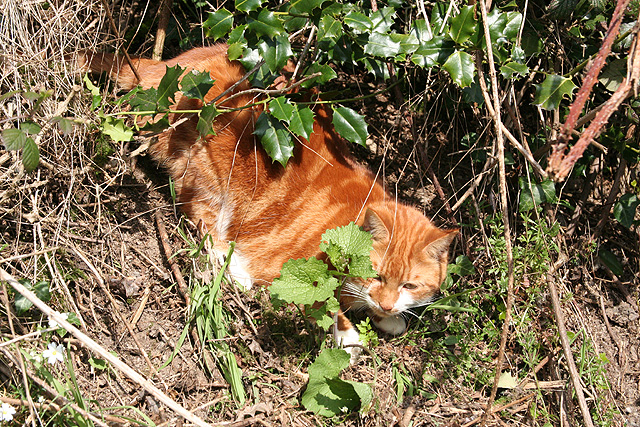
Harriford Copse is a haven for wildlife, attracting a variety of bird species such as woodpeckers, thrushes, and owls. Squirrels can be spotted darting amongst the branches, while badgers and foxes make their homes in the undergrowth. The copse is also home to a multitude of insects, including butterflies and beetles, contributing to the ecological balance of the woodland.

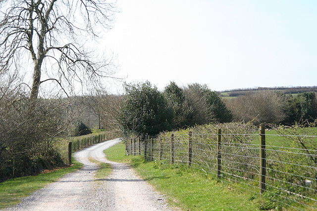
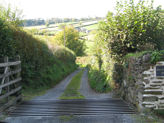
Visitors to Harriford Copse can enjoy leisurely walks along the well-maintained footpaths, which wind through the forest, allowing them to immerse themselves in the natural surroundings. The copse is open to the public throughout the year and serves as an idyllic location for picnics, photography, and nature study.

Overall, Harriford Copse is a captivating woodland, offering a serene escape from the hustle and bustle of everyday life. With its diverse flora and fauna, it provides a wonderful opportunity to connect with nature and appreciate the beauty of the Somerset countryside.

If you have any feedback on the listing, please let us know in the comments section below.

Harriford Copse Images

Images are sourced within 2km of 51.027611/-3.576848 or Grid Reference SS8926. Thanks to Geograph Open Source API. All images are credited.

Brushford: Knowle Farm
Looking North From West Knowle
Brushford: Venn Looking north from the lane between West Knowle and Hawkwell Cross
Brushford: Venn
Looking north from the lane between West Knowle and Hawkwell Cross
Brushford: Bere A farm in remote country between East Anstey and Dulverton, seen from its entrance gate. The track leading to the farm and on to Broomball Cross is also a public bridleway. Looking north west
Brushford: Bere
A farm in remote country between East Anstey and Dulverton, seen from its entrance gate. The track leading to the farm and on to Broomball Cross is also a public bridleway. Looking north west
Brushford: between Nightcott and Upcott Looking south from the Brushford – Nightcott lane
Brushford: between Nightcott and Upcott
Looking south from the Brushford – Nightcott lane
Brushford: by Trackford Moor On the access road to Lower Sowerhill. Looking south west
Brushford: by Trackford Moor
On the access road to Lower Sowerhill. Looking south west
Dulverton: footbridge over stream On the public footpath between Dulverton and Waddicombe, looking east
Dulverton: footbridge over stream
On the public footpath between Dulverton and Waddicombe, looking east
Dulverton: below Chilcott Looking east in the direction of Lower Chilcott Wood, in a hidden valley, with pussy willow by a stream
Dulverton: below Chilcott
Looking east in the direction of Lower Chilcott Wood, in a hidden valley, with pussy willow by a stream
Dulverton: by Lower Chilcott A cat enjoying Easter sunshine
Dulverton: by Lower Chilcott
A cat enjoying Easter sunshine
Dulverton: Higher Chilcott Farm Home of Pine Lodge Riding Holidays. Looking north east. See <span class="nowrap"><a title="http://www.pinelodge.countryside-inter.net/introductionframe.htm" rel="nofollow ugc noopener" href="http://www.pinelodge.countryside-inter.net/introductionframe.htm">Link</a><img style="margin-left:2px;" alt="External link" title="External link - shift click to open in new window" src="https://s1.geograph.org.uk/img/external.png" width="10" height="10"/></span>
Dulverton: Higher Chilcott Farm
Home of Pine Lodge Riding Holidays. Looking north east. See LinkExternal link
Dulverton: track to Cawkett Looking south west
Dulverton: track to Cawkett
Looking south west
Dulverton: five hinds Near Chilcott Cross, looking east
Dulverton: five hinds
Near Chilcott Cross, looking east
Dulverton: towards Higher Chilcott Looking south west. Higher Chilcott - beyond the square - has smoke rising from a chimney and Lower Chilcott is to the left of this farm
Dulverton: towards Higher Chilcott
Looking south west. Higher Chilcott - beyond the square - has smoke rising from a chimney and Lower Chilcott is to the left of this farm
Dulverton: pond By the footpath from Dulverton to Waddicombe, and clearly man made, with a dam height of 12 feet or more. Looking west
Dulverton: pond
By the footpath from Dulverton to Waddicombe, and clearly man made, with a dam height of 12 feet or more. Looking west
East Anstey: towards West Liscombe
Dulverton: near Ridlers By the bridleway to Bere and Knowle. Looking east-south-east over a west Somerset landscape
Dulverton: near Ridlers
By the bridleway to Bere and Knowle. Looking east-south-east over a west Somerset landscape
Track to East Liscombe Farm
Footpath from Chilcott Lane towards Chiltons The path runs through newly planted trees, across the slope down to a bridge over the stream, before a steep climb back up theother side.
Footpath from Chilcott Lane towards Chiltons
The path runs through newly planted trees, across the slope down to a bridge over the stream, before a steep climb back up theother side.
Show me another place!

Harriford Copse is located at Grid Ref: SS8926 (Lat: 51.027611, Lng: -3.576848)

Administrative County: Somerset

District: Somerset West and Taunton

Police Authority: Avon and Somerset

What 3 Words

///bloom.flux.tourist. Near Dulverton, Somerset

Related Wikis

Briggins Moor

Briggins Moor is a 15.3 hectare biological Site of Special Scientific Interest in Somerset, notified in 1994. The site is south of Dulverton and close...

Combe, Dulverton

Combe is a historic estate in Somerset, England, situated between the town of Dulverton and the village of Brushford. == Descent == === Taunton Priory... ===

Barle Bridge

Barle Bridge is a five span stone arch bridge over the River Barle in Dulverton within the English county of Somerset, which is medieval in origin. It...

Oldberry Castle

Oldberry Castle (sometimes called Oldbury Castle) is an Iron Age hill fort north west of Dulverton, Somerset, England. It lies approximately 0.5 miles...

Dulverton Town Hall

Dulverton Town Hall is a municipal building in Fore Street in Dulverton, Somerset, England. The building, which is the meeting place of Dulverton Town...

Northmoor, Dulverton

Northmoor is an historic estate in the parish of Dulverton in Somerset, England. The Victorian mansion house known as Northmoor House is set amongst steep...

Church of All Saints, Dulverton

The Anglican Church of All Saints in Dulverton, Somerset, England was built in the 15th century and largely rebuilt in the 1850s. It is a Grade II* listed...

Dulverton

Dulverton is a town and civil parish in west Somerset, England, near the border with Devon. The town had a population of 1,408 at the 2011 Census. The...

Nearby Amenities

Located within 500m of 51.027611,-3.576848
Grit Bin
Lat/Long: 51.0275527/-3.5749674
The data included in this document is from www.openstreetmap.org. The data is made available under ODbL.

Have you been to Harriford Copse?

Leave your review of Harriford Copse below (or comments, questions and feedback).