Hill Copse

Wood, Forest in Devon Mid Devon

England

Hill Copse

Bridge Marker on the A337 in Newton St Cyres County Bridge Marker sunk in the tarmac of the pavement beside the front gate of No.3 on the north side of the A337 Main Road, 100 metres west of Shuttern Bridge, Shuttern Brook. Newton St Cyres parish. The bridge was built at County expense in 1831, replacing an old packbridge and ford, and the stone marks the extent of roadway adjoining the bridge that the County was obliged to maintain.

Milestone Society National ID: DV_EXBS04br
Bridge Marker on the A337 in Newton St Cyres Credit: A Rosevear

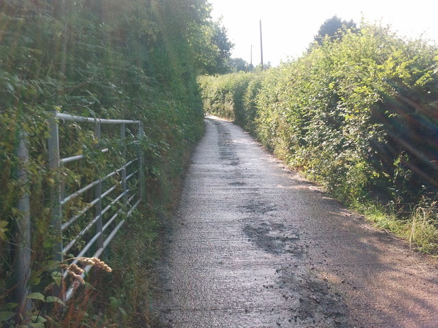
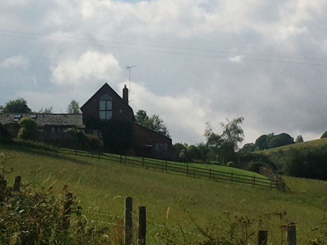
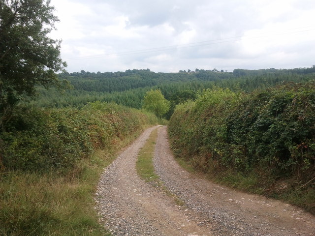
Hill Copse is a picturesque woodland located in Devon, England. Situated just outside the village of Devonshire, this forest is a popular destination for nature enthusiasts and hikers alike. Covering an area of approximately 50 acres, Hill Copse offers a tranquil escape from the hustle and bustle of daily life.

The woodland is characterized by a diverse range of tree species, including oak, beech, and ash trees. The dense canopy provides a cool and shady environment, making it an ideal spot for a leisurely stroll on a hot summer day. Visitors can also expect to encounter a variety of wildlife, such as deer, rabbits, and a wide array of bird species.

Trails wind their way through the forest, offering visitors the opportunity to explore its natural beauty. These paths are well-maintained and suitable for both beginners and experienced hikers. Along the way, there are several lookout points that offer stunning views of the surrounding countryside.

Hill Copse is also known for its historical significance. It is believed that the woodland has been in existence for centuries and has served as a source of timber for local communities. Remnants of old logging activities can still be seen in certain areas of the forest.

Overall, Hill Copse is a charming woodland that provides a peaceful retreat for nature lovers. Its combination of natural beauty, diverse wildlife, and historical significance make it a must-visit destination in Devon.

If you have any feedback on the listing, please let us know in the comments section below.
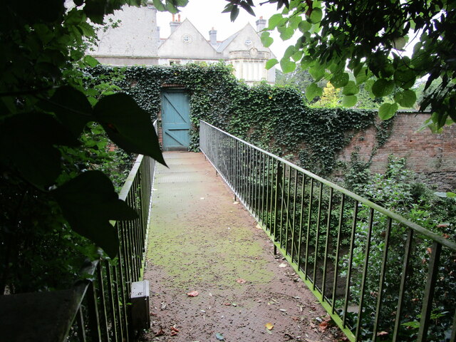
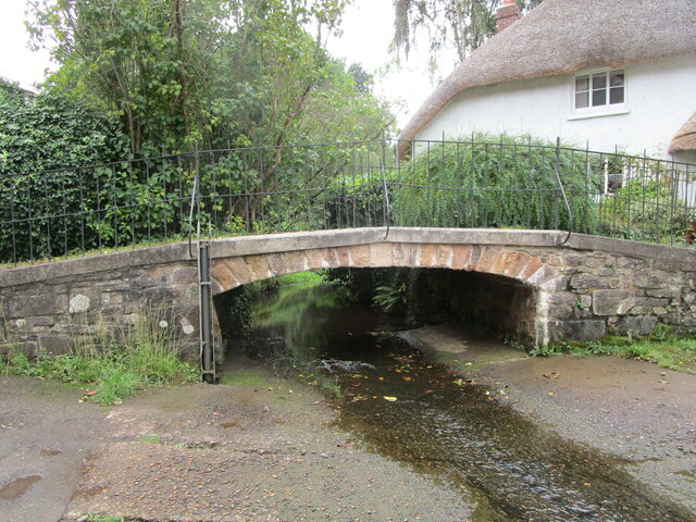
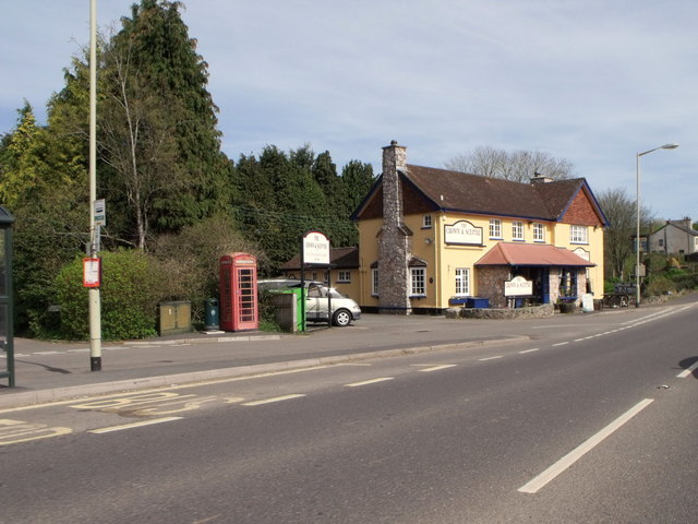
Hill Copse Images

Images are sourced within 2km of 50.761395/-3.5683908 or Grid Reference SX8996. Thanks to Geograph Open Source API. All images are credited.

Bridge Marker on the A337 in Newton St Cyres County Bridge Marker sunk in the tarmac of the pavement beside the front gate of No.3 on the north side of the A337 Main Road, 100 metres west of Shuttern Bridge, Shuttern Brook. Newton St Cyres parish. The bridge was built at County expense in 1831, replacing an old packbridge and ford, and the stone marks the extent of roadway adjoining the bridge that the County was obliged to maintain.

Milestone Society National ID: DV_EXBS04br
Bridge Marker on the A337 in Newton St Cyres
County Bridge Marker sunk in the tarmac of the pavement beside the front gate of No.3 on the north side of the A337 Main Road, 100 metres west of Shuttern Bridge, Shuttern Brook. Newton St Cyres parish. The bridge was built at County expense in 1831, replacing an old packbridge and ford, and the stone marks the extent of roadway adjoining the bridge that the County was obliged to maintain. Milestone Society National ID: DV_EXBS04br
Steps and the church of St. Cyr and Julitta, Newron St, Cyres
Newton St. Cyres, Pump Street ford
A377 and bridge to Newton House
Private footbridge to Newton House Crosses the A377.
Private footbridge to Newton House
Crosses the A377.
Old Shuttern Bridge, Newton St. Cyres Eighteenth century footbridge <span class="nowrap"><a title="https://historicengland.org.uk/listing/the-list/list-entry/1107079?section=official-listing" rel="nofollow ugc noopener" href="https://historicengland.org.uk/listing/the-list/list-entry/1107079?section=official-listing">Link</a><img style="margin-left:2px;" alt="External link" title="External link - shift click to open in new window" src="https://s1.geograph.org.uk/img/external.png" width="10" height="10"/></span>
Old Shuttern Bridge, Newton St. Cyres
Eighteenth century footbridge LinkExternal link
New Shuttern Bridge, Newton St. Cyres Carries the A377. Dates from the early nineteenth century <span class="nowrap"><a title="https://historicengland.org.uk/listing/the-list/list-entry/1107080?section=official-listing" rel="nofollow ugc noopener" href="https://historicengland.org.uk/listing/the-list/list-entry/1107080?section=official-listing">Link</a><img style="margin-left:2px;" alt="External link" title="External link - shift click to open in new window" src="https://s1.geograph.org.uk/img/external.png" width="10" height="10"/></span>
New Shuttern Bridge, Newton St. Cyres
Carries the A377. Dates from the early nineteenth century LinkExternal link
Footbridge over A377 The bridge links the churchyard (left) and Newton House
Footbridge over A377
The bridge links the churchyard (left) and Newton House
Crown and Sceptre public house, Newton St. Cyres, Devon
Lane with a gate
Lane with a gate
House on a hill
House on a hill
Newton House
Newton House
Dead end lane at East Holme
Houses on Woodlands
Houses on Woodlands
Timber stacks at the top of Tinpit Lane
Shed and entrance to a field
Unsurfaced lane
Unsurfaced lane
The Heart of Newton St Cyres from the footpath to the school Looking down from the footpath which runs above the A377 from Pump Street up to the end of Sand Down Lane by the school. The church and grave yard are on the hill on the opposite side of the valley to the left and Newton House is over to the right. Pump lane is in the valley below the field in the foreground.
The A377 goes through a cutting which is the high brick wall between the church and Newton House.
The Heart of Newton St Cyres from the footpath to the school
Looking down from the footpath which runs above the A377 from Pump Street up to the end of Sand Down Lane by the school. The church and grave yard are on the hill on the opposite side of the valley to the left and Newton House is over to the right. Pump lane is in the valley below the field in the foreground. The A377 goes through a cutting which is the high brick wall between the church and Newton House.
Show me another place!

Hill Copse is located at Grid Ref: SX8996 (Lat: 50.761395, Lng: -3.5683908)

Administrative County: Devon

District: Mid Devon

Police Authority: Devon and Cornwall

What 3 Words

///encoding.education.airliners. Near Exeter, Devon

Related Wikis

Cowley, Devon

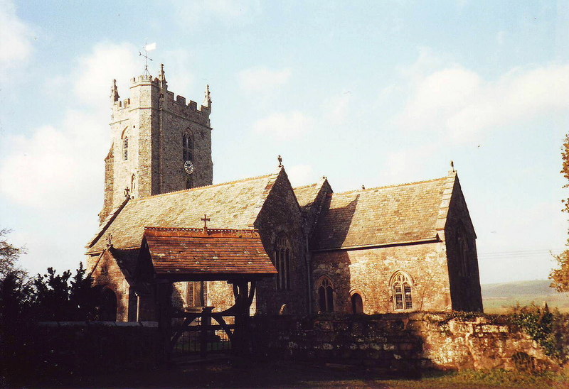
Cowley is a hamlet in the parish of Upton Pyne in Devon, England. Cowley church was built as a chapel of ease to Brampford Speke by Rohde Hawkins in 1867...

Upton Pyne

Upton Pyne is a parish and village in Devon, England. The parish lies just north west of Exeter, mainly between the River Exe and River Creedy. The village...

Newton St Cyres

Newton St Cyres (, like "sires") is a village, civil parish former manor and former ecclesiastical parish in Mid Devon, in the English county of Devon...
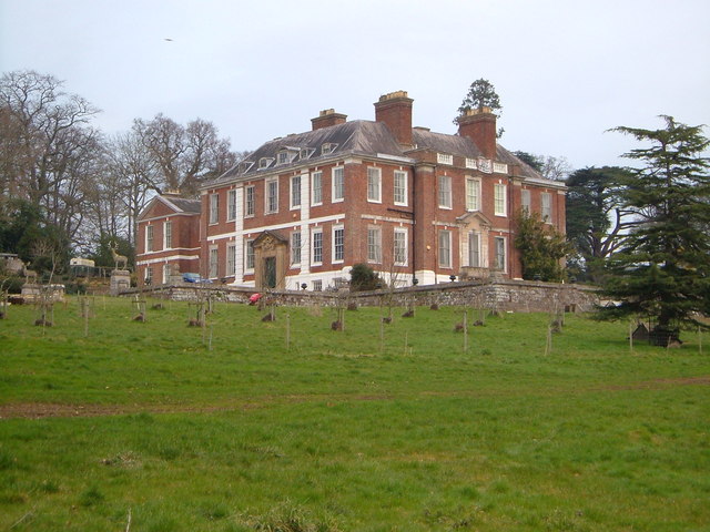
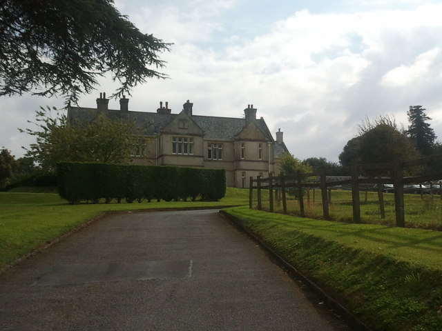
Pynes House

Pynes House is a Grade II* listed Queen Anne style country house built by Hugh Stafford between around 1700 and 1725, situated in the parish of Upton Pyne...

Nearby Amenities

Located within 500m of 50.761395,-3.5683908
Cafe
Half Moon Cafe
Lat/Long: 50.7622047/-3.5642466
Bus Stop
Bus: yes
Public Transport: platform
Shelter: yes
Lat/Long: 50.7642877/-3.5664651
Post Box
Brand: Royal Mail
Brand Wikidata: Q638098
Operator: Royal Mail
Operator Wikidata: Q638098
Post Box Mounting: pier
Post Box Type: lamp
Lat/Long: 50.7644579/-3.5665688
Bus Stop
Bus: yes
Public Transport: platform
Shelter: no
Lat/Long: 50.7643189/-3.5663661
Half Moon
Is In: Devon, England, UK
Place: village
Lat/Long: 50.7650721/-3.5672128
Information: board
Tourism: information
Lat/Long: 50.761969/-3.5638564
Parking
Access: yes
Parking: surface
Lat/Long: 50.7619044/-3.5637653
PRCars
Shop: car_repair
Lat/Long: 50.7642525/-3.5661202
Barrier: stile
Lat/Long: 50.7611733/-3.5734884
Generator Method: photovoltaic
Generator Output Electricity: yes
Generator Source: solar
Generator Type: solar_photovoltaic_panel
Location: roof
Power: generator
Lat/Long: 50.7652578/-3.5666059
Generator Method: photovoltaic
Generator Output Electricity: yes
Generator Source: solar
Generator Type: solar_photovoltaic_panel
Location: roof
Power: generator
Lat/Long: 50.7643773/-3.5663444
Generator Method: photovoltaic
Generator Output Electricity: yes
Generator Source: solar
Generator Type: solar_photovoltaic_panel
Location: roof
Power: generator
Lat/Long: 50.7658541/-3.5691699
Power: pole
Lat/Long: 50.7627095/-3.5626537
Power: pole
Lat/Long: 50.763014/-3.5625402
Power: pole
Lat/Long: 50.7615545/-3.5642339
Power: pole
Lat/Long: 50.7649583/-3.5712285
Power: pole
Lat/Long: 50.7637368/-3.5715303
Power: pole
Lat/Long: 50.7626459/-3.5717905
Power: pole
Lat/Long: 50.7617637/-3.5711011
Power: pole
Lat/Long: 50.7607372/-3.5703206
Power: pole
Lat/Long: 50.7600942/-3.5698137
Power: pole
Lat/Long: 50.7592238/-3.5691404
Power: pole
Lat/Long: 50.7584637/-3.5685584
Power: pole
Lat/Long: 50.7573438/-3.5670751
The data included in this document is from www.openstreetmap.org. The data is made available under ODbL.

Have you been to Hill Copse?

Leave your review of Hill Copse below (or comments, questions and feedback).