South Wood

Wood, Forest in Somerset Somerset West and Taunton

England

South Wood

Brushford: Knowle Farm
Brushford: Knowle Farm Credit: Martin Bodman

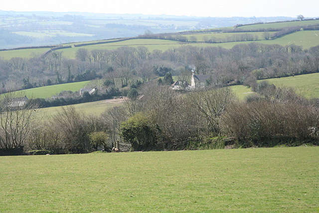
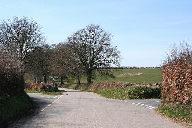
South Wood, Somerset, also known as Wood or Forest, is a picturesque village located in the county of Somerset, England. Nestled amidst rolling hills and lush greenery, South Wood is renowned for its natural beauty and tranquil atmosphere. The village is situated approximately 10 miles southwest of the bustling town of Taunton and is easily accessible by road.

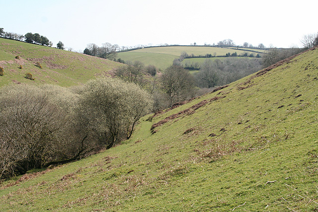
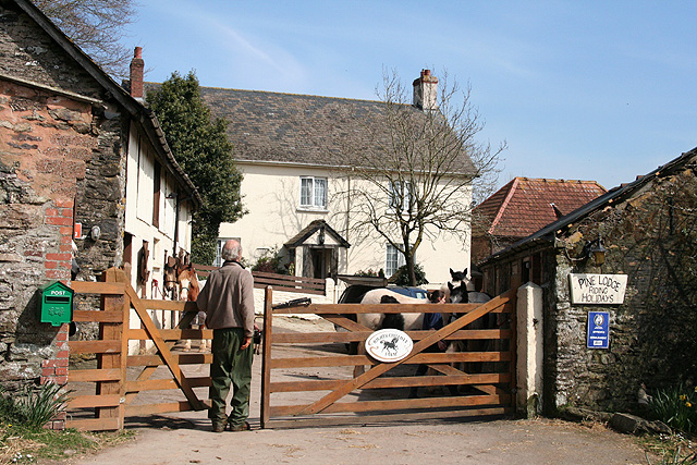
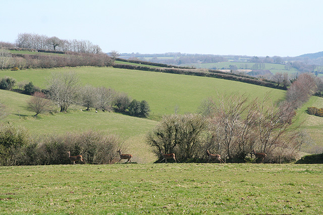
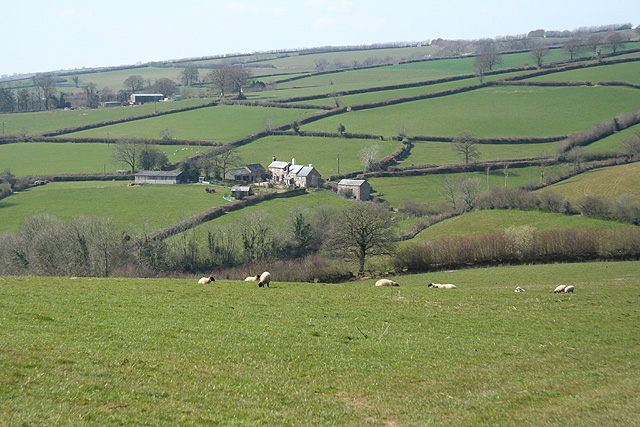
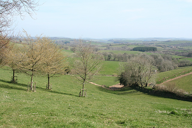
South Wood is characterized by its charming thatched-roof cottages, traditional stone buildings, and idyllic countryside views. The area is known for its rich history, with evidence of human settlement dating back to the Bronze Age. Visitors to the village can explore ancient burial mounds, stone circles, and other archaeological sites that provide insight into its past.

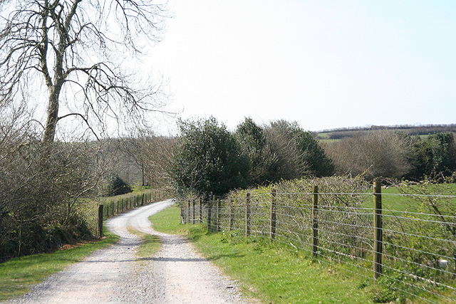
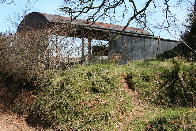
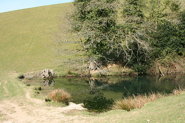
The community of South Wood is tight-knit and welcoming, with a population of around 500 residents. The village boasts a range of amenities, including a primary school, a village hall, a local pub, and a church. The surrounding countryside offers ample opportunities for outdoor activities such as walking, hiking, and cycling, with numerous scenic trails and paths to explore.

South Wood is also known for its thriving farming community, with agriculture playing a significant role in the local economy. The village is surrounded by fertile farmland, where crops such as wheat, barley, and potatoes are cultivated.

Overall, South Wood, Somerset is a charming and peaceful village that offers a perfect escape from the hustle and bustle of city life. Its natural beauty, rich history, and welcoming community make it an ideal destination for nature lovers, history enthusiasts, and those seeking a quieter way of life.

If you have any feedback on the listing, please let us know in the comments section below.

South Wood Images

Images are sourced within 2km of 51.032296/-3.5802017 or Grid Reference SS8927. Thanks to Geograph Open Source API. All images are credited.

Brushford: Knowle Farm
Looking North From West Knowle
Brushford: Venn Looking north from the lane between West Knowle and Hawkwell Cross
Brushford: Venn
Looking north from the lane between West Knowle and Hawkwell Cross
Brushford: Bere A farm in remote country between East Anstey and Dulverton, seen from its entrance gate. The track leading to the farm and on to Broomball Cross is also a public bridleway. Looking north west
Brushford: Bere
A farm in remote country between East Anstey and Dulverton, seen from its entrance gate. The track leading to the farm and on to Broomball Cross is also a public bridleway. Looking north west
Brushford: between Nightcott and Upcott Looking south from the Brushford – Nightcott lane
Brushford: between Nightcott and Upcott
Looking south from the Brushford – Nightcott lane
Dulverton: footbridge over stream On the public footpath between Dulverton and Waddicombe, looking east
Dulverton: footbridge over stream
On the public footpath between Dulverton and Waddicombe, looking east
Dulverton: below Chilcott Looking east in the direction of Lower Chilcott Wood, in a hidden valley, with pussy willow by a stream
Dulverton: below Chilcott
Looking east in the direction of Lower Chilcott Wood, in a hidden valley, with pussy willow by a stream
Dulverton: by Lower Chilcott A cat enjoying Easter sunshine
Dulverton: by Lower Chilcott
A cat enjoying Easter sunshine
Dulverton: Higher Chilcott Farm Home of Pine Lodge Riding Holidays. Looking north east. See <span class="nowrap"><a title="http://www.pinelodge.countryside-inter.net/introductionframe.htm" rel="nofollow ugc noopener" href="http://www.pinelodge.countryside-inter.net/introductionframe.htm">Link</a><img style="margin-left:2px;" alt="External link" title="External link - shift click to open in new window" src="https://s1.geograph.org.uk/img/external.png" width="10" height="10"/></span>
Dulverton: Higher Chilcott Farm
Home of Pine Lodge Riding Holidays. Looking north east. See LinkExternal link
Dulverton: track to Cawkett Looking south west
Dulverton: track to Cawkett
Looking south west
Dulverton: five hinds Near Chilcott Cross, looking east
Dulverton: five hinds
Near Chilcott Cross, looking east
Dulverton: by Chilcott Cross Looking north east towards a barn
Dulverton: by Chilcott Cross
Looking north east towards a barn
Dulverton: towards Higher Chilcott Looking south west. Higher Chilcott - beyond the square - has smoke rising from a chimney and Lower Chilcott is to the left of this farm
Dulverton: towards Higher Chilcott
Looking south west. Higher Chilcott - beyond the square - has smoke rising from a chimney and Lower Chilcott is to the left of this farm
Dulverton: pond By the footpath from Dulverton to Waddicombe, and clearly man made, with a dam height of 12 feet or more. Looking west
Dulverton: pond
By the footpath from Dulverton to Waddicombe, and clearly man made, with a dam height of 12 feet or more. Looking west
East Anstey: Five Cross Ways Looking west-south-west. The road ahead leads to West Anstey Common and Molland. The left turn runs to West Anstey and Yeo Mill. Right for Hawkridge and Tarr Steps. Behind the camera are roads from Oldways End and Dulverton. This is also the border between Somerset and Devon and the boundary of the Exmoor National Park - the park sign is by the signpost
East Anstey: Five Cross Ways
Looking west-south-west. The road ahead leads to West Anstey Common and Molland. The left turn runs to West Anstey and Yeo Mill. Right for Hawkridge and Tarr Steps. Behind the camera are roads from Oldways End and Dulverton. This is also the border between Somerset and Devon and the boundary of the Exmoor National Park - the park sign is by the signpost
East Anstey: East Liscombe A farmhouse with self-catering holiday cottages rated 4-star by the English Tourism Council. The barn on the right retains an old threshing machine which was powered by horses in a round house attached to the building. Looking west-north-west. See also <span class="nowrap"><a title="http://www.ansteymillscottagedevon.co.uk" rel="nofollow ugc noopener" href="http://www.ansteymillscottagedevon.co.uk">Link</a><img style="margin-left:2px;" alt="External link" title="External link - shift click to open in new window" src="https://s1.geograph.org.uk/img/external.png" width="10" height="10"/></span>
East Anstey: East Liscombe
A farmhouse with self-catering holiday cottages rated 4-star by the English Tourism Council. The barn on the right retains an old threshing machine which was powered by horses in a round house attached to the building. Looking west-north-west. See also LinkExternal link
East Anstey: towards West Liscombe
Dulverton: near Ridlers By the bridleway to Bere and Knowle. Looking east-south-east over a west Somerset landscape
Dulverton: near Ridlers
By the bridleway to Bere and Knowle. Looking east-south-east over a west Somerset landscape
Show me another place!

South Wood is located at Grid Ref: SS8927 (Lat: 51.032296, Lng: -3.5802017)

Administrative County: Somerset

District: Somerset West and Taunton

Police Authority: Avon and Somerset

What 3 Words

///transit.telephone.pounces. Near Dulverton, Somerset

Related Wikis

Oldberry Castle

Oldberry Castle (sometimes called Oldbury Castle) is an Iron Age hill fort north west of Dulverton, Somerset, England. It lies approximately 0.5 miles...

Northmoor, Dulverton

Northmoor is an historic estate in the parish of Dulverton in Somerset, England. The Victorian mansion house known as Northmoor House is set amongst steep...

Combe, Dulverton

Combe is a historic estate in Somerset, England, situated between the town of Dulverton and the village of Brushford. == Descent == === Taunton Priory... ===

Barle Bridge

Barle Bridge is a five span stone arch bridge over the River Barle in Dulverton within the English county of Somerset, which is medieval in origin. It...

Briggins Moor

Briggins Moor is a 15.3 hectare biological Site of Special Scientific Interest in Somerset, notified in 1994. The site is south of Dulverton and close...

Dulverton Town Hall

Dulverton Town Hall is a municipal building in Fore Street in Dulverton, Somerset, England. The building, which is the meeting place of Dulverton Town...

Church of All Saints, Dulverton

The Anglican Church of All Saints in Dulverton, Somerset, England was built in the 15th century and largely rebuilt in the 1850s. It is a Grade II* listed...

Dulverton

Dulverton is a town and civil parish in west Somerset, England, near the border with Devon. The town had a population of 1,408 at the 2011 Census. The...

Have you been to South Wood?

Leave your review of South Wood below (or comments, questions and feedback).