Long Wood
Wood, Forest in Devon South Hams
England
Long Wood
Long Wood is a picturesque forest located in Devon, England. Covering an area of approximately 500 acres, it is a popular destination for nature enthusiasts and hikers alike. The wood is situated near the village of Long, hence its name, and is easily accessible by both car and public transportation.
Long Wood is known for its diverse range of flora and fauna. The forest comprises a mix of deciduous and coniferous trees, including oak, beech, and pine, creating a rich and vibrant ecosystem. It is home to numerous bird species, such as woodpeckers, owls, and various songbirds, making it a haven for birdwatchers. Additionally, the forest provides a habitat for small mammals like squirrels, rabbits, and foxes.
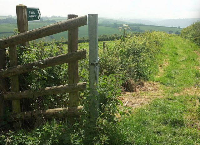
The wood is crisscrossed by a network of well-maintained walking trails, allowing visitors to explore its natural beauty. These paths wind through the forest, passing by tranquil ponds, babbling brooks, and ancient trees. The serene atmosphere and stunning scenery make it an ideal spot for a peaceful stroll or a family picnic.
Long Wood also offers opportunities for outdoor activities, including cycling and horse riding. The forest has designated trails for mountain biking, providing a thrilling experience for adrenaline seekers. Moreover, there are horse riding facilities within the wood, allowing equestrians to enjoy a scenic ride through the picturesque landscape.
Overall, Long Wood in Devon is a captivating destination for nature lovers, offering a diverse range of flora and fauna, scenic trails, and opportunities for outdoor activities. Its tranquil ambiance and natural beauty make it a must-visit location for those seeking a peaceful retreat in the heart of nature.
If you have any feedback on the listing, please let us know in the comments section below.
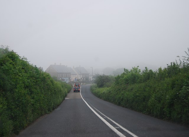
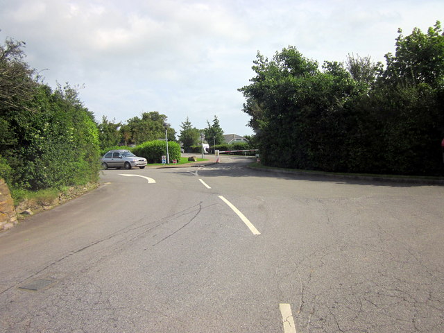
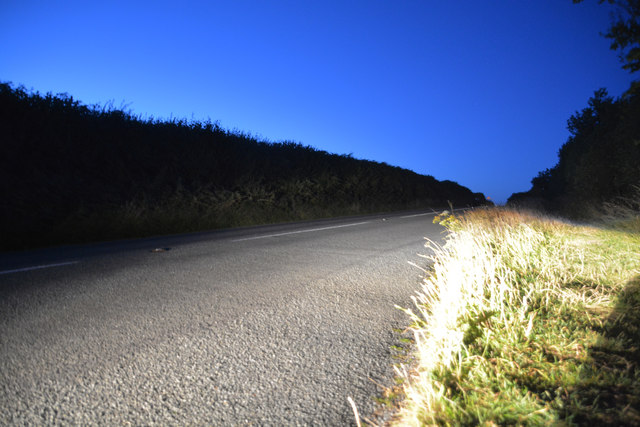
Long Wood Images
Images are sourced within 2km of 50.369665/-3.5722121 or Grid Reference SX8853. Thanks to Geograph Open Source API. All images are credited.


Long Wood is located at Grid Ref: SX8853 (Lat: 50.369665, Lng: -3.5722121)
Administrative County: Devon
District: South Hams
Police Authority: Devon and Cornwall
What 3 Words
///rooting.consented.homeward. Near Dartmouth, Devon
Nearby Locations
Related Wikis

Greenway Camp
Greenway Camp (also called Noss) is an Iron Age hill fort in the parish of Kingswear close to Dartmouth in Devon, England. The fort is situated on the...
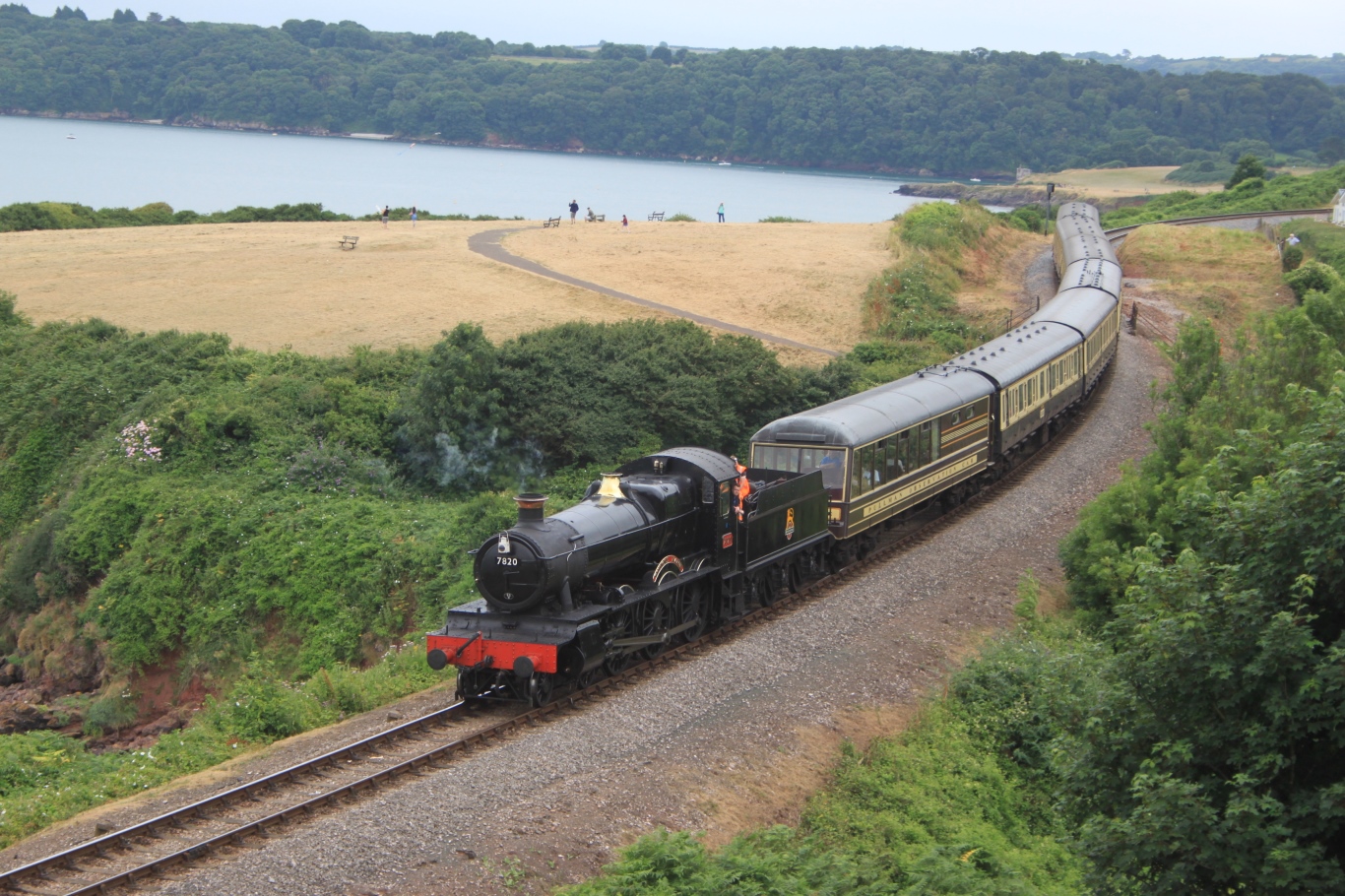
Dartmouth Steam Railway
The Dartmouth Steam Railway, formerly known as the Paignton and Dartmouth Steam Railway, is a 6.7-mile (10.8 km) heritage railway on the former Great Western...
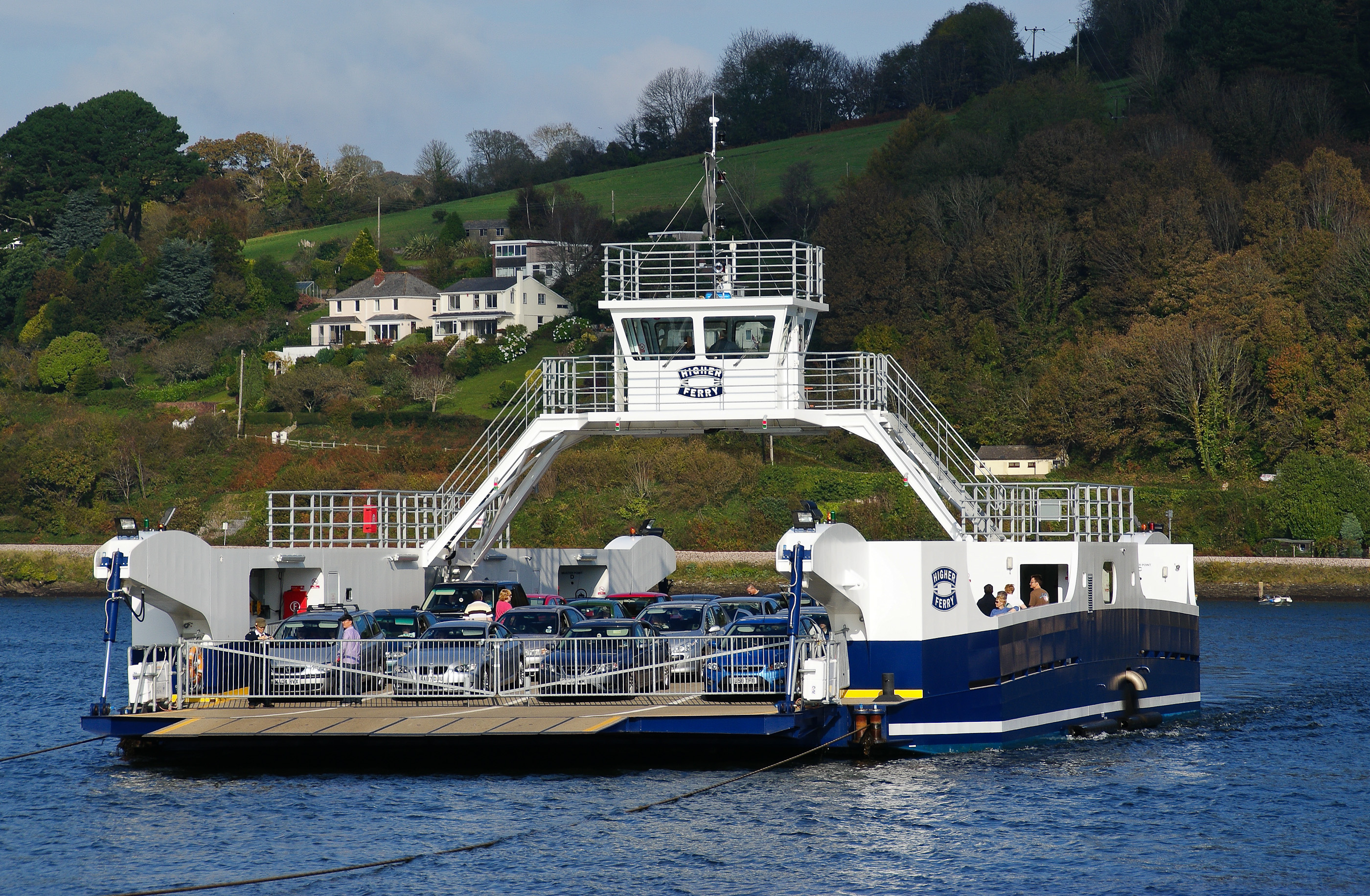
Dartmouth Higher Ferry
The Dartmouth Higher Ferry, also known as the Dartmouth–Kingswear Floating Bridge, is a vehicular and passenger cable ferry, which crosses the River Dart...
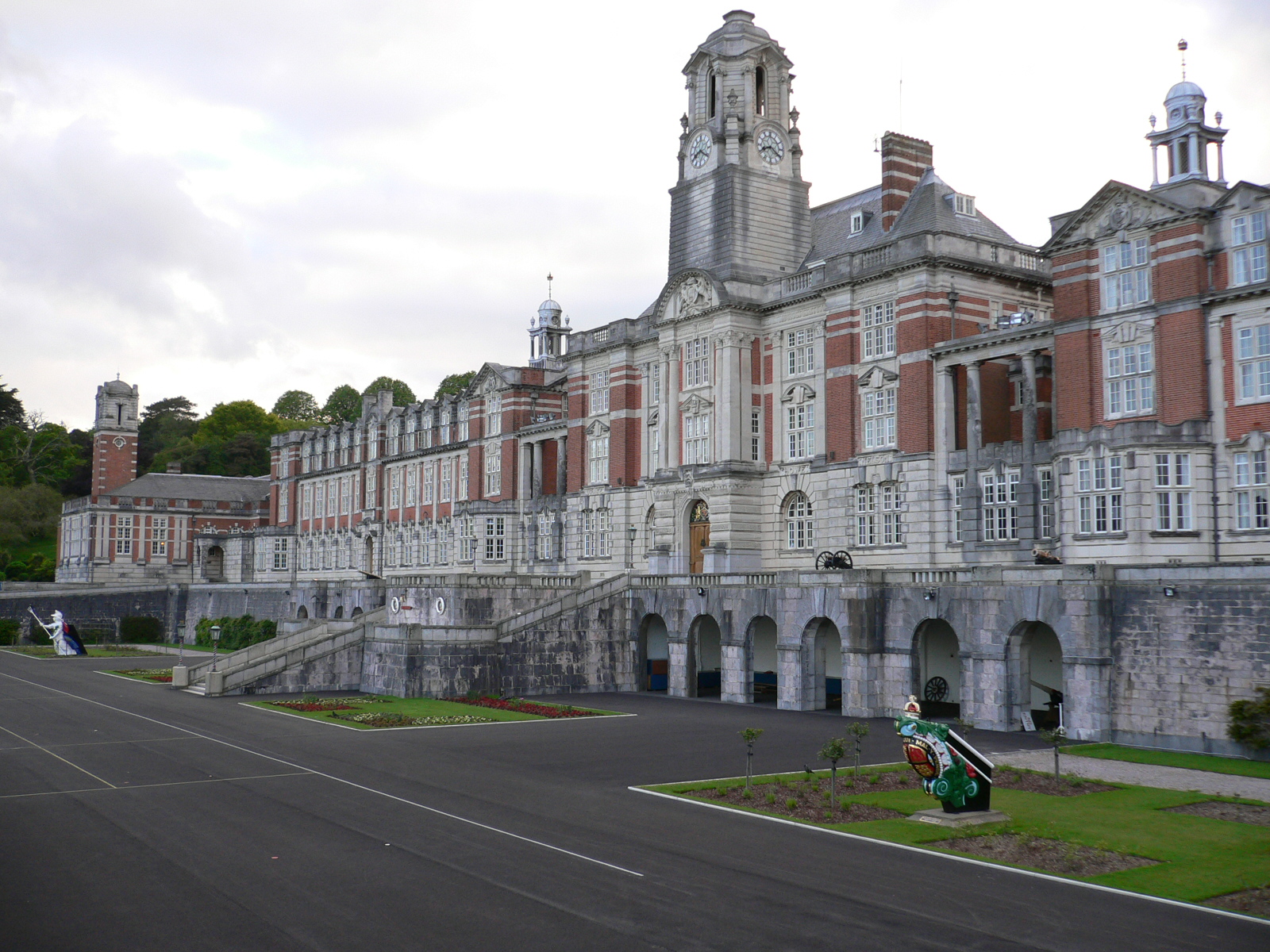
Britannia Royal Naval College
Britannia Royal Naval College (BRNC), commonly known as Dartmouth, is the naval academy of the United Kingdom and the initial officer training establishment...
Nearby Amenities
Located within 500m of 50.369665,-3.5722121Have you been to Long Wood?
Leave your review of Long Wood below (or comments, questions and feedback).