Smoothway Wood
Wood, Forest in Devon Teignbridge
England
Smoothway Wood

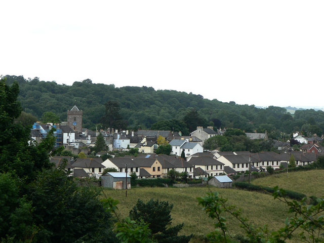
Smoothway Wood is a picturesque woodland located in Devon, England. Situated in the heart of the county, it covers an area of approximately 100 acres. The wood is known for its tranquil atmosphere and diverse wildlife, making it a popular destination for nature enthusiasts and hikers.
The woodland consists of a mixture of deciduous and coniferous trees, including oak, beech, and pine. These trees provide a stunning display of colors during the autumn months, attracting visitors from far and wide. The forest floor is covered in a carpet of vibrant wildflowers, adding to the beauty of the surroundings.
Smoothway Wood is crisscrossed by a network of well-maintained walking trails, allowing visitors to explore the area at their own pace. These trails take visitors through dense woodland, alongside babbling streams, and up gentle slopes that offer breathtaking views of the surrounding countryside.
The wood is also home to a variety of wildlife, including deer, badgers, foxes, and a wide range of bird species. Birdwatchers can spot woodpeckers, owls, and various songbirds throughout the year. The peaceful environment and abundance of wildlife make it an ideal spot for photographers and wildlife enthusiasts.
Additionally, Smoothway Wood offers several picnic areas and benches, providing visitors with the opportunity to relax and enjoy the serenity of the surroundings. The wood is open to the public year-round and is free to enter, making it an accessible and enjoyable destination for all.
If you have any feedback on the listing, please let us know in the comments section below.
Smoothway Wood Images
Images are sourced within 2km of 50.598841/-3.5868461 or Grid Reference SX8778. Thanks to Geograph Open Source API. All images are credited.


Smoothway Wood is located at Grid Ref: SX8778 (Lat: 50.598841, Lng: -3.5868461)
Administrative County: Devon
District: Teignbridge
Police Authority: Devon and Cornwall
What 3 Words
///farms.agreeable.pram. Near Chudleigh, Devon
Nearby Locations
Related Wikis

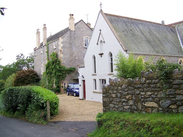
Ugbrooke
Ugbrooke House is a stately home in the parish of Chudleigh, Devon, England, situated in a valley between Exeter and Newton Abbot. The home of the Clifford...

Chudleigh Town Hall
Chudleigh Town Hall is a municipal building in Market Way, Chudleigh, Devon, England. The town hall, which is the meeting place of Chudleigh Town Council...

Chudleigh Cavern
Chudleigh Cavern is a limestone cave outside the town of Chudleigh in Devon, England. The cave is deep and contains stalactites. A small part is open to...
Chudleigh
Chudleigh () is an ancient wool town located within the Teignbridge District Council area of Devon, England between Newton Abbot and Exeter. The electoral...
Chudleigh Abbey
Chudleigh Abbey was an abbey in Chudleigh, Devon, England. St Bridget's Abbey of Syon had existed since 1415, returning to Spetisbury in Dorset in 1861...
Chudleigh railway station
Chudleigh railway station was a railway station in Chudleigh, a small town in Devon, England located between the towns of Newton Abbot and Exeter. The...

Olchard
Olchard is a village in Devon, England.

Ideford Common
Ideford Common is a Site of Special Scientific Interest consisting of an area of lowland heath in Devon, England. The site is a habitat for nightjars and...
Nearby Amenities
Located within 500m of 50.598841,-3.5868461Have you been to Smoothway Wood?
Leave your review of Smoothway Wood below (or comments, questions and feedback).