Combe Meadow
Wood, Forest in Somerset Somerset West and Taunton
England
Combe Meadow

Combe Meadow is a picturesque woodland area located in Somerset, England. This enchanting forest covers an area of approximately 100 acres and is known for its diverse range of plant and animal species, making it a popular destination for nature enthusiasts and hikers.
The meadow is situated in a deep valley, surrounded by rolling hills, adding to its charm and seclusion. The forest is predominantly made up of deciduous trees, such as oak, beech, and ash, which create a stunning canopy of green during the summer months. In the autumn, the woodland transforms into a kaleidoscope of colors as the leaves change, offering visitors a captivating display.
The forest floor of Combe Meadow is adorned with a vibrant carpet of wildflowers, including bluebells, primroses, and wood anemones, creating a picturesque setting for leisurely walks and picnics. The area is also home to a variety of wildlife, including deer, badgers, foxes, and a rich assortment of bird species.
For outdoor enthusiasts, Combe Meadow offers several walking trails of varying lengths and difficulties, allowing visitors to explore the woodland at their own pace. These trails meander through the forest, offering glimpses of babbling streams and stunning viewpoints along the way.
Combe Meadow is a true gem of Somerset, providing a tranquil escape from the hustle and bustle of daily life. Whether it's a leisurely stroll through the woods, a bird-watching adventure, or simply a peaceful picnic amongst nature, this beautiful woodland has something to offer for everyone.
If you have any feedback on the listing, please let us know in the comments section below.
Combe Meadow Images
Images are sourced within 2km of 51.207582/-3.6210259 or Grid Reference SS8646. Thanks to Geograph Open Source API. All images are credited.
Combe Meadow is located at Grid Ref: SS8646 (Lat: 51.207582, Lng: -3.6210259)
Administrative County: Somerset
District: Somerset West and Taunton
Police Authority: Avon and Somerset
What 3 Words
///incisions.vampire.menu. Near Porlock, Somerset
Nearby Locations
Related Wikis

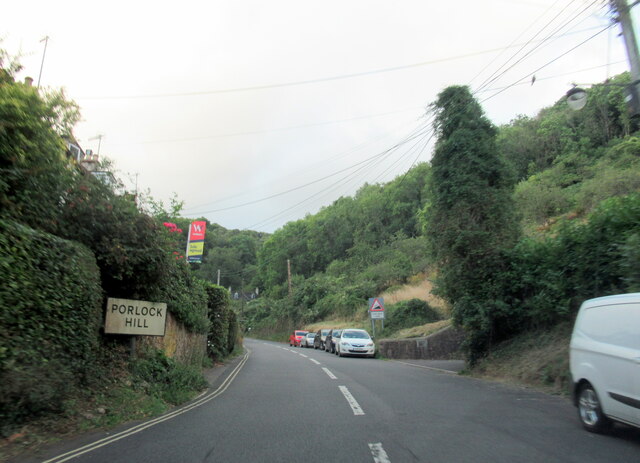
Porlock Hill
Porlock Hill is a road west of Porlock, Somerset. It is part of the A39, connecting Porlock to Lynmouth and Barnstaple in Devon and is the steepest A-road...
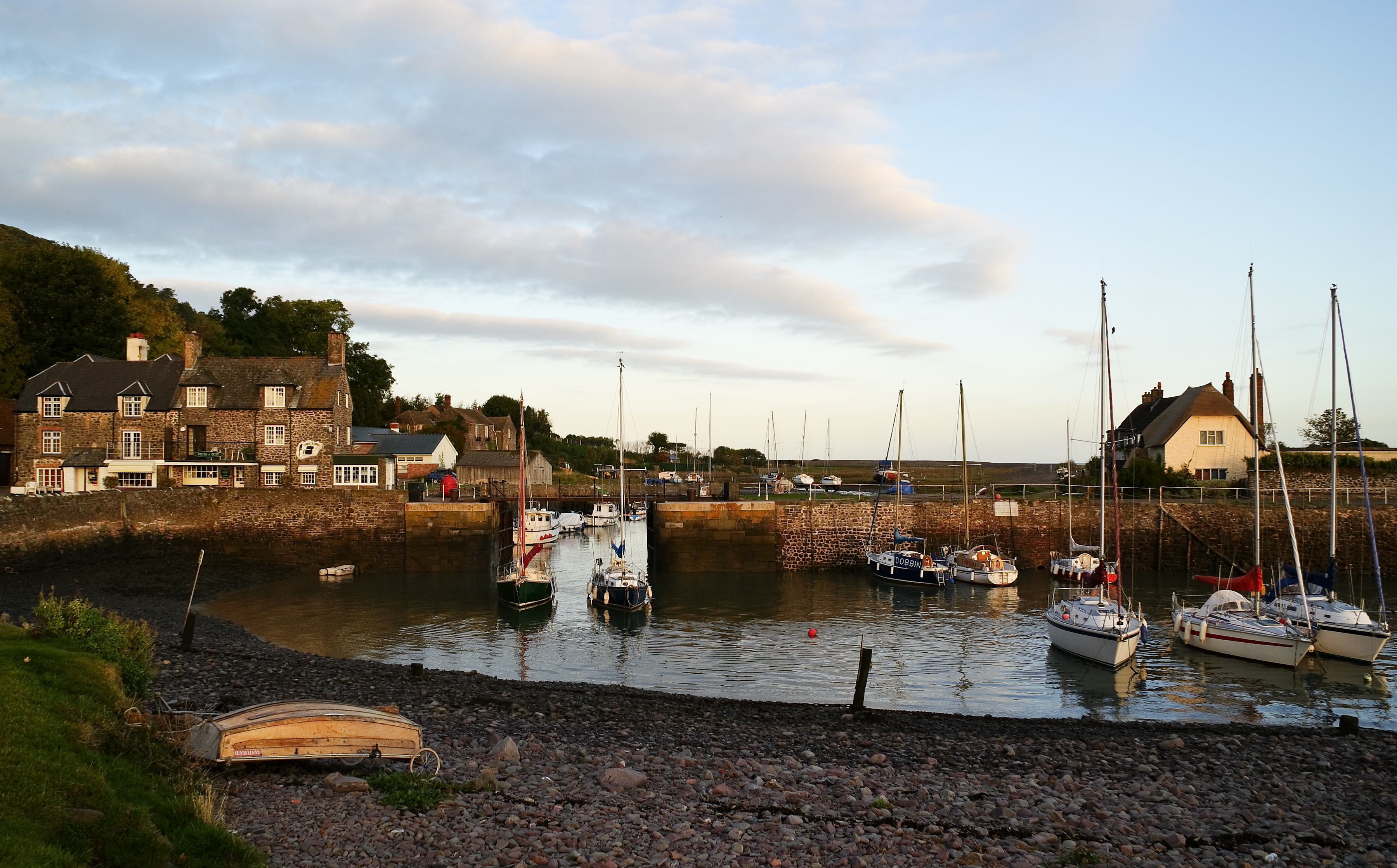
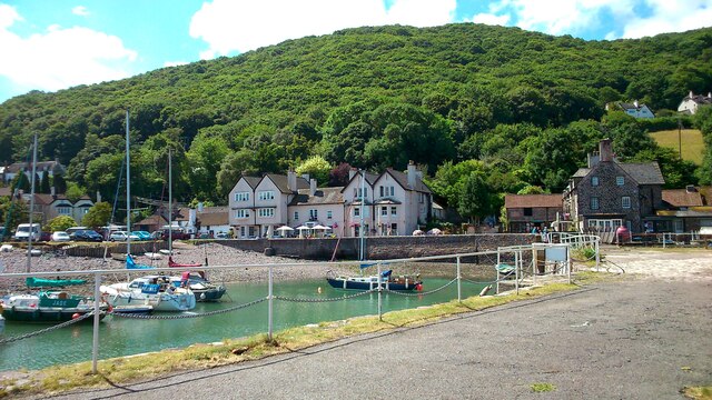
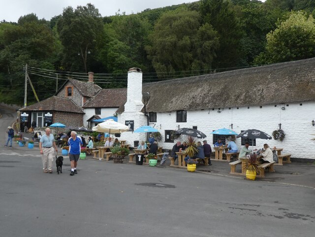
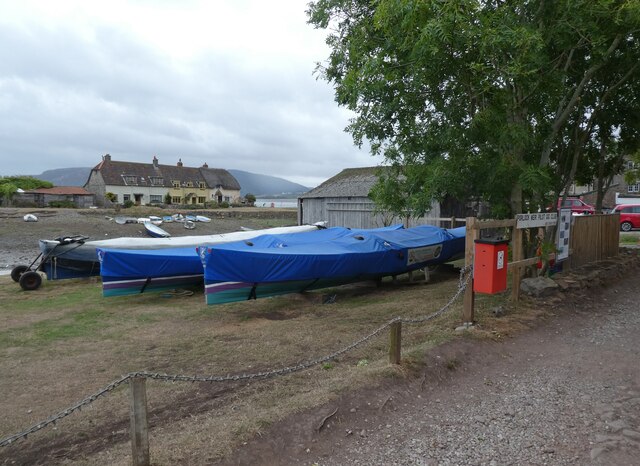
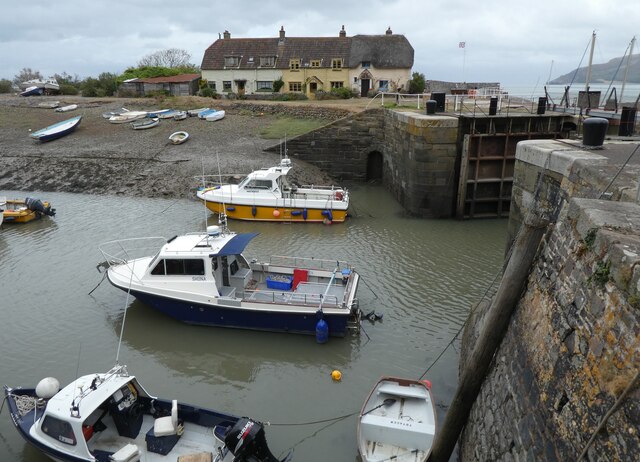
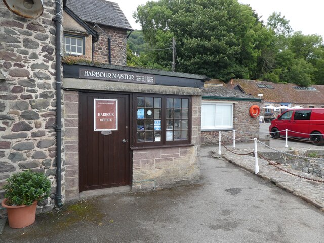
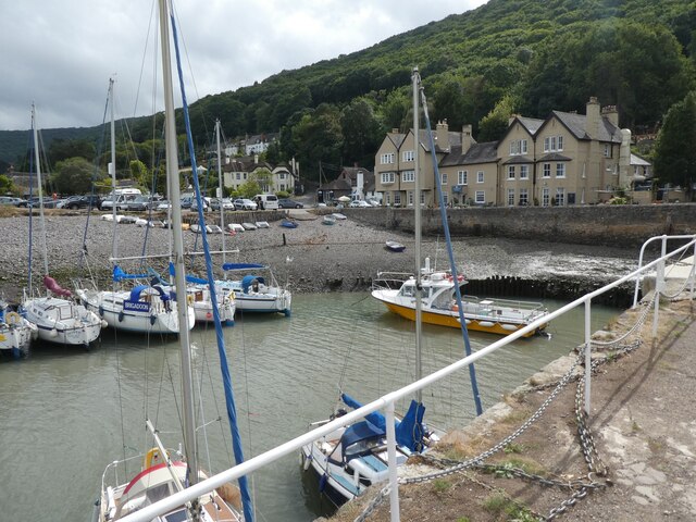
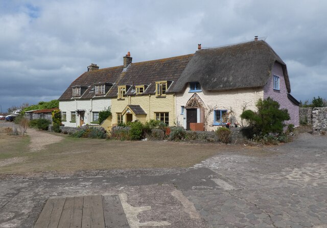
Porlock Weir
Porlock Weir is a harbour settlement approximately 1.5 miles (2.4 km) west of the inland village of Porlock, Somerset, England. "Porlock" comes from the...
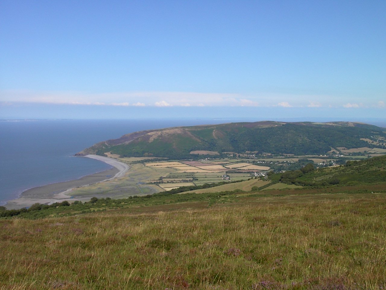
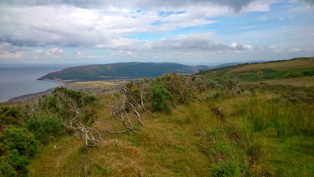
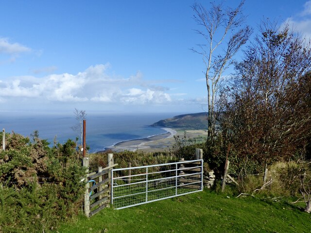
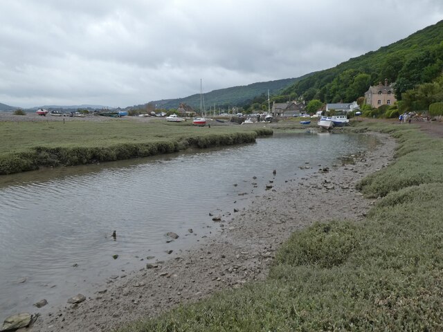
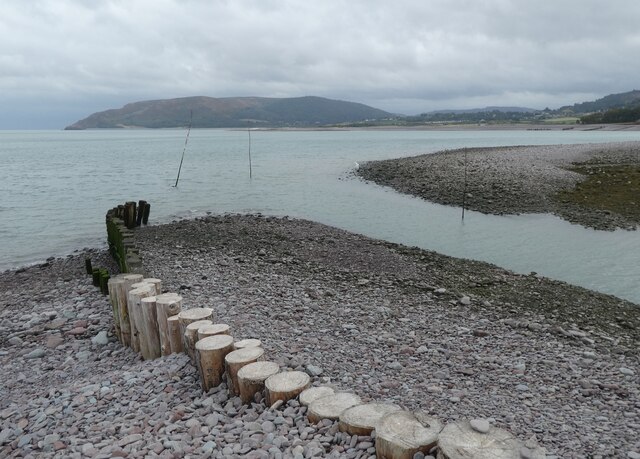
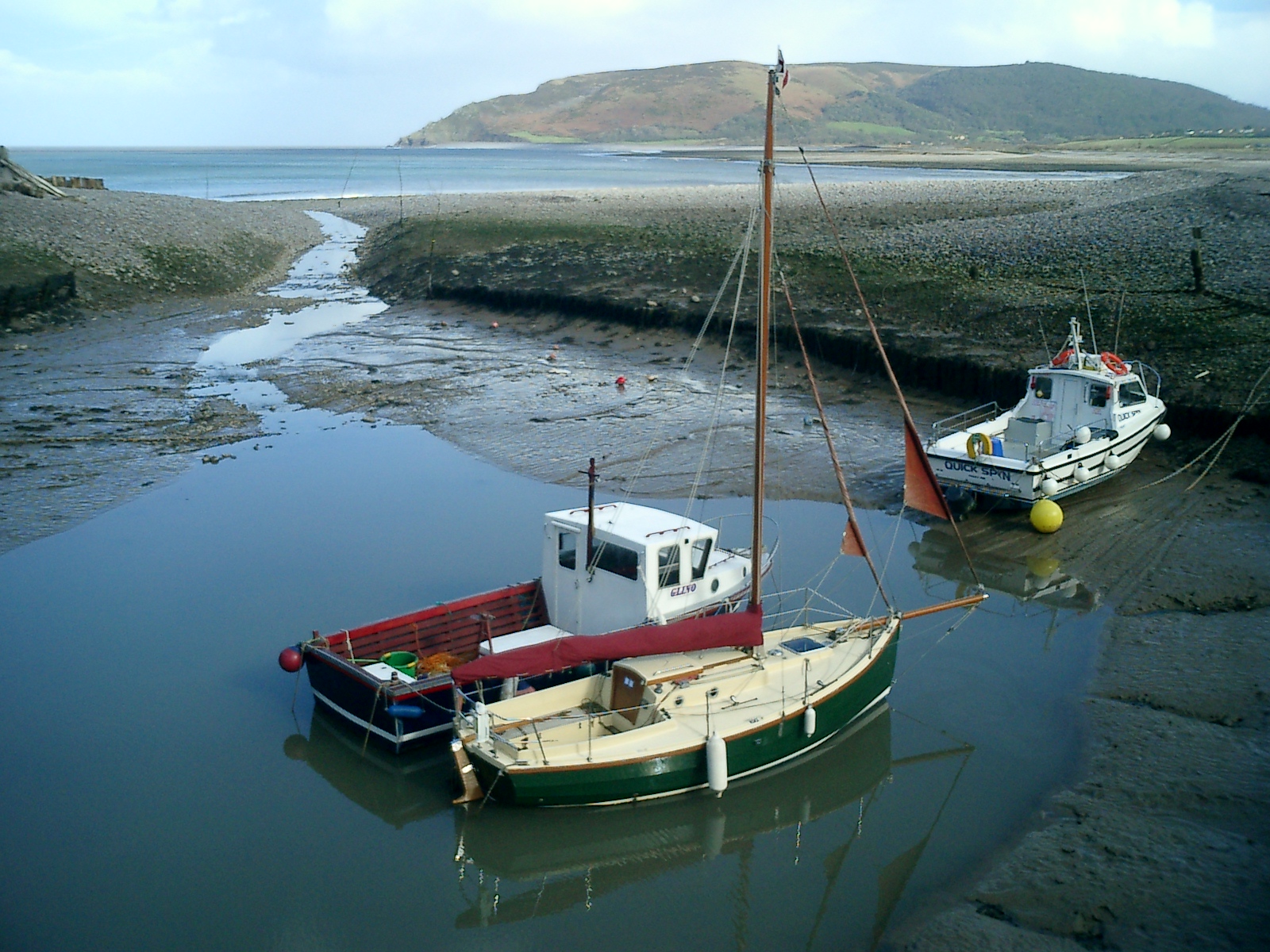
Porlock Bay
Porlock Bay is on the Bristol Channel, between Hurlstone Point and Porlock Weir in Somerset, England. The coastline includes shingle ridges, salt marshes...
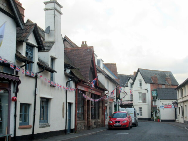
Porlock
Porlock is a coastal village in Somerset, England, 5 miles (8 km) west of Minehead. At the 2011 census, the village had a population of 1,440.In 2017,...

Berry Castle, Somerset
Berry Castle (sometimes known as Berry Camp) is an early Roman (possible Iron Age) hillslope enclosure in the West Somerset district of Somerset, England...

Dovery Manor Museum
Dovery Manor Museum, also known as Porlock Museum, is a local museum in Porlock, Somerset, England. The building was built as a Manor house in the late...

Hawkcombe Woods
Hawkcombe Woods is a national nature reserve near Porlock on Exmoor, Somerset, England.The 101 hectares (250 acres) woodlands are notable for their lichens...

Coleridge Way
The Coleridge Way is a 51-mile (82 km) long-distance trail in Somerset and Devon, England. It was opened in April 2005, and the route links several sites...
Nearby Amenities
Located within 500m of 51.207582,-3.6210259Have you been to Combe Meadow?
Leave your review of Combe Meadow below (or comments, questions and feedback).