Porlockford Combe
Valley in Somerset Somerset West and Taunton
England
Porlockford Combe

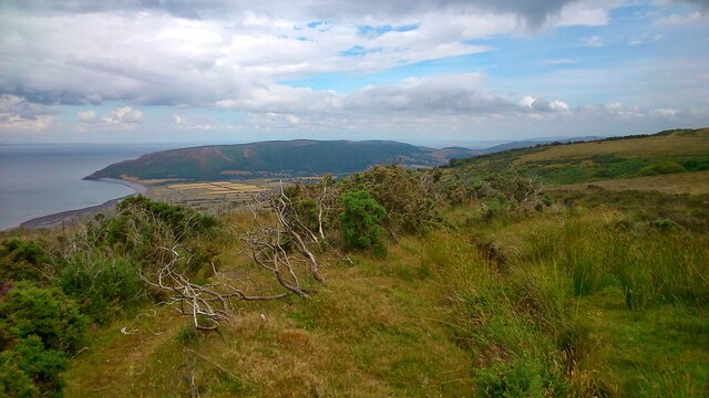
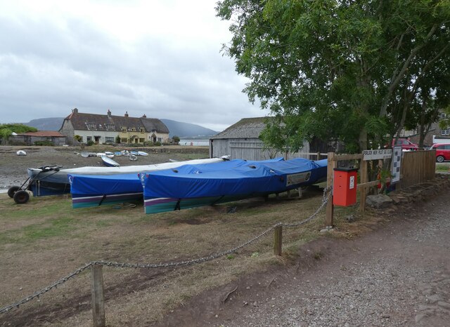
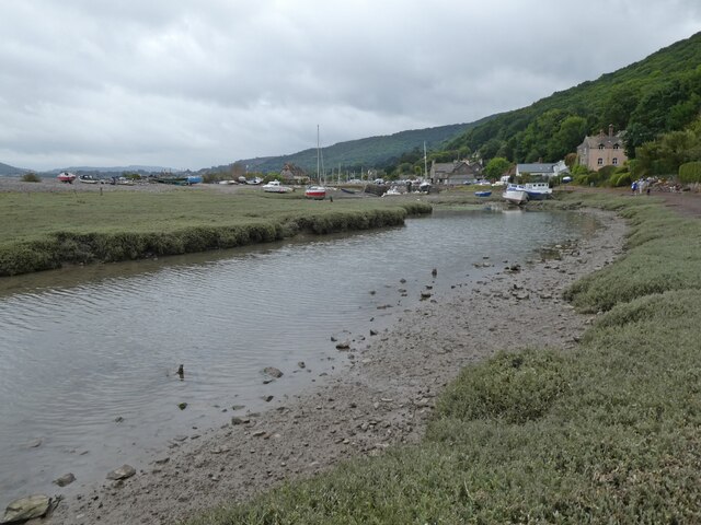
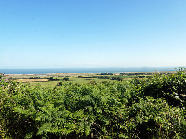
Porlockford Combe is a picturesque valley located in Somerset, England. Nestled between the rolling hills of Exmoor National Park, the combe is known for its stunning natural beauty and tranquil atmosphere. The valley is home to lush greenery, ancient woodlands, and a meandering stream that flows through the heart of the valley.
Porlockford Combe is a popular destination for hikers, nature lovers, and birdwatchers, with a network of walking trails that offer breathtaking views of the surrounding countryside. The valley is also home to a diverse range of wildlife, including red deer, badgers, and a variety of bird species.
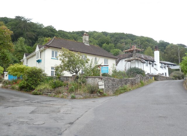
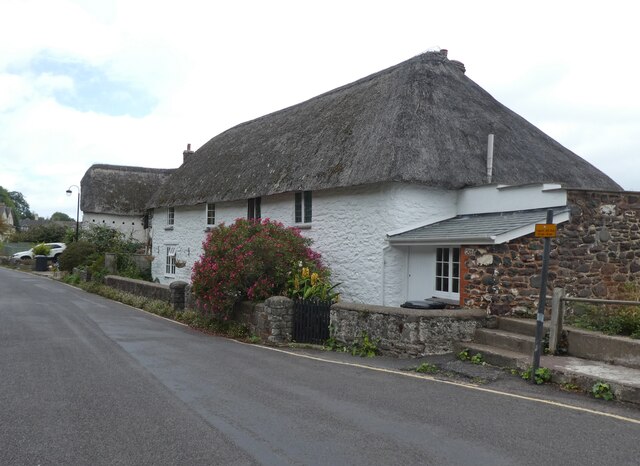
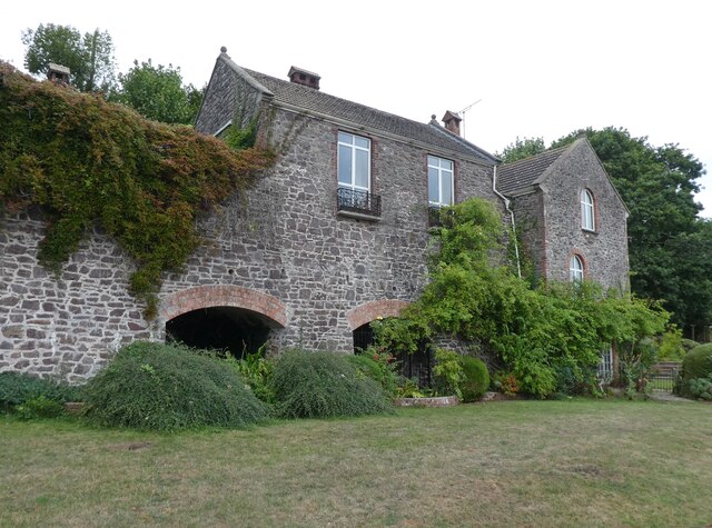
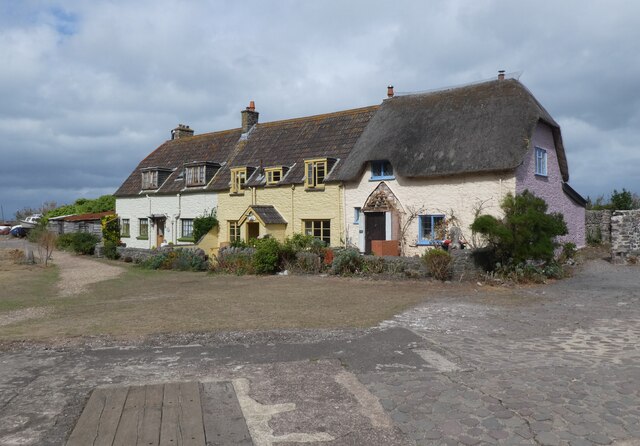
In addition to its natural attractions, Porlockford Combe is also steeped in history, with evidence of ancient settlements and archaeological sites dating back thousands of years. The valley is dotted with charming stone cottages and historic landmarks that provide a glimpse into the area's past.
Overall, Porlockford Combe is a peaceful and enchanting destination that offers visitors a chance to escape the hustle and bustle of modern life and immerse themselves in the beauty of the natural world.
If you have any feedback on the listing, please let us know in the comments section below.
Porlockford Combe Images
Images are sourced within 2km of 51.209687/-3.6287592 or Grid Reference SS8646. Thanks to Geograph Open Source API. All images are credited.
Porlockford Combe is located at Grid Ref: SS8646 (Lat: 51.209687, Lng: -3.6287592)
Administrative County: Somerset
District: Somerset West and Taunton
Police Authority: Avon and Somerset
What 3 Words
///worlds.leafing.visions. Near Porlock, Somerset
Nearby Locations
Related Wikis
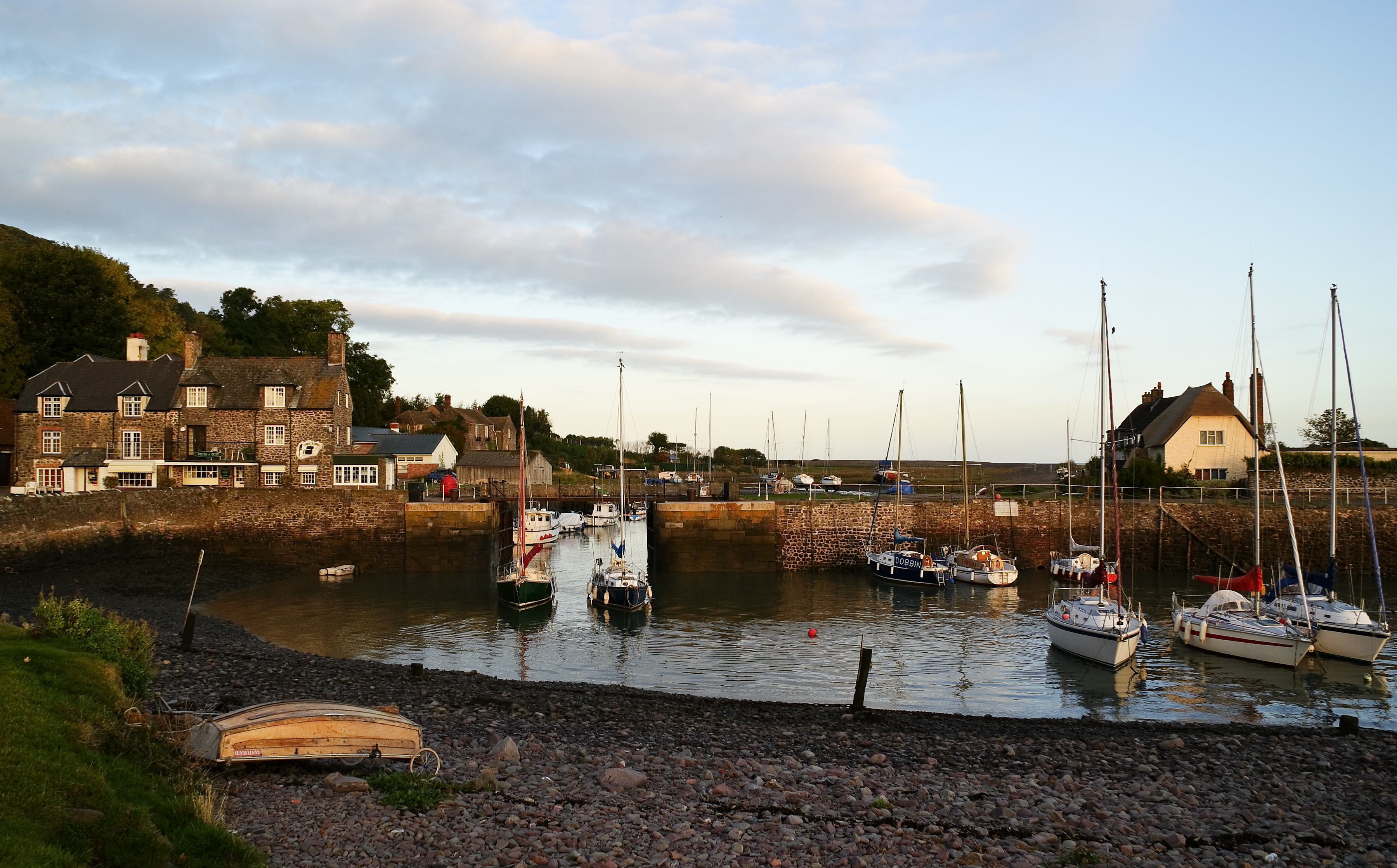
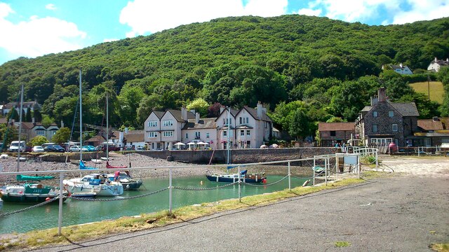
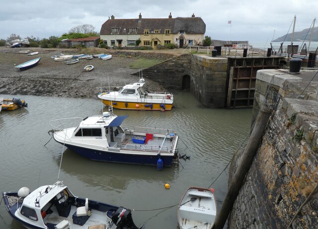
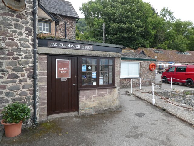
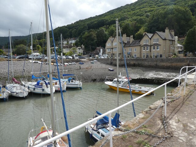
Porlock Weir
Porlock Weir is a harbour settlement approximately 1.5 miles (2.4 km) west of the inland village of Porlock, Somerset, England. "Porlock" comes from the...

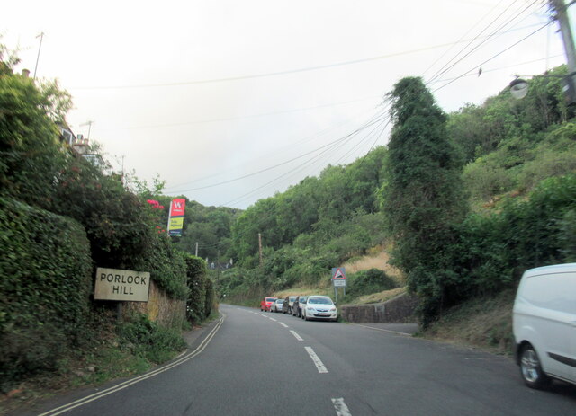
Porlock Hill
Porlock Hill is a road west of Porlock, Somerset. It is part of the A39, connecting Porlock to Lynmouth and Barnstaple in Devon and is the steepest A-road...

Berry Castle, Somerset
Berry Castle (sometimes known as Berry Camp) is an early Roman (possible Iron Age) hillslope enclosure in the West Somerset district of Somerset, England...
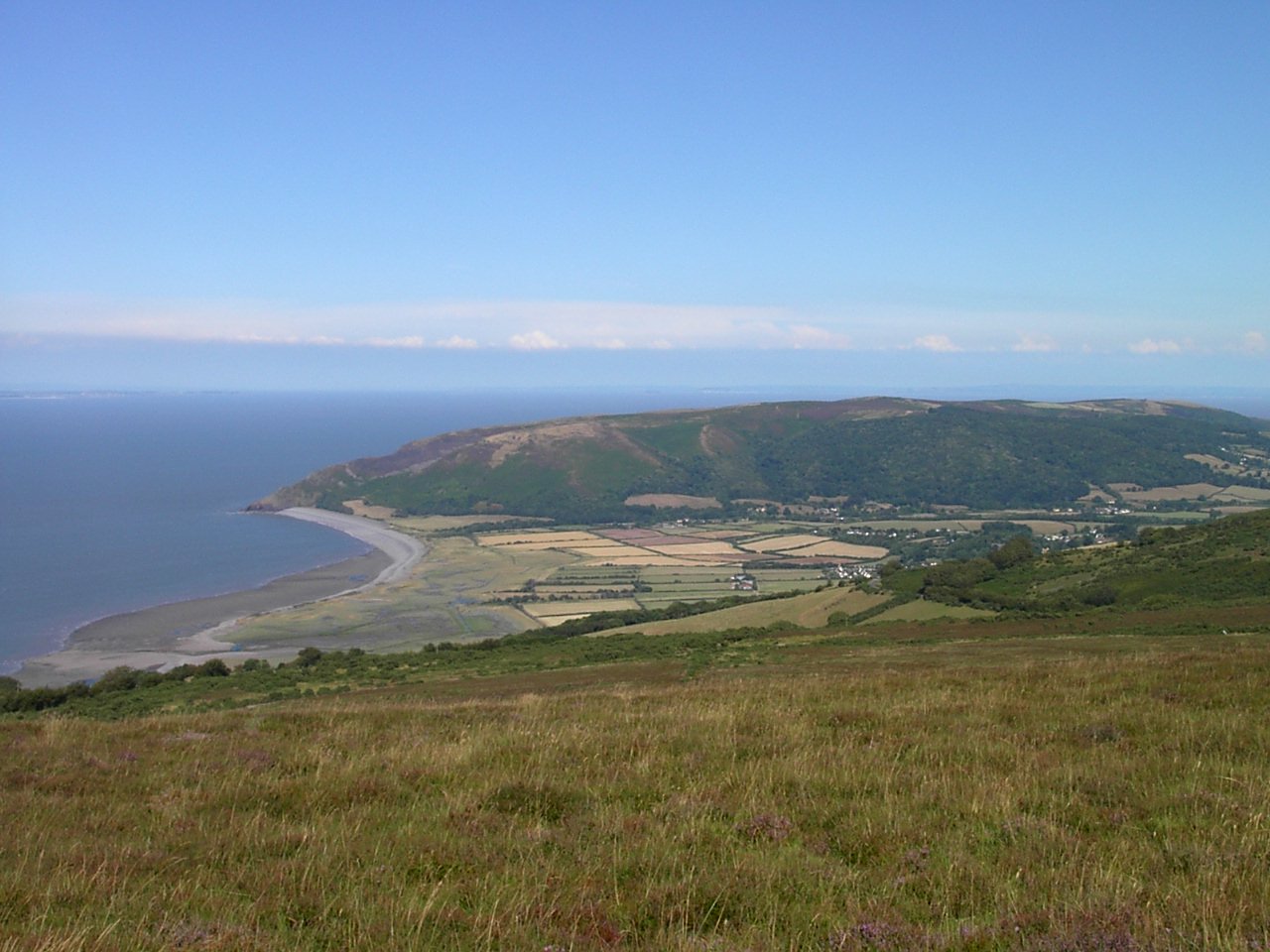
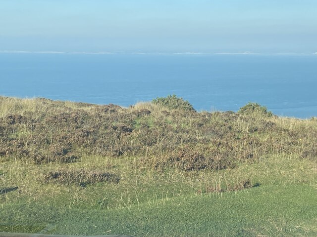
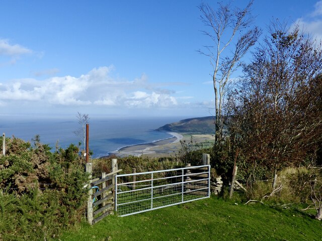
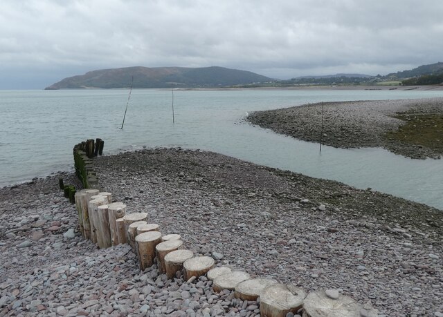
Porlock Bay
Porlock Bay is on the Bristol Channel, between Hurlstone Point and Porlock Weir in Somerset, England. The coastline includes shingle ridges, salt marshes...
Nearby Amenities
Located within 500m of 51.209687,-3.6287592Have you been to Porlockford Combe?
Leave your review of Porlockford Combe below (or comments, questions and feedback).