Balcombe Pits Copse
Wood, Forest in Devon South Hams
England
Balcombe Pits Copse

Balcombe Pits Copse is a stunning wood located in Devon, England. Covering an area of approximately 50 acres, it is a perfect example of a traditional English forest. The copse is situated on the outskirts of Balcombe village, offering a peaceful retreat for nature enthusiasts and hikers alike.
The woodland is home to a diverse range of flora and fauna, providing a rich and vibrant habitat for various species. Ancient oak and beech trees dominate the landscape, their gnarled trunks and sprawling branches creating a sense of natural beauty and tranquility. Bluebells carpet the forest floor during the spring months, creating a breathtakingly colorful sight.
Balcombe Pits Copse boasts an extensive network of walking trails, allowing visitors to explore the wood at their leisure. These paths wind through the forest, leading to hidden gems such as babbling brooks and small ponds, adding to the charm of the area. The copse is also a popular destination for birdwatchers, as it attracts a wide variety of avian species.
In addition to its natural beauty, Balcombe Pits Copse holds historical significance. It is believed that the wood was once used for charcoal production during the medieval period. Remnants of old charcoal platforms can still be found scattered throughout the woodland, serving as a reminder of its past.
Overall, Balcombe Pits Copse is a captivating natural haven that offers visitors a chance to immerse themselves in the beauty of the English countryside. Whether it be for a leisurely stroll, birdwatching, or simply enjoying the peaceful ambiance, this woodland is a true gem of Devon.
If you have any feedback on the listing, please let us know in the comments section below.
Balcombe Pits Copse Images
Images are sourced within 2km of 50.366567/-3.5930046 or Grid Reference SX8653. Thanks to Geograph Open Source API. All images are credited.


![Undercliff, Dartmouth Bringing <a href="https://www.geograph.org.uk/photo/827384">SX8751 : Undercliff, Dartmouth</a>] up to date.](https://s3.geograph.org.uk/geophotos/06/92/80/6928095_f103ea3b.jpg)


Balcombe Pits Copse is located at Grid Ref: SX8653 (Lat: 50.366567, Lng: -3.5930046)
Administrative County: Devon
District: South Hams
Police Authority: Devon and Cornwall
What 3 Words
///woodstove.buzz.festivity. Near Dartmouth, Devon
Nearby Locations
Related Wikis
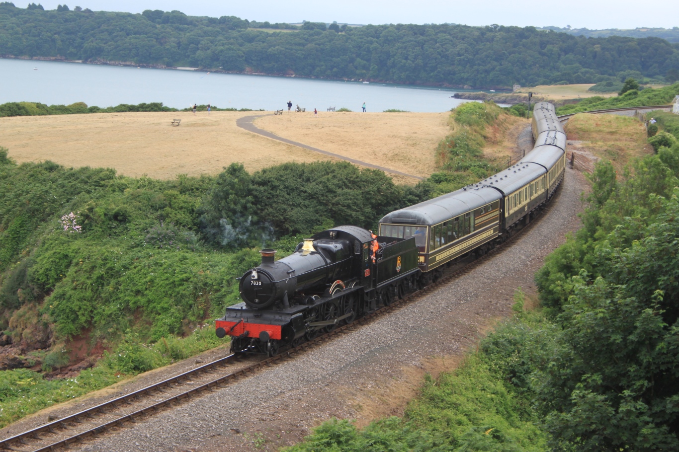
Dartmouth Steam Railway
The Dartmouth Steam Railway, formerly known as the Paignton and Dartmouth Steam Railway, is a 6.7-mile (10.8 km) heritage railway on the former Great Western...
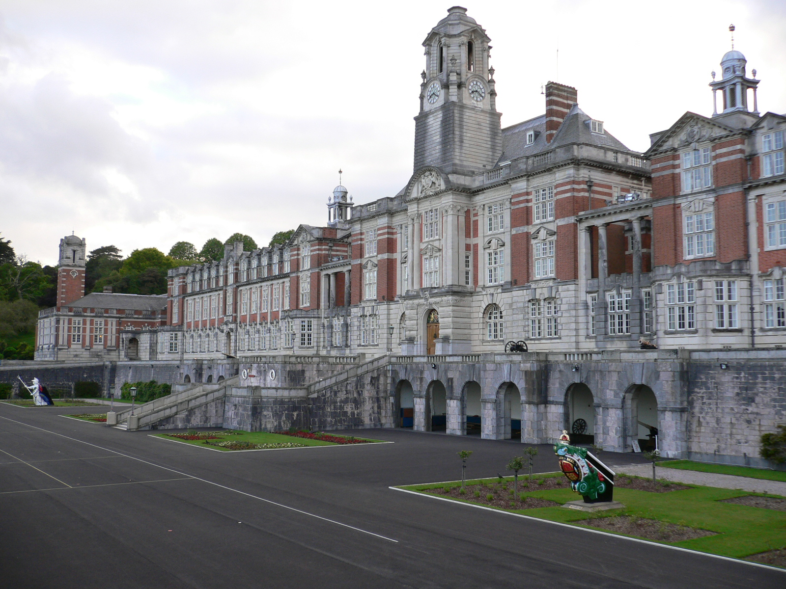
Britannia Royal Naval College
Britannia Royal Naval College (BRNC), commonly known as Dartmouth, is the naval academy of the United Kingdom and the initial officer training establishment...
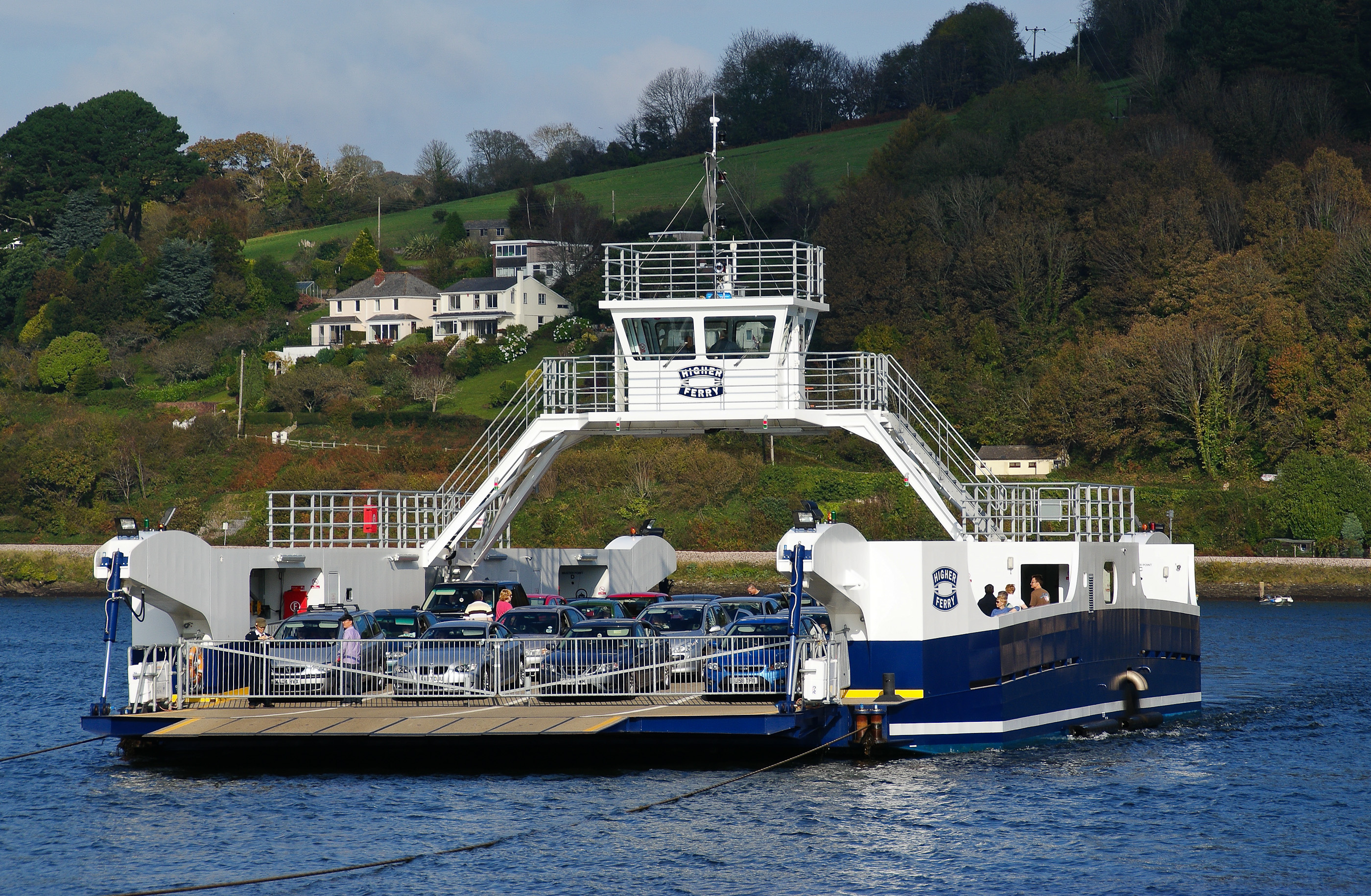
Dartmouth Higher Ferry
The Dartmouth Higher Ferry, also known as the Dartmouth–Kingswear Floating Bridge, is a vehicular and passenger cable ferry, which crosses the River Dart...
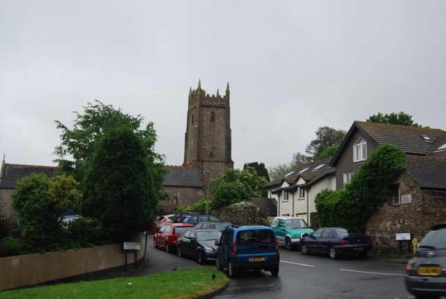
Townstal
Townstal (anciently Tunstall, Townstall, etc.) is an historic manor and parish on elevated ground now forming part of the western suburbs of the town of...
Nearby Amenities
Located within 500m of 50.366567,-3.5930046Have you been to Balcombe Pits Copse?
Leave your review of Balcombe Pits Copse below (or comments, questions and feedback).