Pitpark Plantation

Wood, Forest in Devon Teignbridge

England

Pitpark Plantation

On the B3212 at the brow of the hill after Longdown, heading west
On the B3212 at the brow of the hill after Longdown, heading west Credit: Rob Purvis

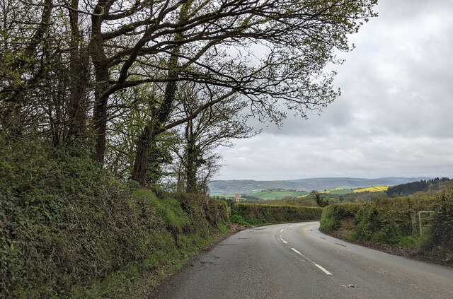
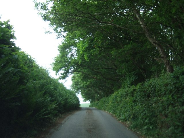
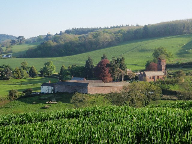
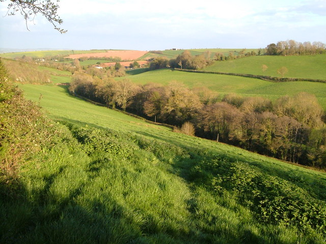
Pitpark Plantation is a beautiful woodland area located in Devon, England. Situated in the heart of the county, it is known for its lush greenery, diverse wildlife, and serene atmosphere. The plantation covers a vast area of land, making it an ideal destination for nature enthusiasts and those seeking a peaceful retreat.

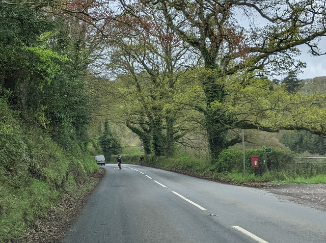
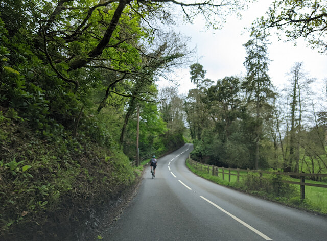
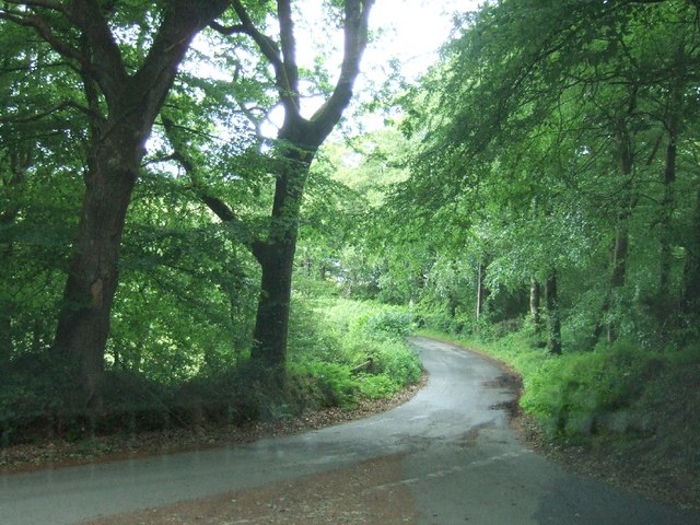
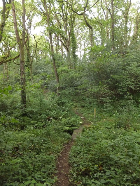
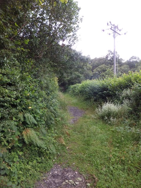
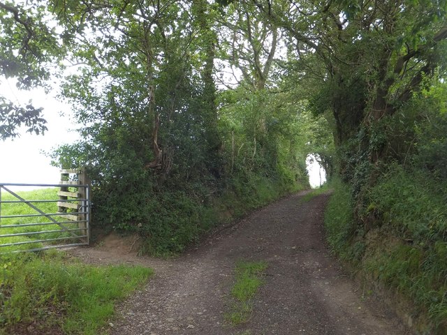
The woodland is predominantly made up of various tree species, including oak, beech, and birch. These trees provide a dense canopy, creating a cool and shaded environment for visitors to explore. The forest floor is covered in a thick layer of foliage, consisting of ferns, mosses, and wildflowers, adding to the enchanting ambiance of the area.

Pitpark Plantation is home to a wide range of wildlife, making it a popular spot for bird watchers and animal lovers. Visitors can expect to see a variety of bird species, such as woodpeckers, owls, and finches. Additionally, the woodland is inhabited by mammals like deer, squirrels, and foxes, which can often be spotted roaming through the trees.

The plantation offers several walking trails and paths, allowing visitors to fully immerse themselves in the natural beauty of the area. Whether you prefer a leisurely stroll or a more challenging hike, there is a route to suit every level of fitness and interest.

Pitpark Plantation, with its diverse flora and fauna, offers a tranquil escape from the bustling city life. Its picturesque scenery and peaceful atmosphere make it a must-visit destination for anyone seeking solace in nature.

If you have any feedback on the listing, please let us know in the comments section below.

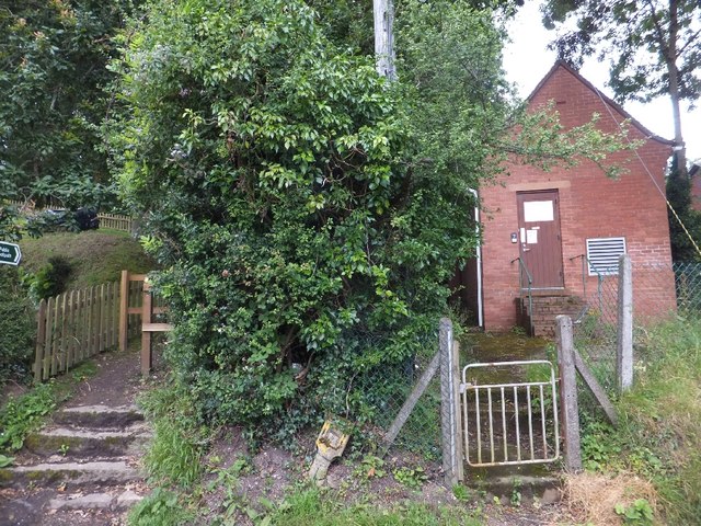
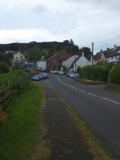
Pitpark Plantation Images

Images are sourced within 2km of 50.698034/-3.6042957 or Grid Reference SX8689. Thanks to Geograph Open Source API. All images are credited.

On the B3212 at the brow of the hill after Longdown, heading west
On the B3212, a postbox, public footpath and cyclists
Cyclist on the B3212 heading south-west
Road junction south of Longdown
Road passing Cotley Wood Cotley Wood is almost exactly 1km from east to west, and its boundaries are very close to north-south grid lines.
Road passing Cotley Wood
Cotley Wood is almost exactly 1km from east to west, and its boundaries are very close to north-south grid lines.
Footbridge over Culver Brook The brook flows through woodland to the west of the church
Footbridge over Culver Brook
The brook flows through woodland to the west of the church
Cottages near Holcombe Burnell church The church for Longdown is separate from the village, standing next to the manor house.  These buildings are among the small number close to the church
Cottages near Holcombe Burnell church
The church for Longdown is separate from the village, standing next to the manor house. These buildings are among the small number close to the church
The road past Holcombe Burnell church The gateway to the church has a small mounting block (just visible) beside it
The road past Holcombe Burnell church
The gateway to the church has a small mounting block (just visible) beside it
Path in Holcombe Wood The path provides a short cut from Longdown to Holcombe Burnell church
Path in Holcombe Wood
The path provides a short cut from Longdown to Holcombe Burnell church
Path and old telephone exchange The path avoids the descent into the village and is a short cut to Perridge Cross
Path and old telephone exchange
The path avoids the descent into the village and is a short cut to Perridge Cross
The centre of Longdown The red stone building is The Lamb Inn, with a second-hand car dealer opposite
The centre of Longdown
The red stone building is The Lamb Inn, with a second-hand car dealer opposite
Lane and footpath to Westwood Farm
Gate and stile on footpath to Westwood Farm
Mobile sheep dip in use at Longdown Two men and four dogs were controlling this operation
Mobile sheep dip in use at Longdown
Two men and four dogs were controlling this operation
Footpath to Westwood Farm After the gate, the footpath runs between trees along an old farm track.  Beyond the trees, one can see part of Exeter
Footpath to Westwood Farm
After the gate, the footpath runs between trees along an old farm track. Beyond the trees, one can see part of Exeter
Old buildings at Westwood Farm
Farm track branching off B3212 This wide track branches off the road to Dunsford.  It  takes the line of the B3212, and formerly gave access to Longdown railway station
Farm track branching off B3212
This wide track branches off the road to Dunsford. It takes the line of the B3212, and formerly gave access to Longdown railway station
Valley east of Longdown Looking downhill from Holcombe Burnell Footpath 9, close to the spot where <a href="https://www.geograph.org.uk/photo/164195">SX8791 : Valley east of Longdown</a> (looking to the left on the other side of the hedge). The buildings on the far hill are on the B3212.
Valley east of Longdown
Looking downhill from Holcombe Burnell Footpath 9, close to the spot where SX8791 : Valley east of Longdown (looking to the left on the other side of the hedge). The buildings on the far hill are on the B3212.
Show me another place!

Pitpark Plantation is located at Grid Ref: SX8689 (Lat: 50.698034, Lng: -3.6042957)

Administrative County: Devon

District: Teignbridge

Police Authority: Devon and Cornwall

What 3 Words

///bags.range.dare. Near Exeter, Devon

Related Wikis

Cotley Castle

Cotley Castle is a large Iron Age Hill fort near Dunchideock in Devon and close to Exeter in England. It occupies a significant hilltop at 220 metres...

Longdown

Longdown is a small village in the parish of Holcombe Burnell, south of the A30 road, about four miles west of Exeter in Devon, England. It has a public...

Longdown railway station

Longdown was a railway station serving Longdown, a small village in Devon, England located on the Teign Valley Line between the towns of Newton Abbot and...

Dunchideock

Dunchideock ( DUN-chi-dək, dun-CHID-ee-ək) is a small civil parish on the north eastern slopes of the Haldon Hills in Teignbridge, Devon, England. It...

Holcombe Burnell

Holcombe Burnell is a civil parish in the Teignbridge district, in Devon, England, the church of which is about 4 miles west of Exeter City centre. There...

Dunsford Halt railway station

Dunsford Halt was a railway station serving Dunsford, a small village in Devon, England, on the Teign Valley Line between the towns of Newton Abbot and...

Ide Halt railway station

Ide Halt was a railway station serving Ide, a small village in Devon, England located on the Teign Valley Line between Newton Abbot and Exeter. == History... ==

Ide, Devon

Ide is a village in Devon, England, just under 1 mile (1.6 kilometres) southwest of Exeter. The village church is dedicated to the German Saint Ida of...

Nearby Amenities

Located within 500m of 50.698034,-3.6042957
Colour: gray
Design: barrel
Line Attachment: suspension
Material: metal
Power: tower
Structure: lattice
Lat/Long: 50.6971782/-3.601665
Colour: gray
Design: barrel
Line Attachment: suspension
Material: metal
Power: tower
Structure: lattice
Lat/Long: 50.6961903/-3.6048046
The data included in this document is from www.openstreetmap.org. The data is made available under ODbL.

Have you been to Pitpark Plantation?

Leave your review of Pitpark Plantation below (or comments, questions and feedback).