Eastern Cotley Wood

Wood, Forest in Devon Teignbridge

England

Eastern Cotley Wood

On the B3212 at the brow of the hill after Longdown, heading west
On the B3212 at the brow of the hill after Longdown, heading west Credit: Rob Purvis

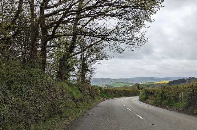
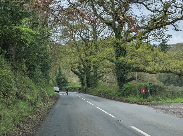
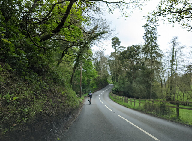
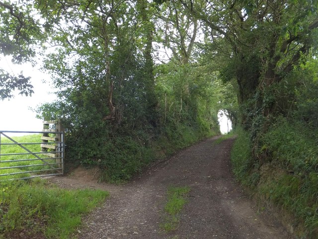
Eastern Cotley Wood is a picturesque woodland located in the county of Devon, England. Stretching over an area of approximately 100 acres, this ancient forest is a haven for nature lovers and outdoor enthusiasts alike. The wood is situated within the Blackdown Hills Area of Outstanding Natural Beauty, contributing to its stunning and unspoiled landscape.

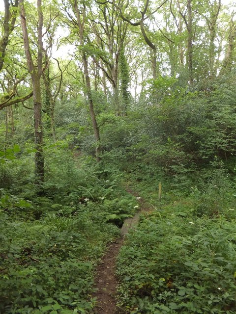
Comprising a mixture of deciduous and coniferous trees, Eastern Cotley Wood boasts an impressive variety of flora and fauna. The woodland is particularly renowned for its majestic oak trees, some of which are estimated to be over 300 years old. These towering giants, along with the dense undergrowth, create a serene and enchanting atmosphere that transports visitors into a fairytale-like setting.

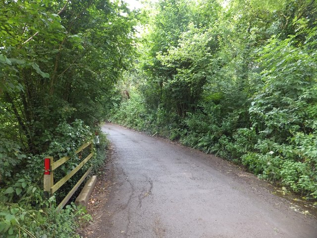
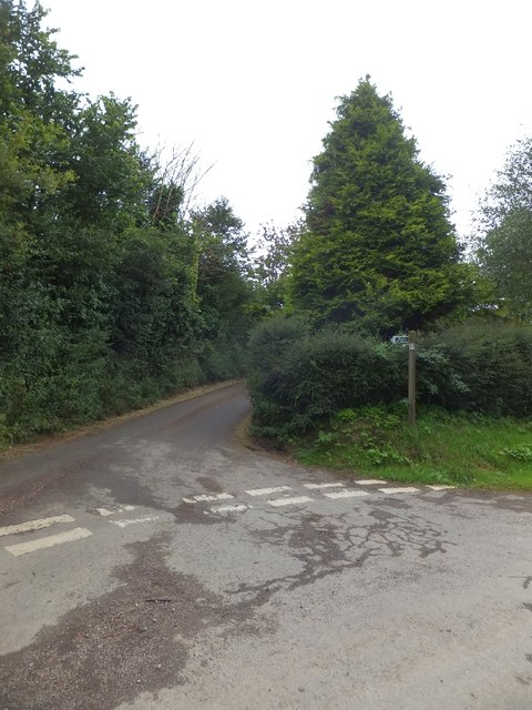
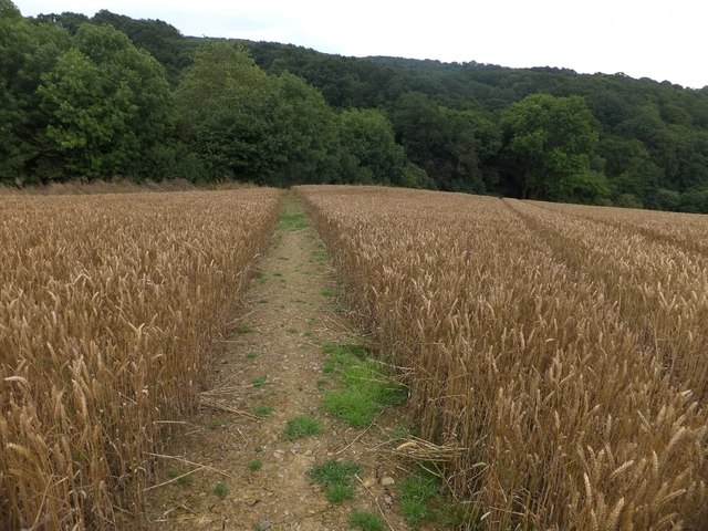
The wood is crisscrossed by a network of footpaths and trails, allowing visitors to explore its beauty at their own pace. As they wander through the forest, visitors may encounter a rich diversity of wildlife, including deer, foxes, badgers, and a multitude of bird species. Eastern Cotley Wood is also home to a wide array of plant life, such as bluebells, primroses, and ferns, which create a vibrant and colorful display during the spring and summer months.

For those seeking a tranquil escape from the hustle and bustle of everyday life, Eastern Cotley Wood provides an idyllic setting. Its natural beauty, combined with its accessibility and well-maintained pathways, make it a popular destination for walkers, joggers, and nature enthusiasts. Whether one seeks solitude or simply wishes to immerse themselves in the wonders of nature, Eastern Cotley Wood offers an unforgettable experience.

If you have any feedback on the listing, please let us know in the comments section below.

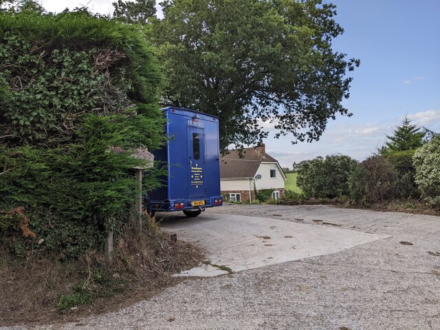
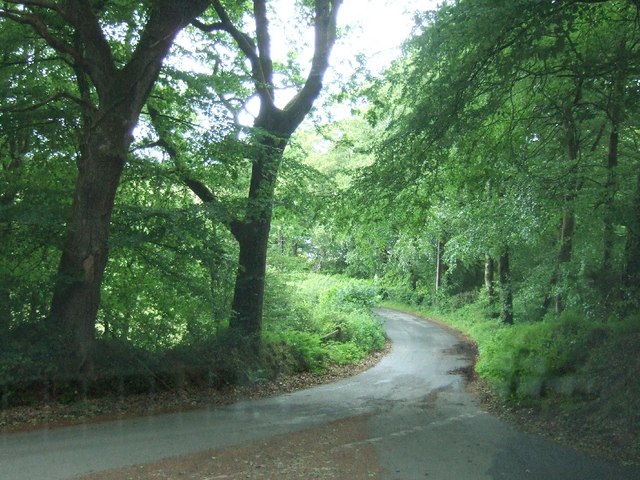
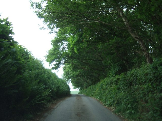
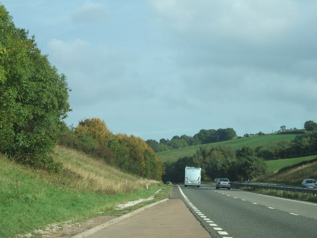
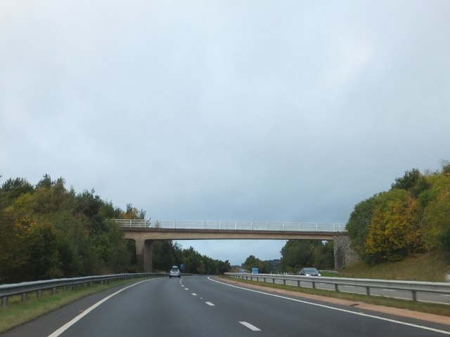
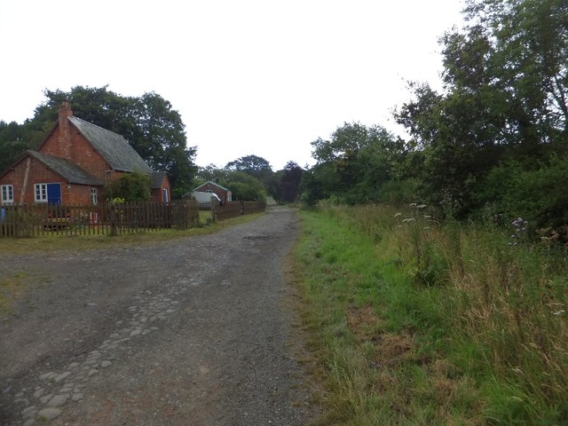
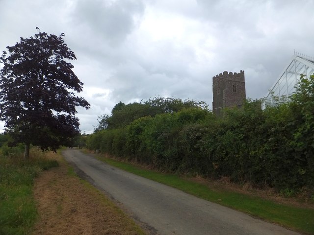
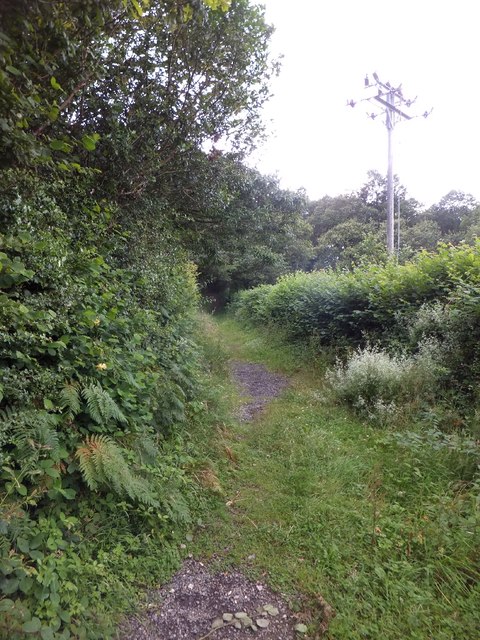
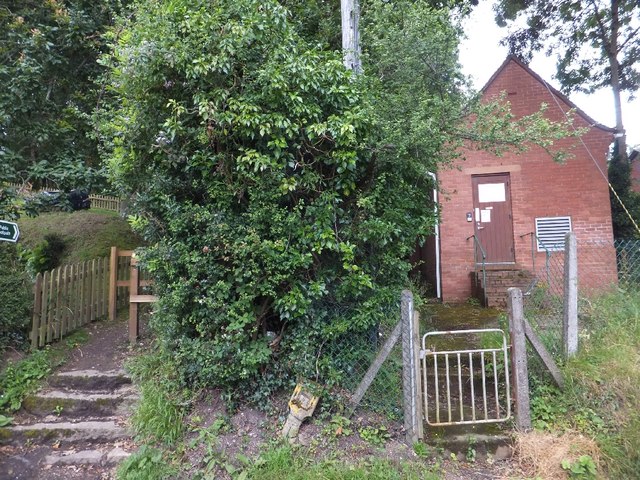
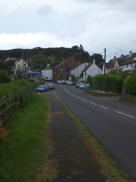
Eastern Cotley Wood Images

Images are sourced within 2km of 50.705028/-3.6070979 or Grid Reference SX8690. Thanks to Geograph Open Source API. All images are credited.

On the B3212 at the brow of the hill after Longdown, heading west
On the B3212, a postbox, public footpath and cyclists
Cyclist on the B3212 heading south-west
Entrance to Woodhayes Farm
Road junction south of Longdown
Road passing Cotley Wood Cotley Wood is almost exactly 1km from east to west, and its boundaries are very close to north-south grid lines.
Road passing Cotley Wood
Cotley Wood is almost exactly 1km from east to west, and its boundaries are very close to north-south grid lines.
Lay-by on A30 near Cutteridge Farm The A30 passes through a shallow cutting here
Lay-by on A30 near Cutteridge Farm
The A30 passes through a shallow cutting here
Cutteridge Lane bridge over A30
Small bridge at Beacon Down The minor road crosses a small stream
Small bridge at Beacon Down
The minor road crosses a small stream
Holcombe Barton Corner The footpath sign points along a minor road in order to make it clear that there is a footpath which leads off the road a short distance from the road junction.
Holcombe Barton Corner
The footpath sign points along a minor road in order to make it clear that there is a footpath which leads off the road a short distance from the road junction.
Footpath through a field at Holcombe Burnell The path has been cleared most effectively, although it is hard to follow in the grass at the edge
Footpath through a field at Holcombe Burnell
The path has been cleared most effectively, although it is hard to follow in the grass at the edge
Footbridge over Culver Brook The brook flows through woodland to the west of the church
Footbridge over Culver Brook
The brook flows through woodland to the west of the church
Cottages near Holcombe Burnell church The church for Longdown is separate from the village, standing next to the manor house.  These buildings are among the small number close to the church
Cottages near Holcombe Burnell church
The church for Longdown is separate from the village, standing next to the manor house. These buildings are among the small number close to the church
The road past Holcombe Burnell church The gateway to the church has a small mounting block (just visible) beside it
The road past Holcombe Burnell church
The gateway to the church has a small mounting block (just visible) beside it
Path in Holcombe Wood The path provides a short cut from Longdown to Holcombe Burnell church
Path in Holcombe Wood
The path provides a short cut from Longdown to Holcombe Burnell church
Path and old telephone exchange The path avoids the descent into the village and is a short cut to Perridge Cross
Path and old telephone exchange
The path avoids the descent into the village and is a short cut to Perridge Cross
The centre of Longdown The red stone building is The Lamb Inn, with a second-hand car dealer opposite
The centre of Longdown
The red stone building is The Lamb Inn, with a second-hand car dealer opposite
Lane and footpath to Westwood Farm
Show me another place!

Eastern Cotley Wood is located at Grid Ref: SX8690 (Lat: 50.705028, Lng: -3.6070979)

Administrative County: Devon

District: Teignbridge

Police Authority: Devon and Cornwall

What 3 Words

///wallet.output.hurray. Near Exeter, Devon

Related Wikis

Longdown

Longdown is a small village in the parish of Holcombe Burnell, south of the A30 road, about four miles west of Exeter in Devon, England. It has a public...

Longdown railway station

Longdown was a railway station serving Longdown, a small village in Devon, England located on the Teign Valley Line between the towns of Newton Abbot and...

Cotley Castle

Cotley Castle is a large Iron Age Hill fort near Dunchideock in Devon and close to Exeter in England. It occupies a significant hilltop at 220 metres...

Holcombe Burnell

Holcombe Burnell is a civil parish in the Teignbridge district, in Devon, England, the church of which is about 4 miles west of Exeter City centre. There...

Nearby Amenities

Located within 500m of 50.705028,-3.6070979
Historic: memorial
Memorial: war_memorial
Lat/Long: 50.7084859/-3.6087242
Bus Stop
Naptan AtcoCode: 1100DEA11415
Naptan NaptanCode: dvndgwgm
Lat/Long: 50.7085357/-3.6071396
Post Box
Brand: Royal Mail
Brand Wikidata: Q638098
Brand Wikipedia: en:Royal Mail
Collection Times: Mo-Fr 16:00; Sa 07:00; Su off
Drive Through: no
Operator: Royal Mail
Operator Wikidata: Q638098
Post Box Mounting: pier
Post Box Type: lamp
Ref: EX6 454
Royal Cypher: EIIR
Royal Cypher Wikidata: Q33102113
Source: survey;streetlevel imagery;aerial imagery
Lat/Long: 50.7085875/-3.6084212
The data included in this document is from www.openstreetmap.org. The data is made available under ODbL.

Have you been to Eastern Cotley Wood?

Leave your review of Eastern Cotley Wood below (or comments, questions and feedback).