Alder Beer Copse

Wood, Forest in Devon Teignbridge

England

Alder Beer Copse

The A30 west at exit for Pathfinder Village
The A30 west at exit for Pathfinder Village Credit: Roy Hughes

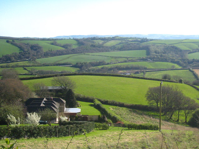
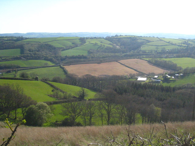
Alder Beer Copse, located in Devon, England, is a captivating woodland area renowned for its natural beauty and diverse ecosystem. This ancient forest covers an expanse of approximately 100 acres and is home to a plethora of flora and fauna species. The copse gets its name from the presence of Alder trees, which dominate the landscape and provide a unique charm to the area.

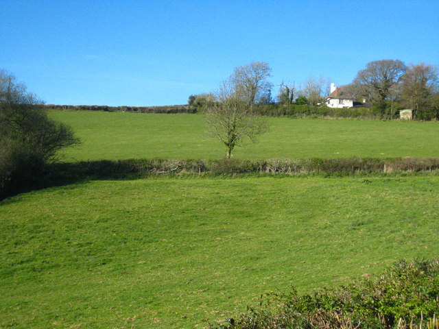
The forest floor is adorned with a rich carpet of mosses, ferns, and wildflowers, creating a vibrant and enchanting environment. Walking through Alder Beer Copse, visitors can enjoy the soothing sound of the nearby river, which meanders through the heart of the woodland. The river serves as a lifeline for the various wildlife species that call this copse their home.

The copse acts as a sanctuary for numerous bird species, including the rare pied flycatcher and wood warbler. These birds find shelter among the dense canopy of Alder and Oak trees, which also provide nesting sites for many other woodland creatures. Keen-eyed visitors may spot roe deer, foxes, and even the elusive European badger that inhabit the copse.

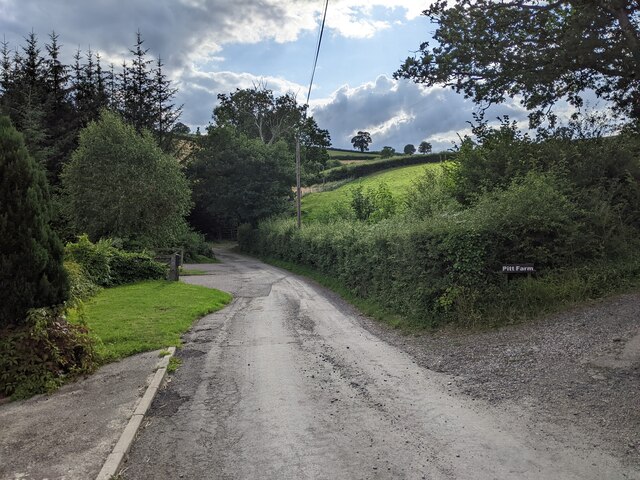
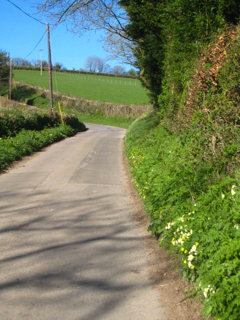
Alder Beer Copse is a popular destination for nature enthusiasts and hikers alike, offering a network of well-maintained trails that wind through the forest. These trails provide an opportunity to explore the copse's diverse habitats, from open meadows to dense thickets. The copse also boasts several picnic areas, allowing visitors to relax and immerse themselves in the tranquility of the surroundings.

Overall, Alder Beer Copse in Devon is a picturesque woodland that captivates visitors with its natural splendor and abundant wildlife. It is a haven for those seeking solace in nature and a testament to the beauty of the British countryside.

If you have any feedback on the listing, please let us know in the comments section below.

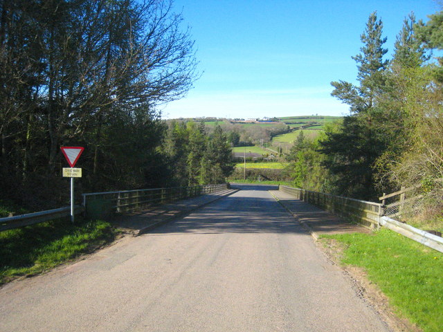
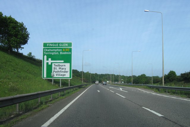
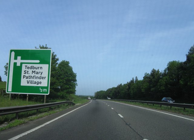
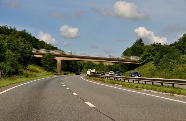
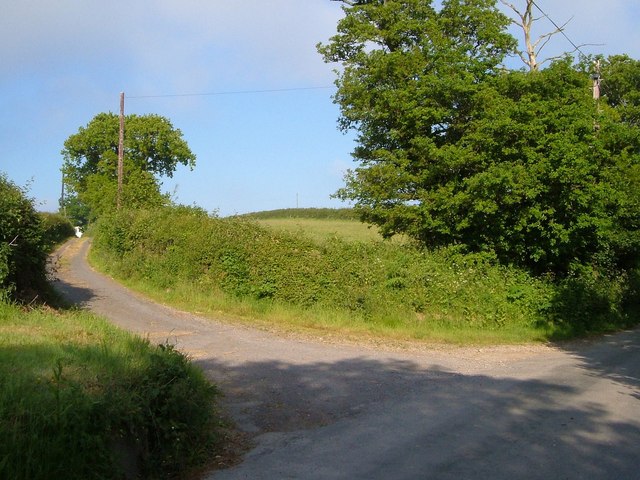
Alder Beer Copse Images

Images are sourced within 2km of 50.723288/-3.6321196 or Grid Reference SX8492. Thanks to Geograph Open Source API. All images are credited.

The A30 west at exit for Pathfinder Village
Entrance to Woodhayes Farm
Lane passing Kingsford Farm and the lane to Pitt Farm
View across the Alphin Brook valley west of Whitestone In the centre left of the photo is a glimpse of the A30, with an accommodation bridge at Higher Winter Cleave visible just above the centre right.
View across the Alphin Brook valley west of Whitestone
In the centre left of the photo is a glimpse of the A30, with an accommodation bridge at Higher Winter Cleave visible just above the centre right.
The upper valley of the Alphin Brook The farm on the right is Lower Hare Farm and the wooded valley at upper left is Higher Winter Cleave in square <a href="https://www.geograph.org.uk/gridref/SX8592">SX8592</a>.
The upper valley of the Alphin Brook
The farm on the right is Lower Hare Farm and the wooded valley at upper left is Higher Winter Cleave in square SX8592.
Fields in Heath Lane The house is Heath Cross Cottage.
Fields in Heath Lane
The house is Heath Cross Cottage.
Heath Lane Looking up the hill towards Heath Cross.
Heath Lane
Looking up the hill towards Heath Cross.
Looking east along the A30 Seen from the overbridge near Pathfinder Village.
Looking east along the A30
Seen from the overbridge near Pathfinder Village.
Bridge over the A30 Carrying the minor road east of Pathfinder Village.  Heath Lane can be seen running up the hill in the distance <a href="https://www.geograph.org.uk/photo/2355387">SX8494 : Heath Lane</a>.
Bridge over the A30
Carrying the minor road east of Pathfinder Village. Heath Lane can be seen running up the hill in the distance SX8494 : Heath Lane.
Fingle Glen junction, A30
Pathfinder Village turning, A30
Teignbridge : A30 Dual Carriageway The dual carriageway passes through the northern part of the Teignbridge District and out towards West Devon.
Teignbridge : A30 Dual Carriageway
The dual carriageway passes through the northern part of the Teignbridge District and out towards West Devon.
Teignbridge : A30 Layby A shack on a layby beside the A30 known as The Owl.
Teignbridge : A30 Layby
A shack on a layby beside the A30 known as The Owl.
The Travellers Rest inn on the old A30
View across the A30 near Five Mile Farm The woodland close to this lay-by stretches on both sides of the dual carriageway
View across the A30 near Five Mile Farm
The woodland close to this lay-by stretches on both sides of the dual carriageway
Field entrance, South Lendon A view from the lane between Halstow and Barton Head. The fields in the background are in <a href="https://www.geograph.org.uk/gridref/SX8292">SX8292</a>.
Field entrance, South Lendon
A view from the lane between Halstow and Barton Head. The fields in the background are in SX8292.
Lane to South Lendon A farm lane leading off the ridge-top lane between Halstow and Barton Head.
Lane to South Lendon
A farm lane leading off the ridge-top lane between Halstow and Barton Head.
Lane to Downhouse Farm A farm lane leading off from the ridge-top lane between Barton Head and Halstow.
Lane to Downhouse Farm
A farm lane leading off from the ridge-top lane between Barton Head and Halstow.
Show me another place!

Alder Beer Copse is located at Grid Ref: SX8492 (Lat: 50.723288, Lng: -3.6321196)

Administrative County: Devon

District: Teignbridge

Police Authority: Devon and Cornwall

What 3 Words

///voter.damage.hurricane. Near Crediton, Devon

Related Wikis

Holcombe Burnell

Holcombe Burnell is a civil parish in the Teignbridge district, in Devon, England, the church of which is about 4 miles west of Exeter City centre. There...

Whitestone, Devon

Whitestone () is a small village in Devon, England, approximately 4 miles west of Exeter. It is in the parish of Whitestone; one of the 45 parish and town...

Longdown railway station

Longdown was a railway station serving Longdown, a small village in Devon, England located on the Teign Valley Line between the towns of Newton Abbot and...

Longdown

Longdown is a small village in the parish of Holcombe Burnell, south of the A30 road, about four miles west of Exeter in Devon, England. It has a public...

Cotley Castle

Cotley Castle is a large Iron Age Hill fort near Dunchideock in Devon and close to Exeter in England. It occupies a significant hilltop at 220 metres...

Dunsford Halt railway station

Dunsford Halt was a railway station serving Dunsford, a small village in Devon, England, on the Teign Valley Line between the towns of Newton Abbot and...

Tedburn St Mary

Tedburn St Mary is a village and civil parish in the Teignbridge district of Devon, England, approximately 8 miles west of Exeter. It has a population...

Dunsford

Dunsford is a village in Devon, England, just inside the Dartmoor National Park. The place-name 'Dunsford' is first attested in the Domesday Book of 1086...

Nearby Amenities

Located within 500m of 50.723288,-3.6321196
Incline: 20%
Lat/Long: 50.7236615/-3.6390659
Phone
Check Date: 2023-08-22
Emergency: phone
Source: survey
Lat/Long: 50.7246775/-3.6320631
Phone
Emergency: phone
Source: survey
Lat/Long: 50.7236343/-3.6292602
Parking
Fee: no
Note: Layby
Parking: surface
Source: survey
Lat/Long: 50.7247842/-3.6325116
Parking
Access: yes
Fee: no
Note: Layby
Parking: surface
Source: survey
Lat/Long: 50.7236025/-3.6289009
Higer Winter Cleave
Place: locality
Source: OS_OpenData_StreetView
Lat/Long: 50.7221109/-3.6286064
Generator Method: photovoltaic
Generator Output Electricity: yes
Generator Source: solar
Generator Type: solar_photovoltaic_panel
Location: roof
Power: generator
Lat/Long: 50.7255149/-3.6276421
Power: pole
Source: bing
Lat/Long: 50.7240564/-3.6289537
Power: pole
Source: bing
Lat/Long: 50.7241939/-3.6265799
Power: pole
Source: bing
Lat/Long: 50.7243484/-3.6280578
Power: pole
Source: bing
Lat/Long: 50.7237609/-3.6298147
Poles: bipole
Power: pole
Source: bing
Lat/Long: 50.7235164/-3.6305711
Power: pole
Source: bing
Lat/Long: 50.7240292/-3.6320195
Power: pole
Source: bing
Lat/Long: 50.7242347/-3.6352381
Power: pole
Source: bing
Lat/Long: 50.7243196/-3.6367804
Power: pole
Source: bing
Lat/Long: 50.7245861/-3.6379874
Power: pole
Source: bing
Lat/Long: 50.7253417/-3.637923
The data included in this document is from www.openstreetmap.org. The data is made available under ODbL.

Have you been to Alder Beer Copse?

Leave your review of Alder Beer Copse below (or comments, questions and feedback).