Orchard Copse
Wood, Forest in Devon Teignbridge
England
Orchard Copse
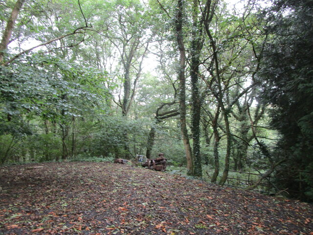
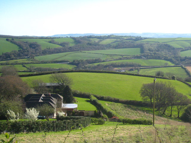
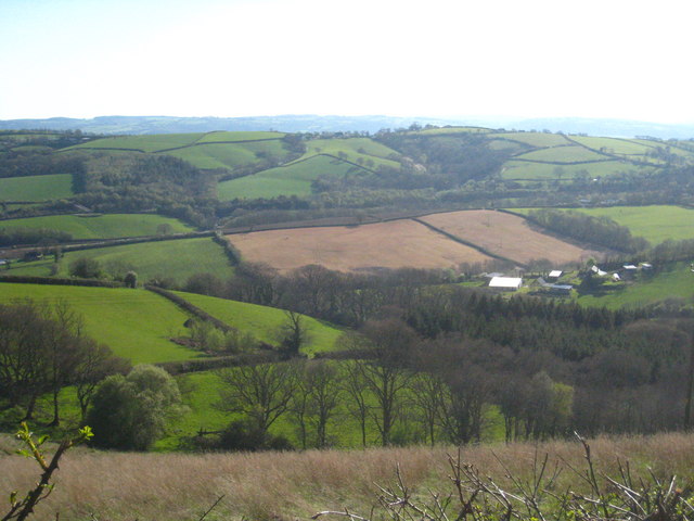
Orchard Copse, located in Devon, England, is a picturesque wood or forest area that offers stunning natural beauty and a tranquil atmosphere. Covering an approximate area of __ hectares, this woodland is a haven for nature enthusiasts and a popular destination for those seeking peace and serenity.
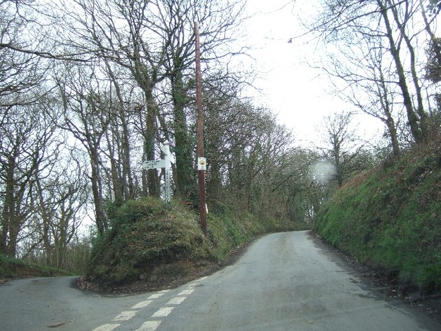
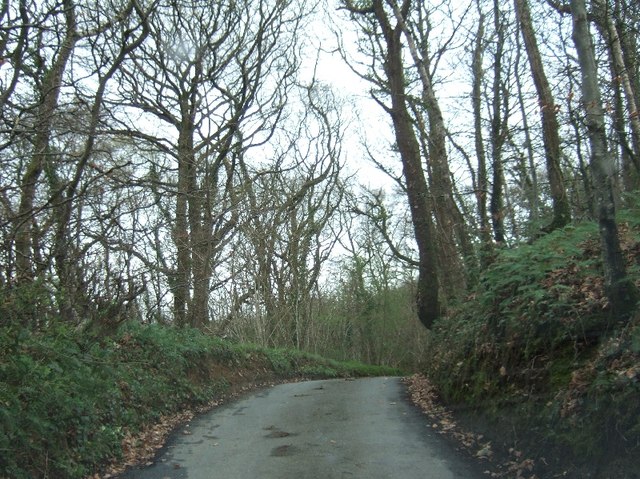
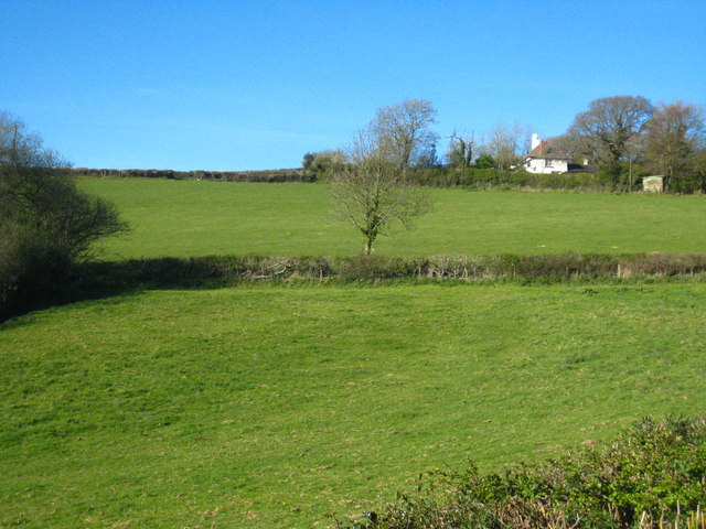
Orchard Copse is known for its diverse range of trees, including oak, beech, birch, and chestnut, which create a vibrant and ever-changing landscape throughout the year. The forest floor is covered in lush foliage and wildflowers, providing a home for a variety of wildlife, such as squirrels, rabbits, and various bird species.
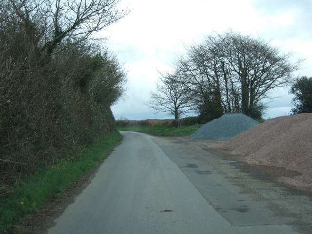
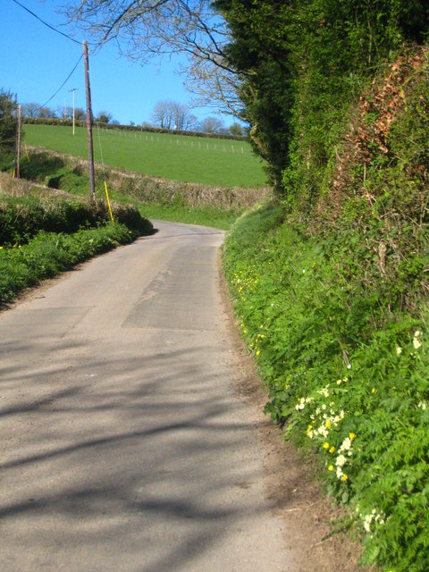
The wood features well-maintained footpaths and trails, making it perfect for leisurely walks, jogging, or cycling. Visitors can immerse themselves in the beauty of nature, enjoying the sights and sounds of the surrounding woodland. The peaceful ambiance makes Orchard Copse a popular spot for meditation, yoga, or simply finding solace away from the hustle and bustle of city life.
Additionally, the wood offers a range of amenities for visitors, including picnic areas and benches strategically placed to provide breathtaking views. Nature enthusiasts can indulge in birdwatching or take photographs of the stunning flora and fauna that call Orchard Copse their home.
Overall, Orchard Copse in Devon is a natural gem, offering a scenic retreat for individuals seeking to reconnect with nature and find solace in the peaceful surroundings of this enchanting woodland.
If you have any feedback on the listing, please let us know in the comments section below.
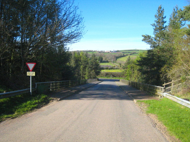
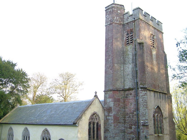
Orchard Copse Images
Images are sourced within 2km of 50.732941/-3.6331637 or Grid Reference SX8493. Thanks to Geograph Open Source API. All images are credited.


Orchard Copse is located at Grid Ref: SX8493 (Lat: 50.732941, Lng: -3.6331637)
Administrative County: Devon
District: Teignbridge
Police Authority: Devon and Cornwall
What 3 Words
///ripen.detonated.thread. Near Crediton, Devon
Nearby Locations
Related Wikis

Holcombe Burnell
Holcombe Burnell is a civil parish in the Teignbridge district, in Devon, England, the church of which is about 4 miles west of Exeter City centre. There...
Whitestone, Devon
Whitestone () is a small village in Devon, England, approximately 4 miles west of Exeter. It is in the parish of Whitestone; one of the 45 parish and town...

Tedburn St Mary
Tedburn St Mary is a village and civil parish in the Teignbridge district of Devon, England, approximately 8 miles west of Exeter. It has a population...

Longdown railway station
Longdown was a railway station serving Longdown, a small village in Devon, England located on the Teign Valley Line between the towns of Newton Abbot and...

Longdown
Longdown is a small village in the parish of Holcombe Burnell, south of the A30 road, about four miles west of Exeter in Devon, England. It has a public...
Dunsford Halt railway station
Dunsford Halt was a railway station serving Dunsford, a small village in Devon, England, on the Teign Valley Line between the towns of Newton Abbot and...

Cotley Castle
Cotley Castle is a large Iron Age Hill fort near Dunchideock in Devon and close to Exeter in England. It occupies a significant hilltop at 220 metres...

Newton St Cyres
Newton St Cyres (, like "sires") is a village, civil parish former manor and former ecclesiastical parish in Mid Devon, in the English county of Devon...
Nearby Amenities
Located within 500m of 50.732941,-3.6331637Have you been to Orchard Copse?
Leave your review of Orchard Copse below (or comments, questions and feedback).