Whitley Brake

Wood, Forest in Devon Teignbridge

England

Whitley Brake

Great Copse, Pound Down
Great Copse, Pound Down Credit: Jonathan Thacker

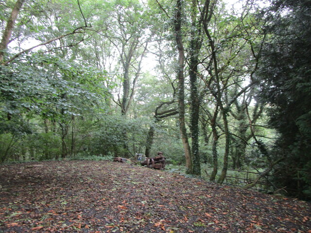
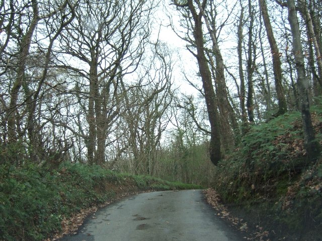
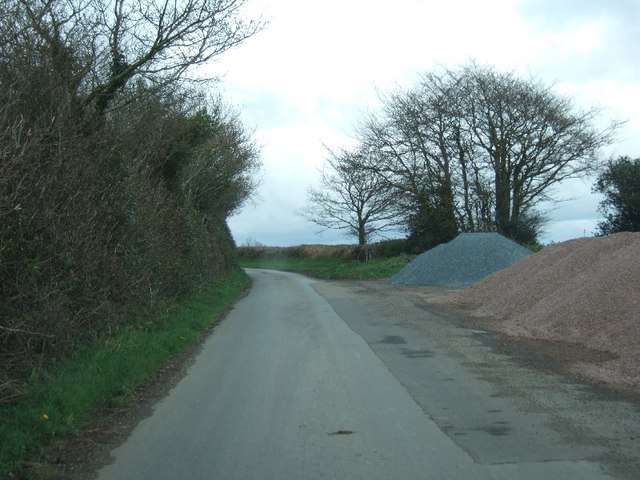
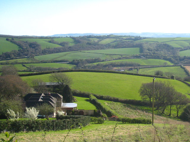
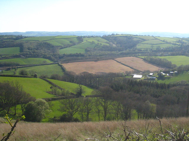
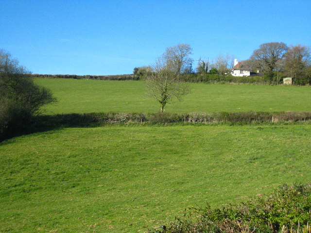
Whitley Brake is a picturesque wood located in the county of Devon, England. Nestled in the heart of the Devonshire countryside, this forested area is a haven for nature enthusiasts and those seeking a tranquil retreat. The wood is situated near the village of Whitley and covers an expansive area of lush greenery.

Whitley Brake is renowned for its diverse range of tree species, including oak, beech, and birch, which create a rich and vibrant ecosystem. The forest floor is carpeted with an array of wildflowers, adding bursts of color to the landscape. This abundance of flora attracts a variety of wildlife, making it a popular spot for birdwatchers and nature photographers alike.

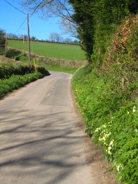
The wood offers a network of well-maintained walking trails, allowing visitors to explore its serene surroundings. These trails cater to different abilities, from leisurely strolls to more challenging hikes, ensuring there is something for everyone. Along the way, hikers can witness the beauty of Whitley Brake's ancient trees and may even stumble upon hidden streams and small waterfalls.

Whitley Brake is also home to a number of picnic areas, providing the perfect opportunity to relax and enjoy the peaceful ambiance of the forest. These spots offer breathtaking views of the surrounding countryside and are ideal for family outings or romantic picnics.

Overall, Whitley Brake is a true gem in Devon's natural landscape. Its tranquil woodlands, diverse flora and fauna, and well-maintained trails make it a must-visit destination for nature lovers and outdoor enthusiasts seeking solace in the beauty of the English countryside.

If you have any feedback on the listing, please let us know in the comments section below.

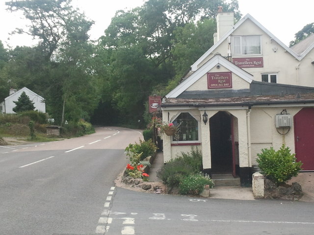
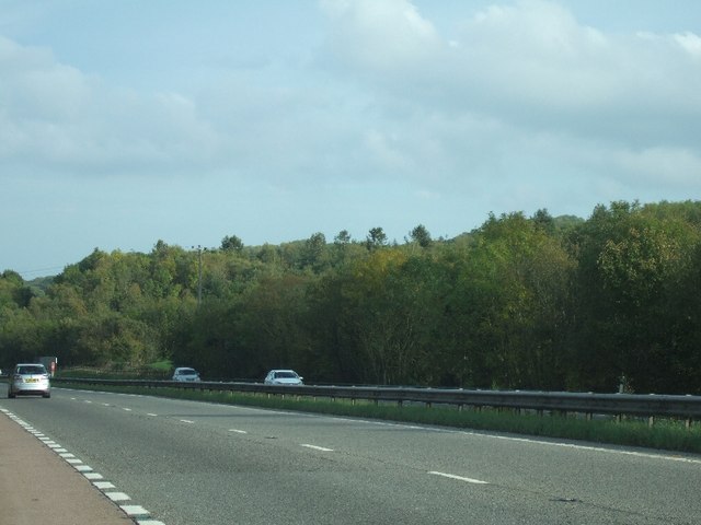
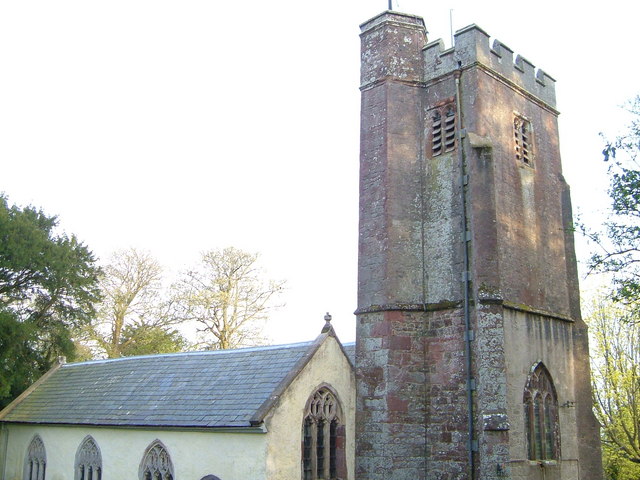
Whitley Brake Images

Images are sourced within 2km of 50.72672/-3.6330181 or Grid Reference SX8493. Thanks to Geograph Open Source API. All images are credited.

Great Copse, Pound Down
The A30 west at exit for Pathfinder Village
Entrance to Woodhayes Farm
Twiscombe Corner
Twiscombe Corner
Road in Great Copse
Road in Great Copse
Layby near Pound Down Corner The layby was in use as a place for storing gravel
Layby near Pound Down Corner
The layby was in use as a place for storing gravel
View across the Alphin Brook valley west of Whitestone In the centre left of the photo is a glimpse of the A30, with an accommodation bridge at Higher Winter Cleave visible just above the centre right.
View across the Alphin Brook valley west of Whitestone
In the centre left of the photo is a glimpse of the A30, with an accommodation bridge at Higher Winter Cleave visible just above the centre right.
The upper valley of the Alphin Brook The farm on the right is Lower Hare Farm and the wooded valley at upper left is Higher Winter Cleave in square <a href="https://www.geograph.org.uk/gridref/SX8592">SX8592</a>.
The upper valley of the Alphin Brook
The farm on the right is Lower Hare Farm and the wooded valley at upper left is Higher Winter Cleave in square SX8592.
Fields in Heath Lane The house is Heath Cross Cottage.
Fields in Heath Lane
The house is Heath Cross Cottage.
Heath Lane Looking up the hill towards Heath Cross.
Heath Lane
Looking up the hill towards Heath Cross.
Looking east along the A30 Seen from the overbridge near Pathfinder Village.
Looking east along the A30
Seen from the overbridge near Pathfinder Village.
Bridge over the A30 Carrying the minor road east of Pathfinder Village.  Heath Lane can be seen running up the hill in the distance <a href="https://www.geograph.org.uk/photo/2355387">SX8494 : Heath Lane</a>.
Bridge over the A30
Carrying the minor road east of Pathfinder Village. Heath Lane can be seen running up the hill in the distance SX8494 : Heath Lane.
Fingle Glen junction, A30
Pathfinder Village turning, A30
Teignbridge : A30 Dual Carriageway The dual carriageway passes through the northern part of the Teignbridge District and out towards West Devon.
Teignbridge : A30 Dual Carriageway
The dual carriageway passes through the northern part of the Teignbridge District and out towards West Devon.
Teignbridge : A30 Layby A shack on a layby beside the A30 known as The Owl.
Teignbridge : A30 Layby
A shack on a layby beside the A30 known as The Owl.
The Travellers Rest inn on the old A30
View across the A30 near Five Mile Farm The woodland close to this lay-by stretches on both sides of the dual carriageway
View across the A30 near Five Mile Farm
The woodland close to this lay-by stretches on both sides of the dual carriageway
Show me another place!

Whitley Brake is located at Grid Ref: SX8493 (Lat: 50.72672, Lng: -3.6330181)

Administrative County: Devon

District: Teignbridge

Police Authority: Devon and Cornwall

What 3 Words

///primed.tradition.frames. Near Crediton, Devon

Related Wikis

Holcombe Burnell

Holcombe Burnell is a civil parish in the Teignbridge district, in Devon, England, the church of which is about 4 miles west of Exeter City centre. There...

Whitestone, Devon

Whitestone () is a small village in Devon, England, approximately 4 miles west of Exeter. It is in the parish of Whitestone; one of the 45 parish and town...

Longdown railway station

Longdown was a railway station serving Longdown, a small village in Devon, England located on the Teign Valley Line between the towns of Newton Abbot and...

Longdown

Longdown is a small village in the parish of Holcombe Burnell, south of the A30 road, about four miles west of Exeter in Devon, England. It has a public...

Nearby Amenities

Located within 500m of 50.72672,-3.6330181
Post Box
Brand: Royal Mail
Brand Wikidata: Q638098
Brand Wikipedia: en:Royal Mail
Collection Times: Mo-Fr 09:00; Sa 07:00; Su off
Operator: Royal Mail
Operator Wikidata: Q638098
Post Box Design: 2010_pattern
Post Box Mounting: pier
Post Box Type: lamp
Ref: EX6 223D
Royal Cypher: EIIR
Royal Cypher Wikidata: Q33102113
Source: survey;streetlevel imagery;aerial imagery
Lat/Long: 50.7264205/-3.6386821
Phone
Check Date: 2023-08-22
Emergency: phone
Source: survey
Lat/Long: 50.7246775/-3.6320631
Phone
Emergency: phone
Source: survey
Lat/Long: 50.7236343/-3.6292602
Parking
Access: yes
Fee: no
Note: Layby
Parking: surface
Source: survey
Lat/Long: 50.7247842/-3.6325116
Parking
Access: yes
Fee: no
Note: Layby
Parking: surface
Source: survey
Lat/Long: 50.7236025/-3.6289009
Generator Method: photovoltaic
Generator Output Electricity: yes
Generator Source: solar
Generator Type: solar_photovoltaic_panel
Location: roof
Power: generator
Lat/Long: 50.7255149/-3.6276421
Power: pole
Source: bing
Lat/Long: 50.7240564/-3.6289537
Power: pole
Source: bing
Lat/Long: 50.7243484/-3.6280578
Power: pole
Source: bing
Lat/Long: 50.7237609/-3.6298147
Poles: bipole
Power: pole
Source: bing
Lat/Long: 50.7235164/-3.6305711
Power: pole
Source: bing
Lat/Long: 50.7240292/-3.6320195
Power: pole
Source: bing
Lat/Long: 50.7242347/-3.6352381
Power: pole
Source: bing
Lat/Long: 50.7243196/-3.6367804
Power: pole
Source: bing
Lat/Long: 50.7245861/-3.6379874
Power: pole
Source: bing
Lat/Long: 50.7248188/-3.6389852
Power: pole
Source: bing
Lat/Long: 50.7253417/-3.637923
Material: wood
Power: pole
Source: bing
Lat/Long: 50.7262646/-3.6385185
The data included in this document is from www.openstreetmap.org. The data is made available under ODbL.

Have you been to Whitley Brake?

Leave your review of Whitley Brake below (or comments, questions and feedback).